Buck Rock Tunnel Archaeological Tours

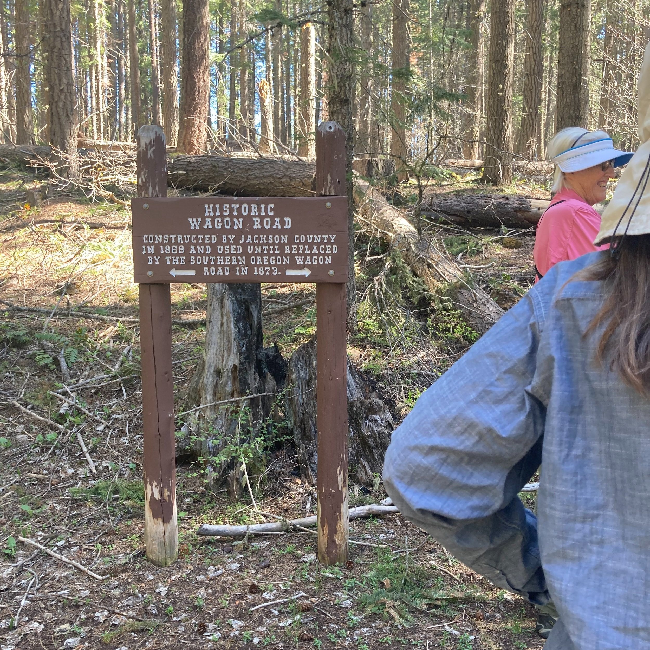
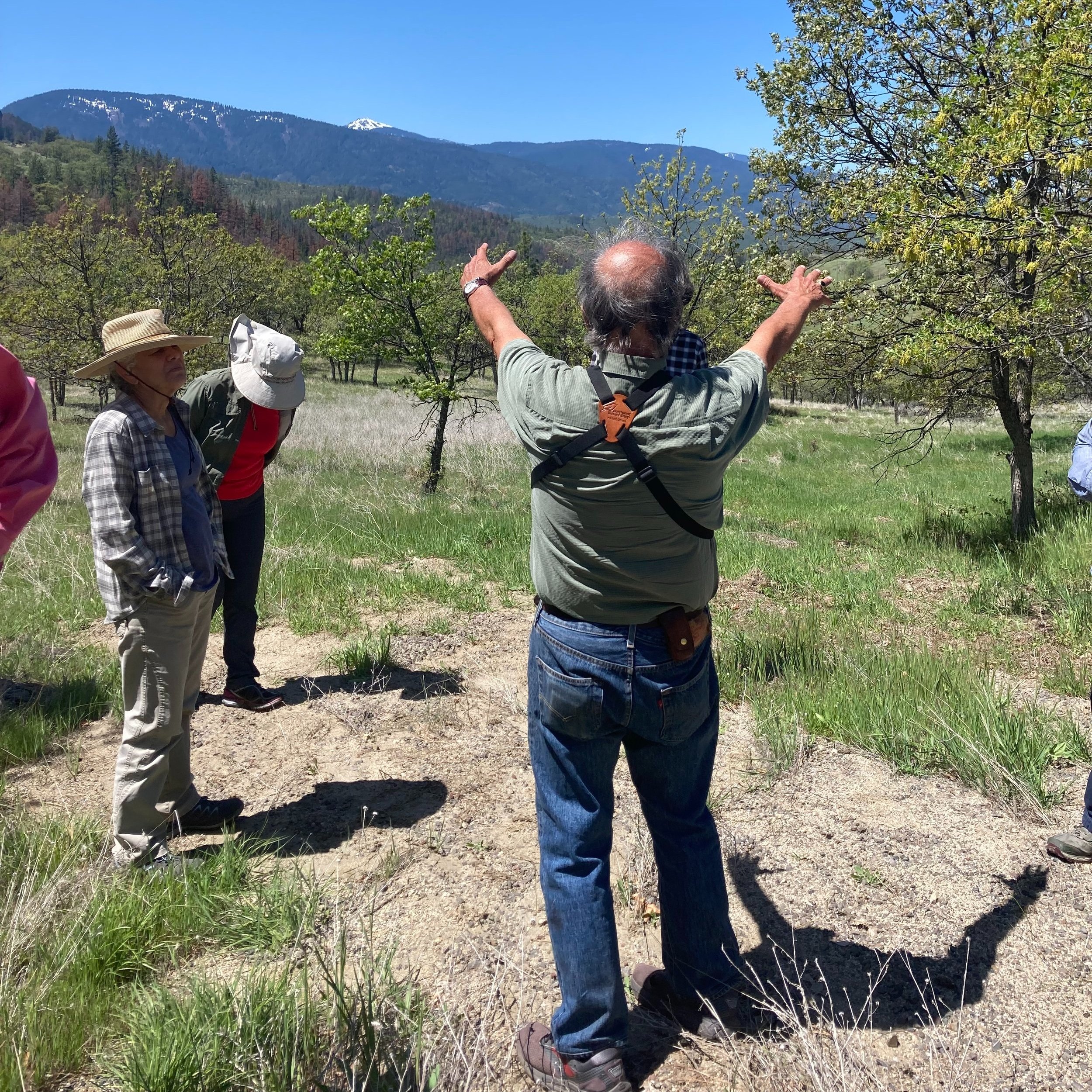
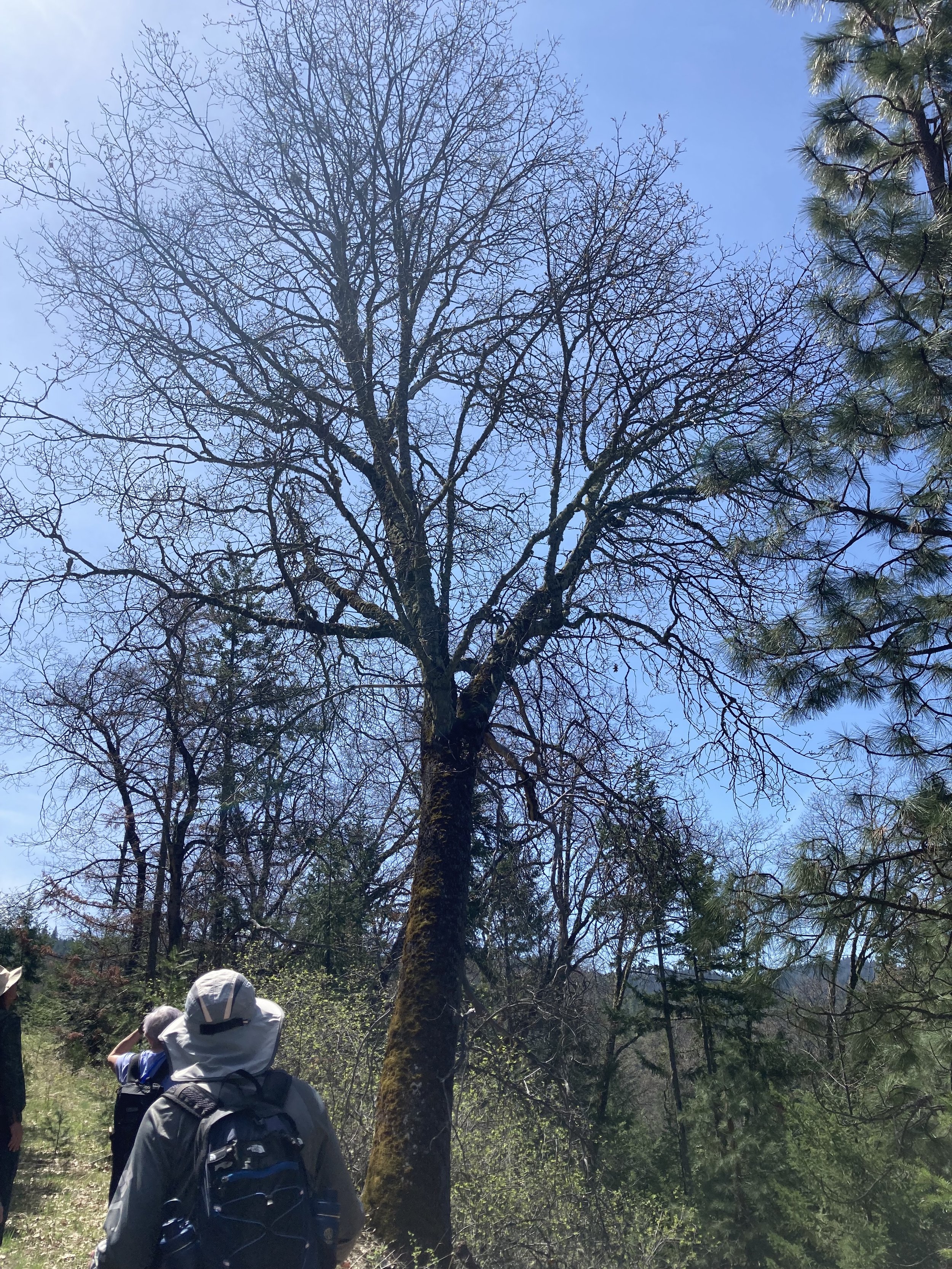
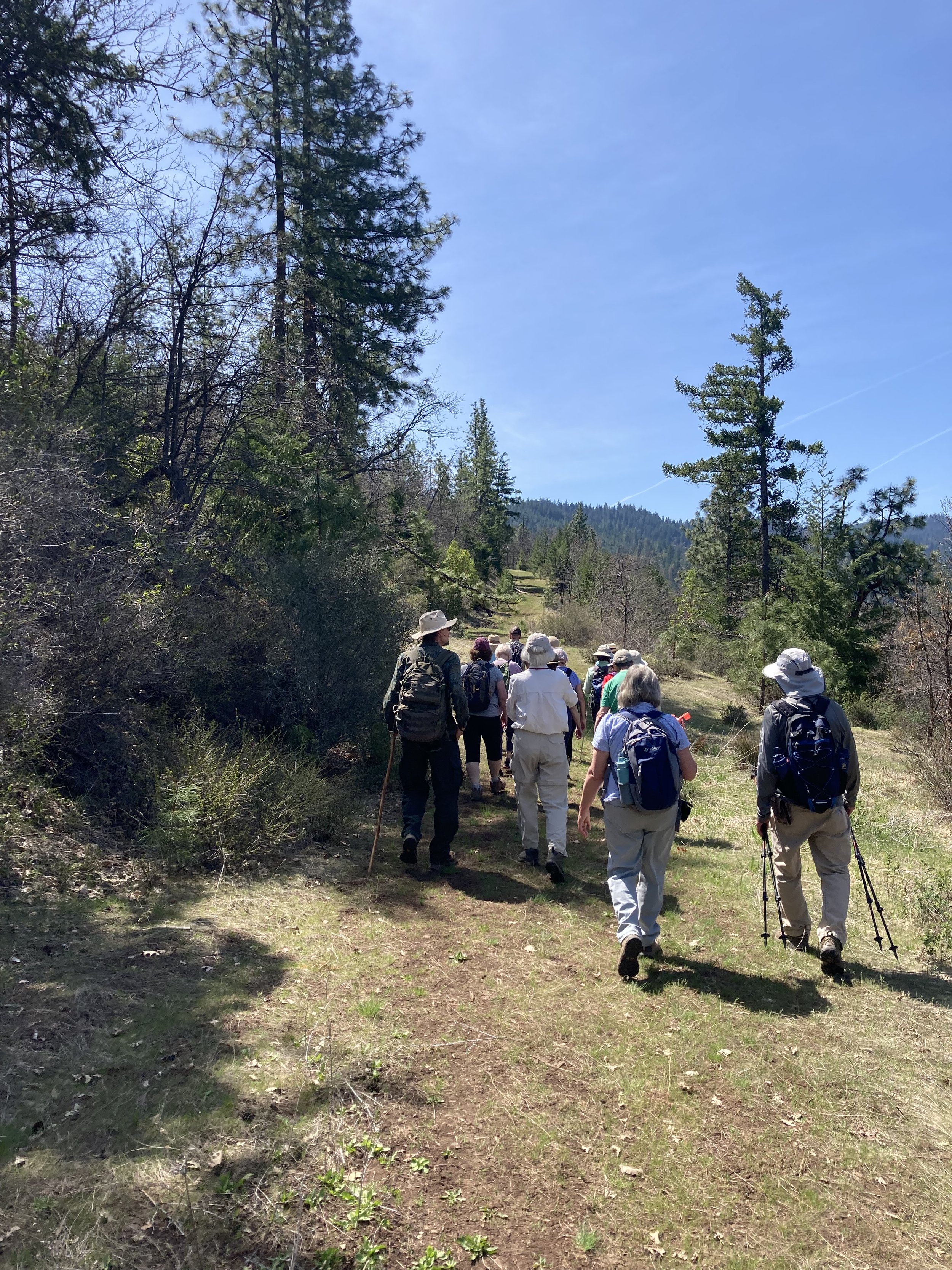
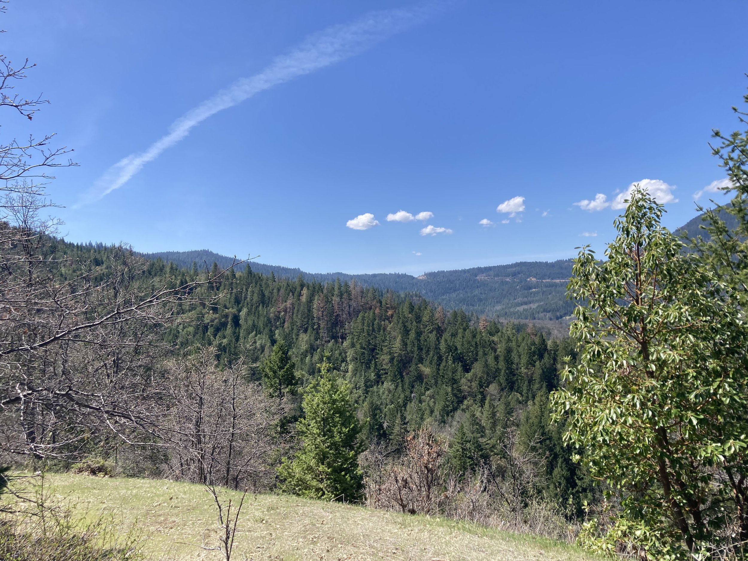
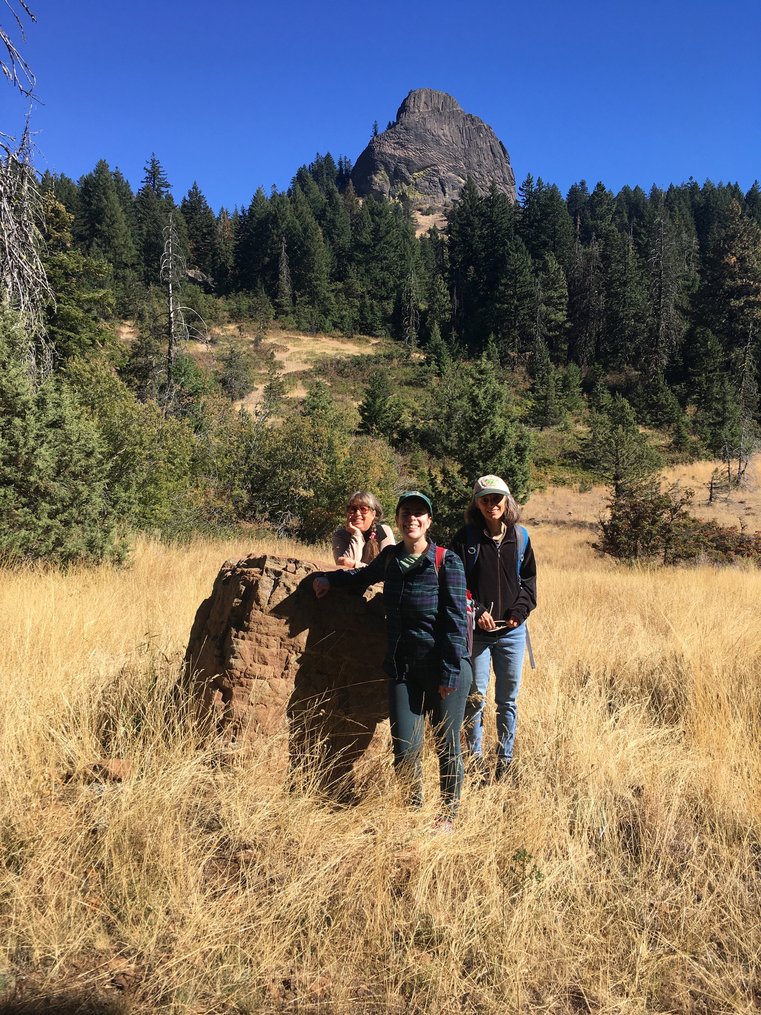
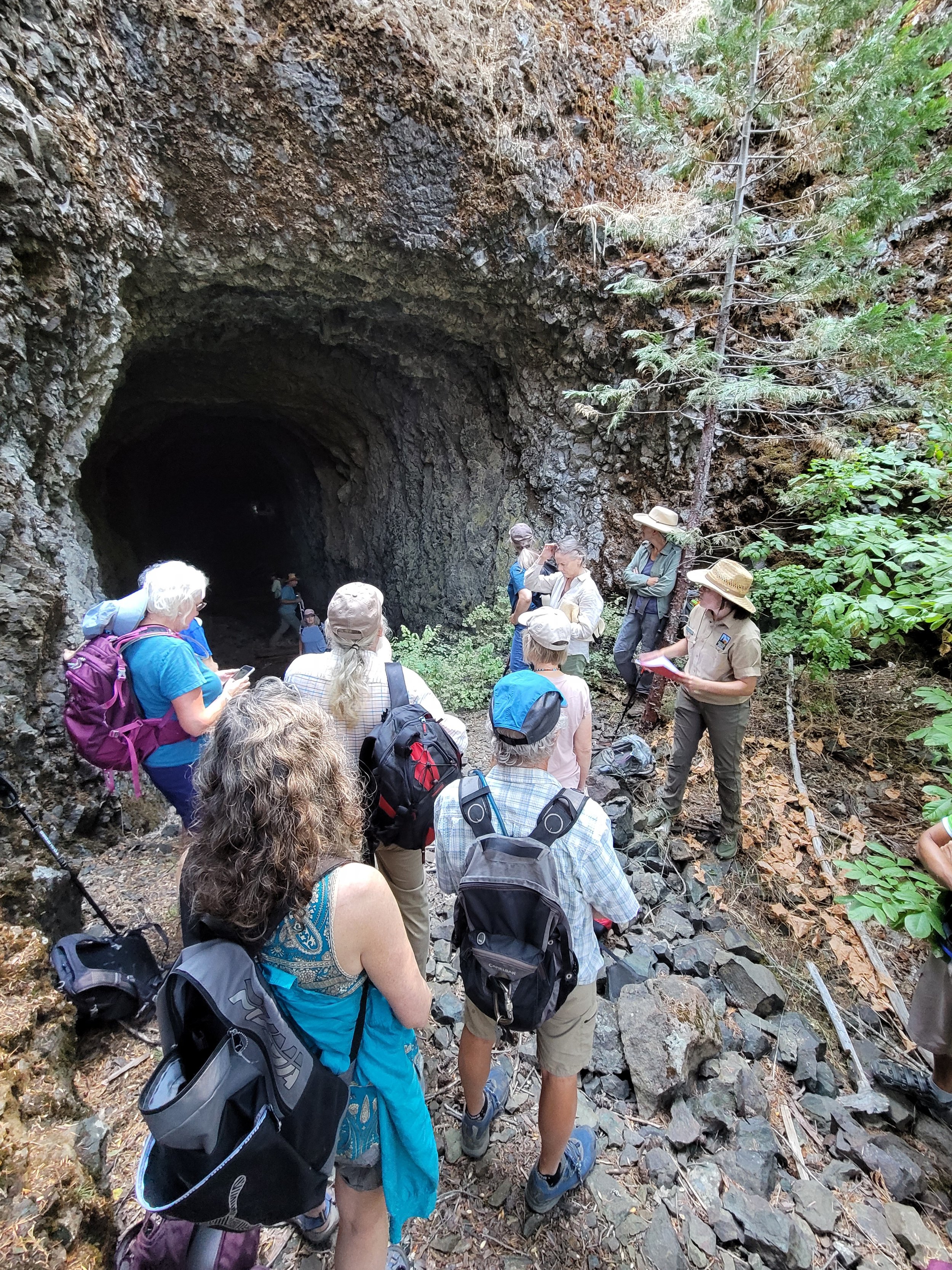
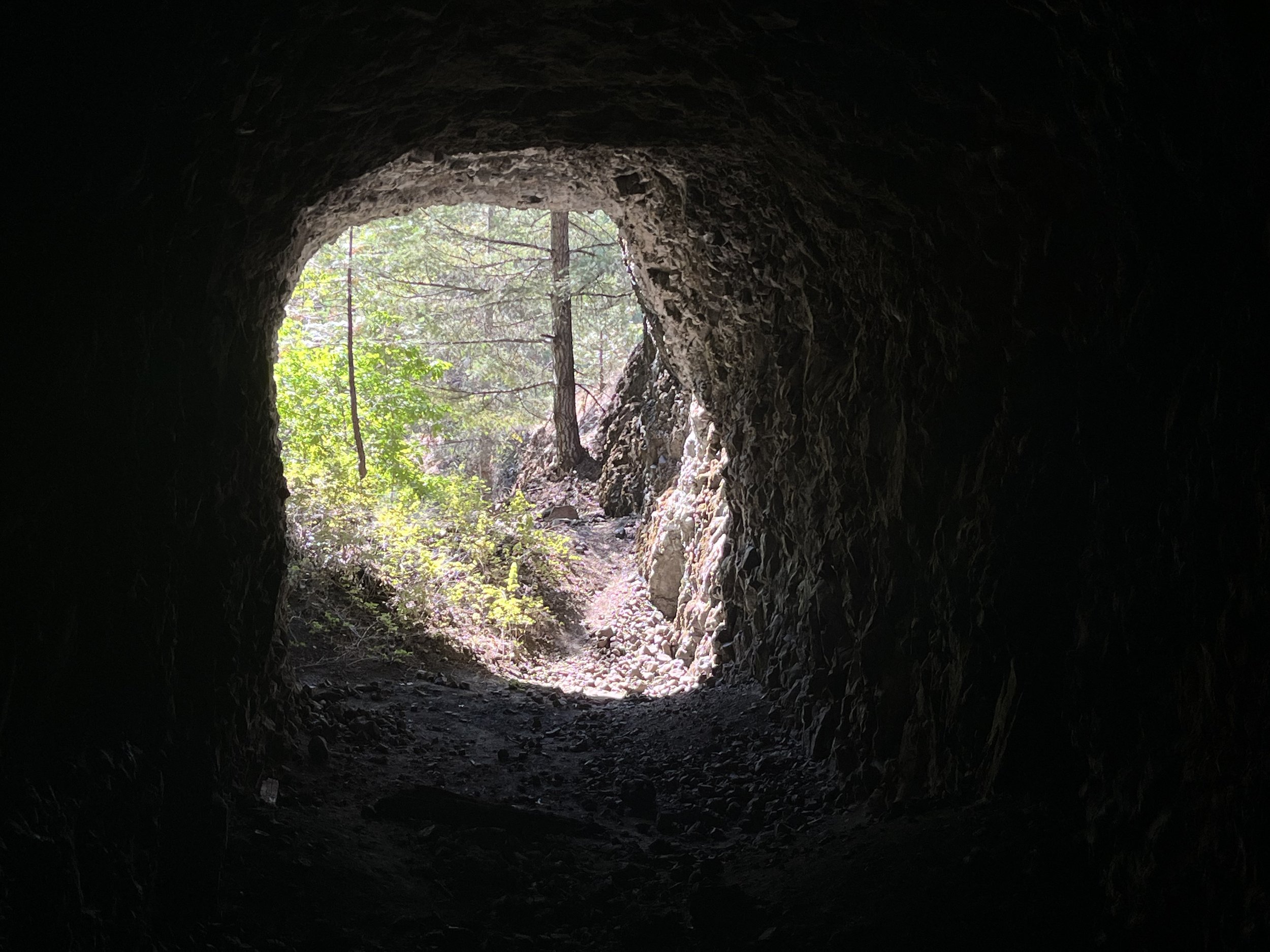
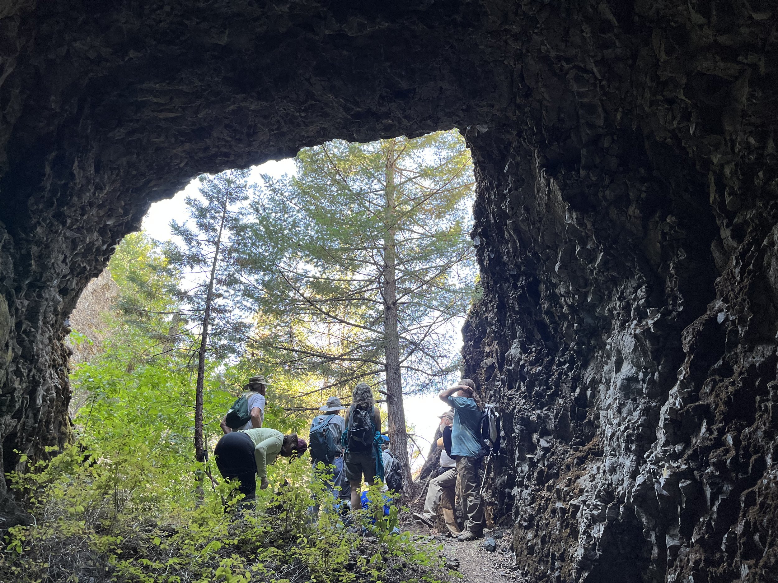
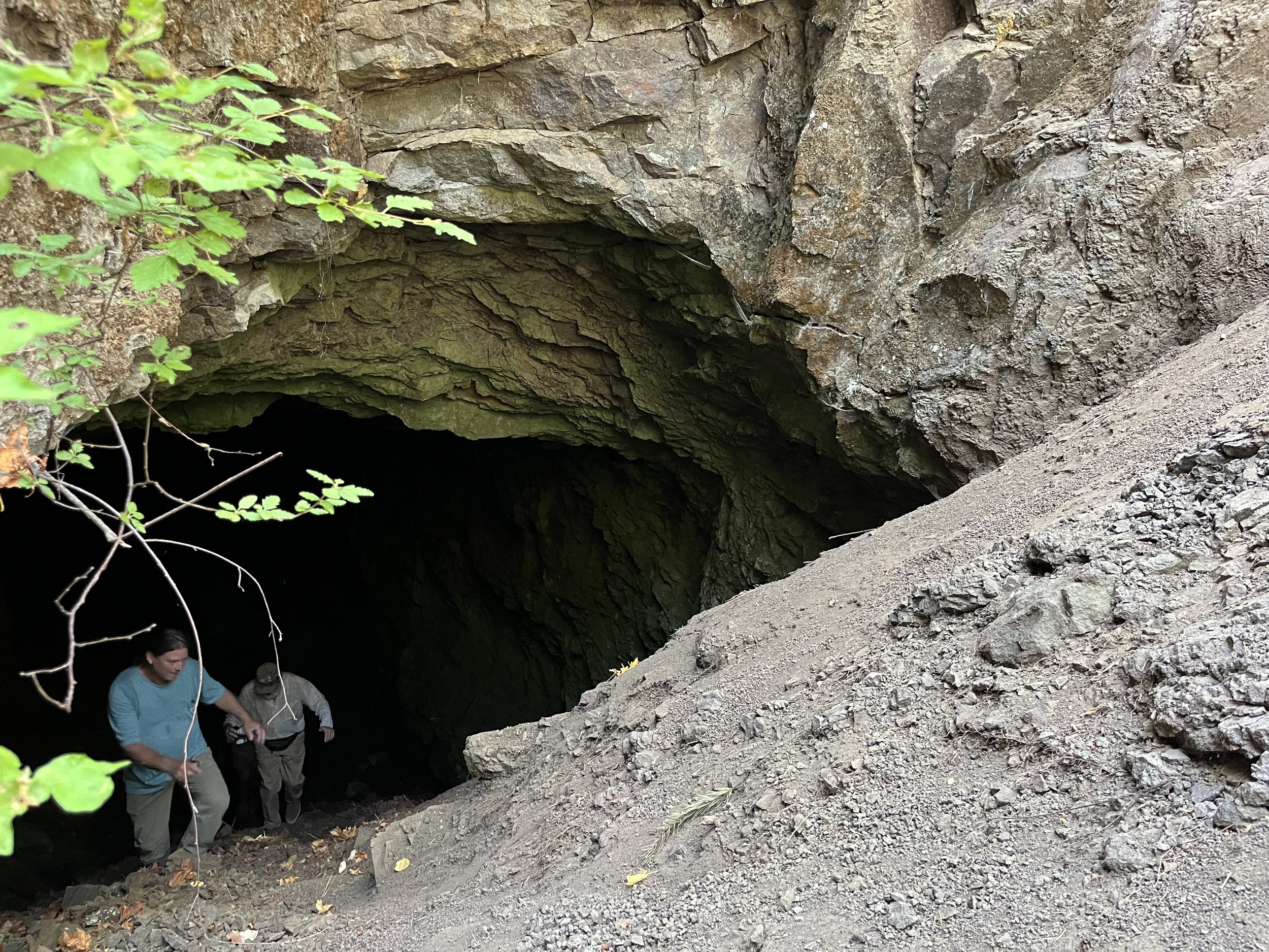
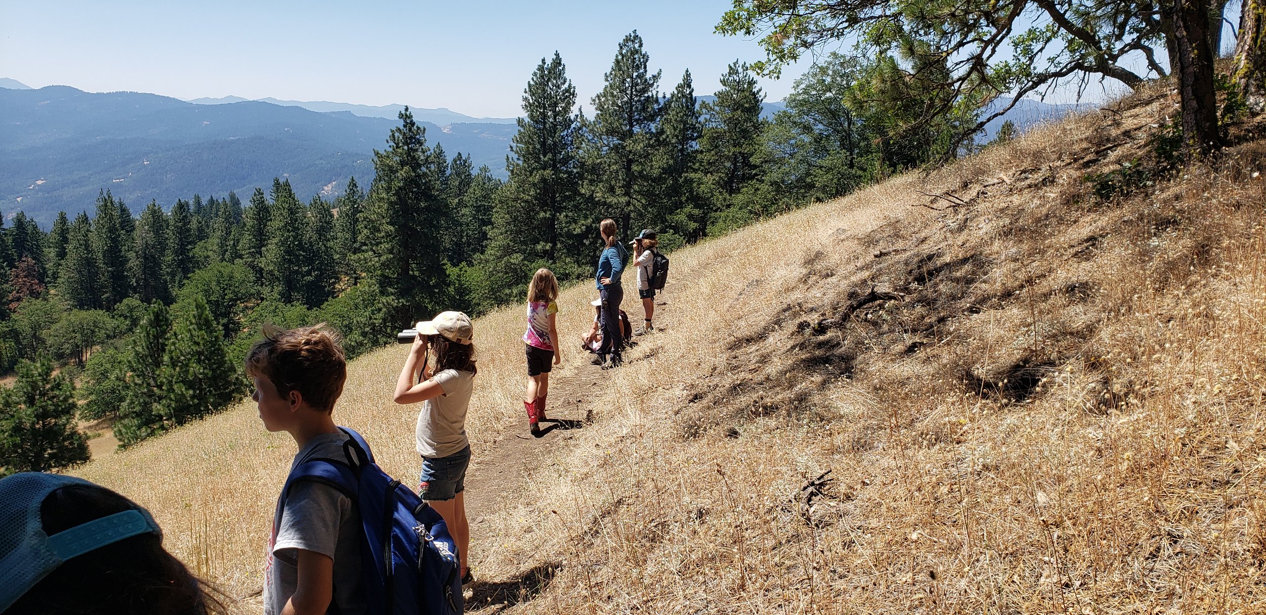
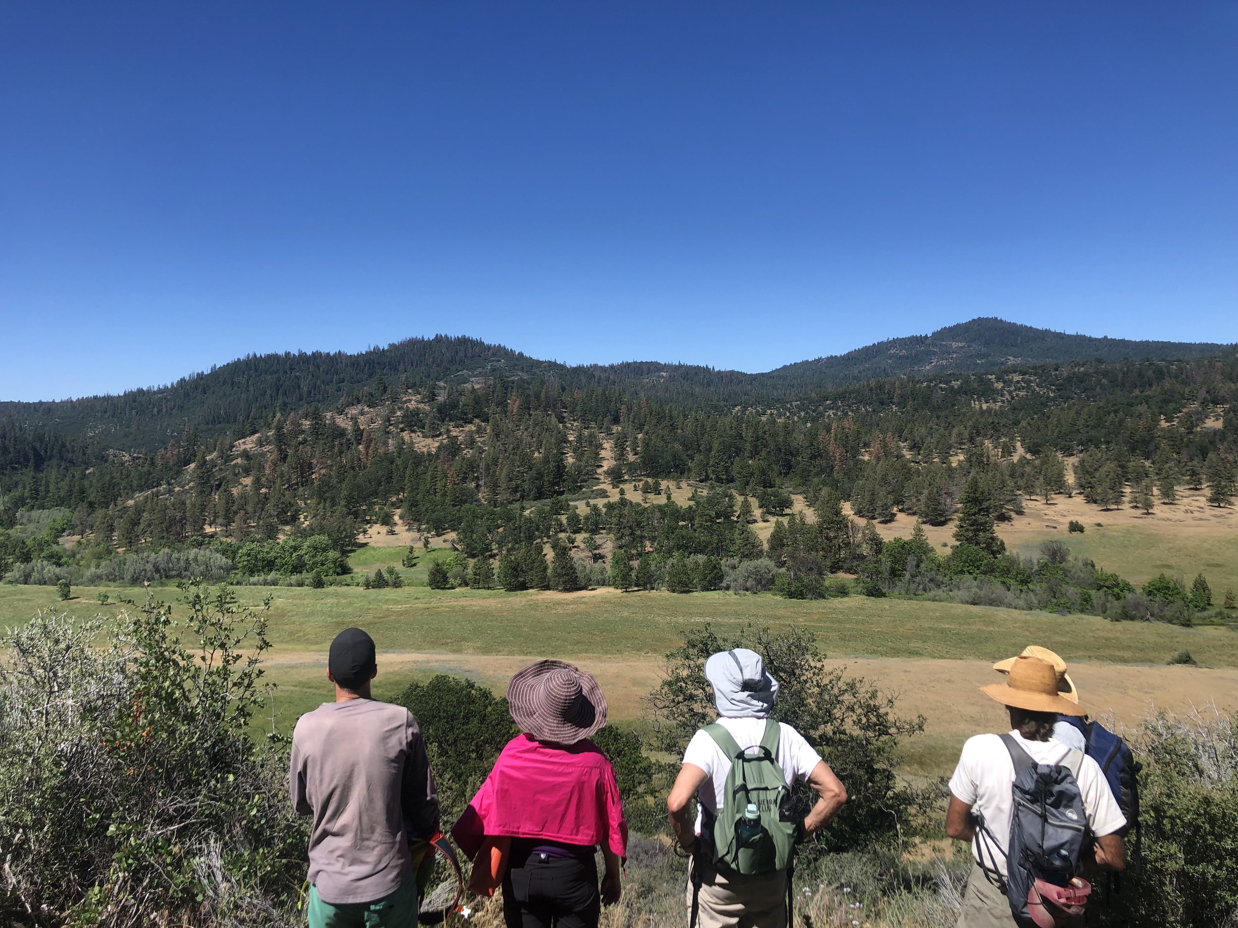
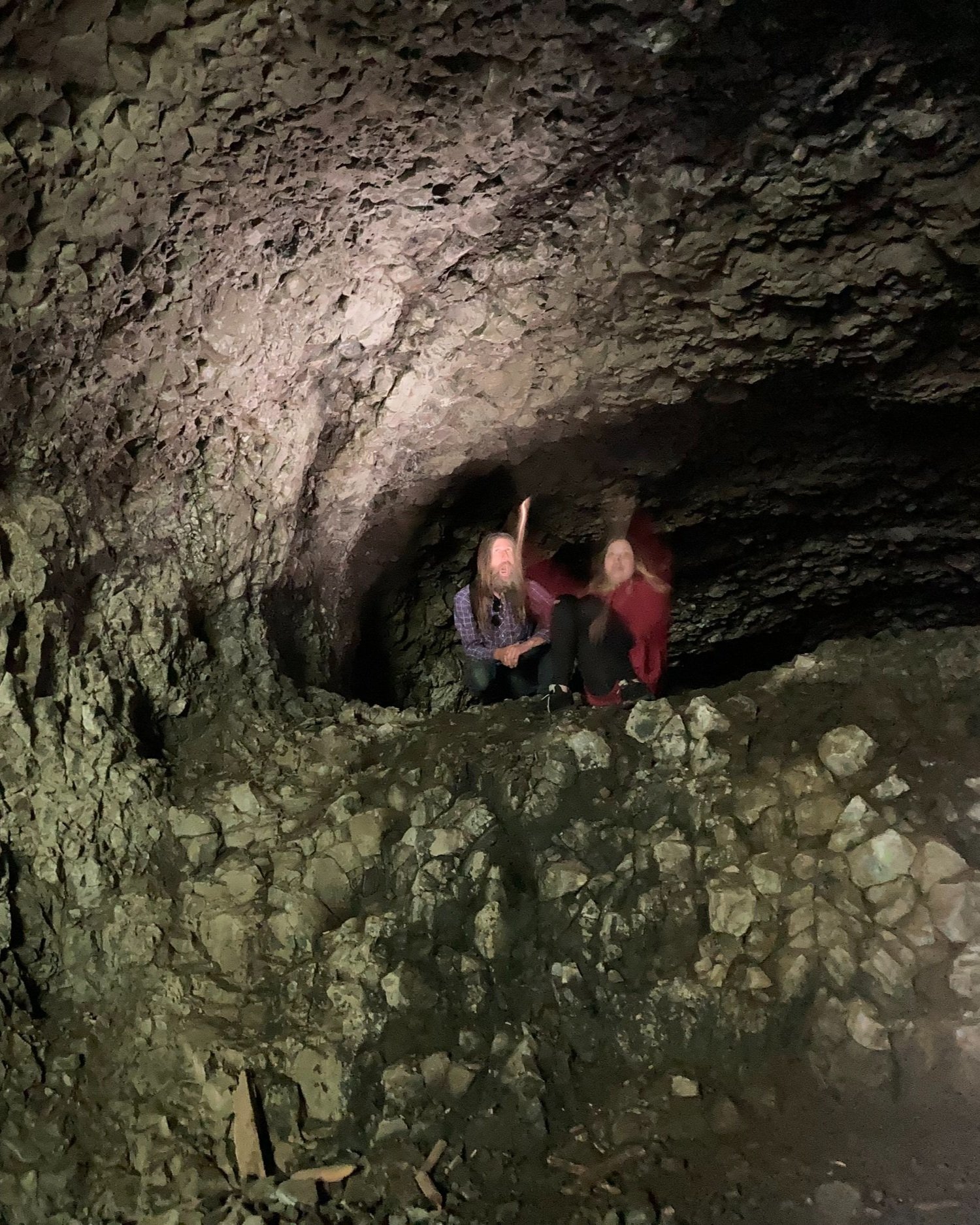
When you explore the Monument, it is easy to get lost in the wildness of it, its soft lines and natural colors a stark departure from the harsh surfaces of our roads and buildings down below. But as we crested the steep trail there was something expected waiting. Its black mouth was like a bullet wound in the mountainside, the darkness so deep that even the beautiful sunny day could not penetrate very far. The raw rock that formed its walls, ceilings, and floors bore the tell-tale mark of human intervention. It was not smoothed out by a millennia of exposure to the elements, but was jagged and textured with many sharp angles. As our group stepped inside this gaping hole, the temperature dropped and the air became clammy as it swallowed each person. 

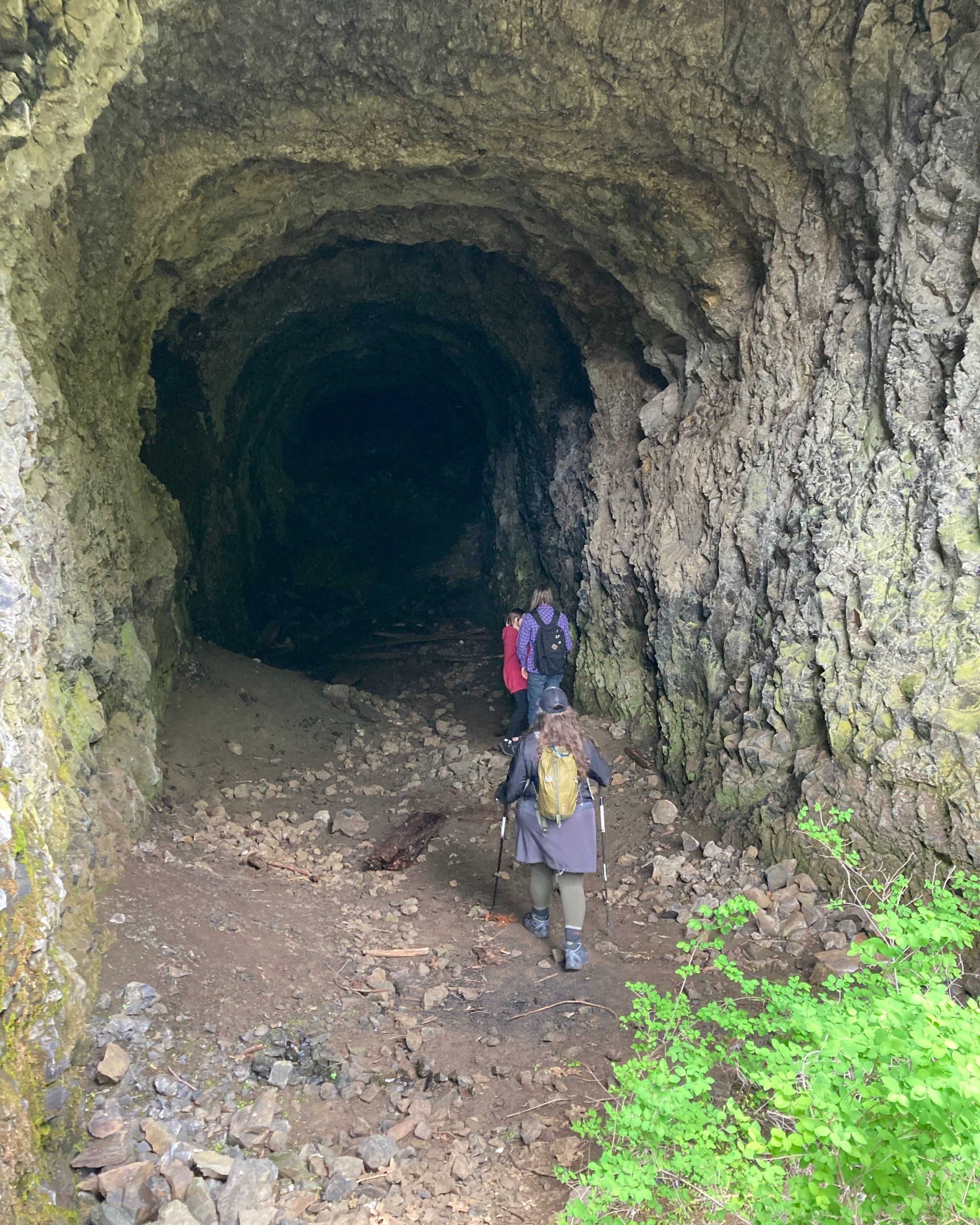
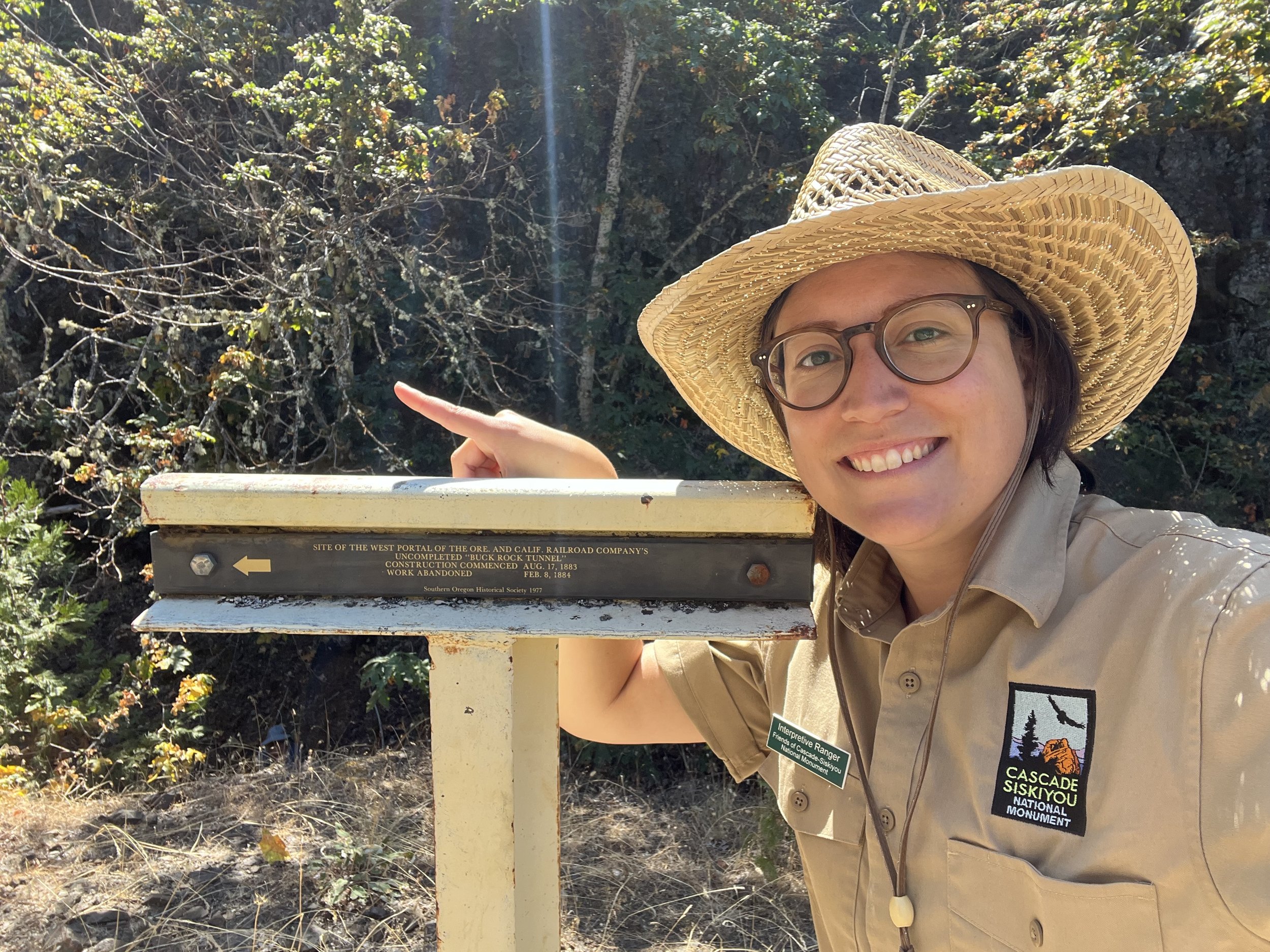
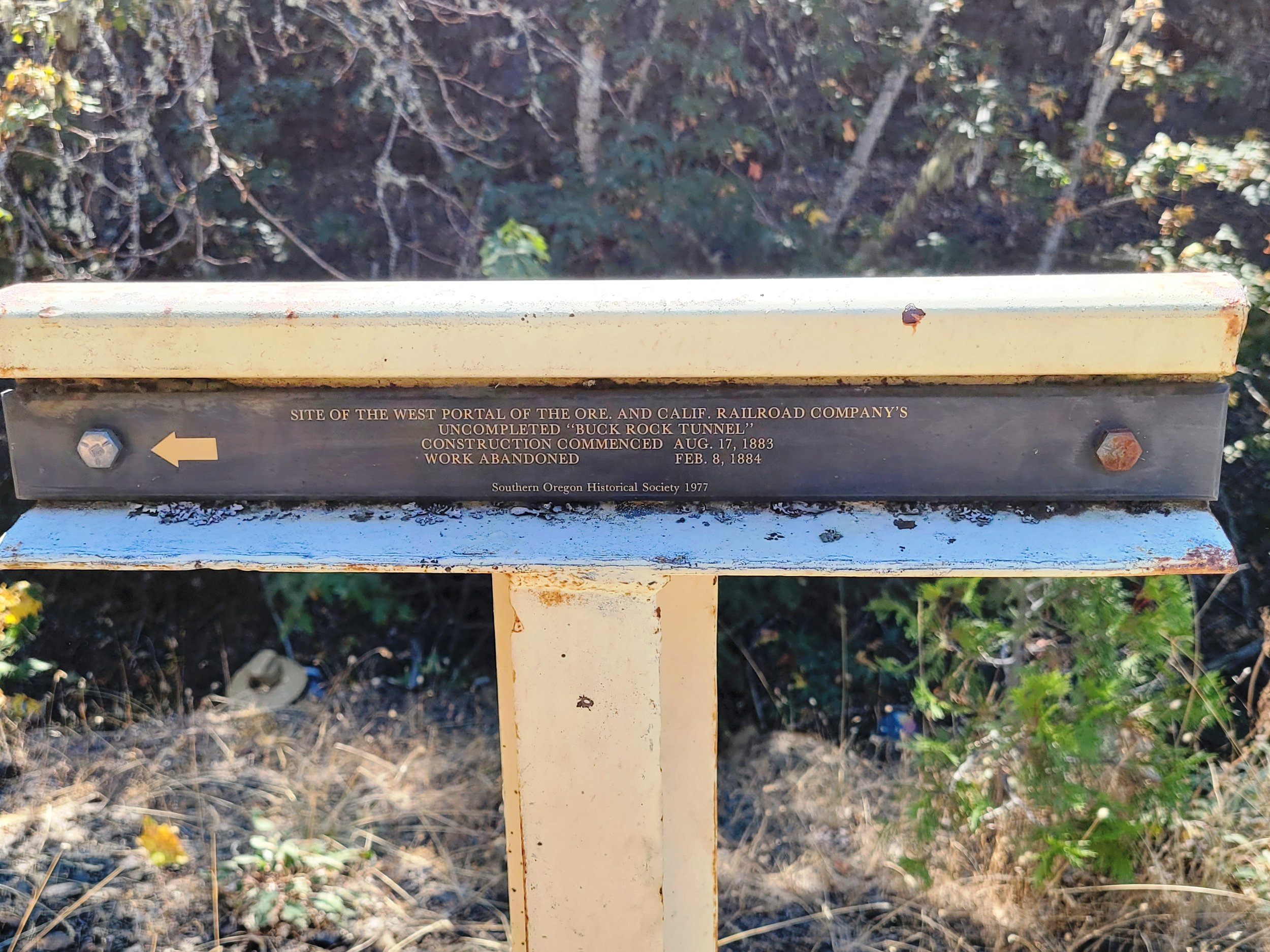
While I had read about Buck Rock Tunnel, it wasn’t until I stepped inside that I was able to truly appreciate the scope and scale of its undertaking. It was originally intended to be a part of the Oregon & California (O & C) Railroad when construction began on August 17, 1883 and serve to help join Portland and the lines of the Southern Pacific Railroad in California. However, it was never completed when construction was halted on February 8, 1884 when the railroad company ran out of funds. While the proposed rail line never did come to be, its unfinished nature presents an interesting window into the engineering and construction of tunnels in the late 1800s. Yet perhaps most fascinating is what it can tell us about the people who worked on it, primarily Chinese laborers. 

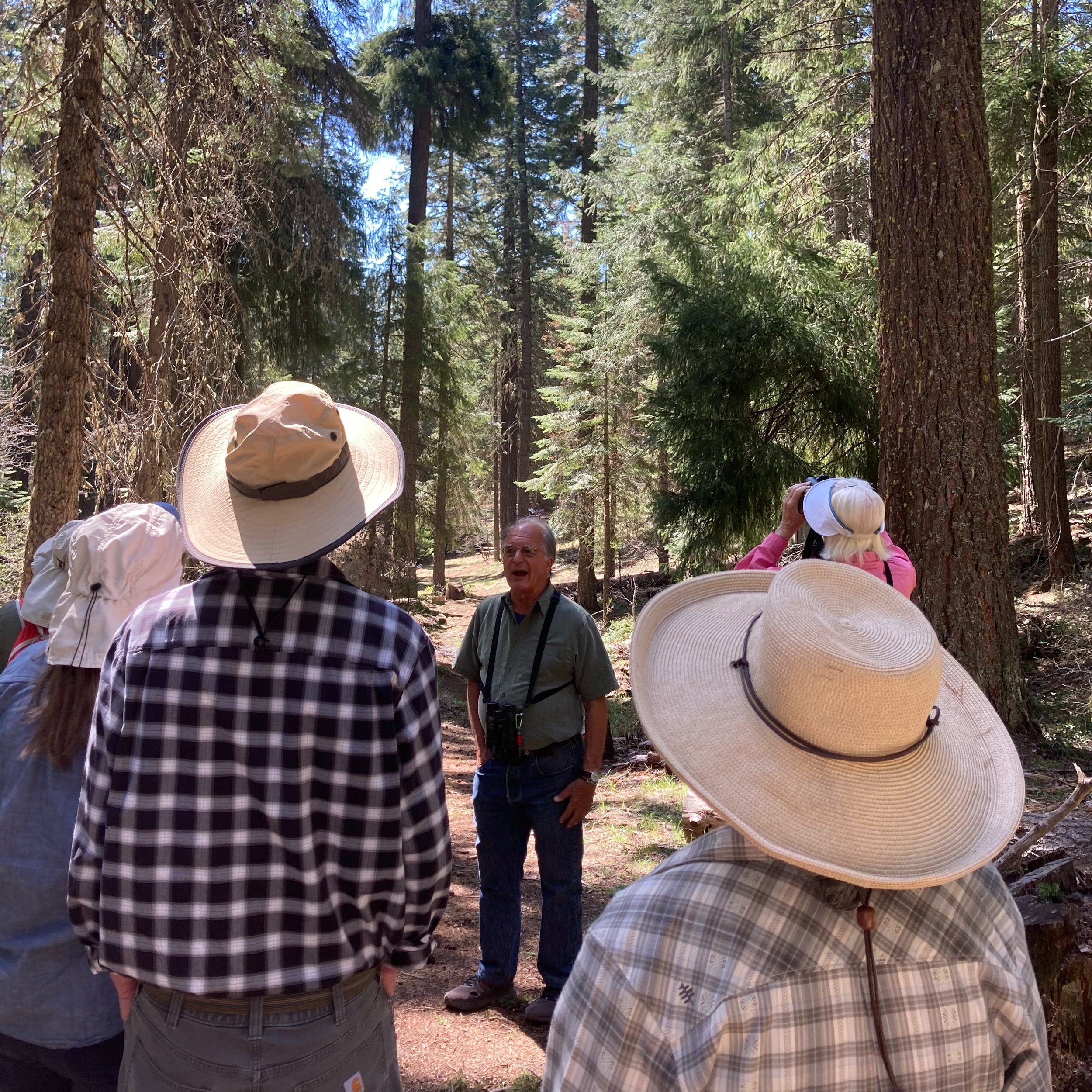
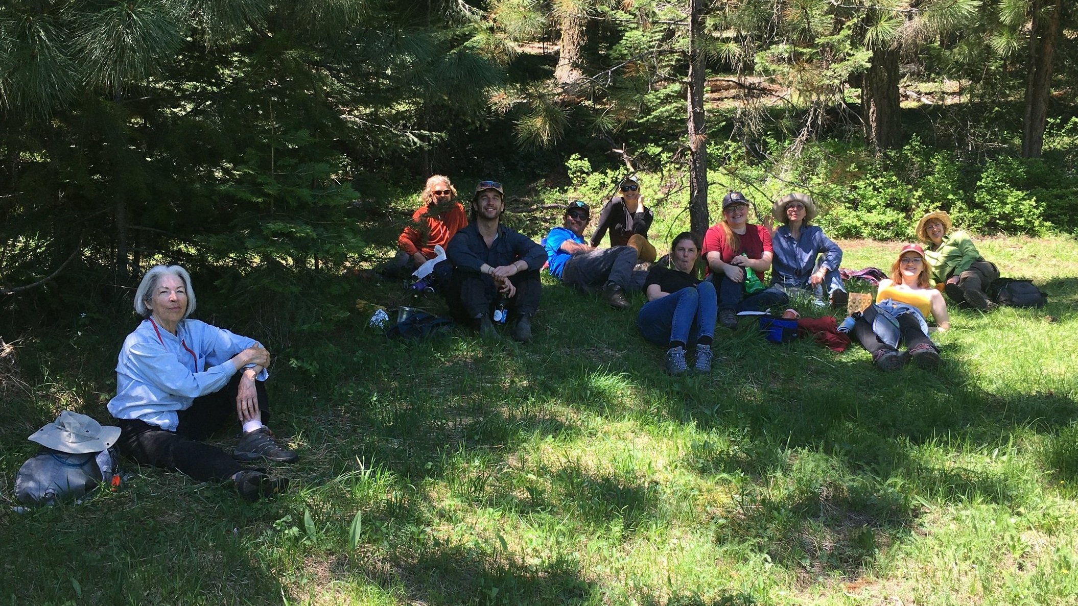
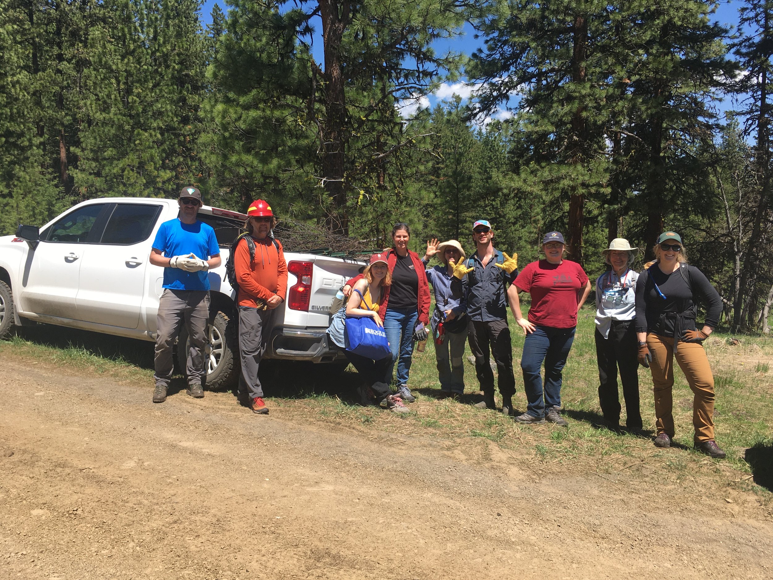
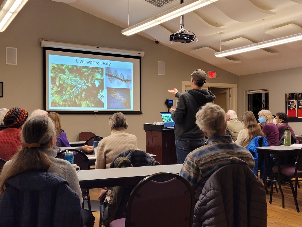
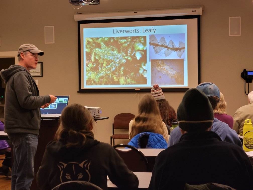
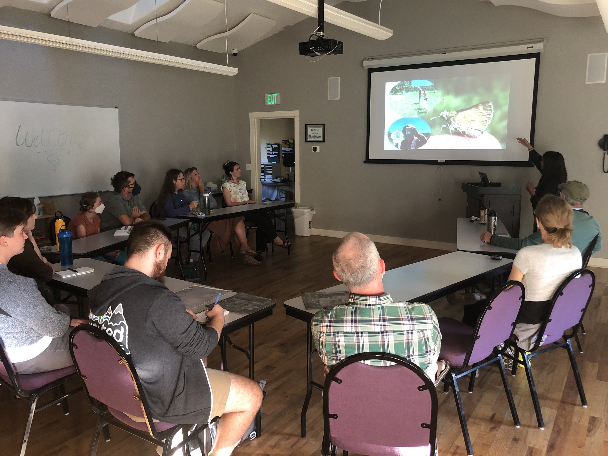
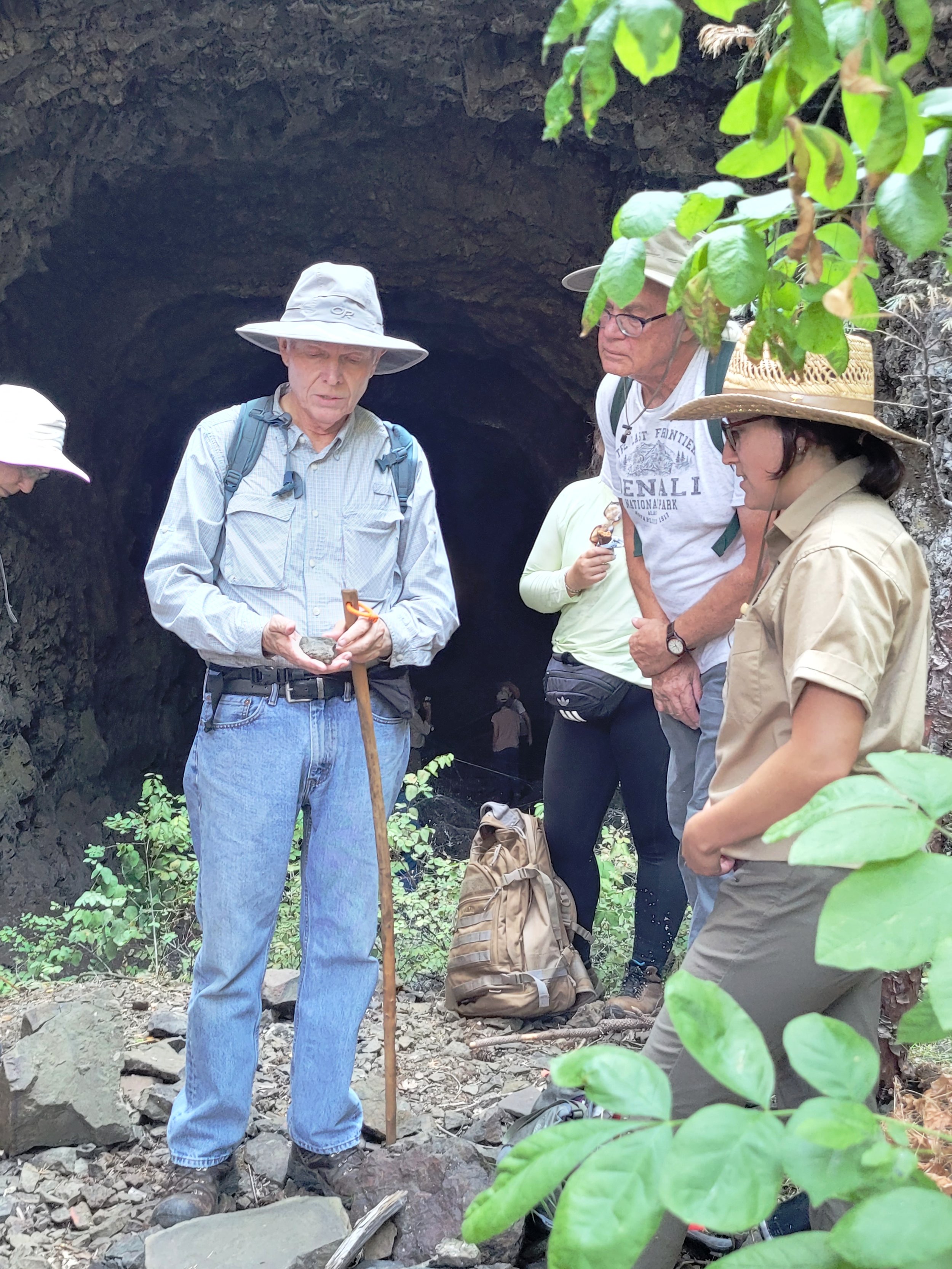
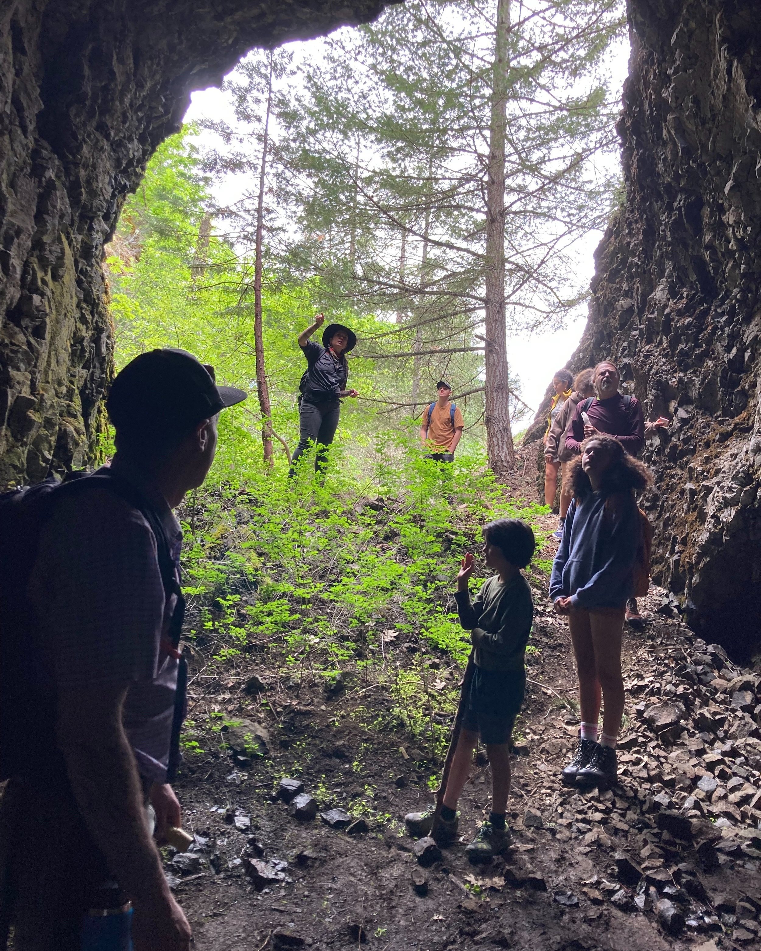
That was the focus of the Buck Rock Archaeological Tours hosted by Southern Oregon University Laboratory of Anthropology (SOULA) and the Bureau of Land Management (BLM) archaeologists. Called the Buck Rock Tunnel Project, it is a collaboration between the Medford District BLM and SOULA and operates as an extension of the larger Oregon Chinese Diaspora Project. 

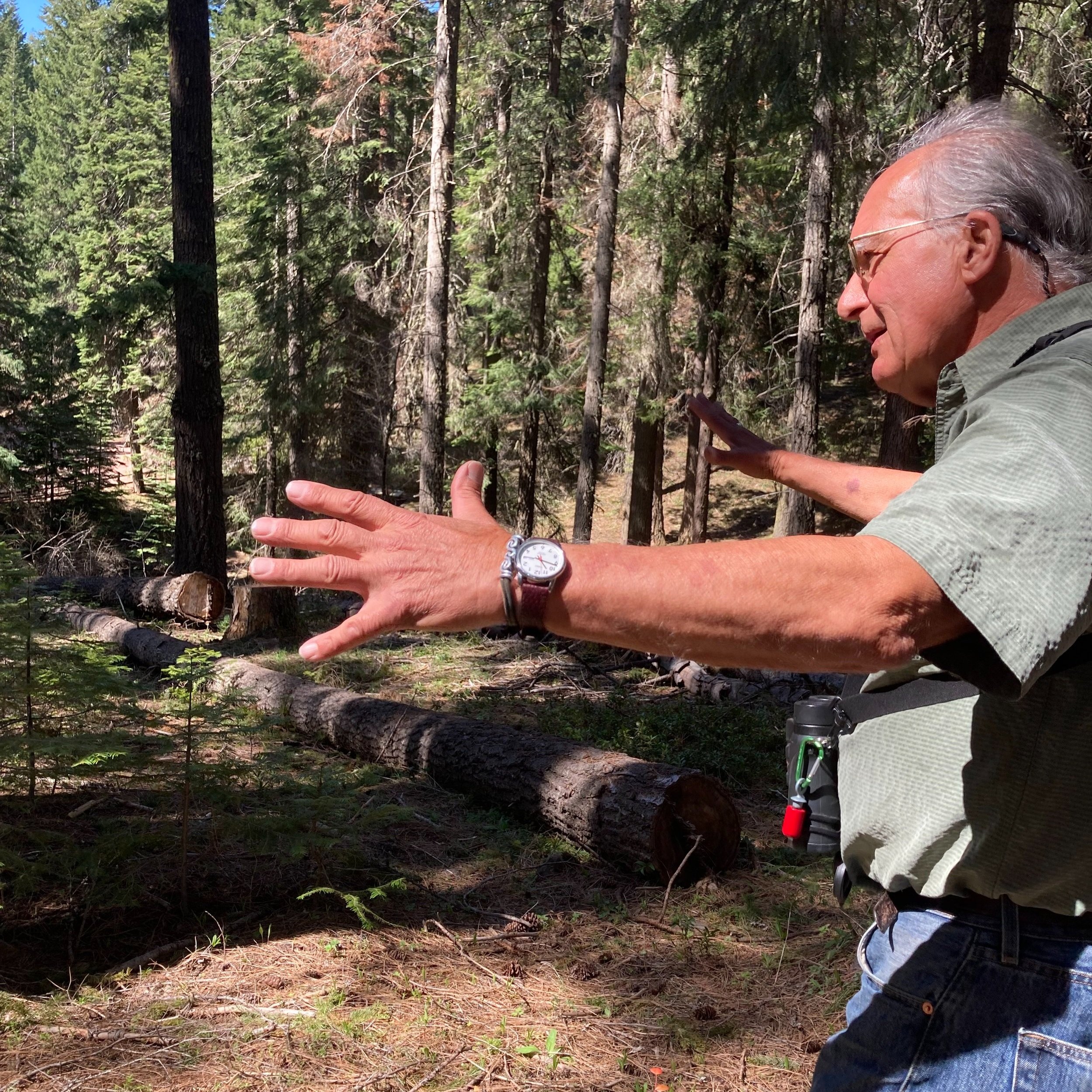
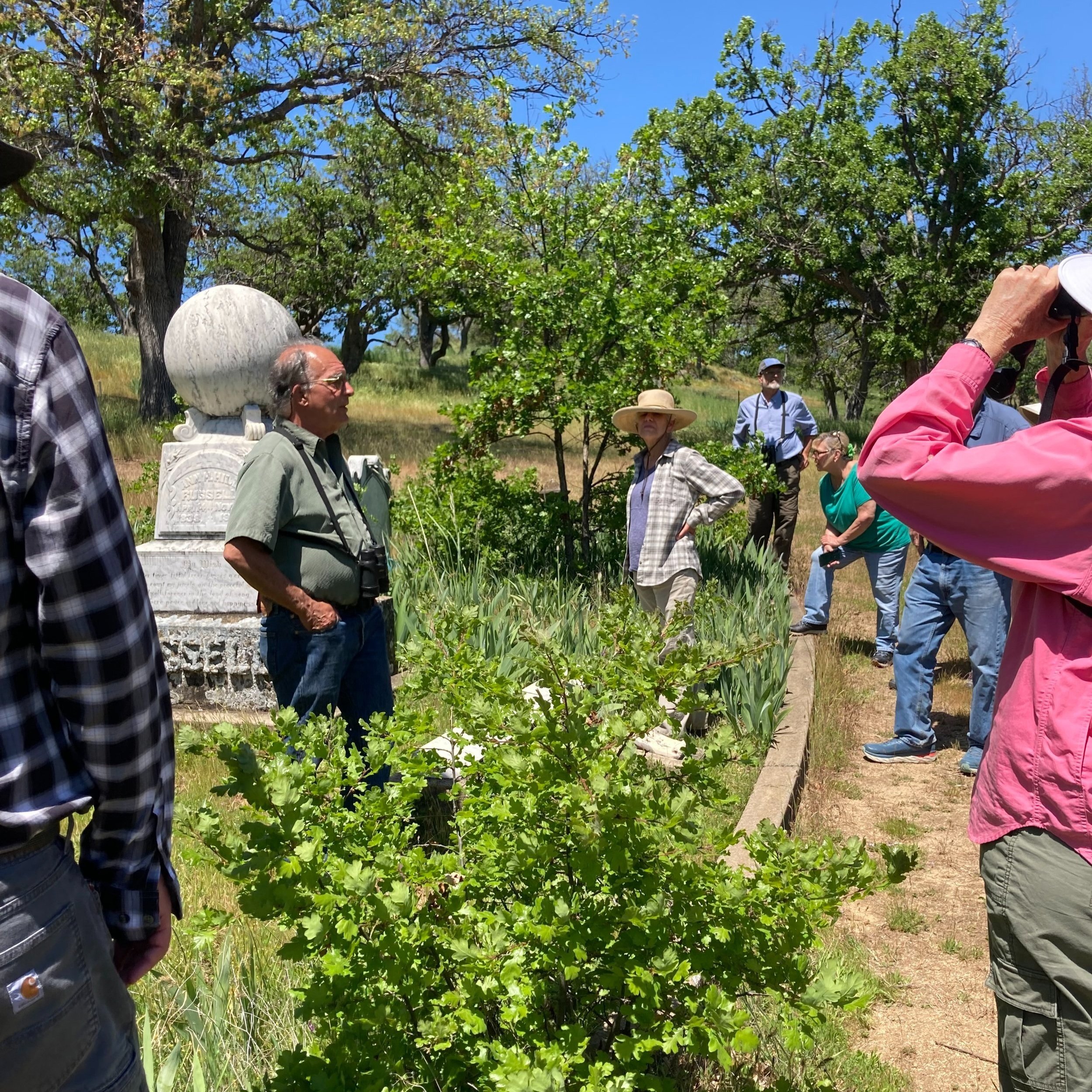
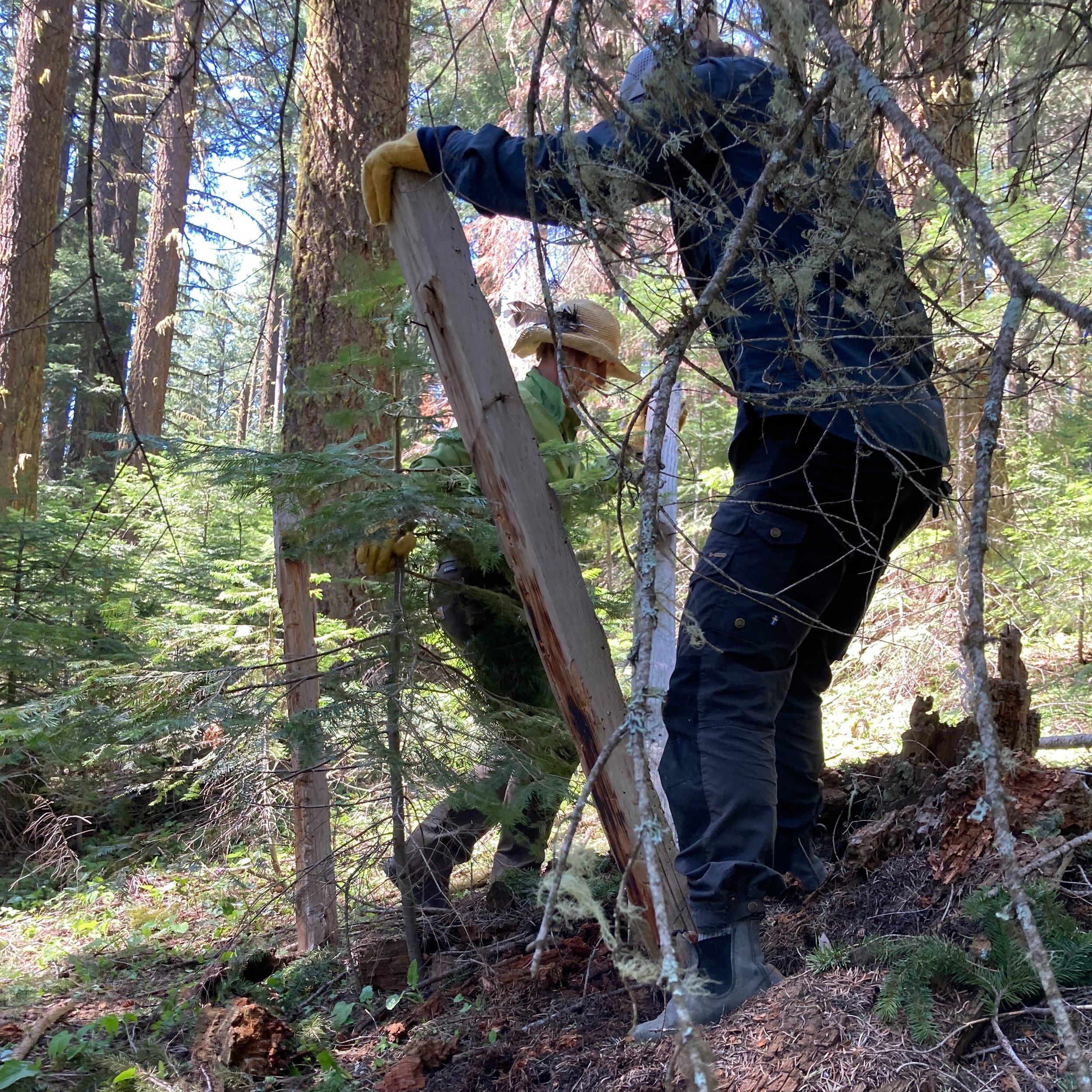
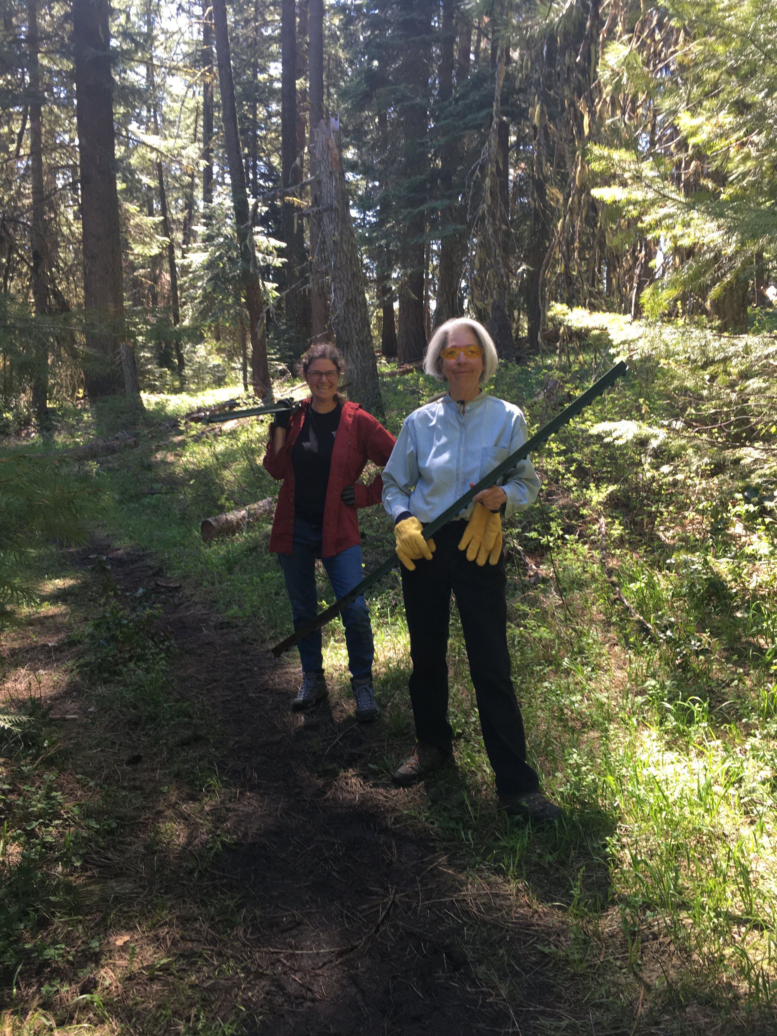
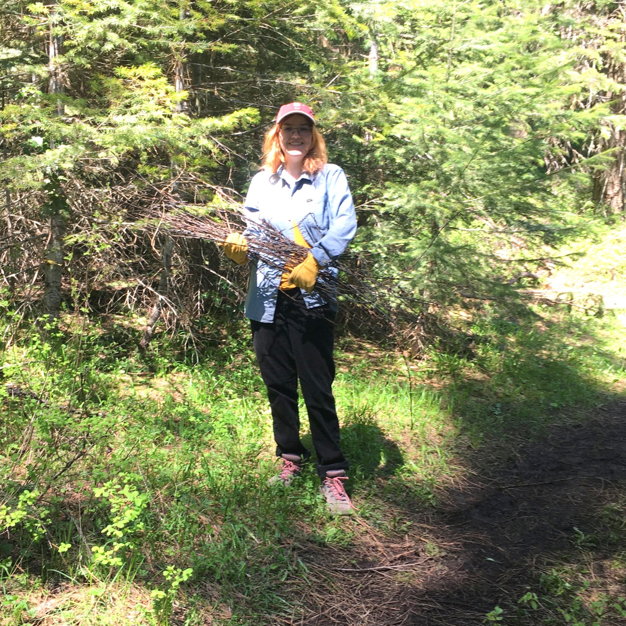
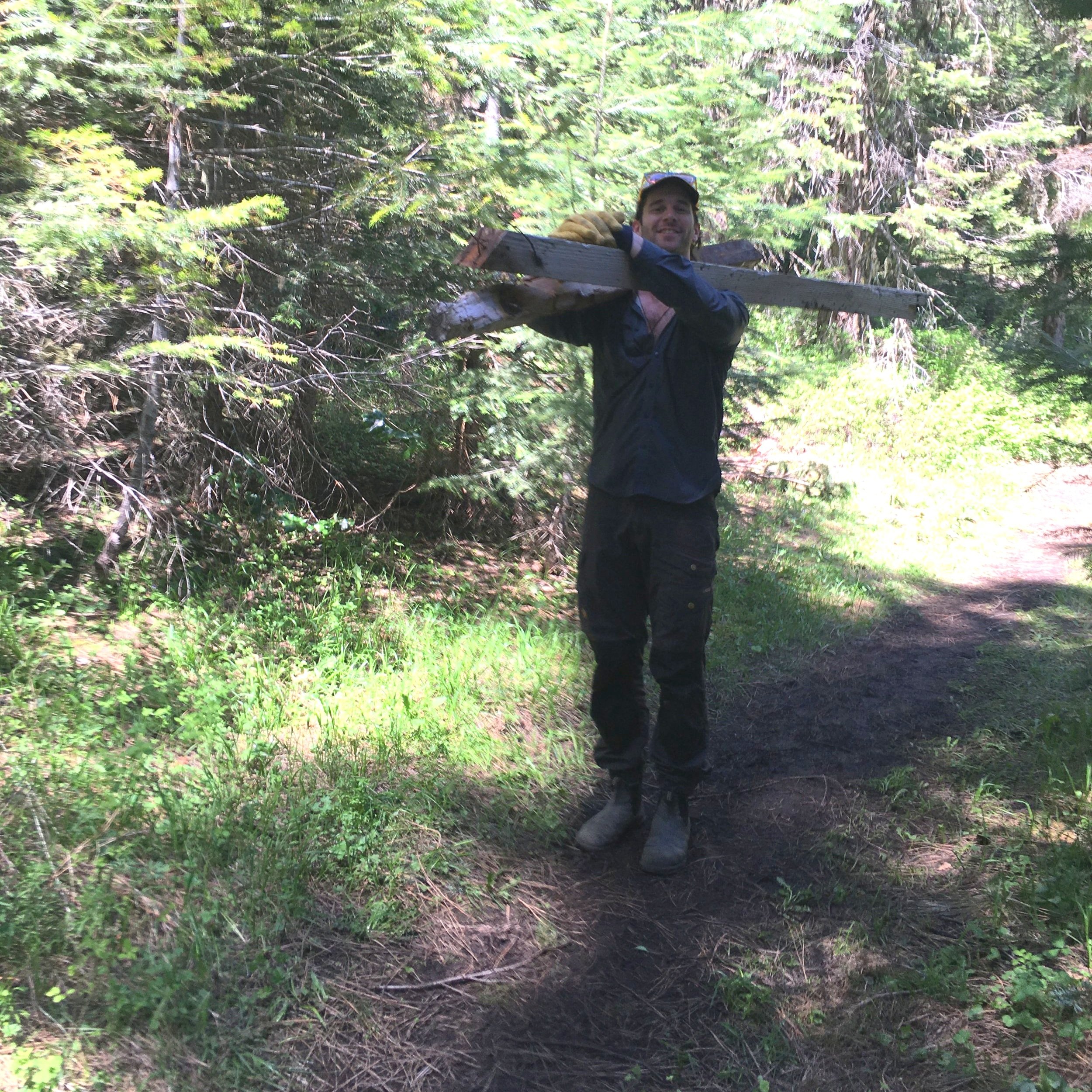
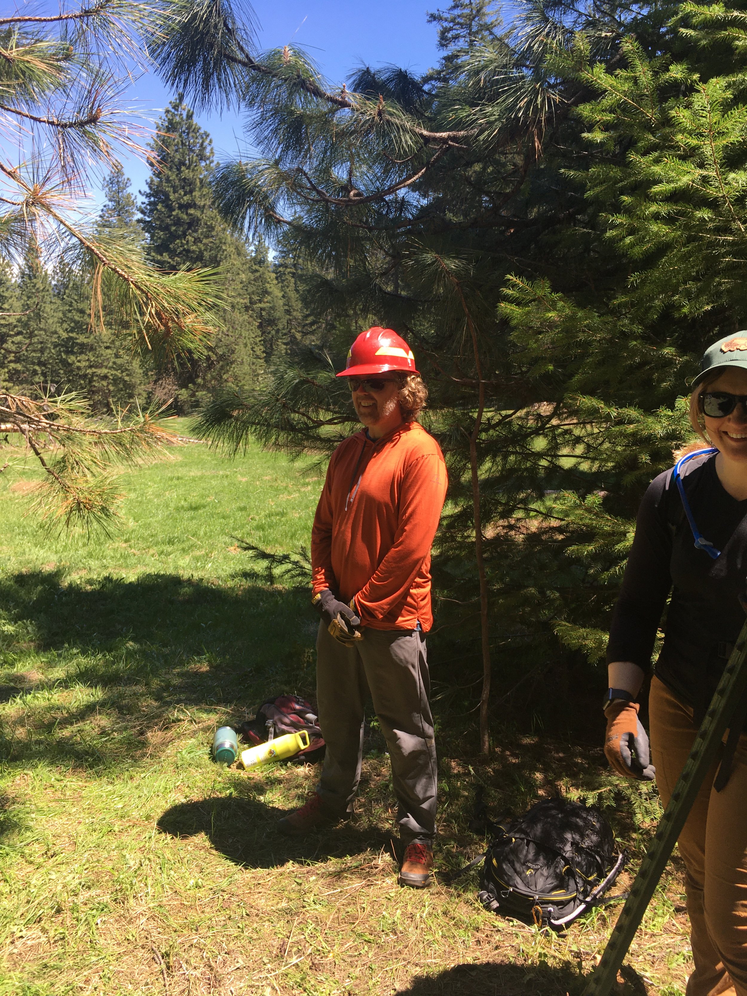
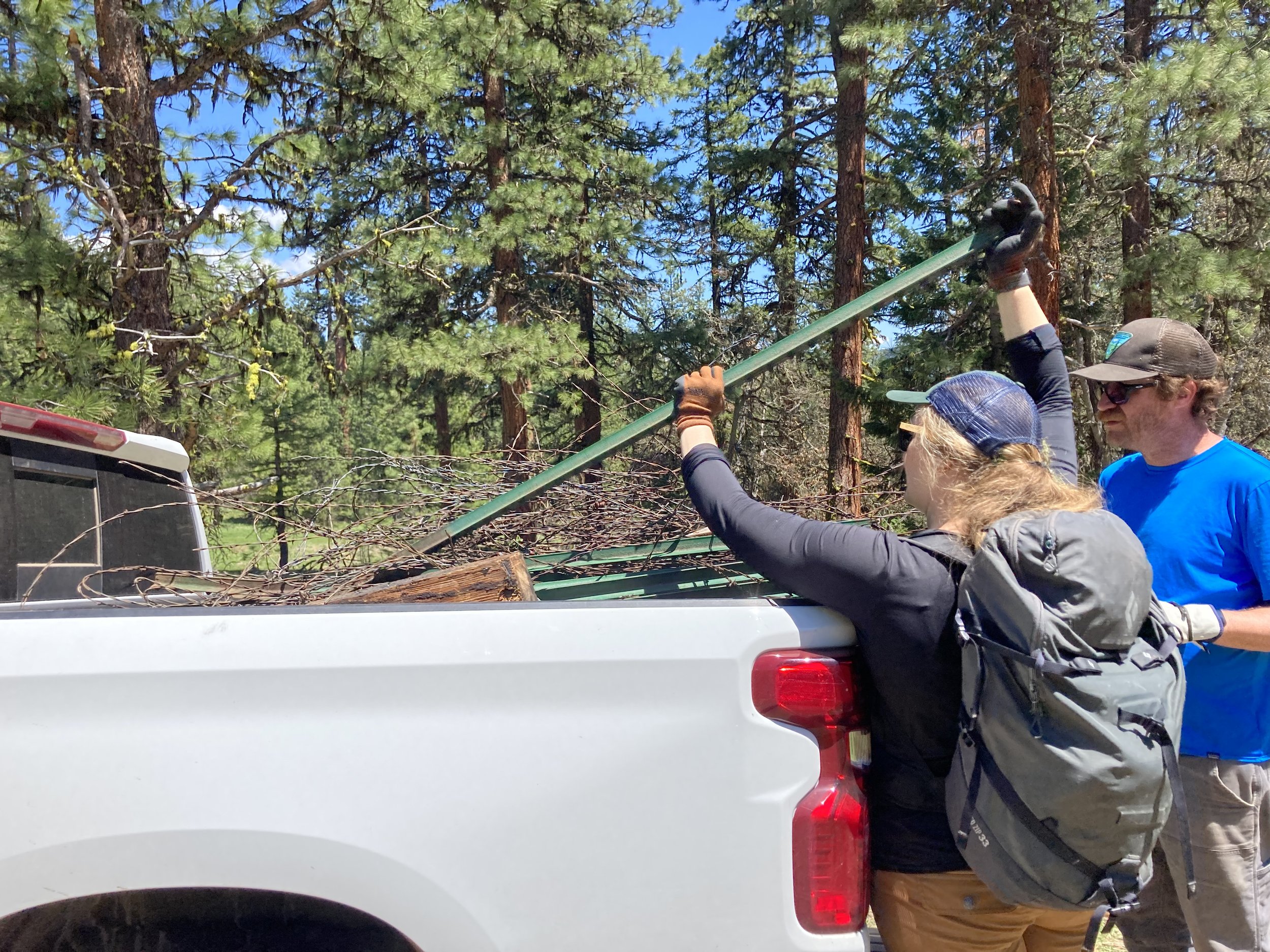
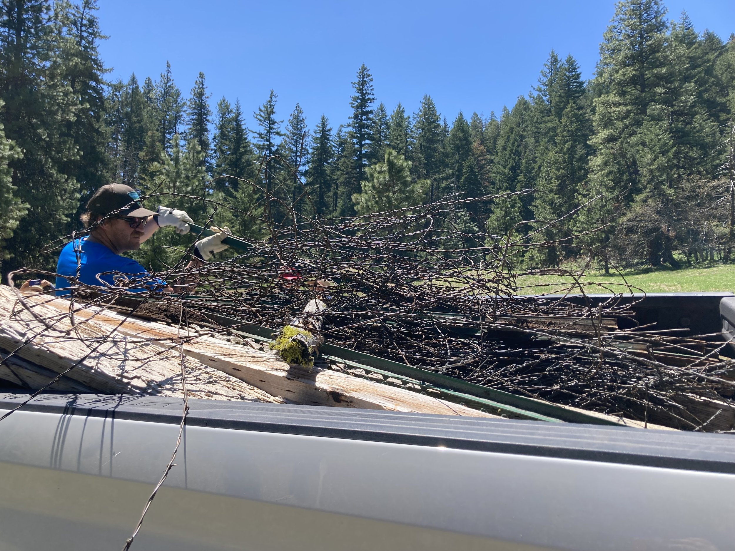
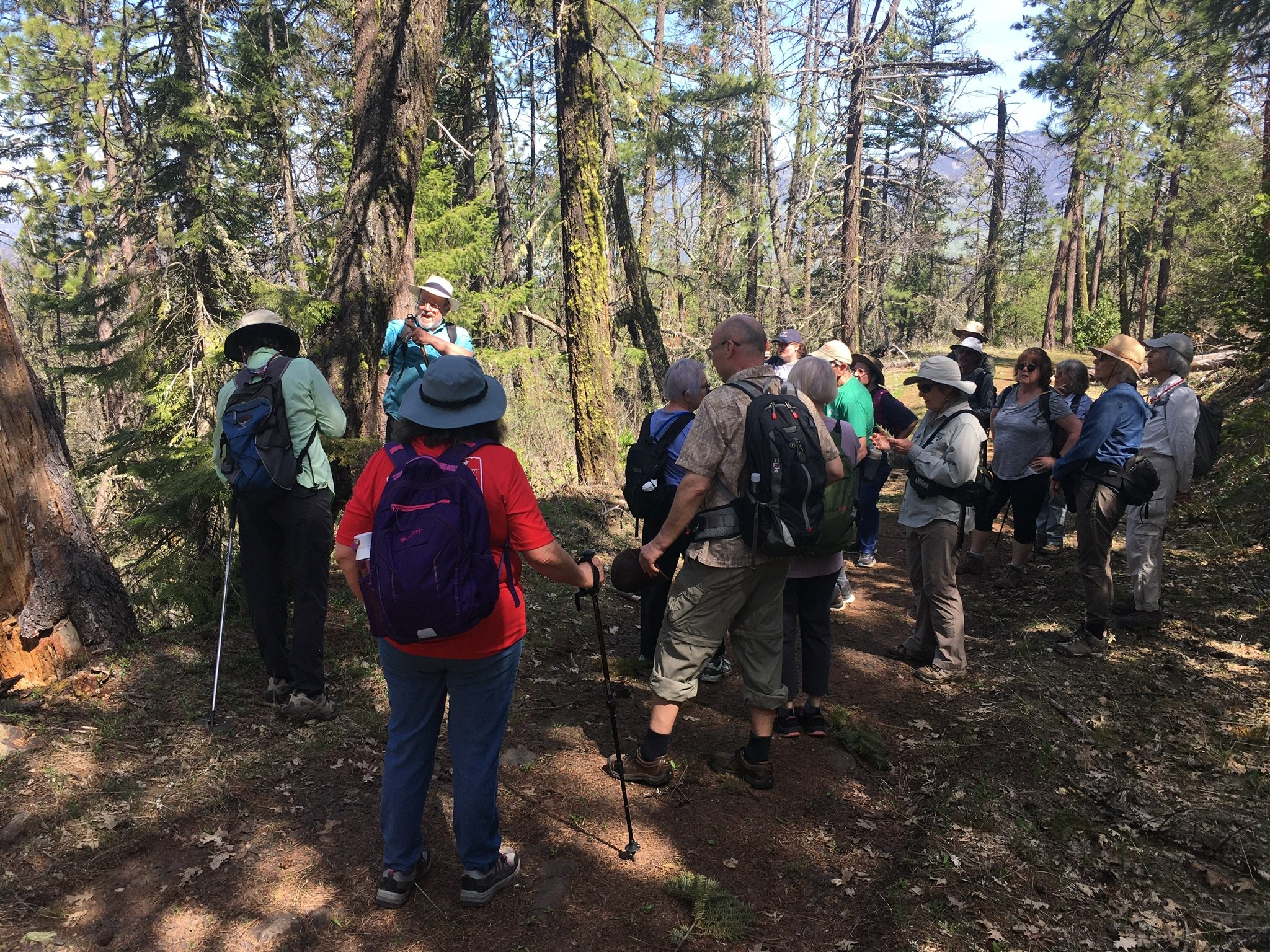
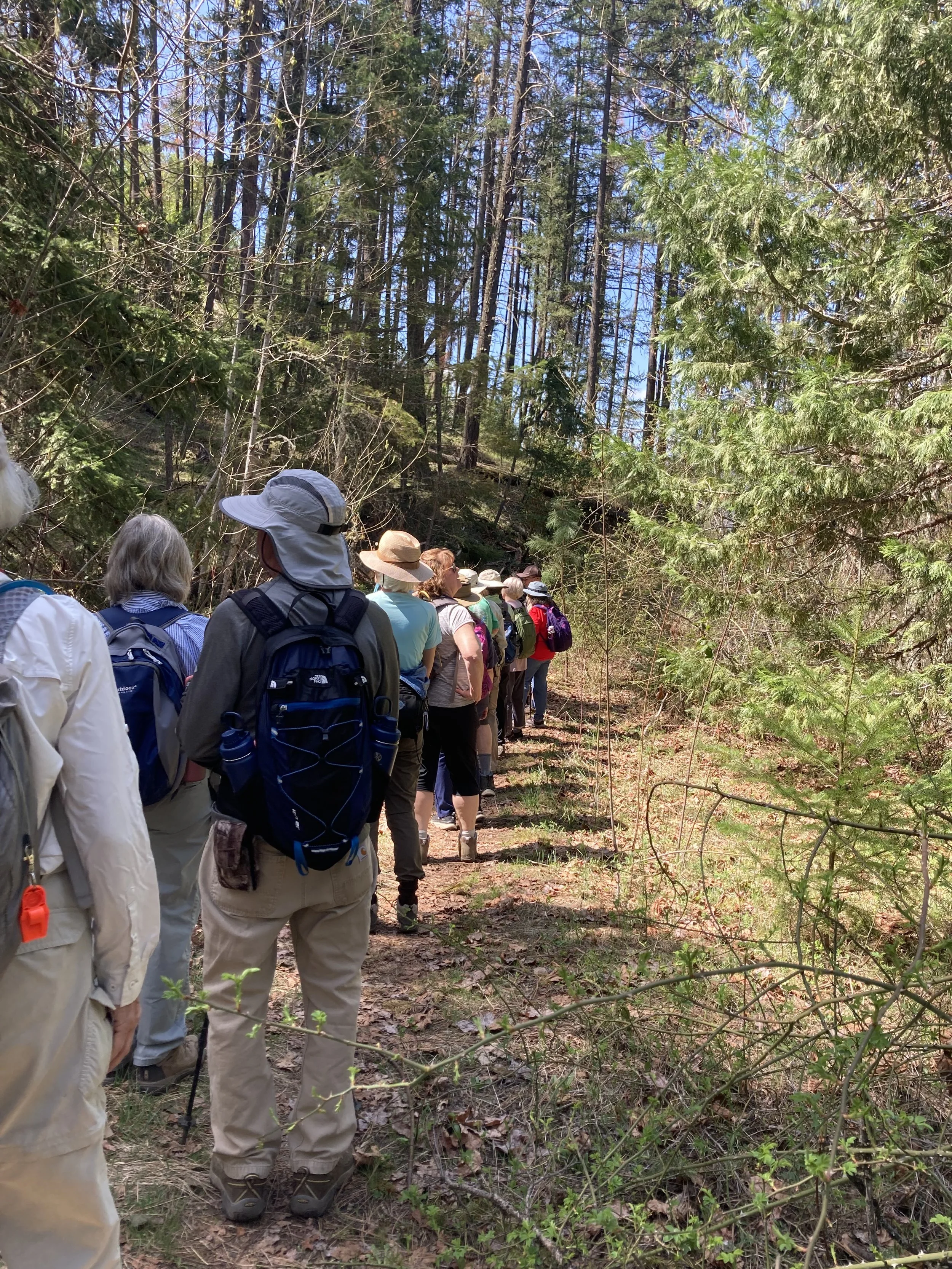
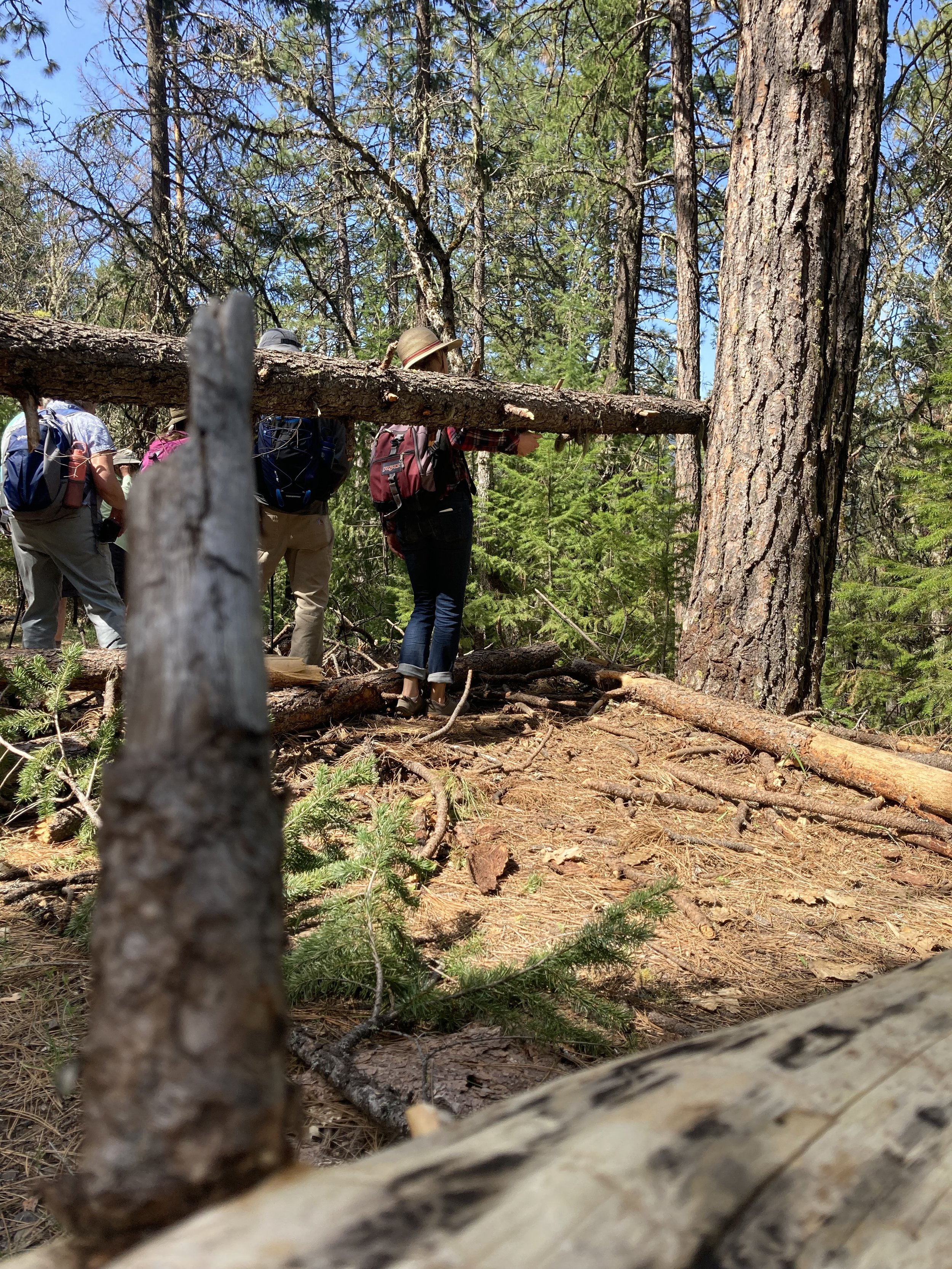
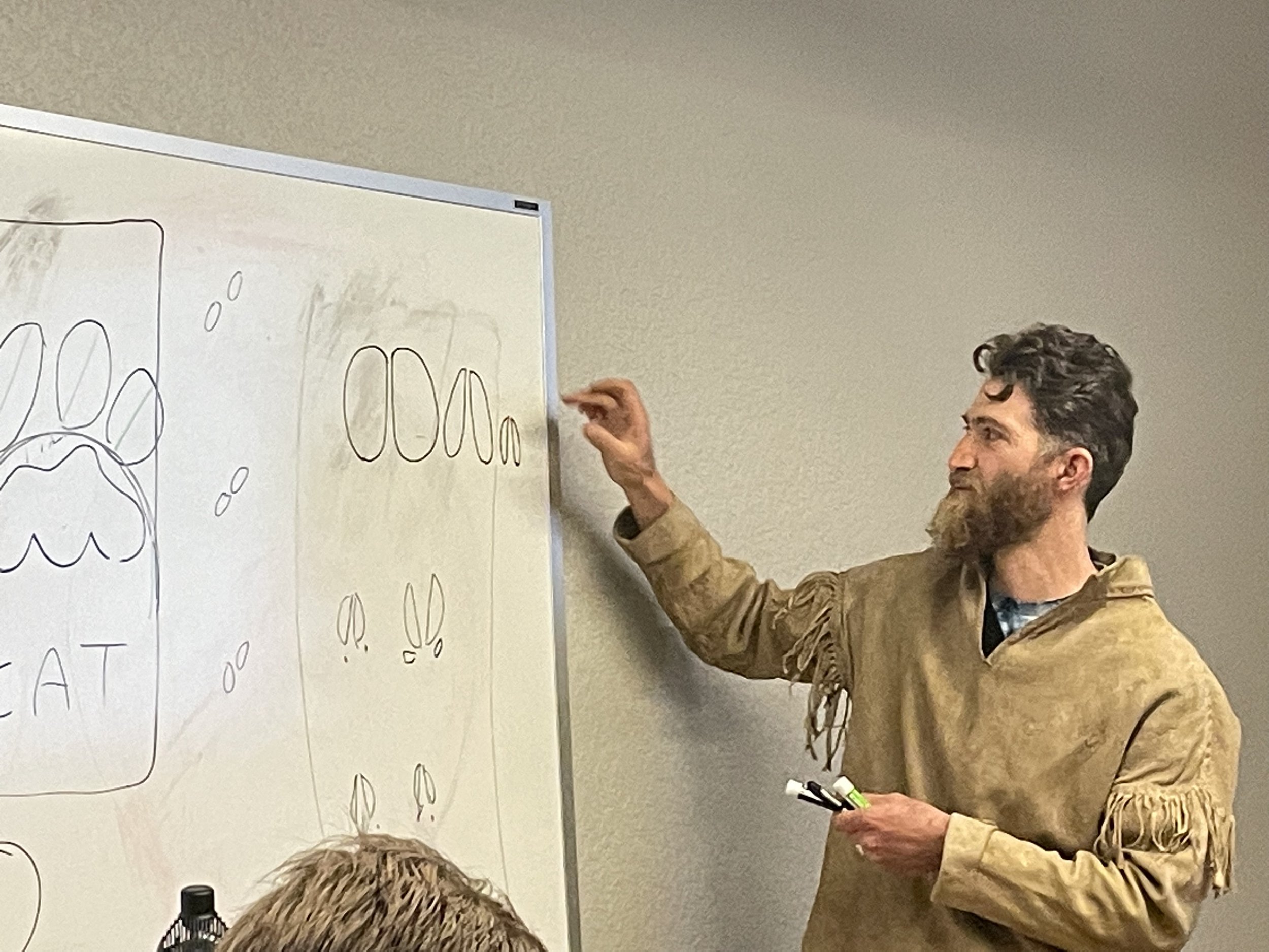
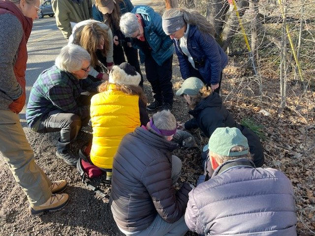
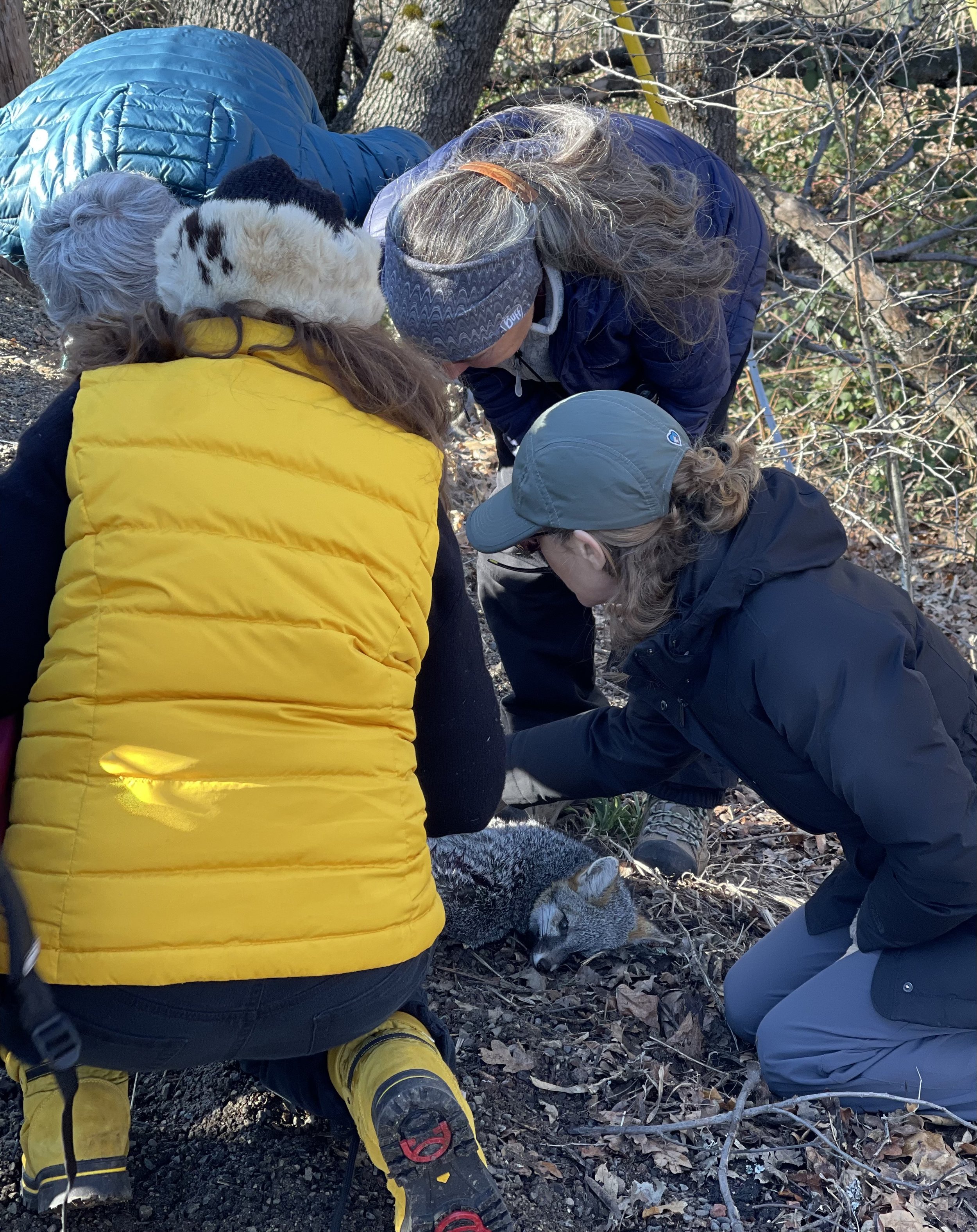
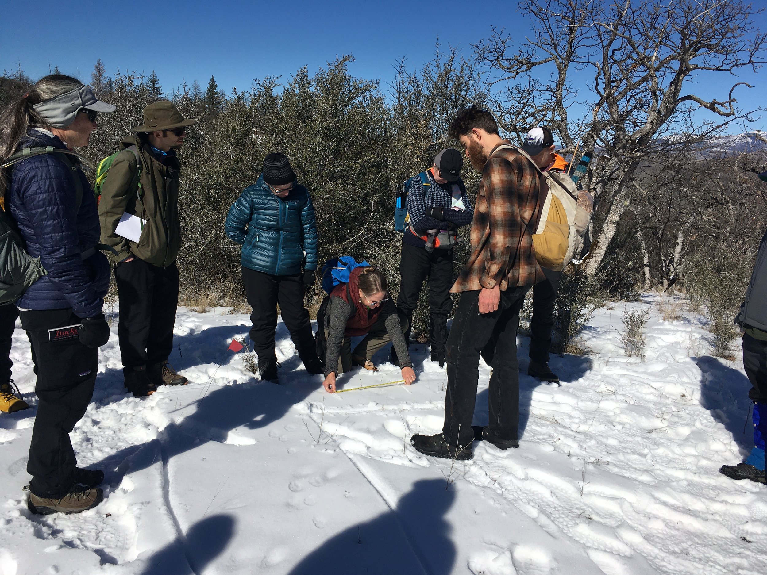
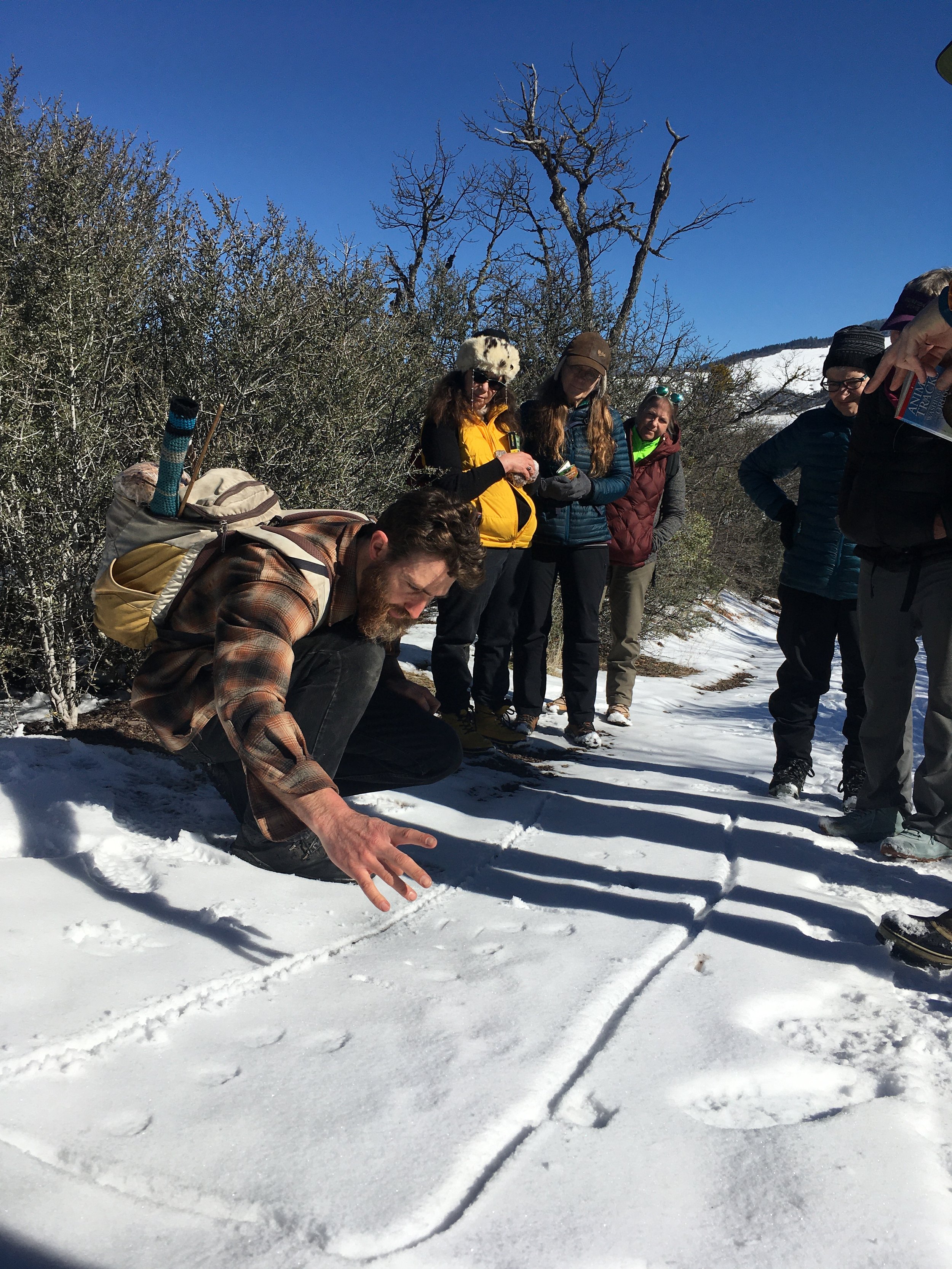
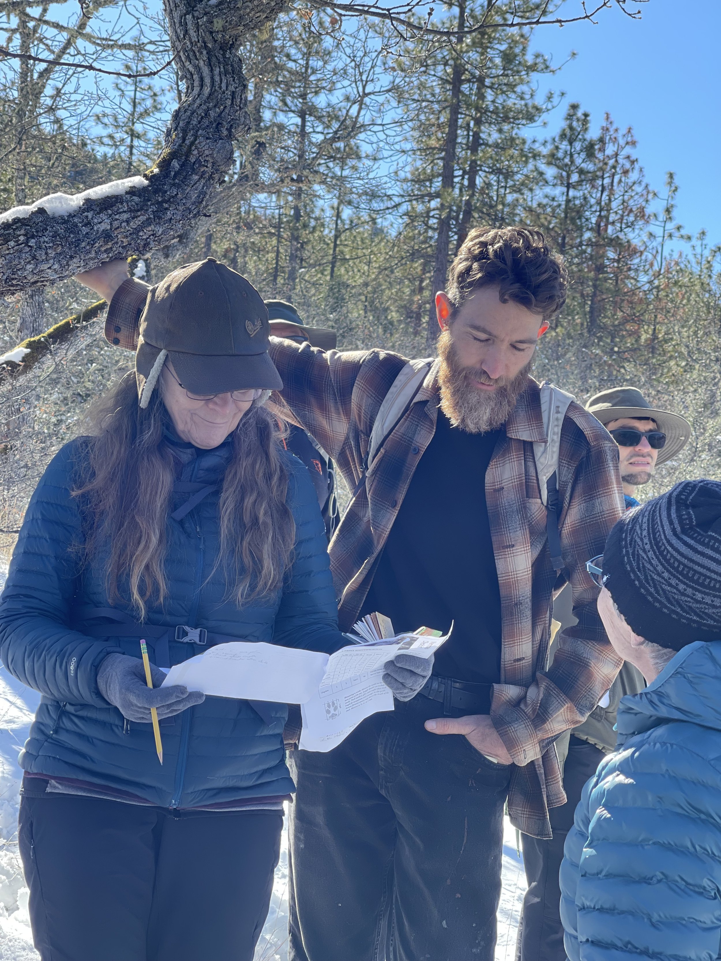
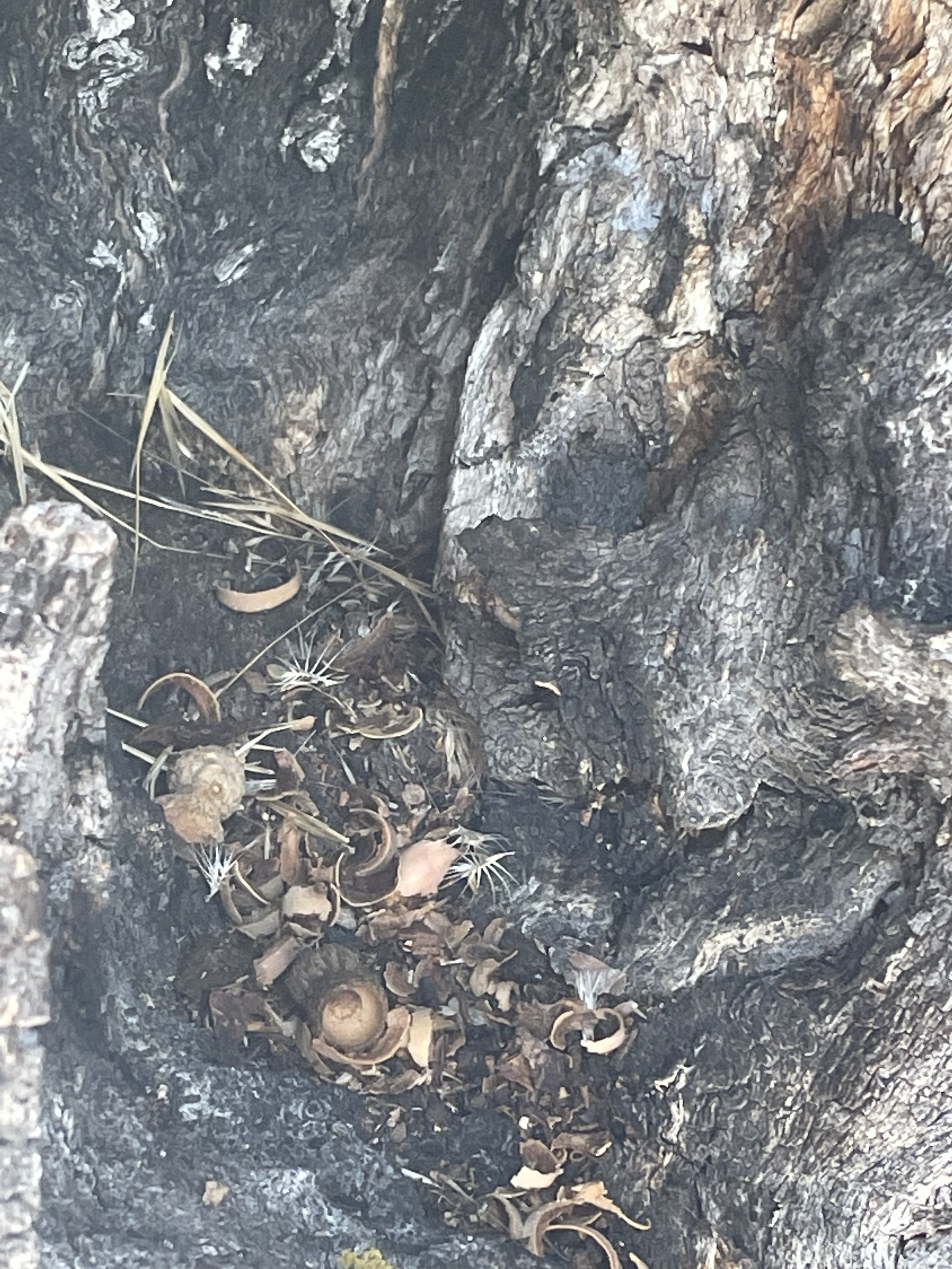
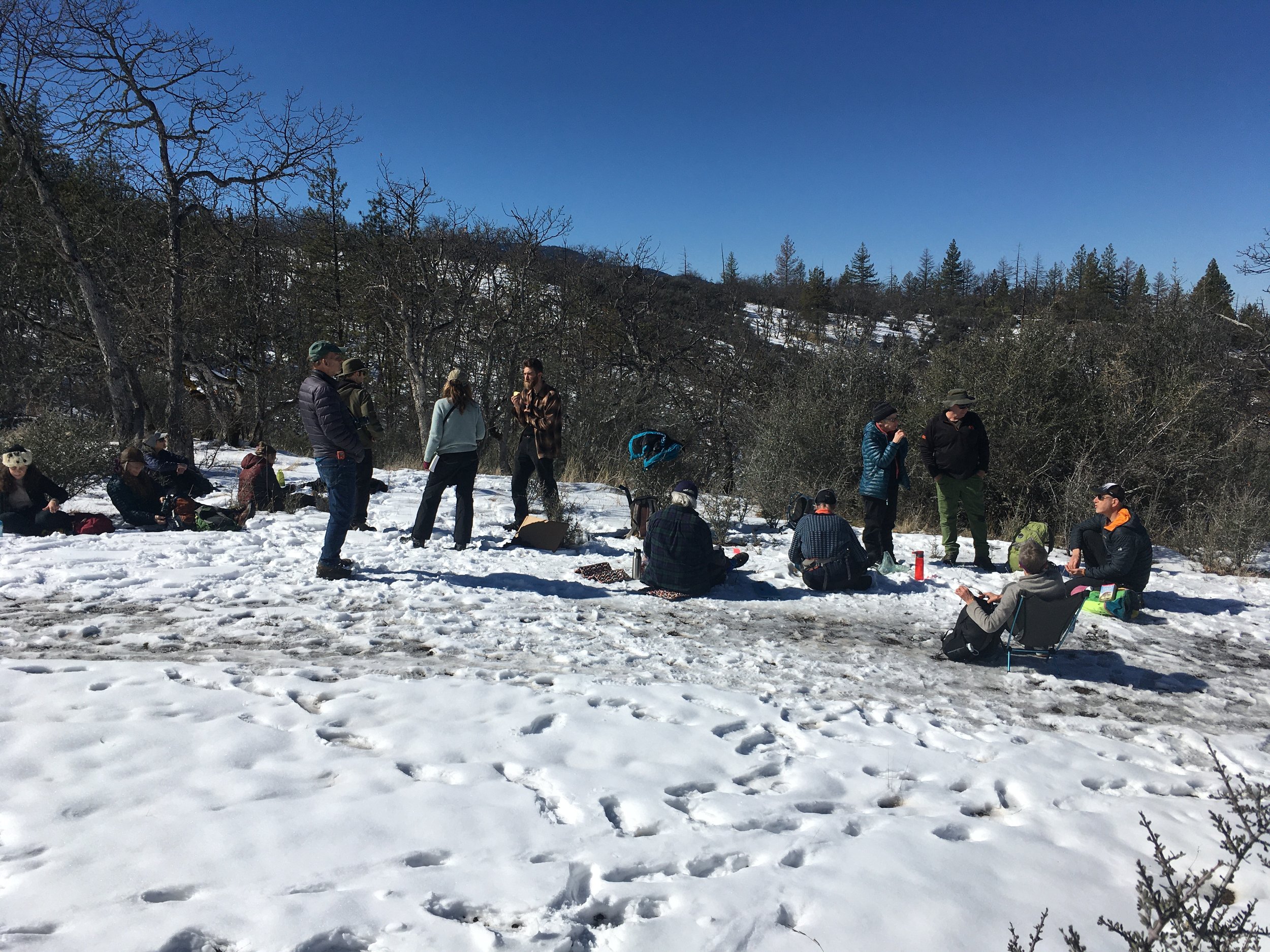
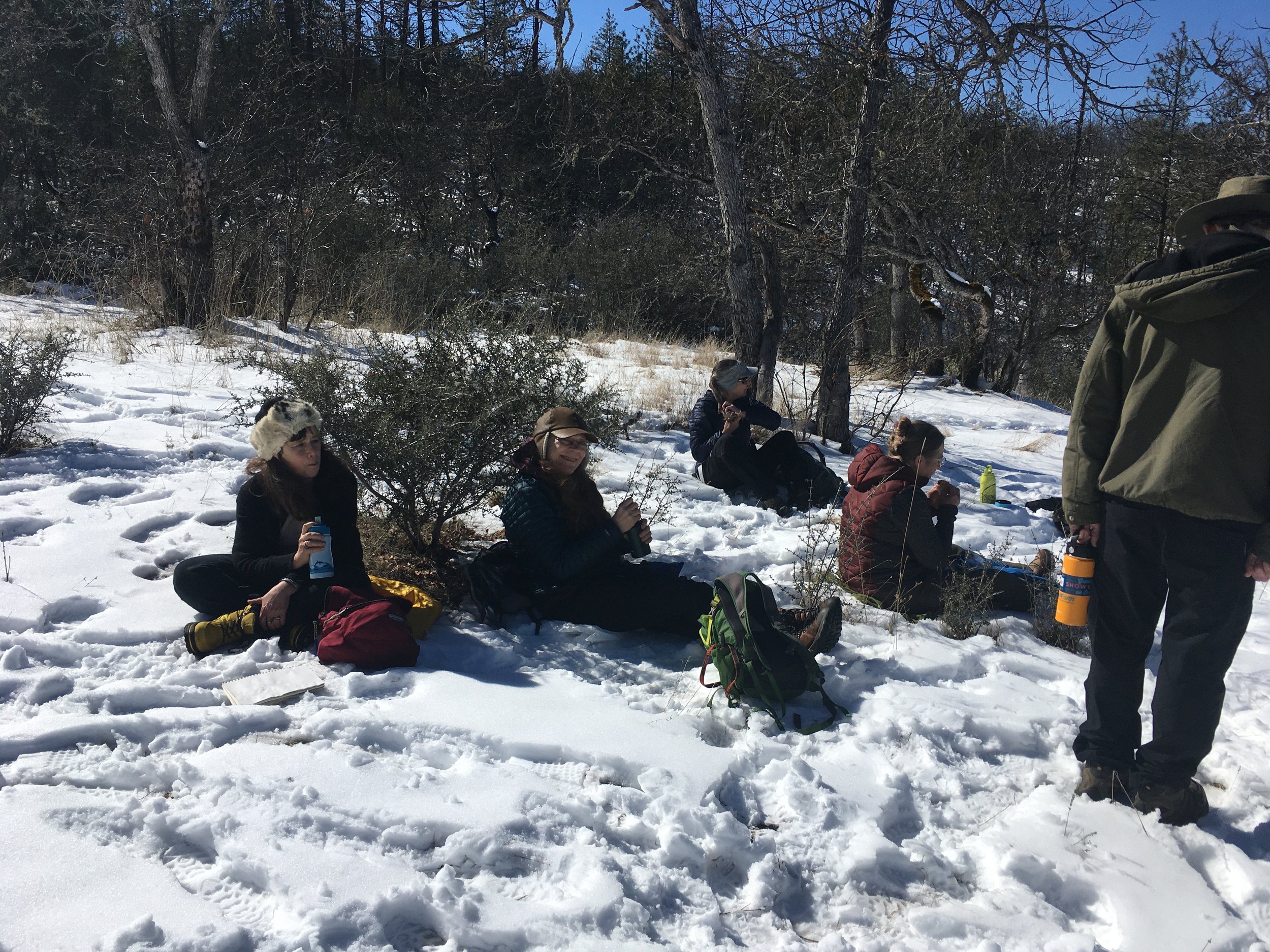
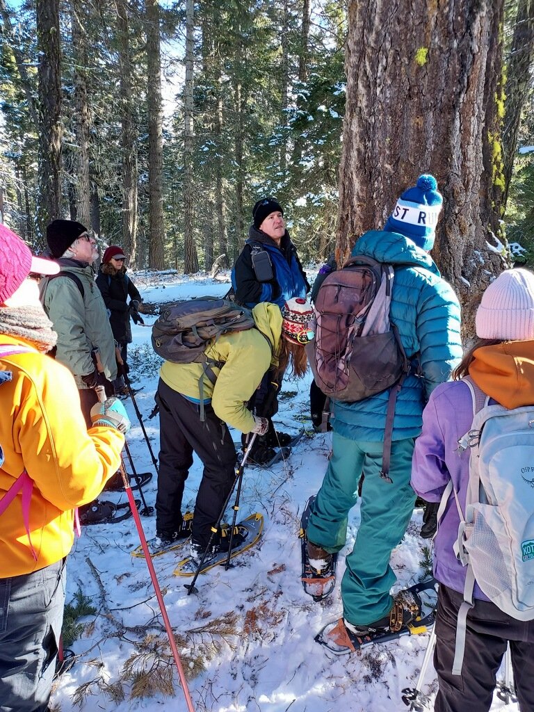
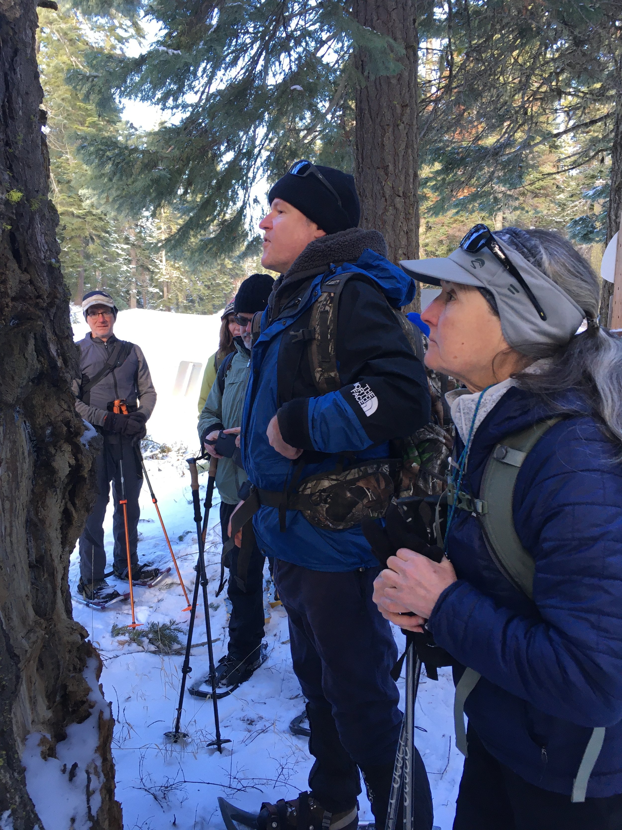
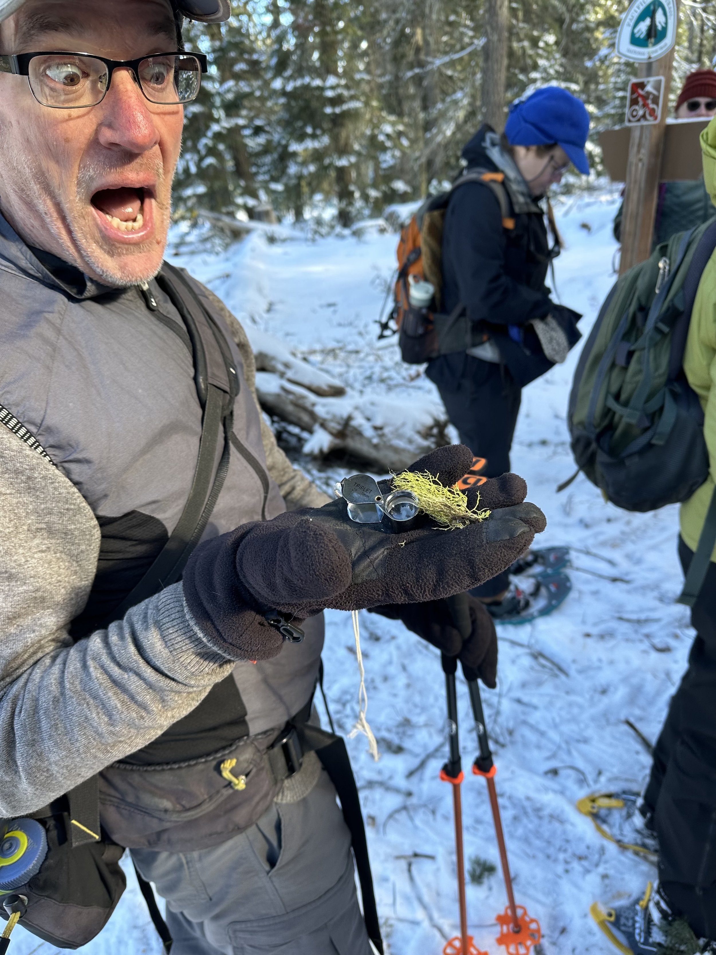
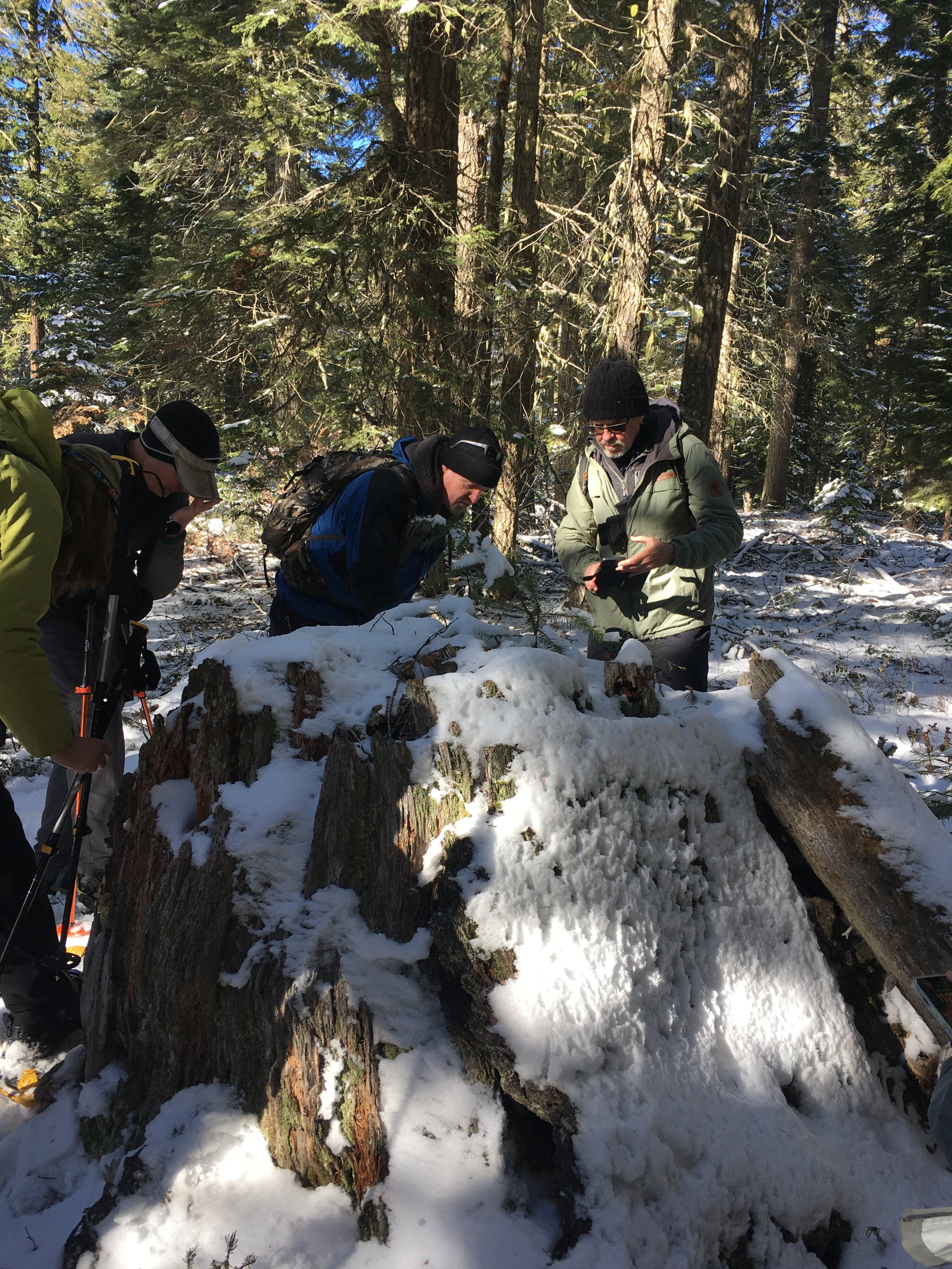
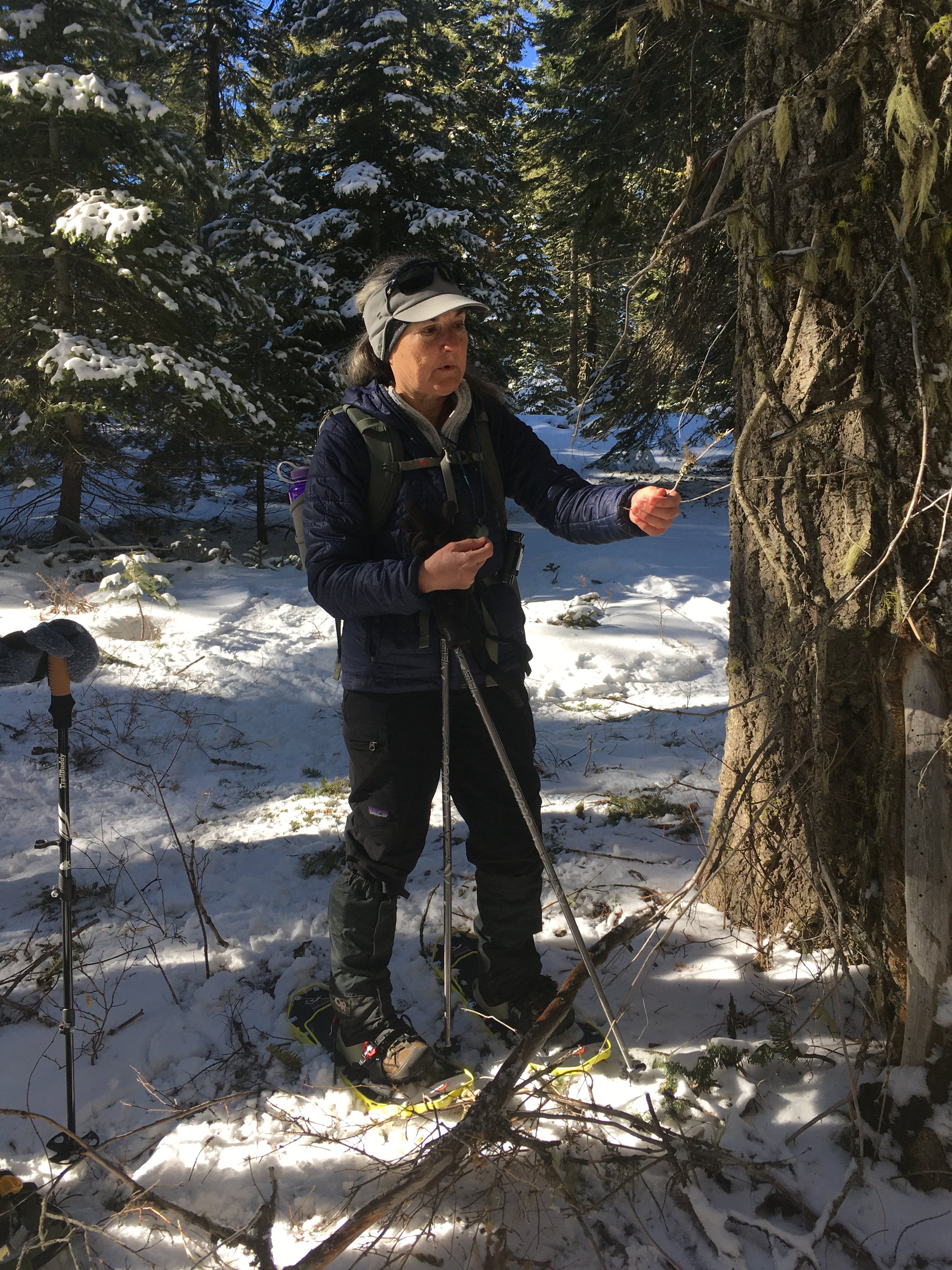
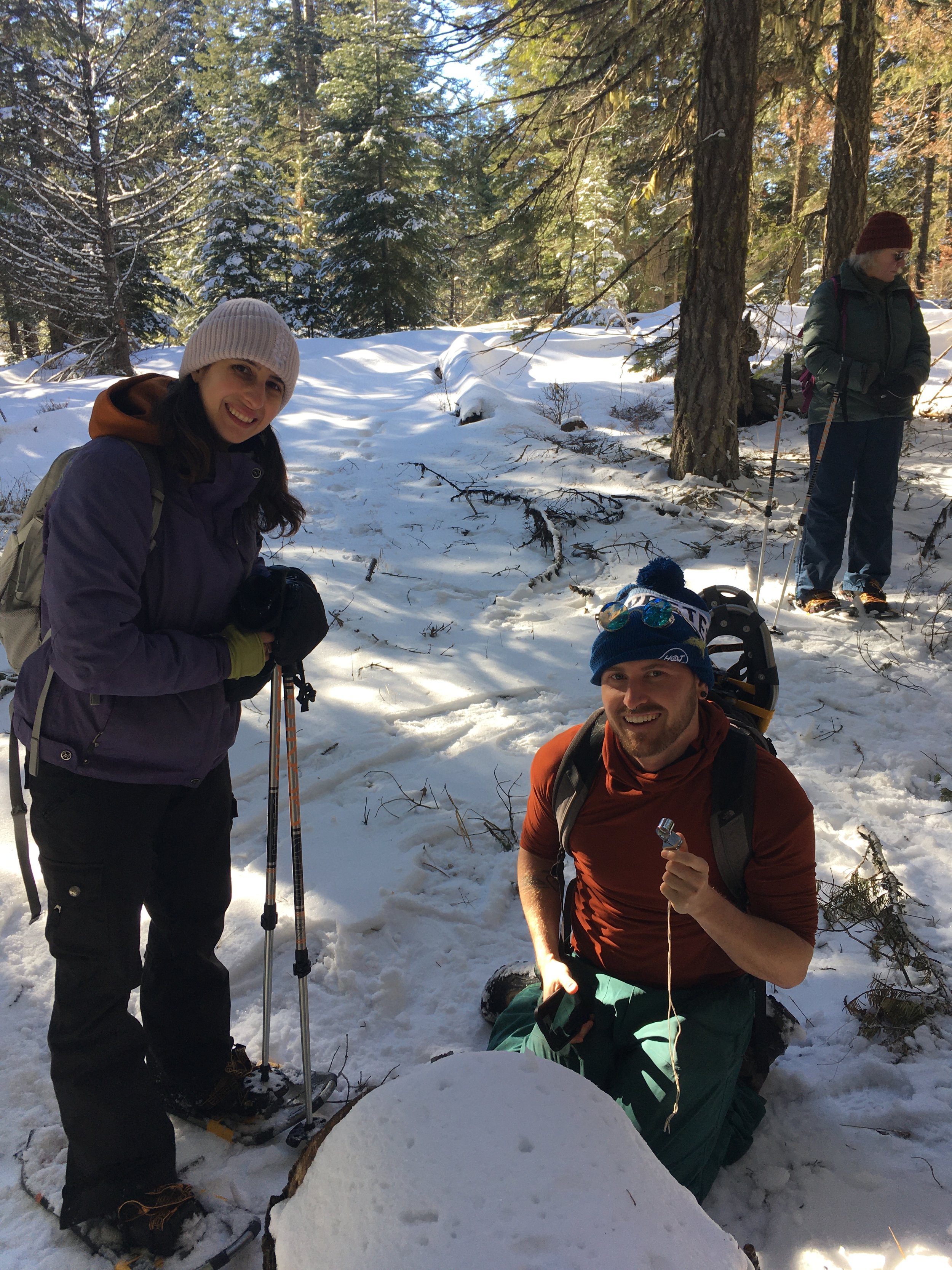
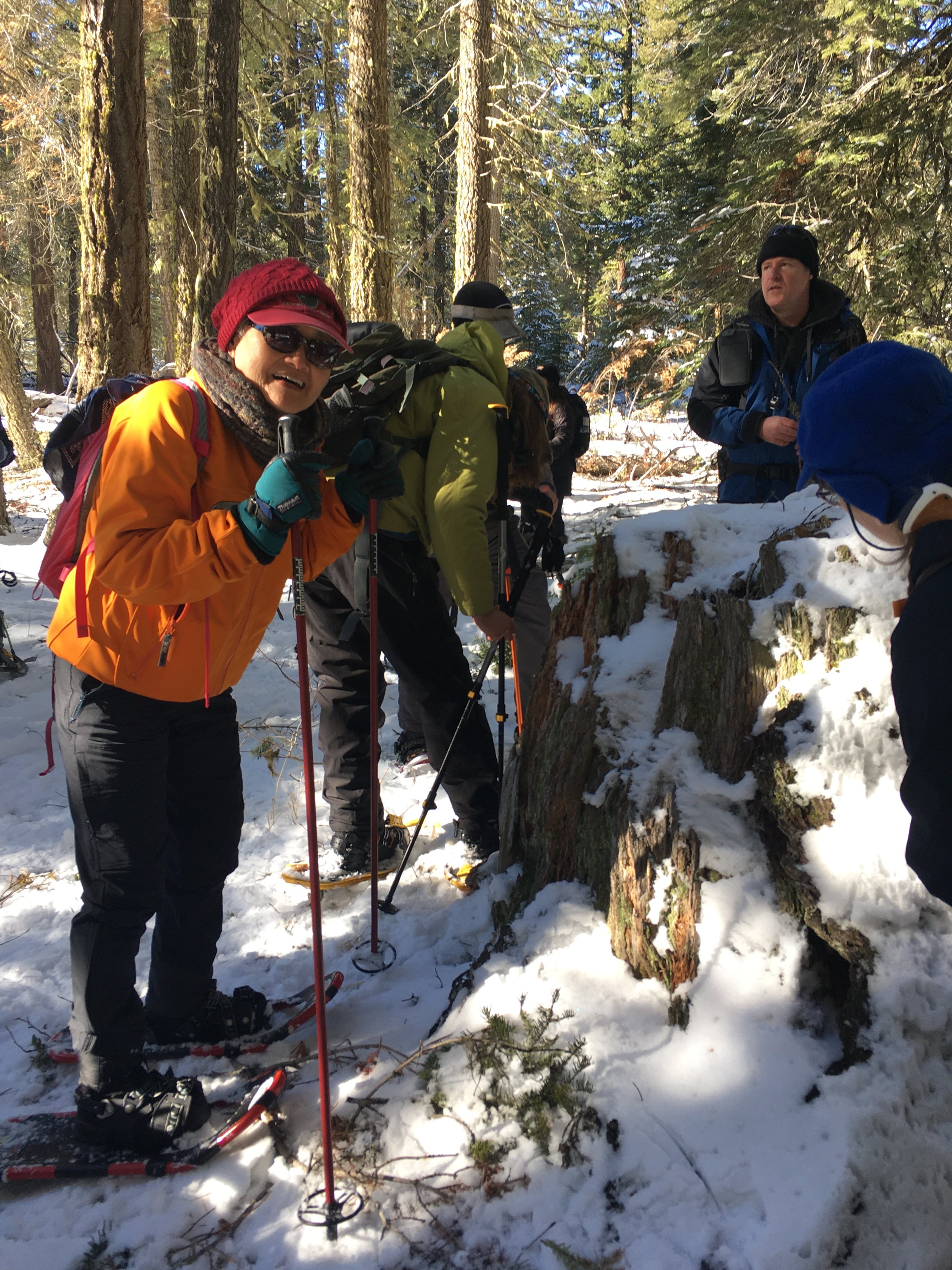
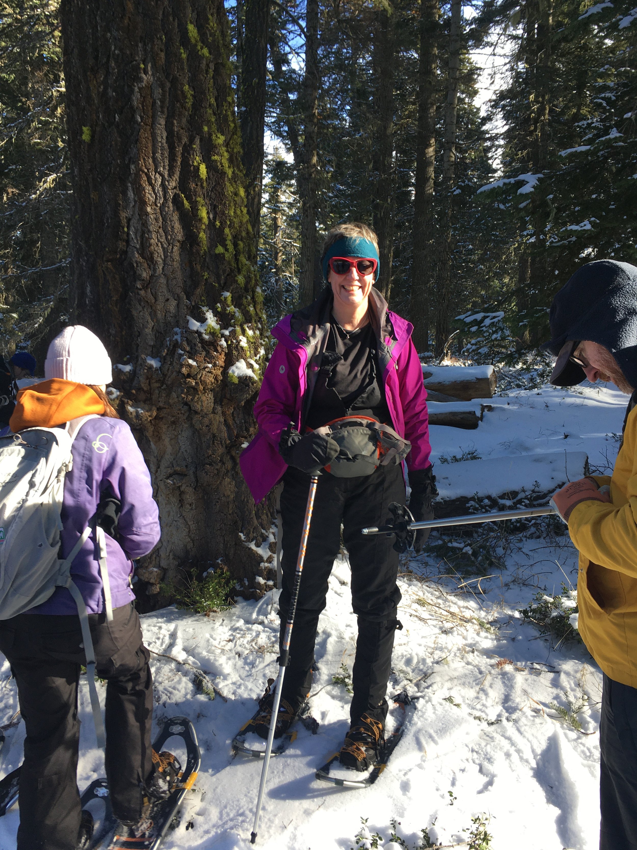
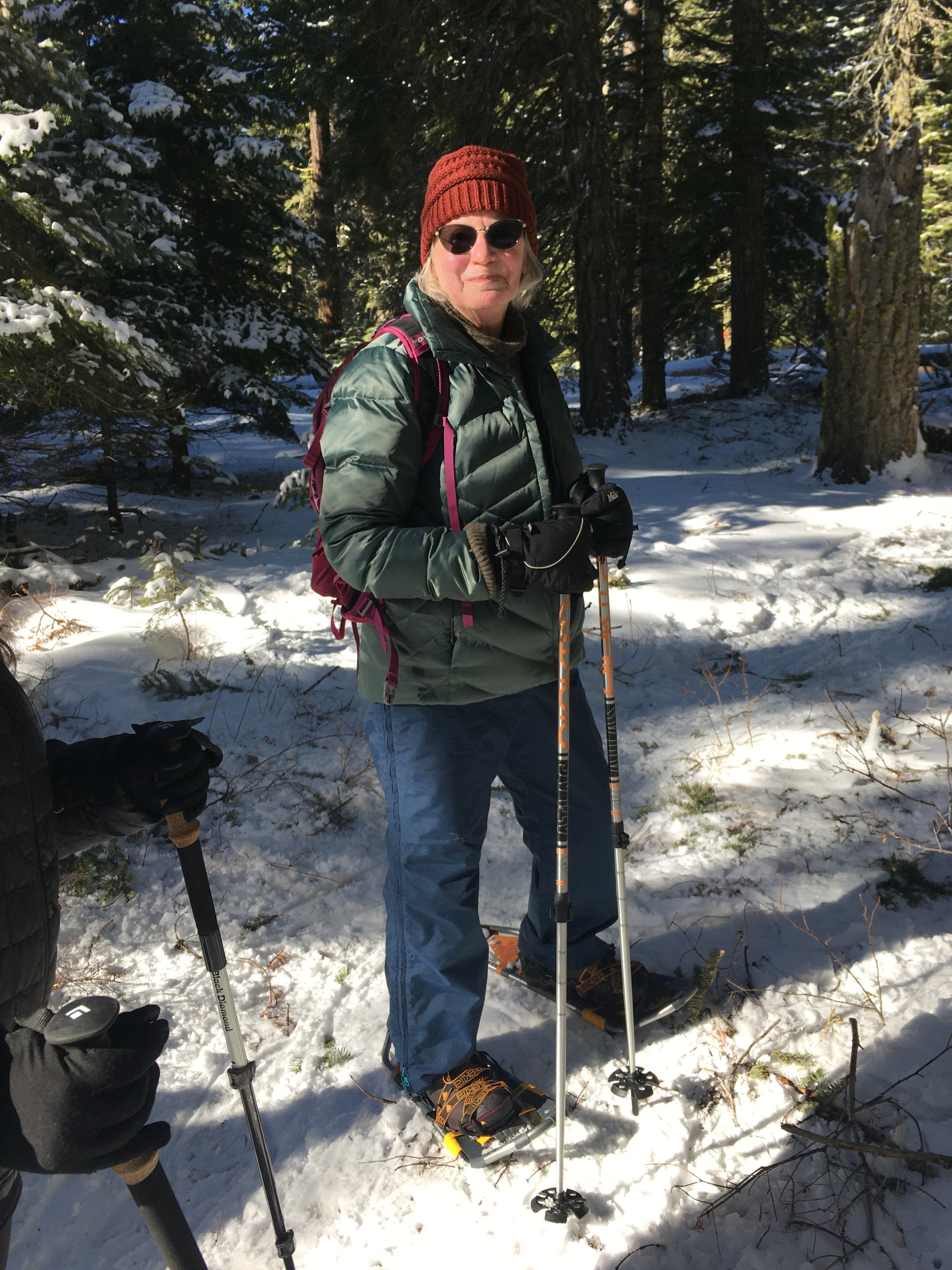
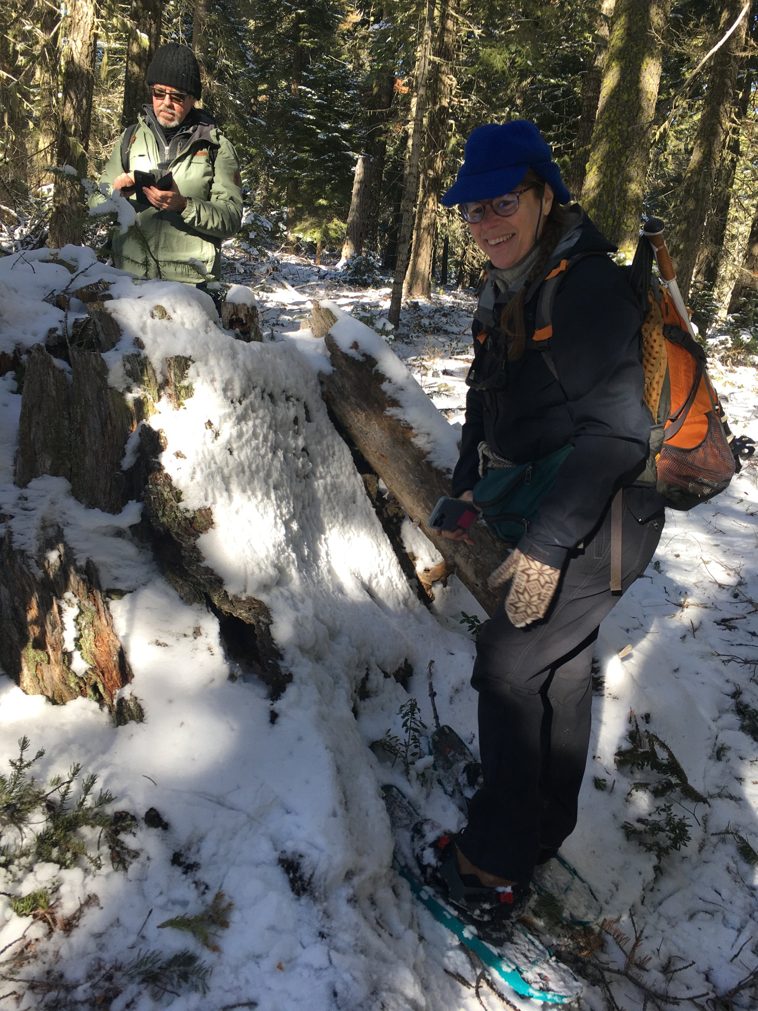
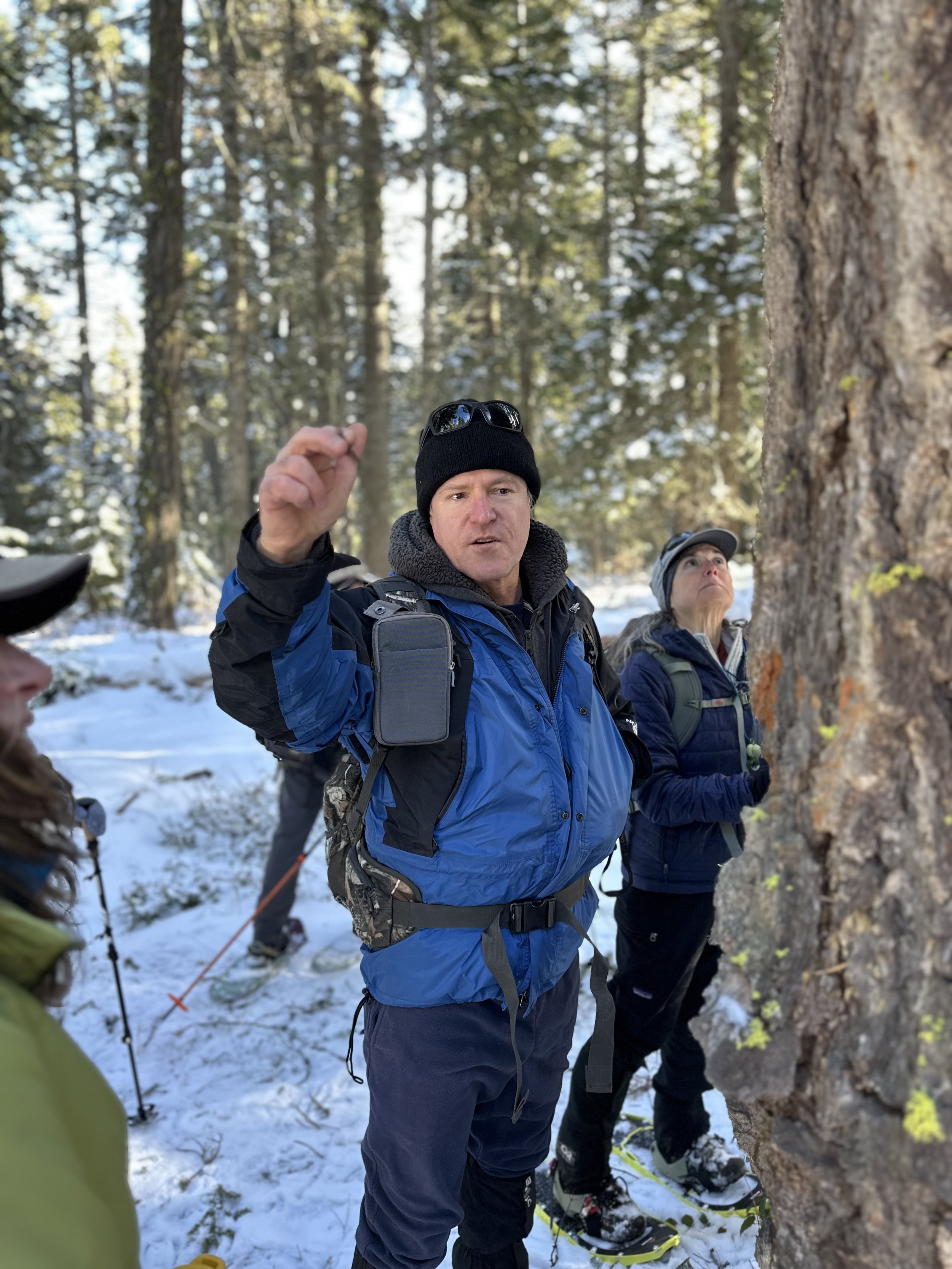
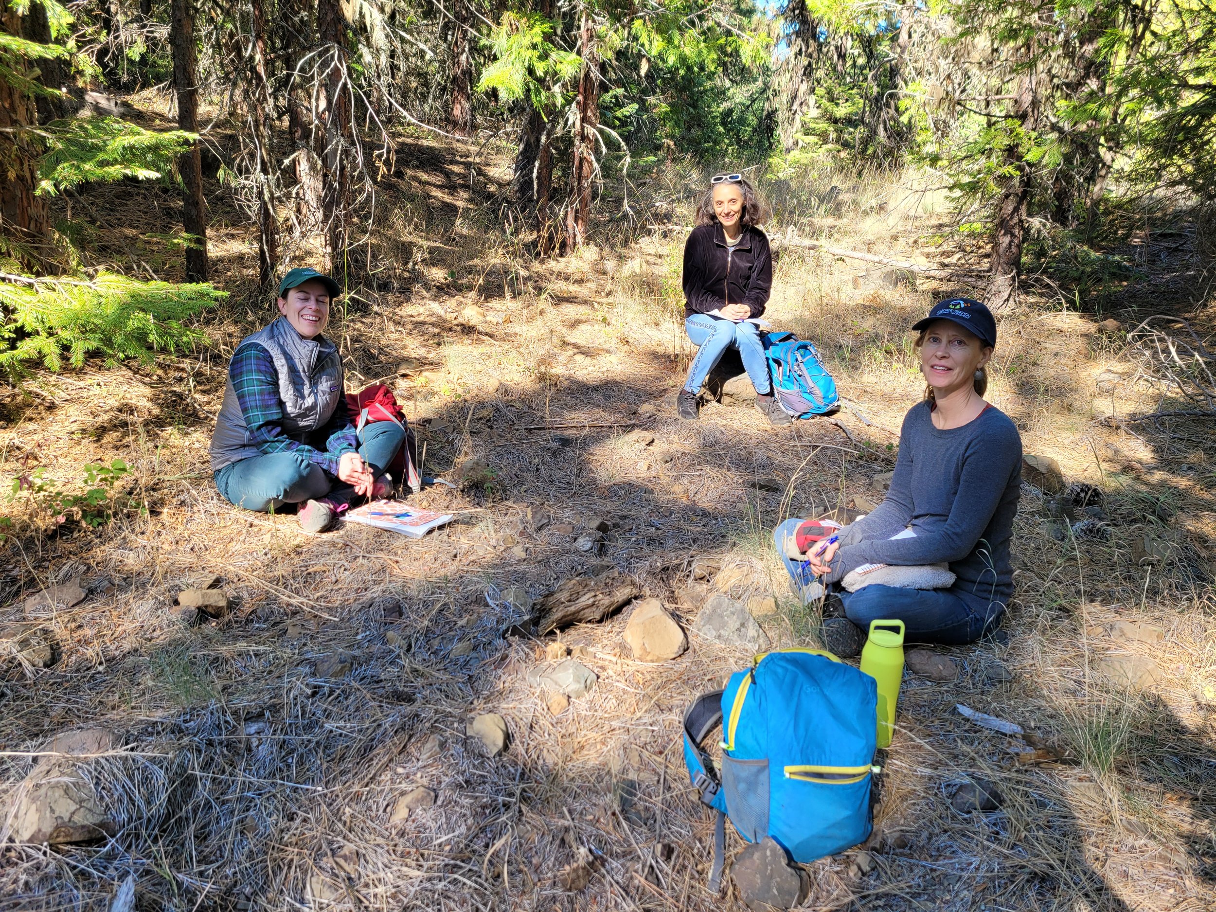
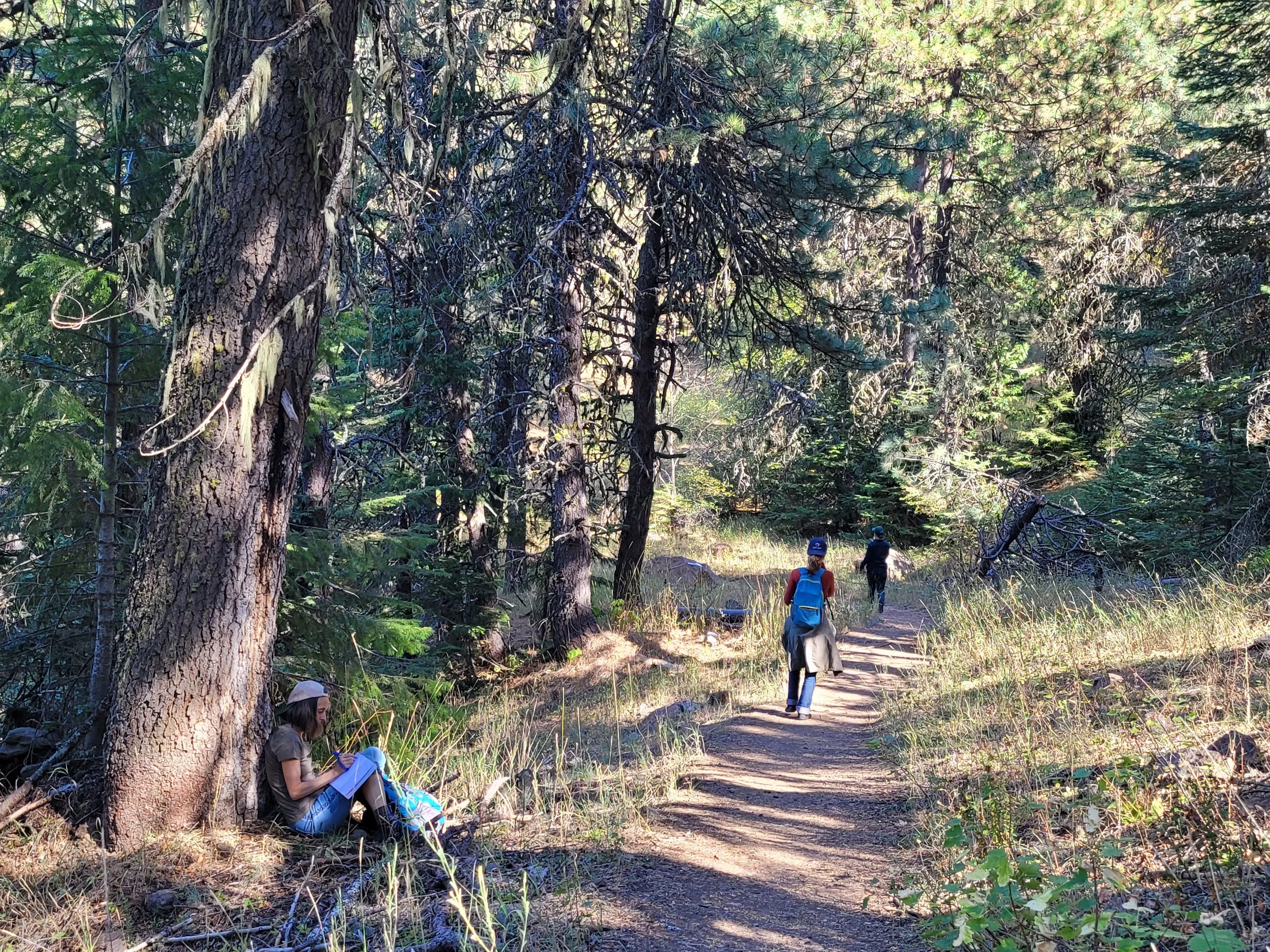
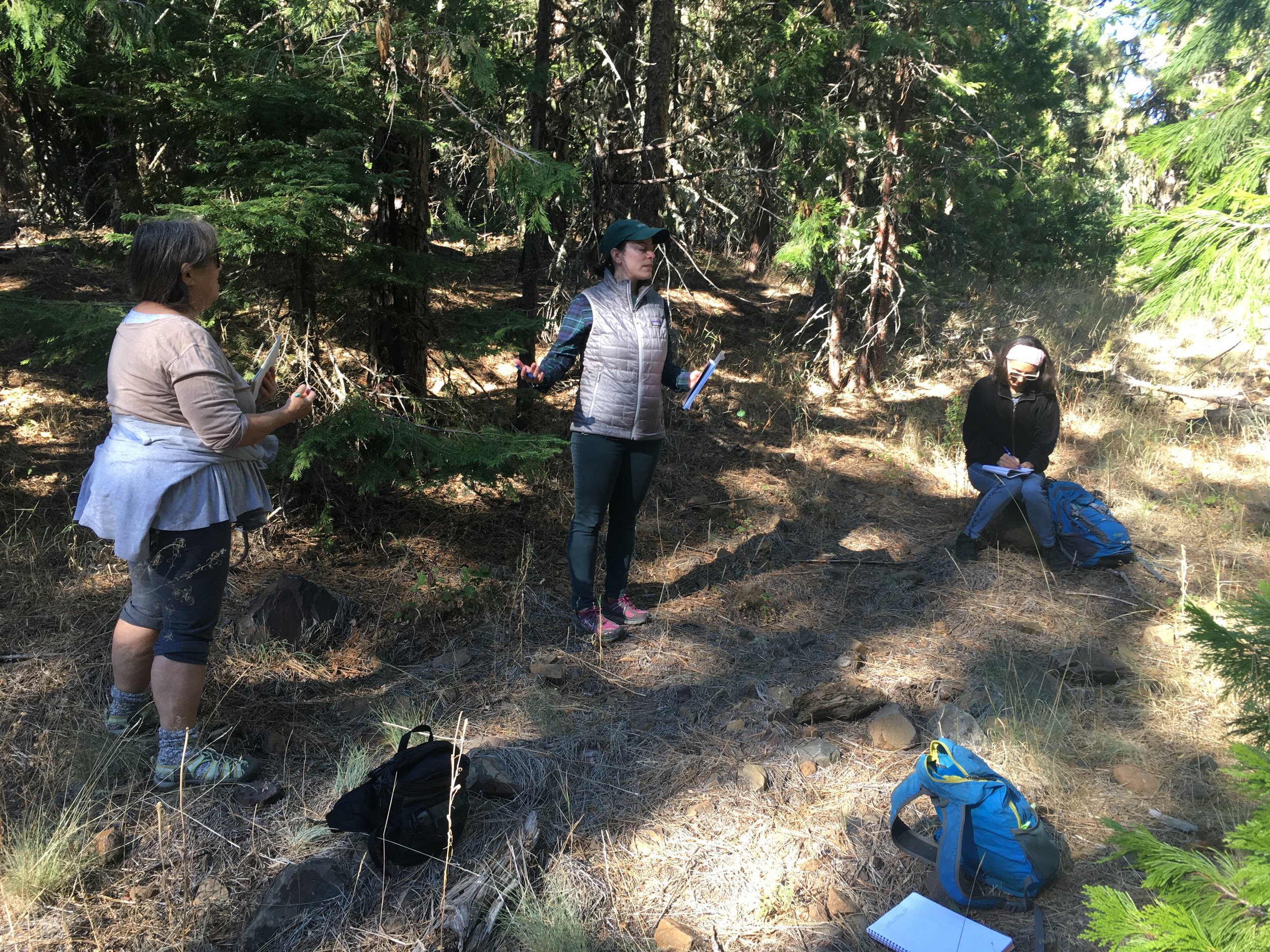
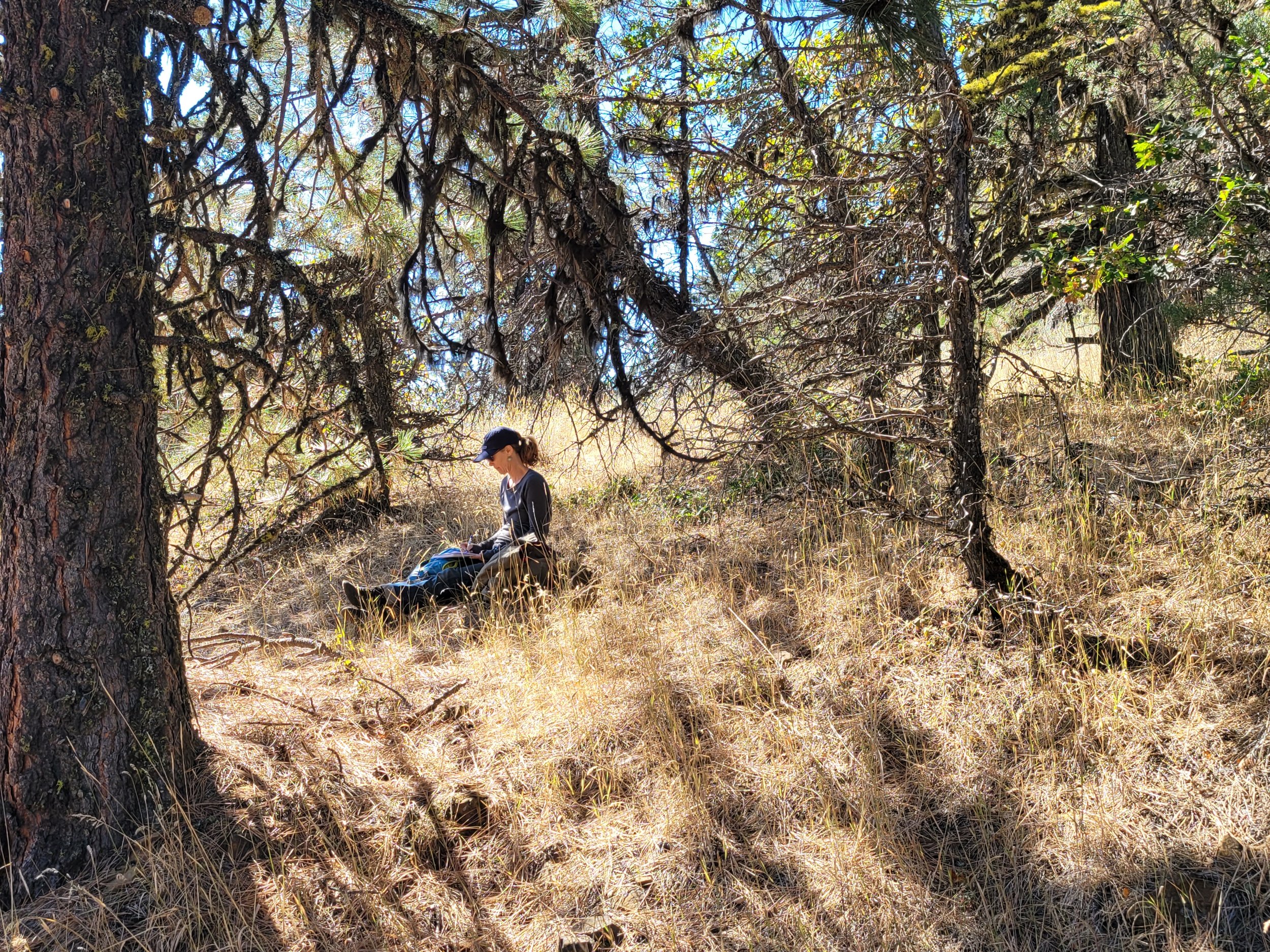
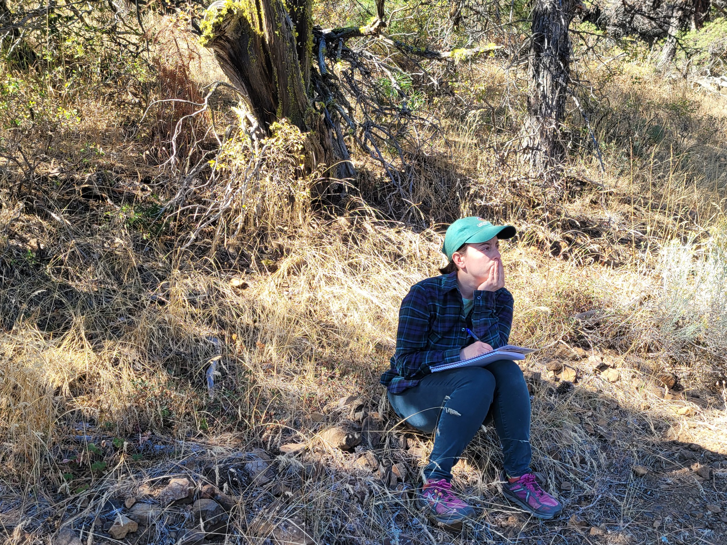
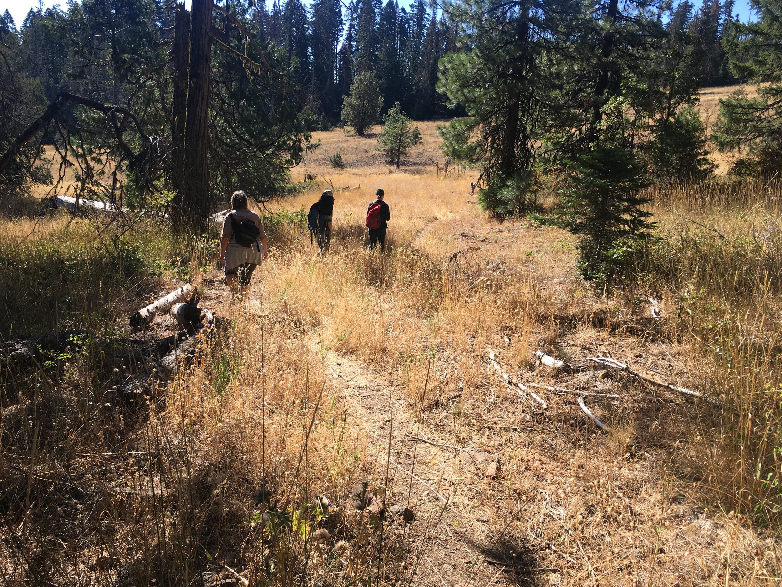
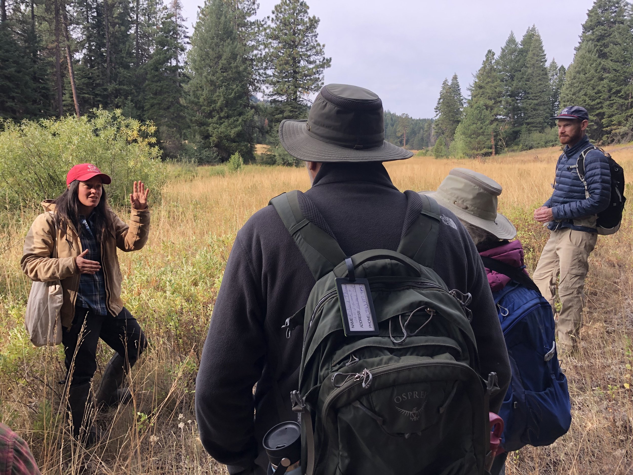
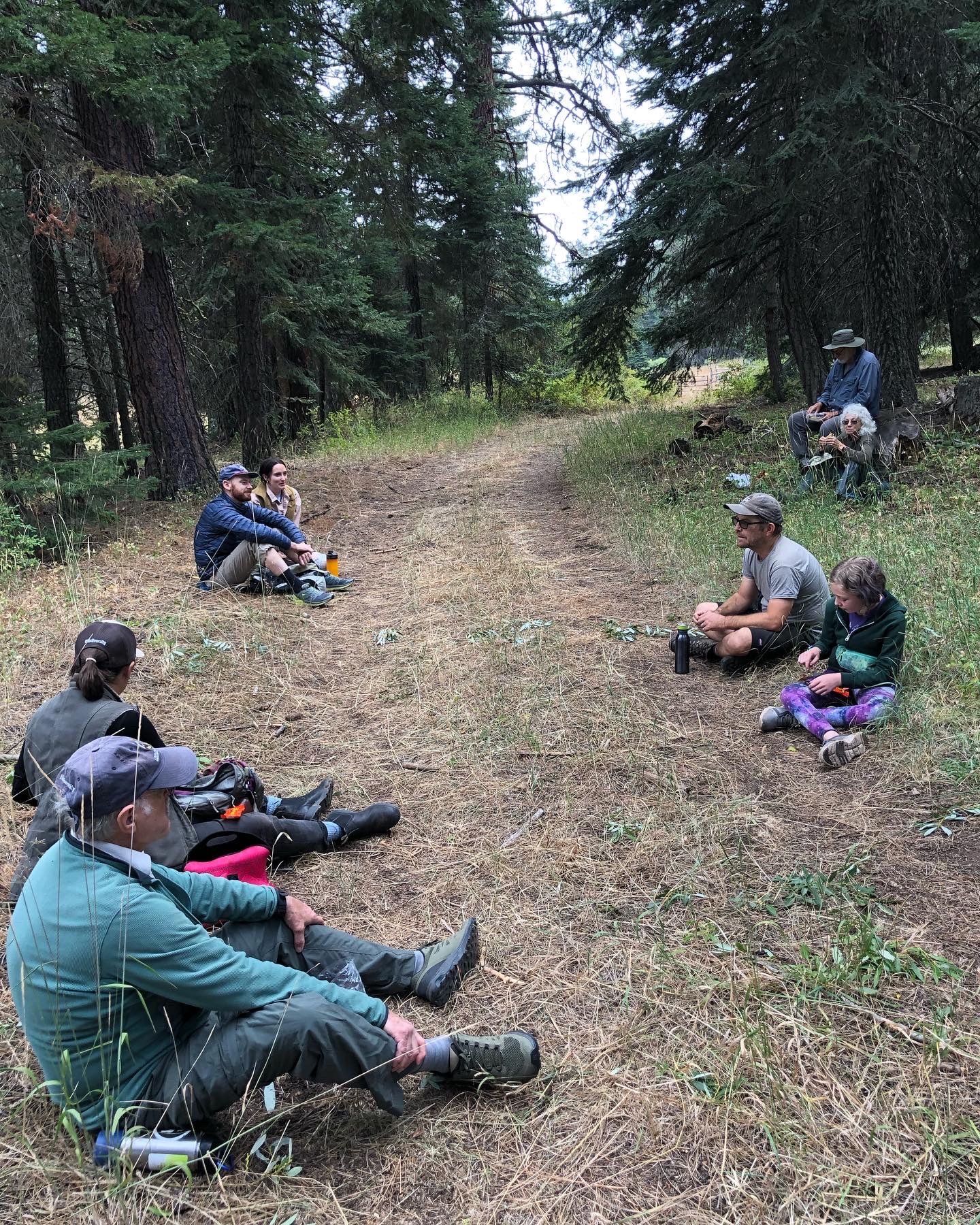
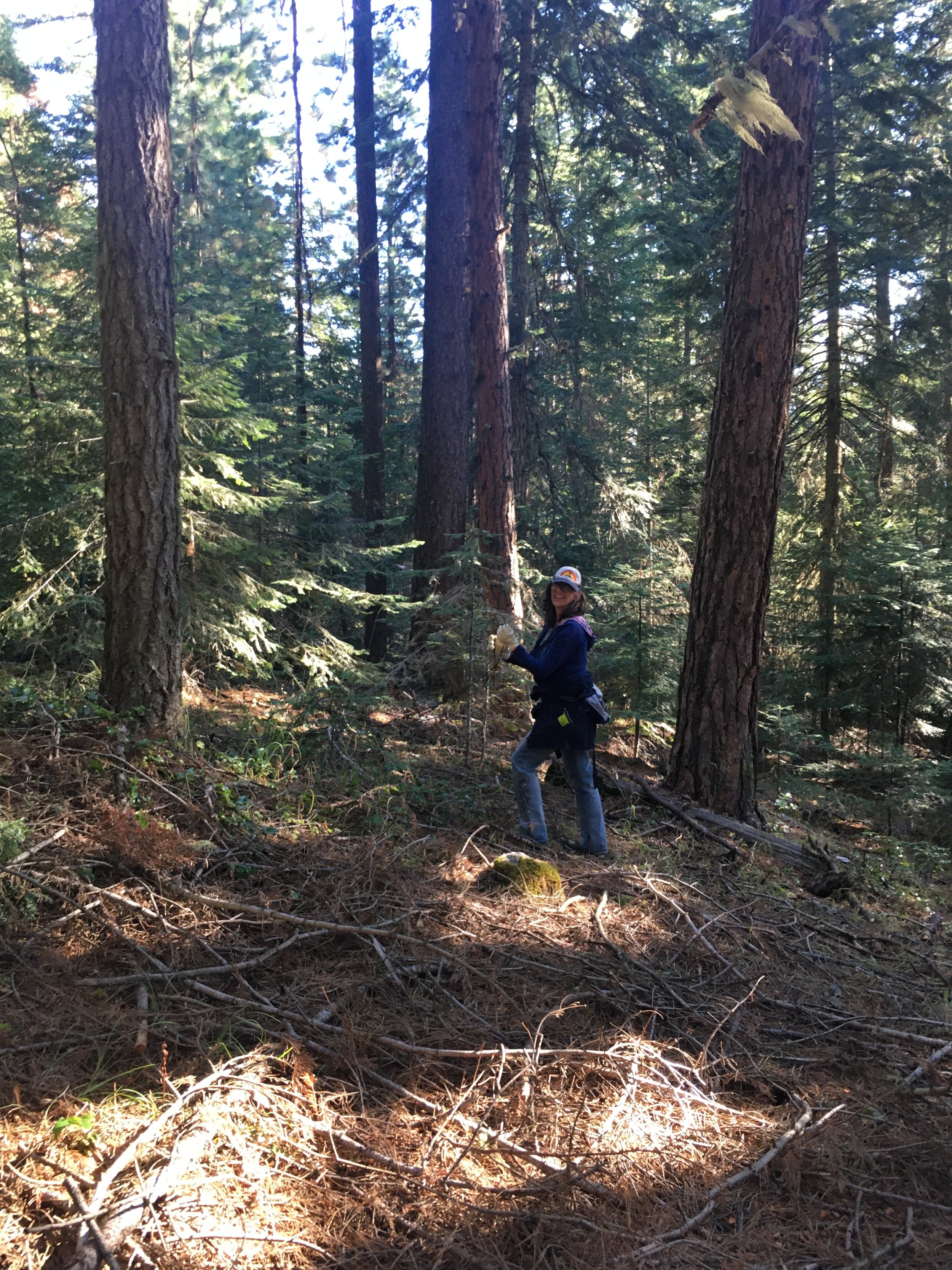
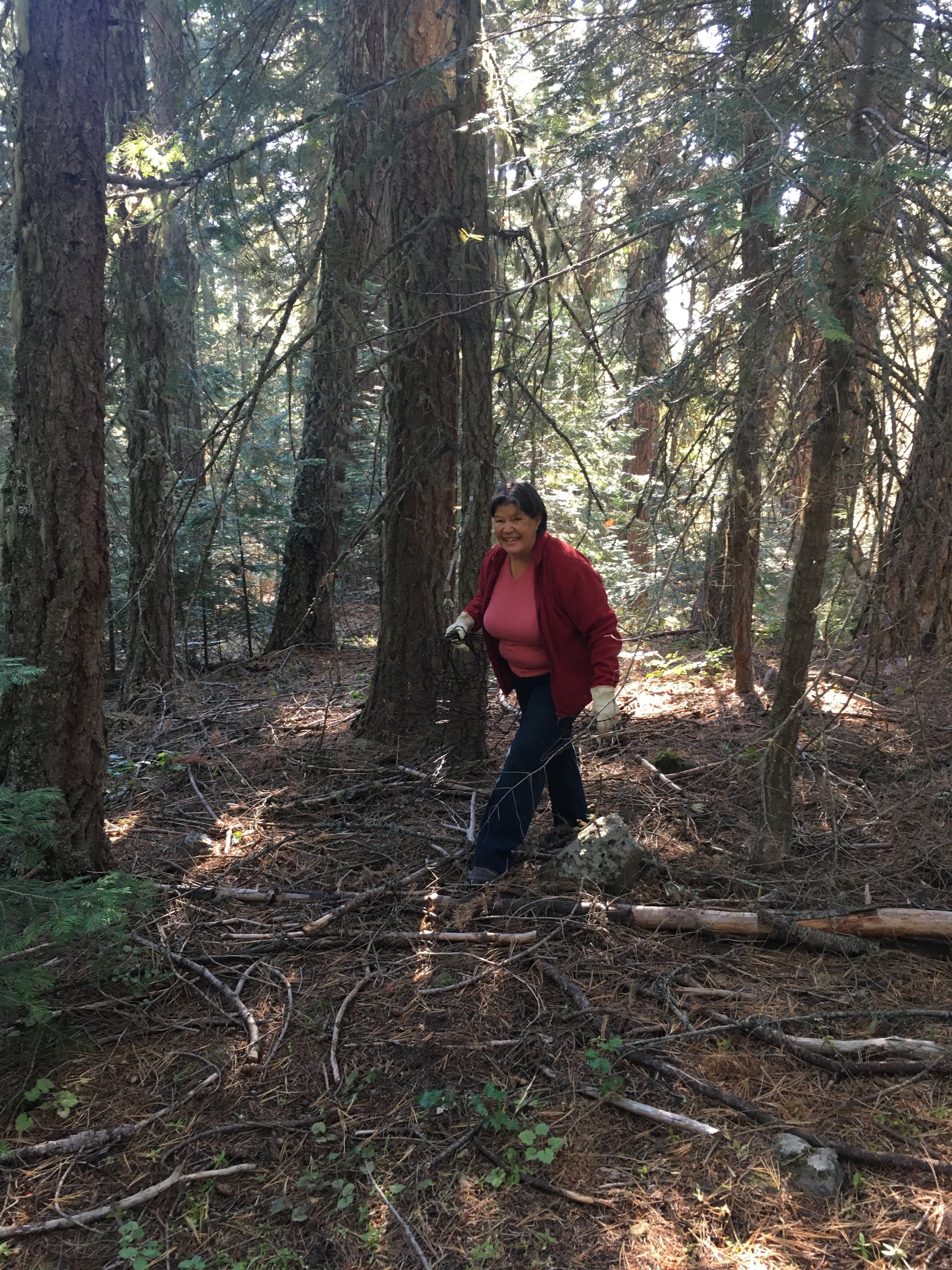
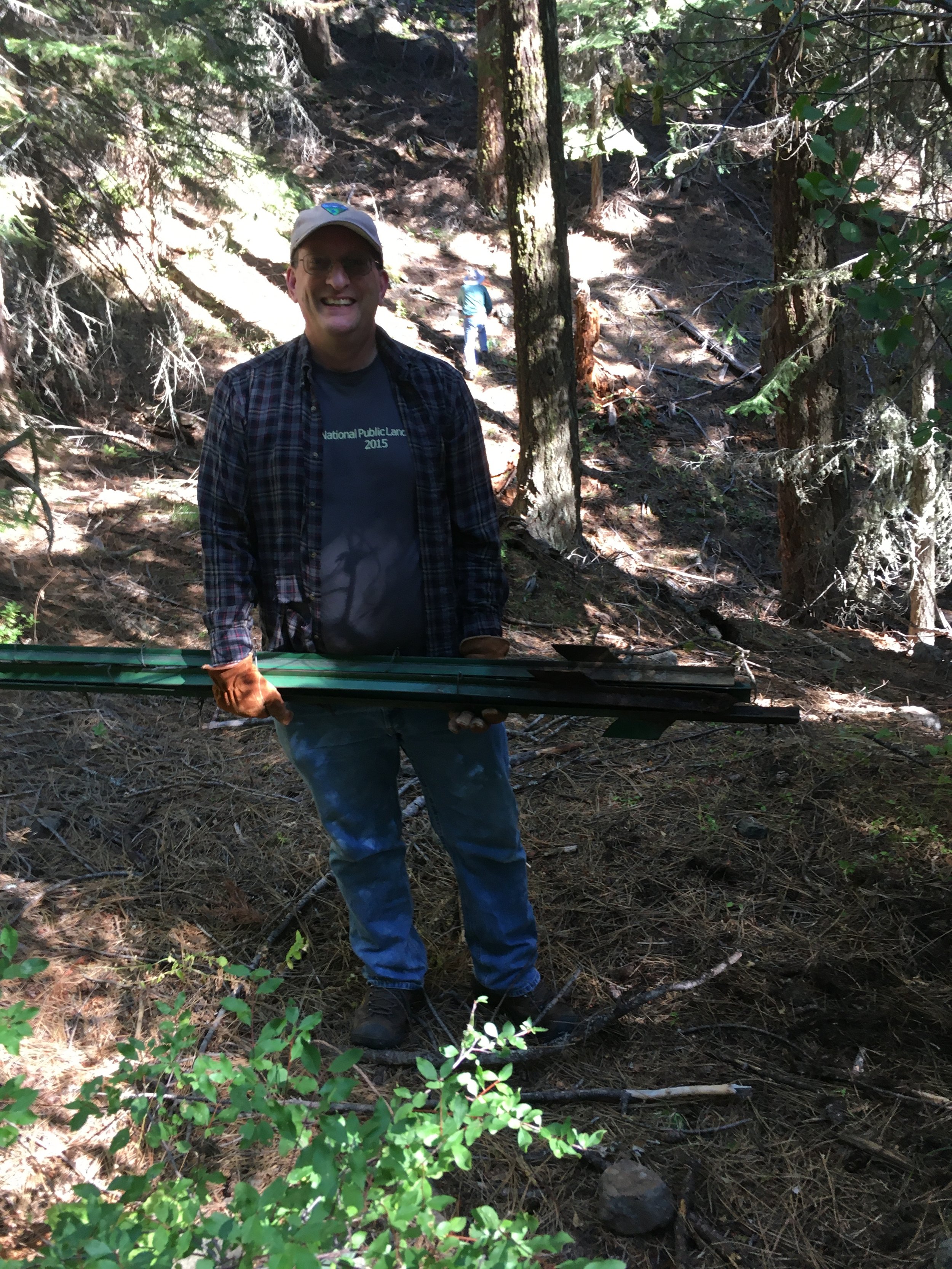
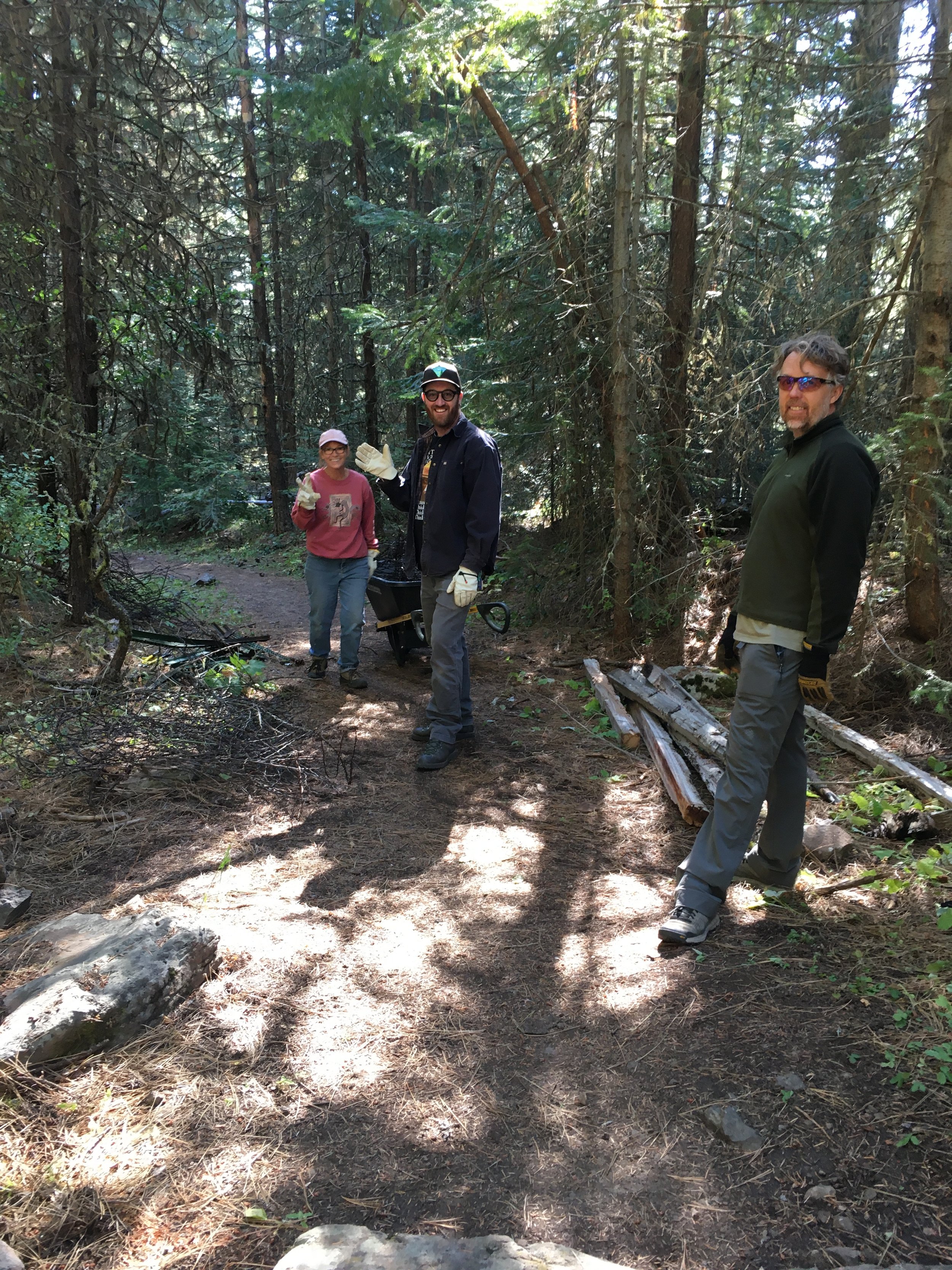
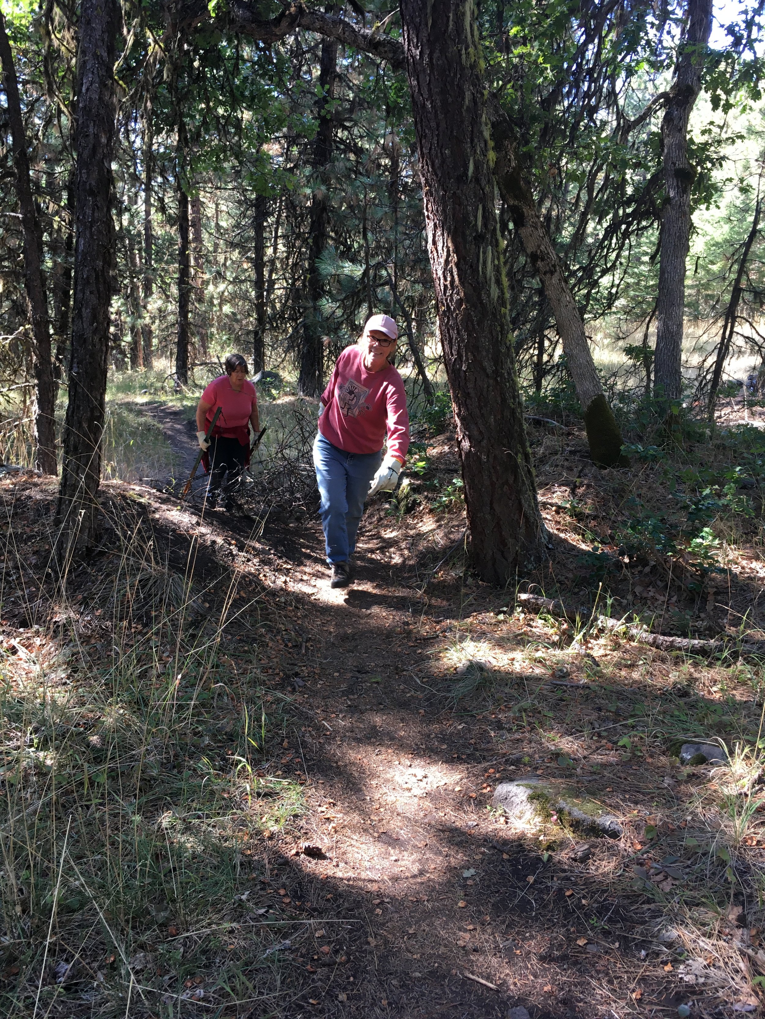
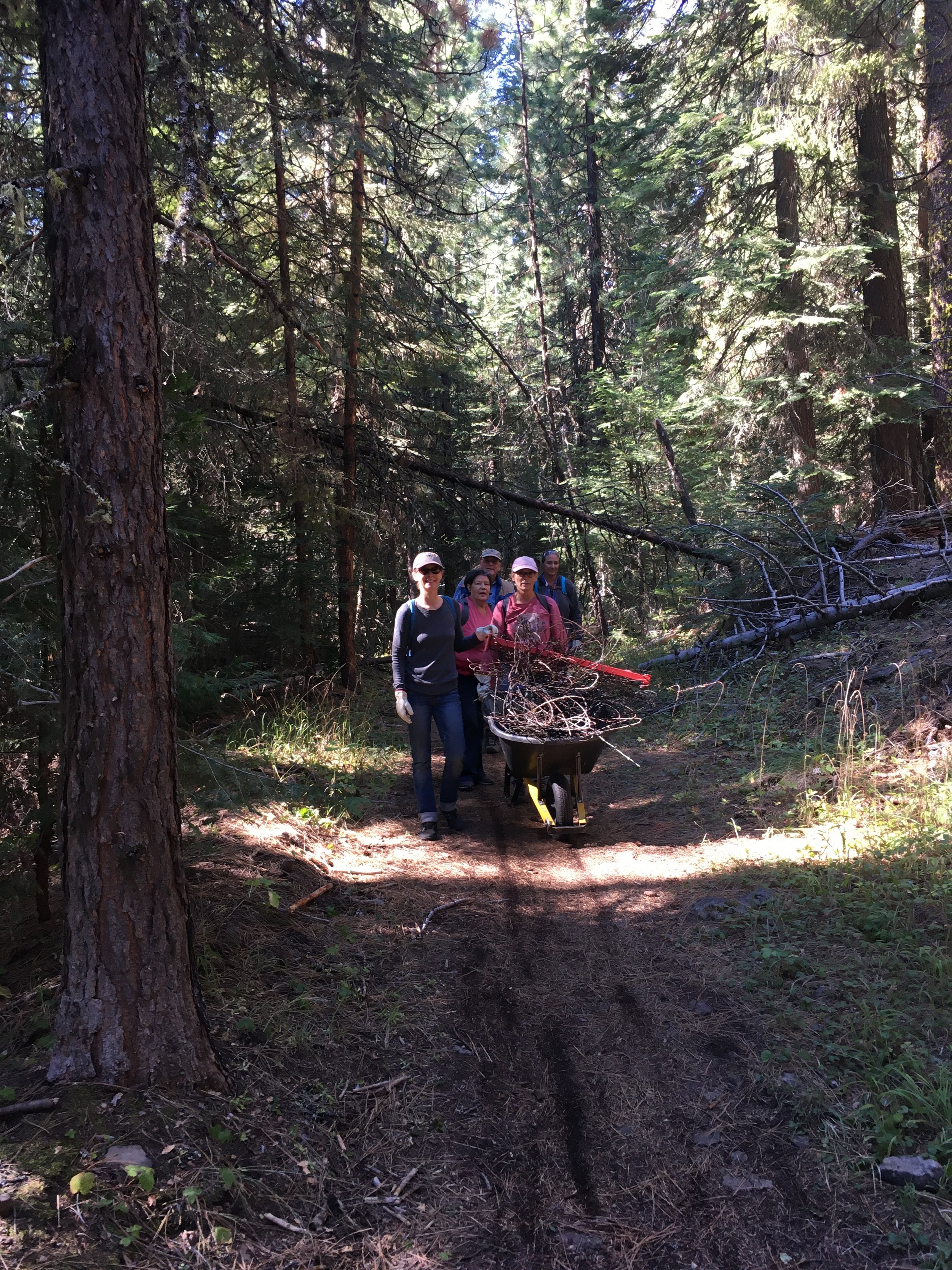
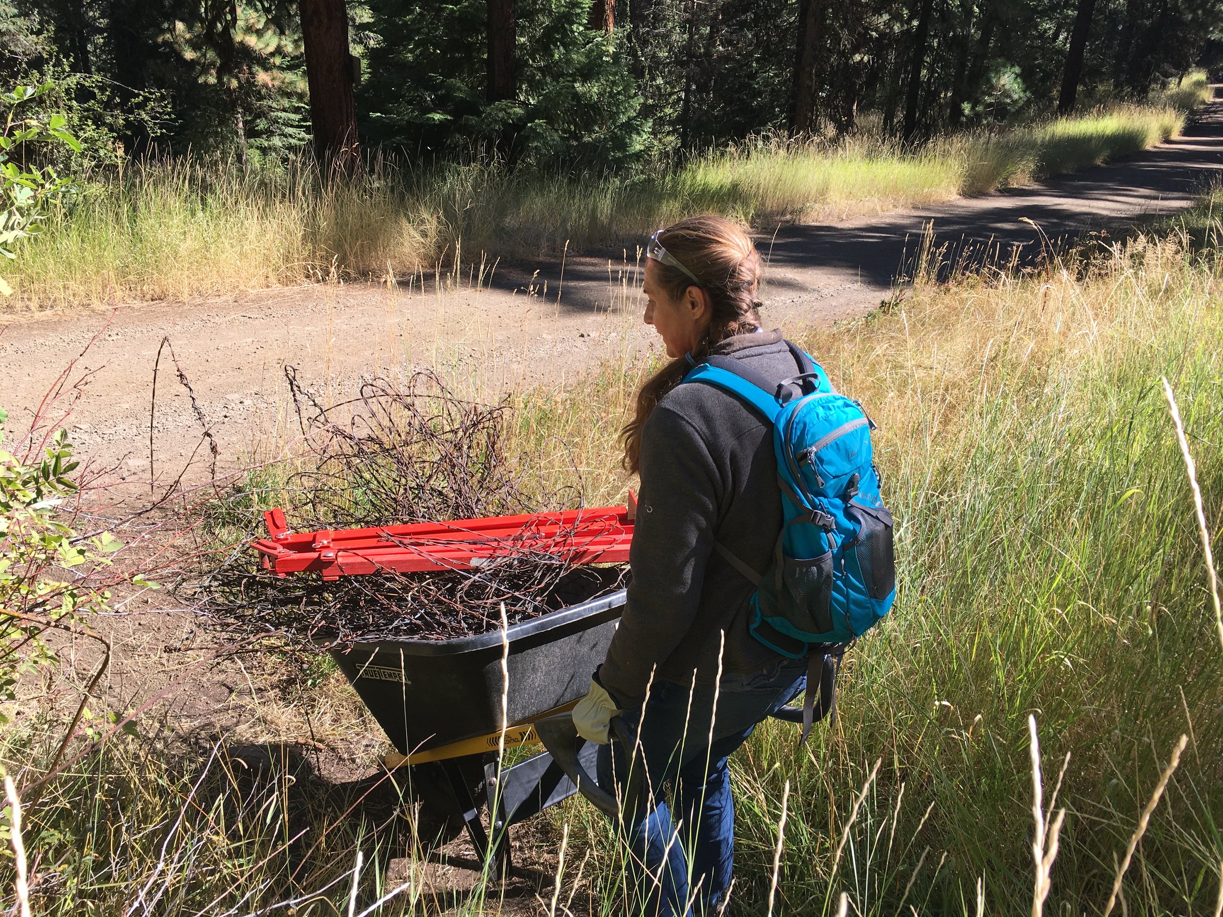
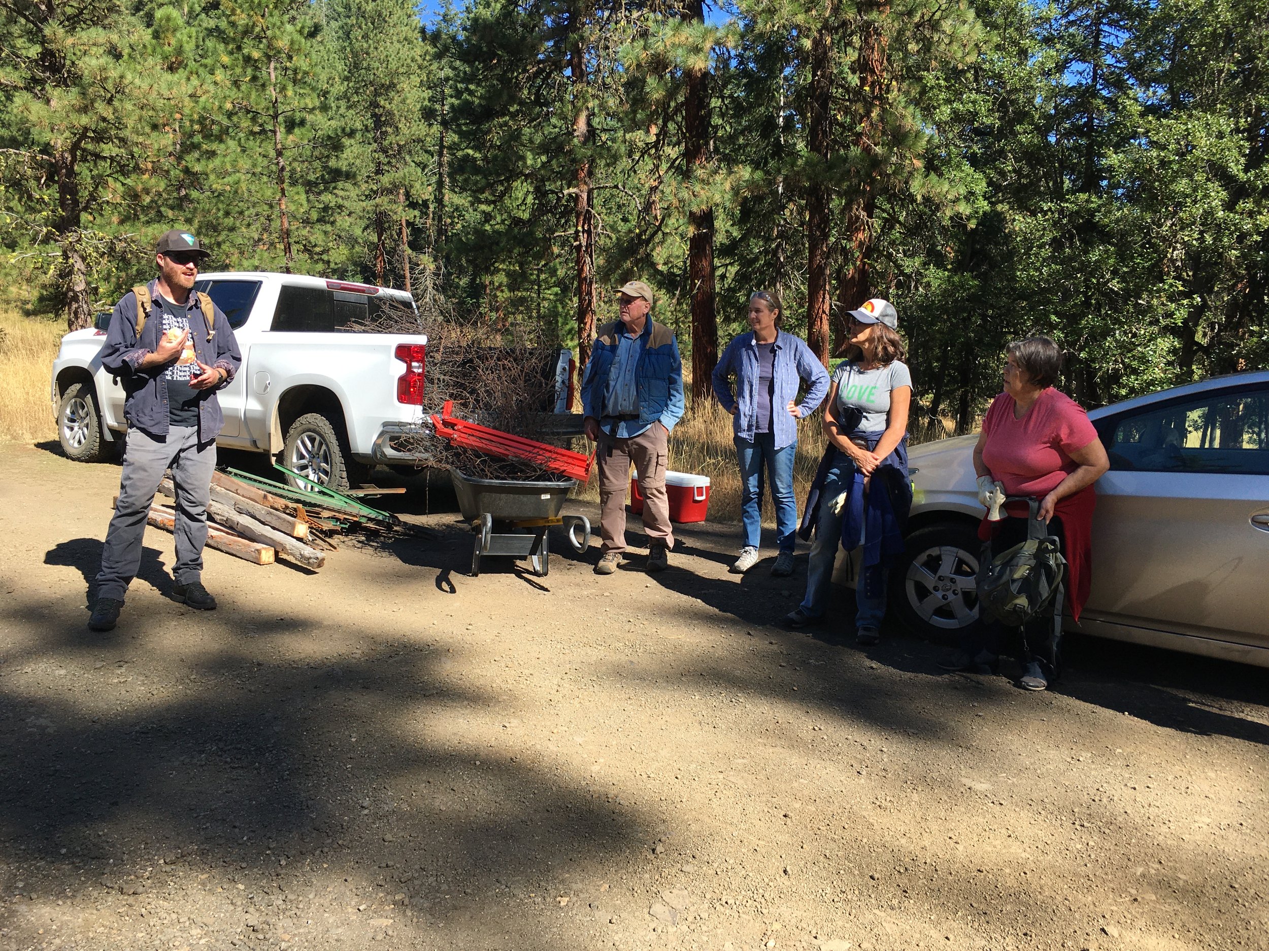
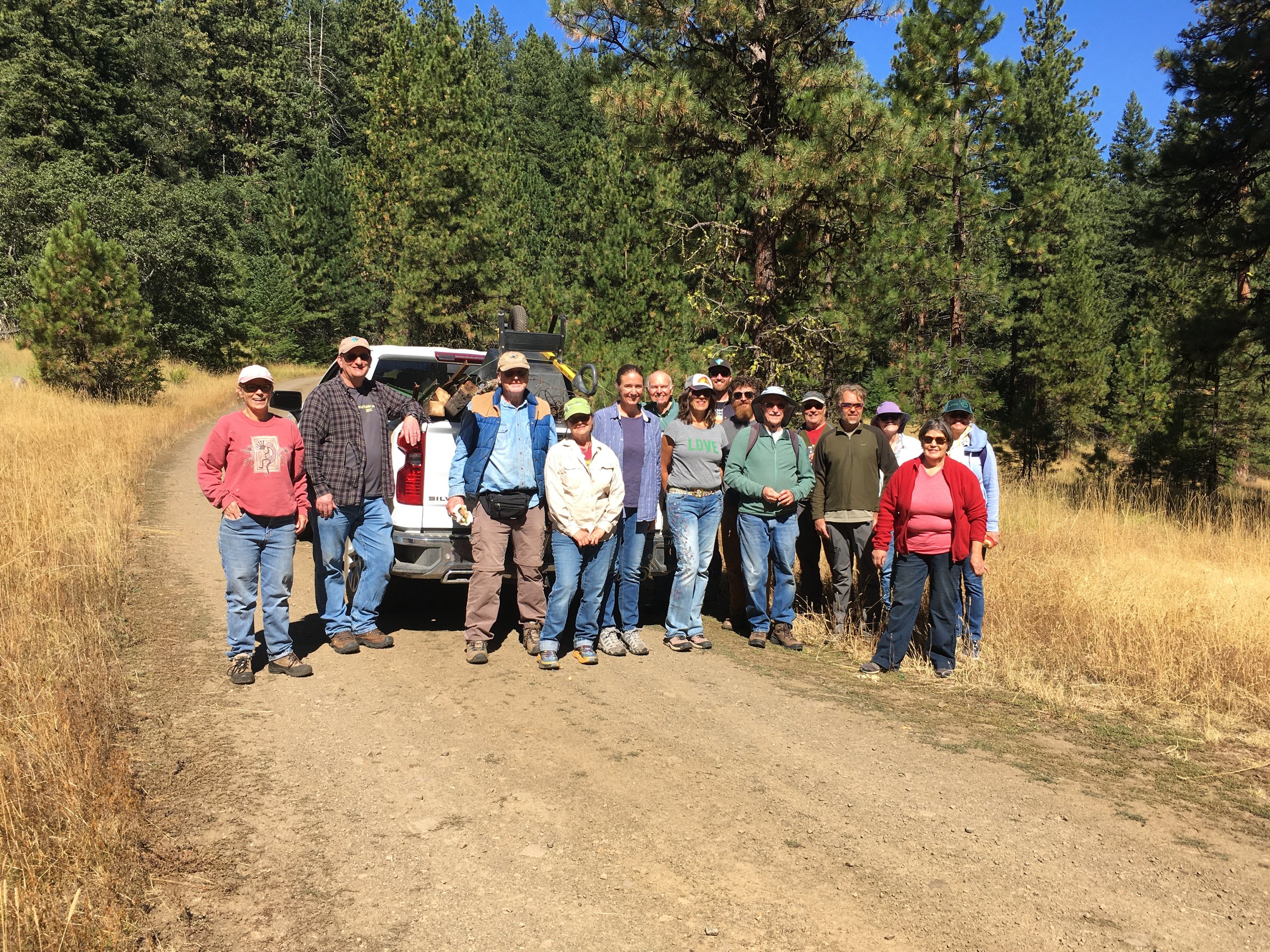
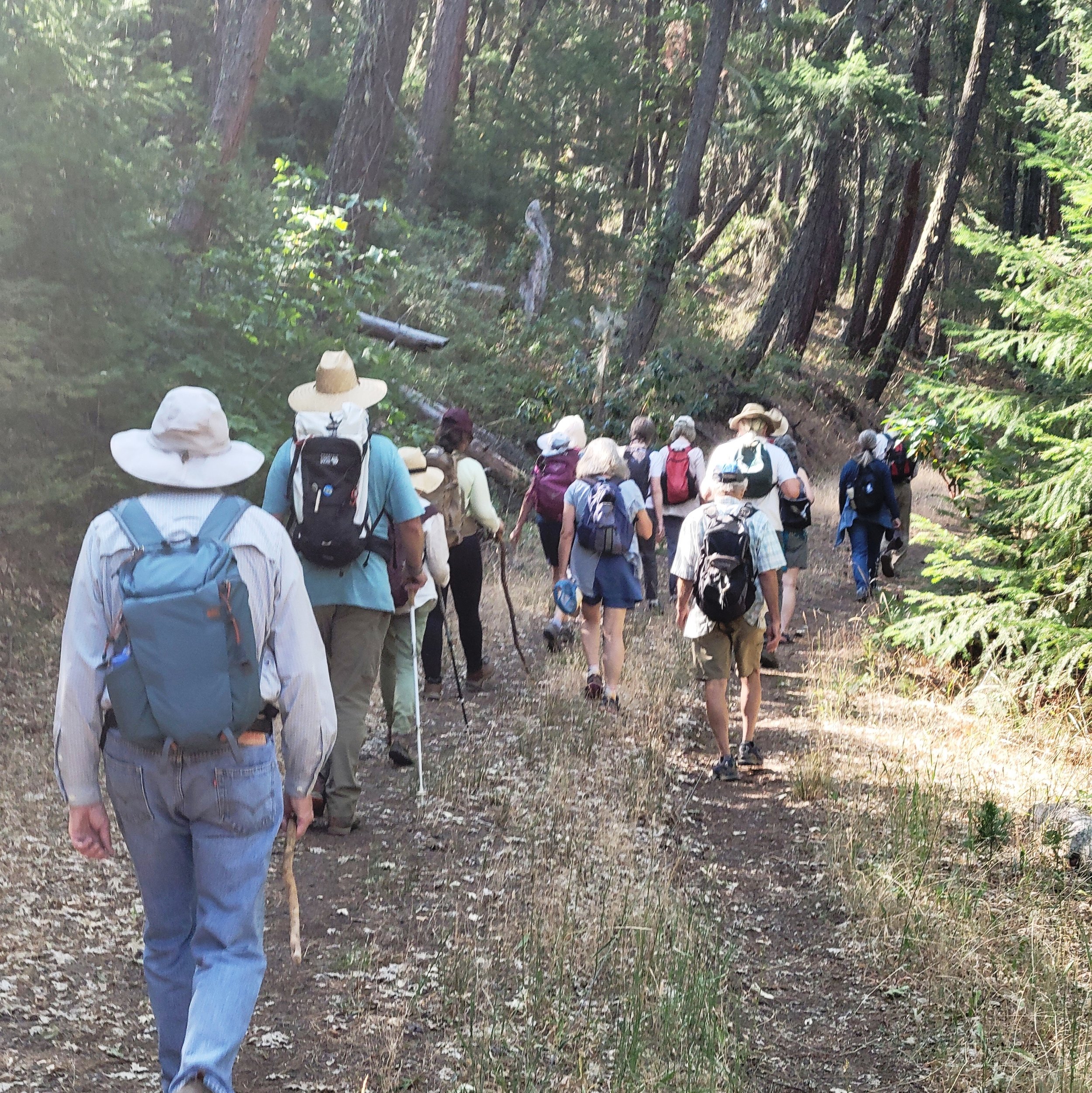
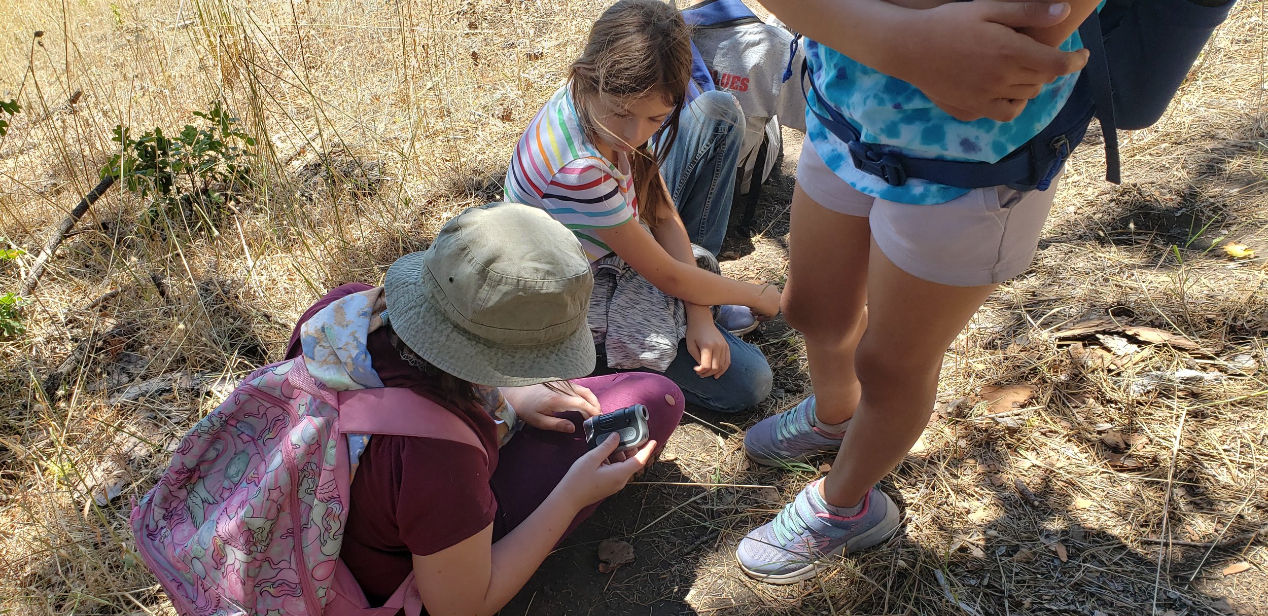
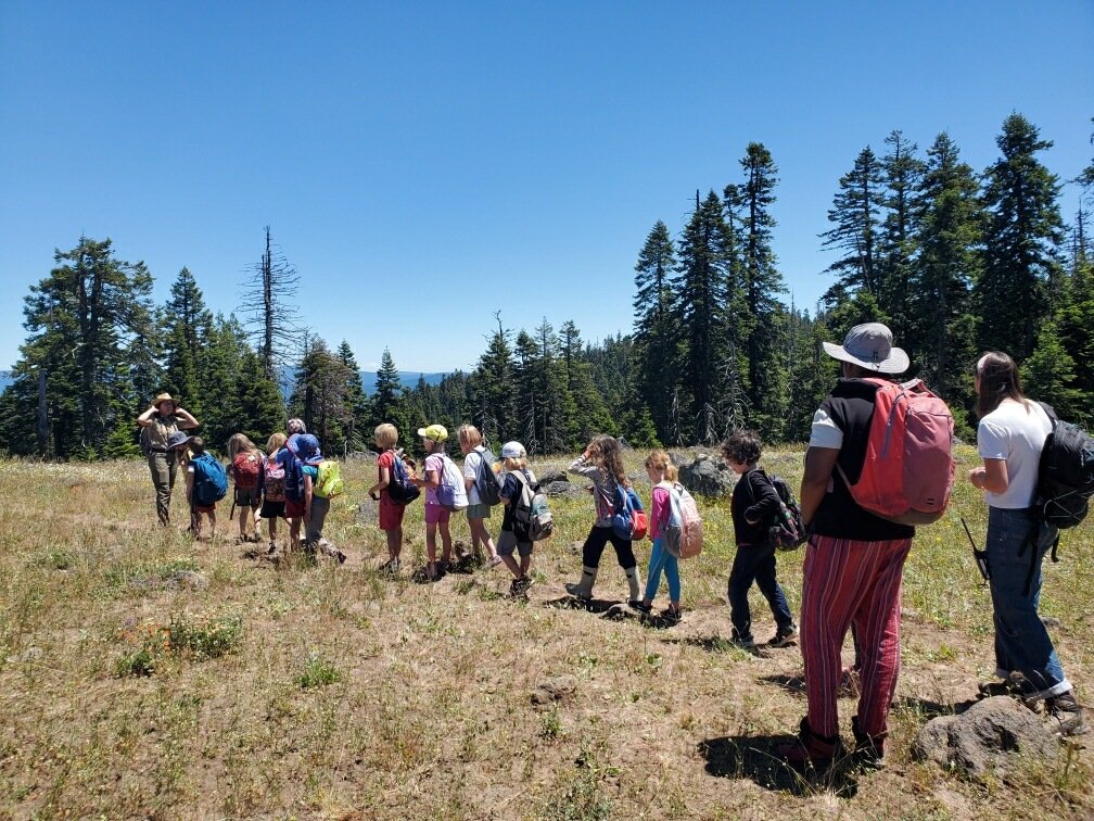
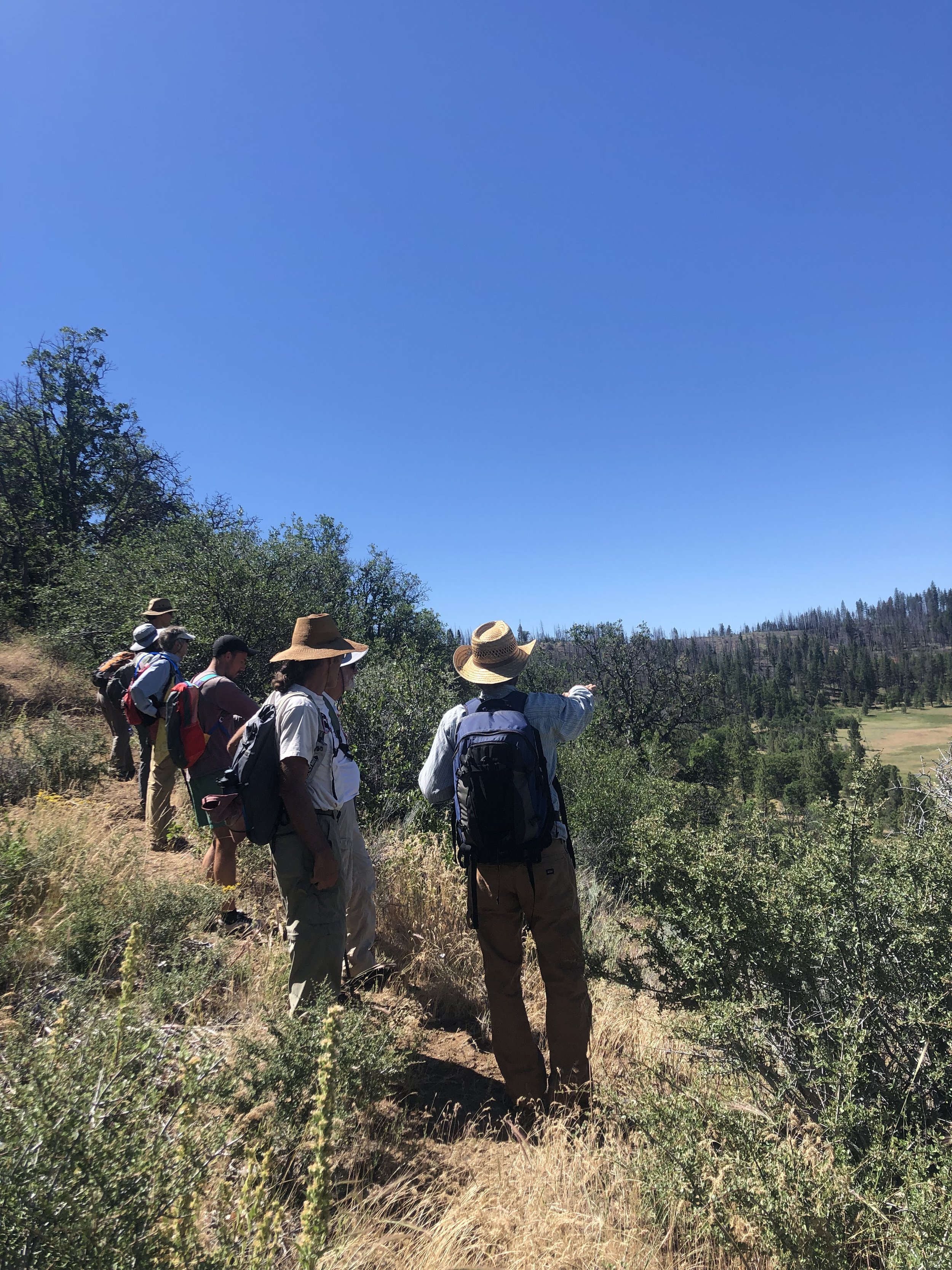
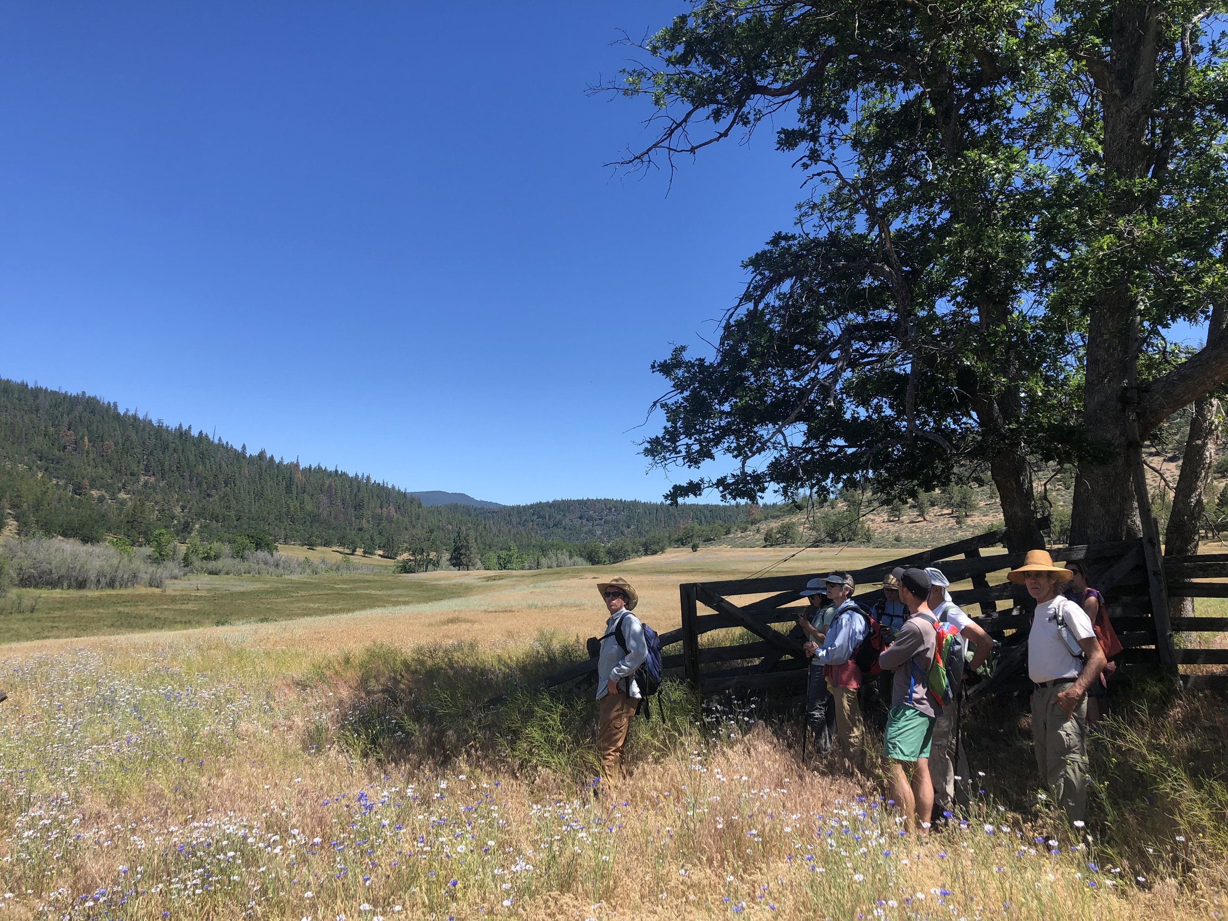
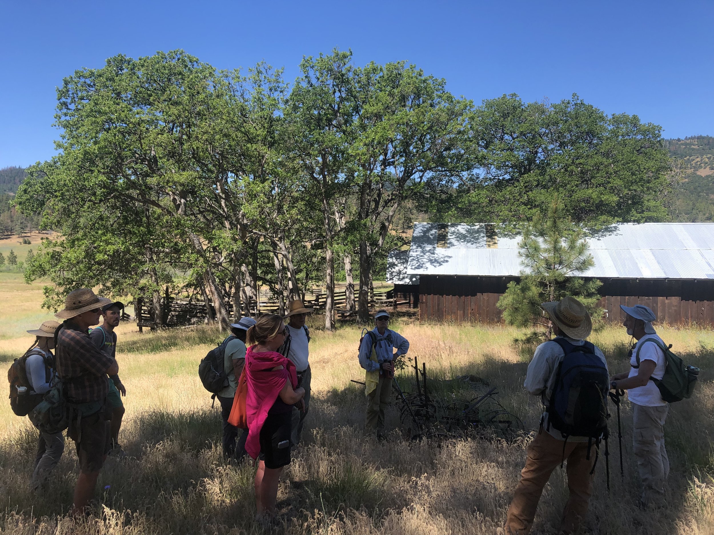
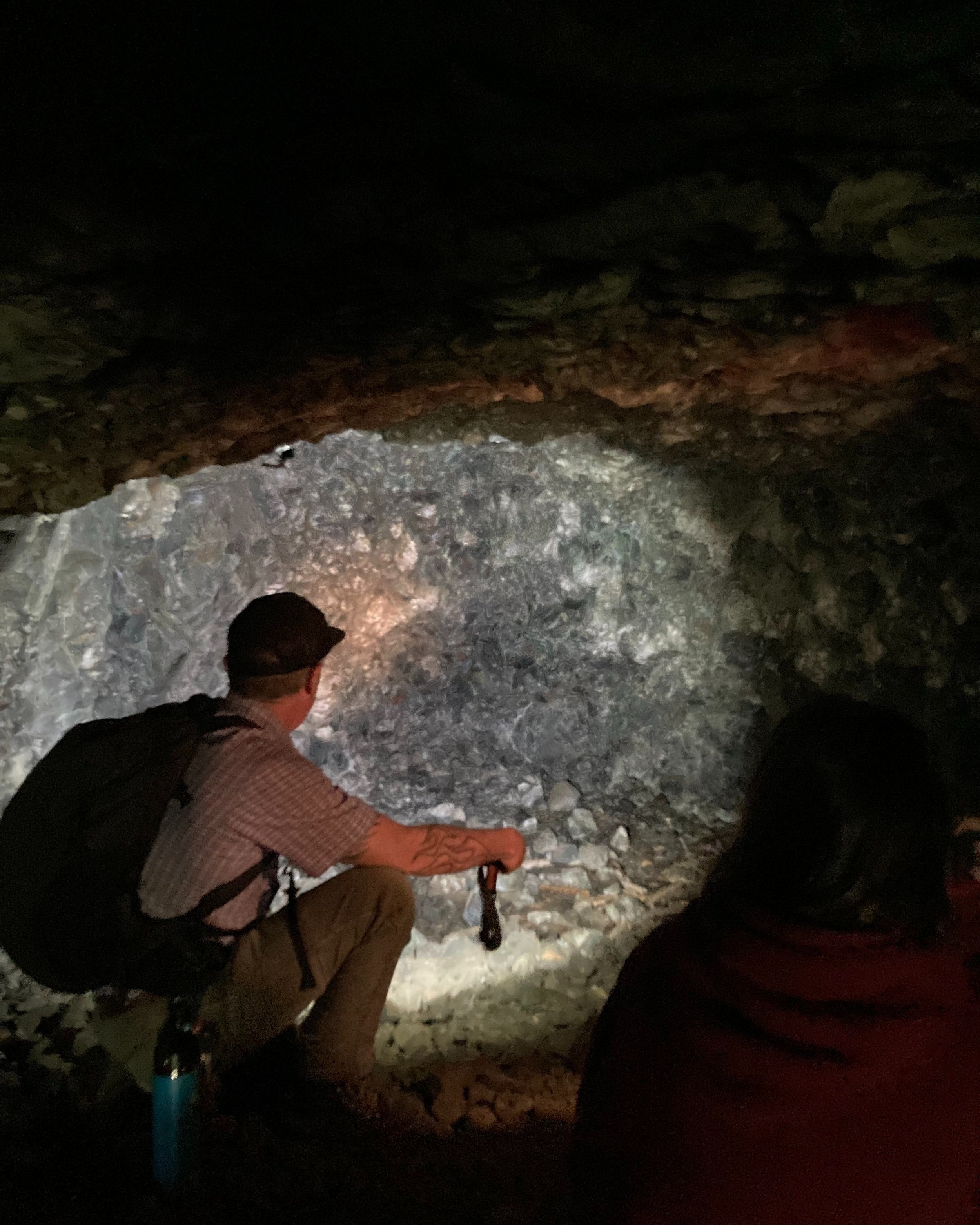
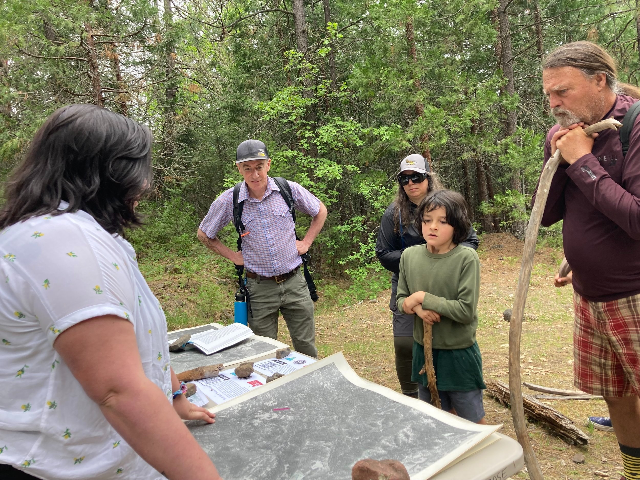
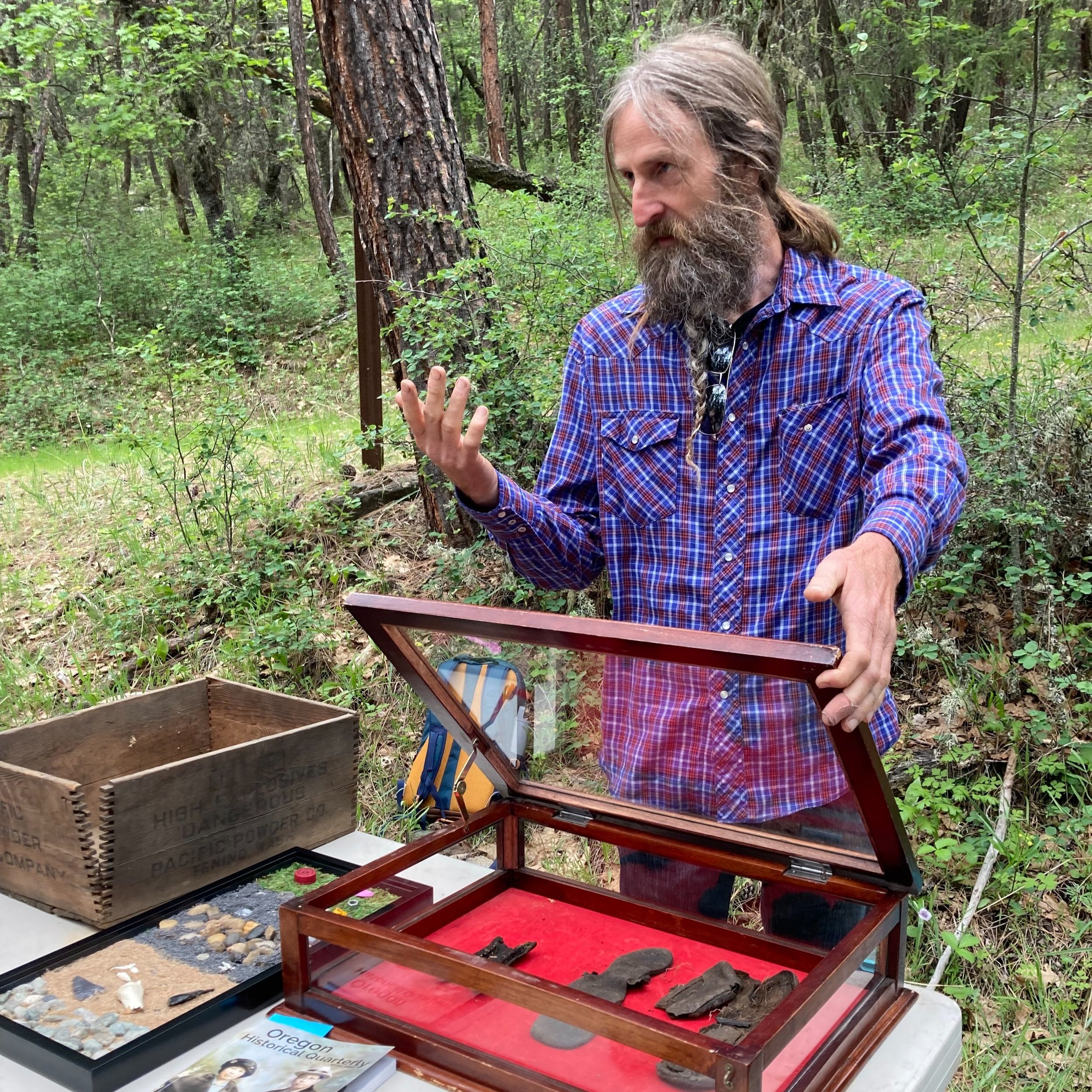
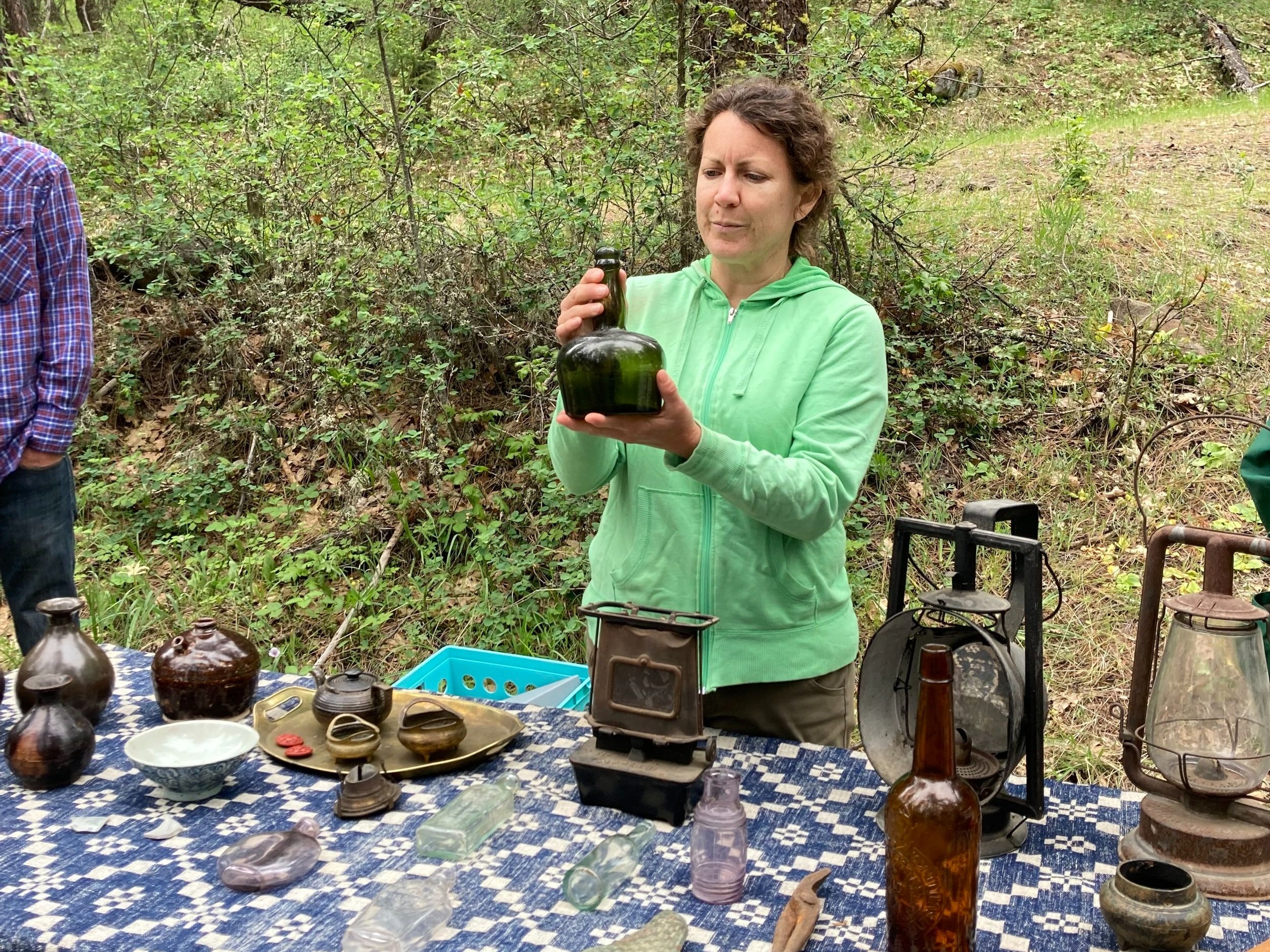
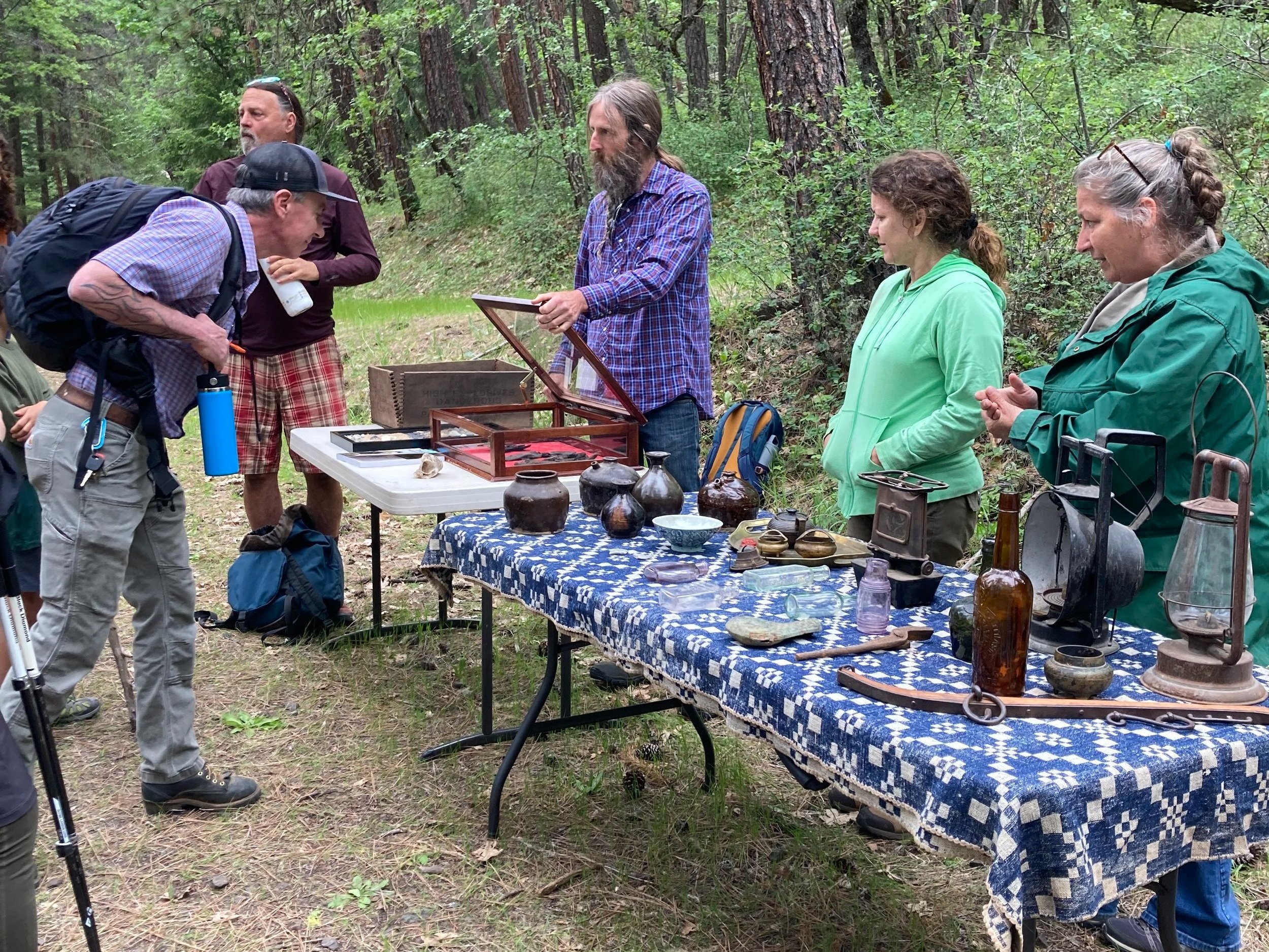
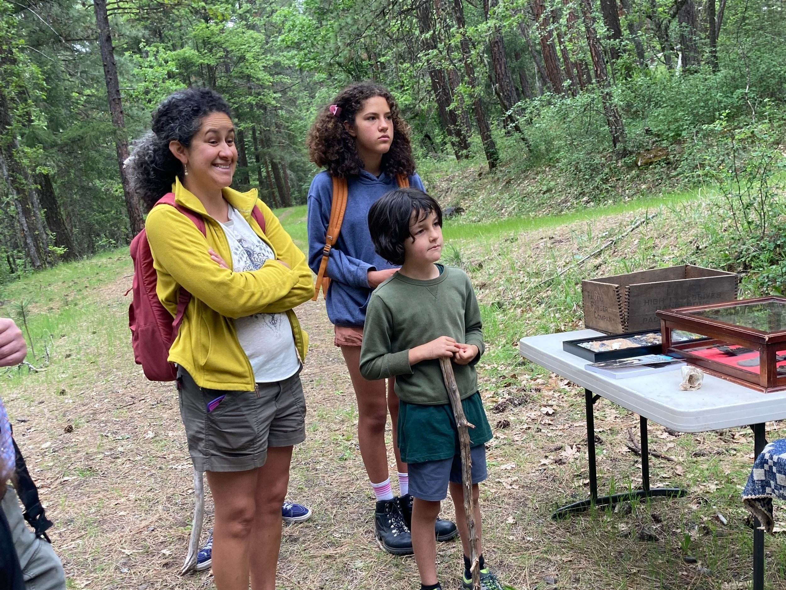
As my group began our hike toward the tunnel we were greeted by information stations along the way, staffed by volunteers eager to tell us about the findings of the project. We looked at old aerial photographs and maps as well as artifacts uncovered at the site, including the soles of rubber boots most likely worn by the laborers. We learned that much can be deduced from small shards of pottery and how it is possible to distinguish a European American camp from one that was primarily occupied by Chinese people through the types of pottery they left behind. Yet the centerpiece of the tour was definitely the tunnel itself. With each step we explored deeper into the unfinished cavern. All around us was evidence of blasting, drilling, and the inescapable realization that all that rock had to be carried out using only the power of man and beast. 

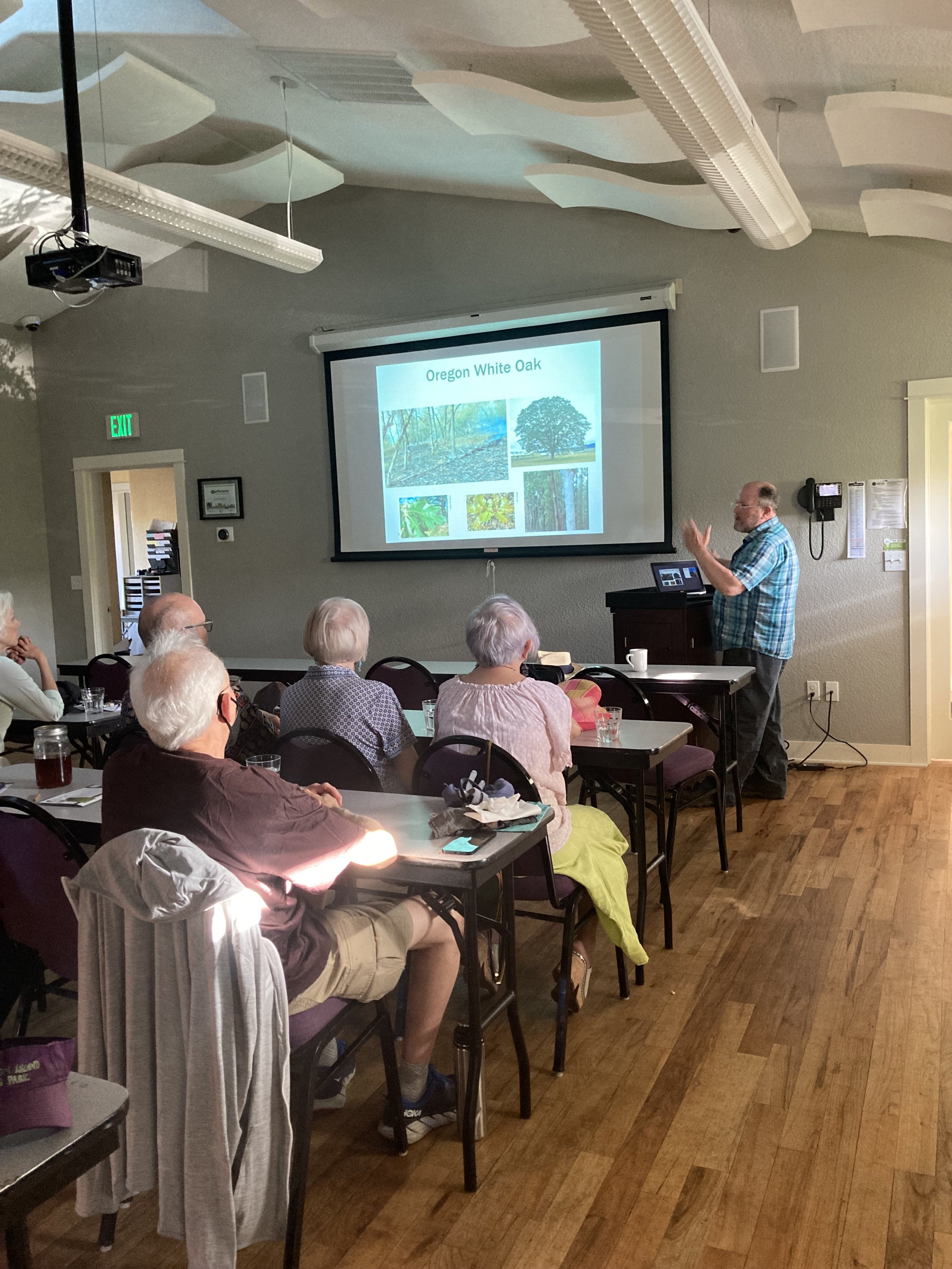
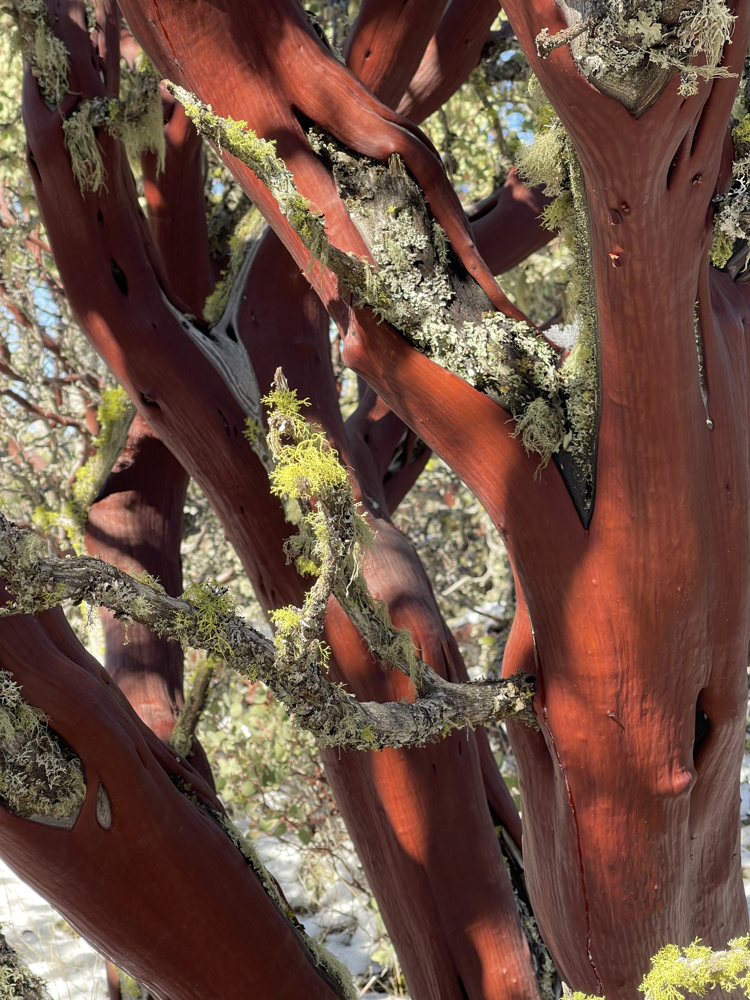
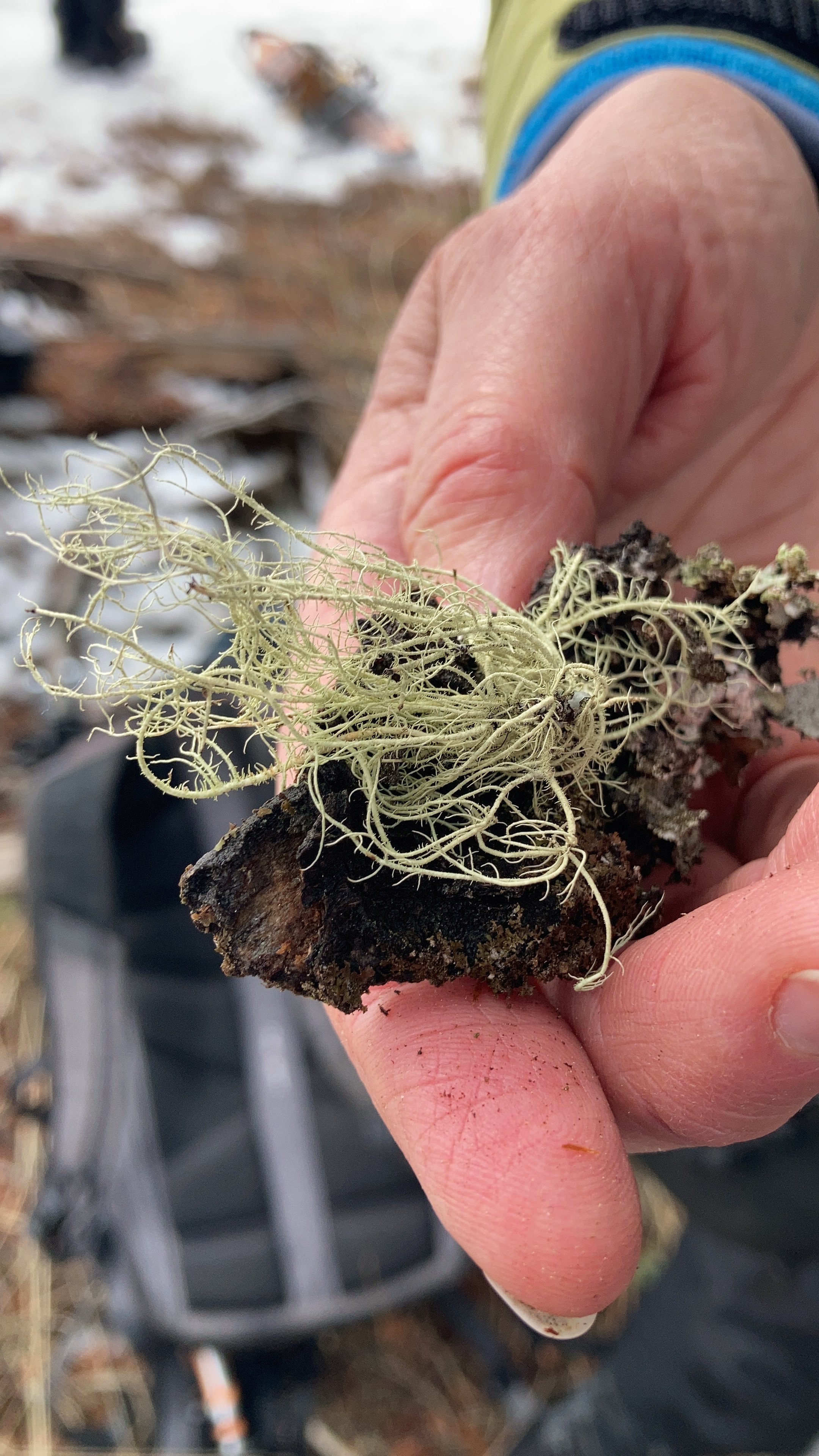
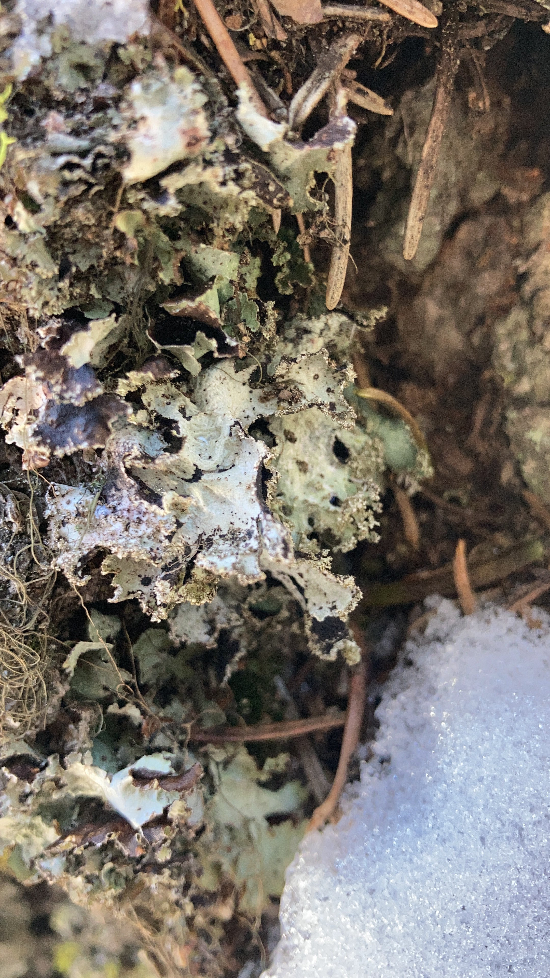
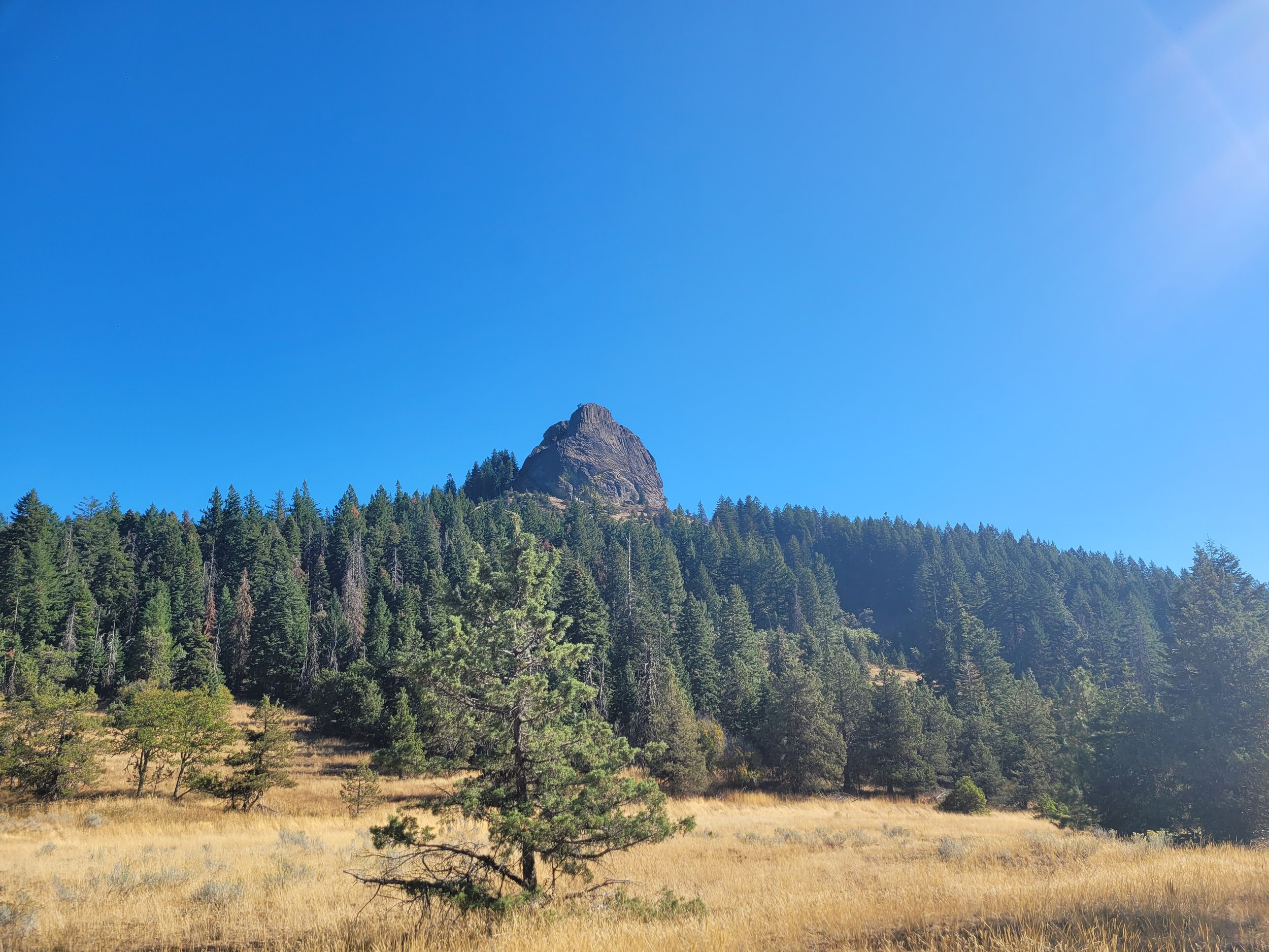
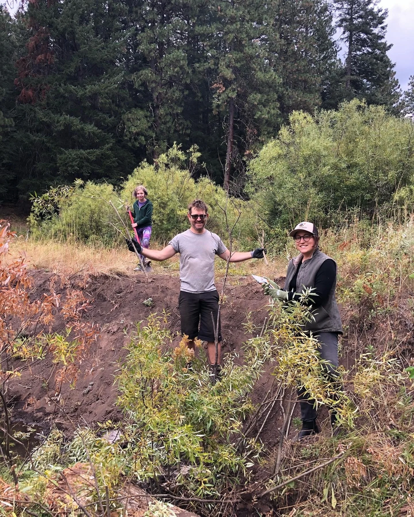
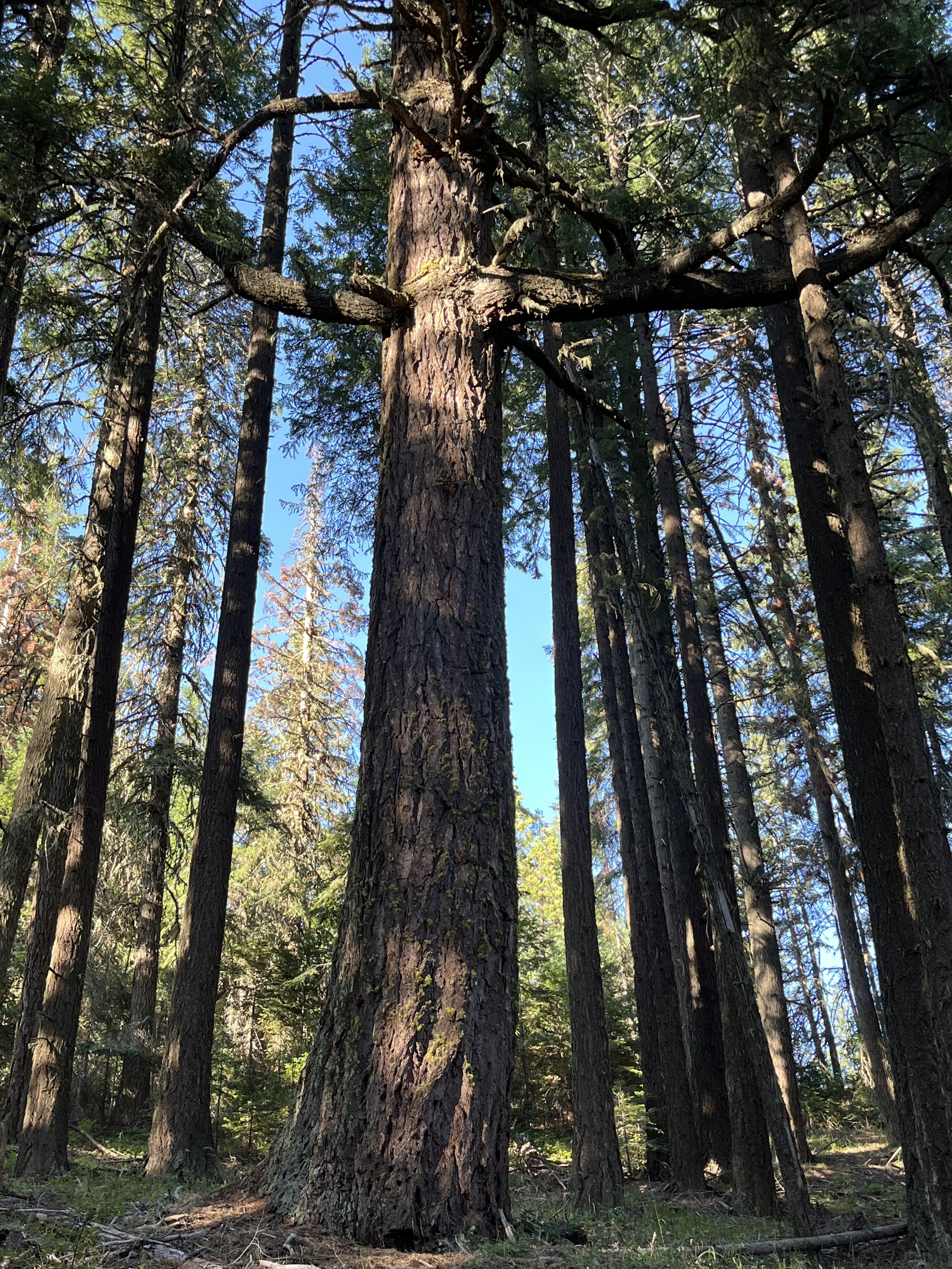
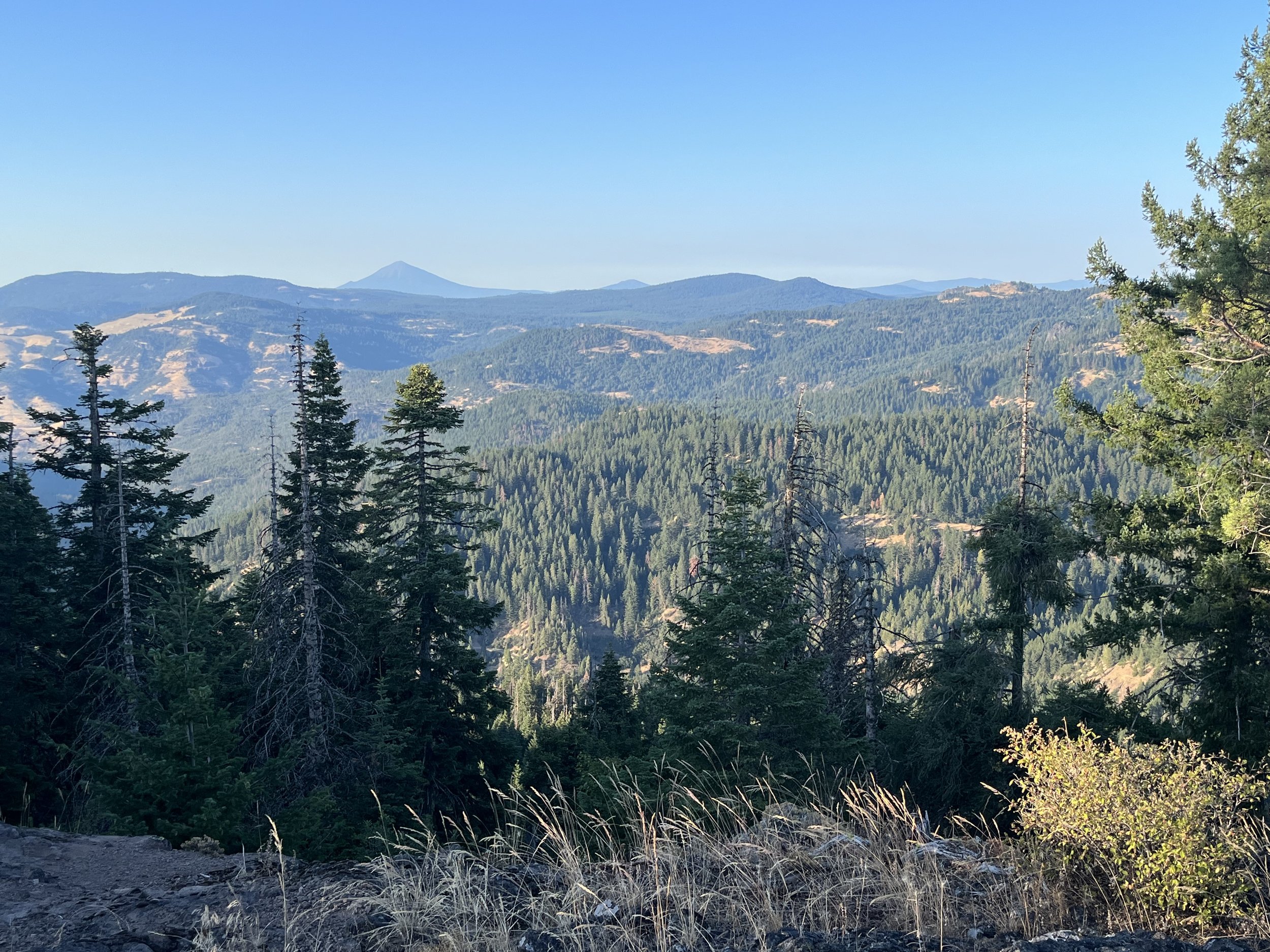
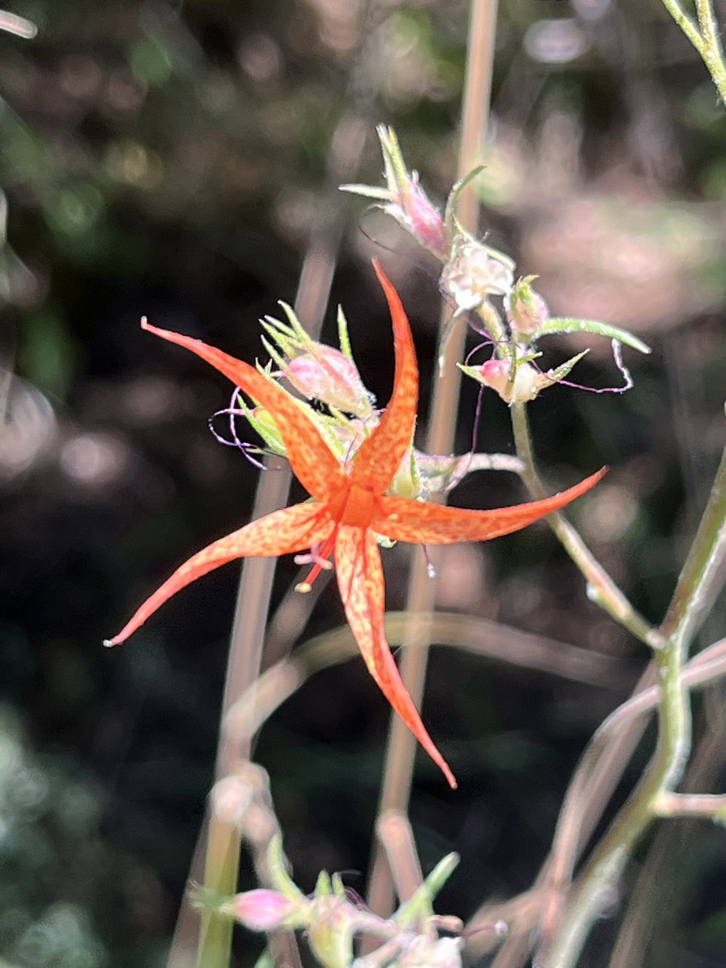
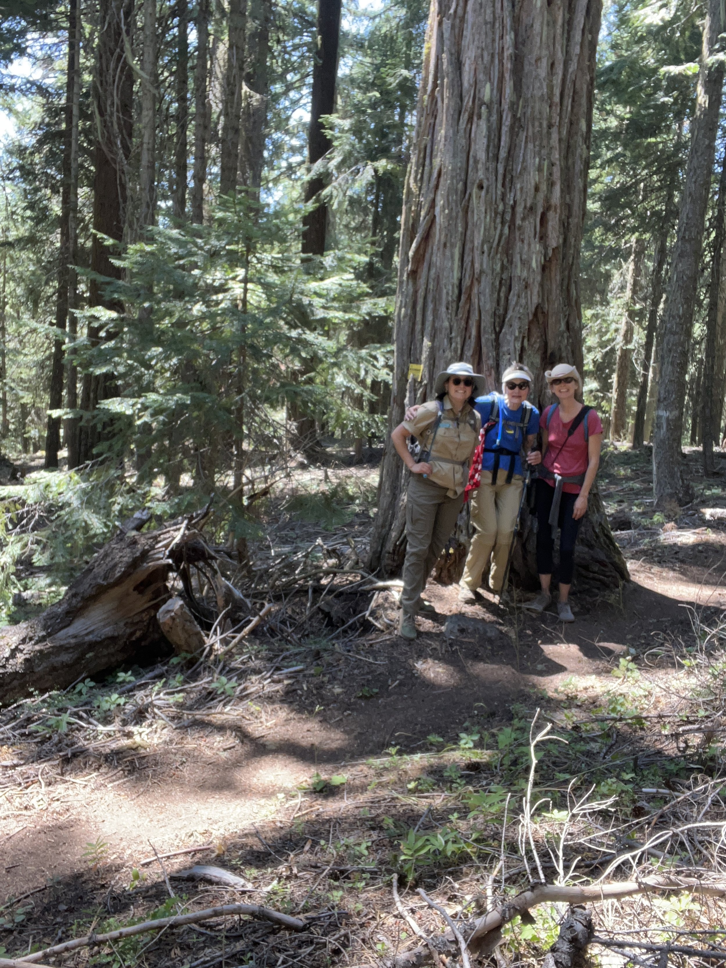
The Monument was originally set aside in the year 2000 for the purposes of biodiversity and it truly is a place of awe-inspiring confluences of geology and bio-regions sustaining many unique plant and animal communities. However, it is also a place with a rich and diverse human history that is also worthy of study and only adds to the Monument’s spectacular story.


American Settlers' "Back Door to Oregon": A History of the 1846-1860s Applegate Trail

May 12 & 13 - Applegate Trail Hike & Learn

On Friday, May 12 a group of history lovers converged on the Ashland Co-op Community Classroom to hear a presentation by Jeff LaLande on The Applegate Trail - American Settlers’ “Back Door to Oregon.” As far as local history buffs go, it doesn’t get much more impressive than Jeff. After moving to Southwestern Oregon from Washington, DC in 1969 –right after graduating from Georgetown University— he immediately dove into the region’s past as well as its geology, flora and fauna. He earned a master’s degree in archaeology from Oregon State University and then a PhD in American History from University of Oregon. Jeff is now retired from a thirty-plus year career as an archaeologist with the US Forest Service on the Rogue River-Siskiyou National Forest. An adjunct professor of history at SOU for over twenty years, he’s authored several books (including the just-published Jackson County Rebellion: A Populist Uprising in Depression-Era Oregon) and a number of articles published in quarterly journals. 

Jeff deftly guided us through an overview of the Applegate trail and the men who were instrumental in founding it. It was first laid out in 1846, with its most active period being between 1846 - 1860 by a party including Levi Soctt, David Goff, John Owen and brothers Jesse and Lindsay Applegate. It was known to Oregonians as Applegate’s Cutoff, the Southern Emigrant Road, South Road, or Southern Road and was intended to be a southern alternative to the Oregon Trail that was safer, quicker, and more secure. While it did not necessarily deliver on all of those promises, it was very significant in the settling of the Rogue Valley in the 1850s. Today, portions of the trail are paralleled by I-5 and Highway 66. It was even designated as a National Historic Trail in 1992 by the National Park Service. 

We began our tour on Saturday, May 13 with a caravan of vehicles heading up into the Cascade-Siskiyou National Monument. With Jeff as our leader, our first stop was the town of Lincoln on Highway 66. There, Jeff began the day with an overview of the indigenous people who called the Monument, the Rogue Valley, and surrounding areas home and how the town of Lincoln got its start. Next, we found ourselves at the Tub Springs State Wayside. While the spring itself was dry due to water quality concerns from our very wet winter, Jeff took us up the trail and into the surrounding forest. In addition to some well deserved breaks to do a little impromptu birding, we viewed the Historic Wagon Trail built by Jackson County in 1868 that used a similar path as the Applegate Trail. In fact, Jeff guided us to several areas where we could see remnants of the original trail itself as evidenced by compacted ground and displaced rocks and boulders that had been moved by early settlers clearing a path for their oxen and wagons. 

After stopping for a leisurely lunch alongside the Pacific Crest Trail, we meandered down Tyler Creek Road before stopping at an easily-overlooked site where the Applegate Trail was once again visible to the naked eye! It was a powerful feeling to stand on the same path that was traveled by the original European American Settlers of the Rogue Valley. Some of us reflected that even though it was less than 200 years ago, the world we are familiar with now was vastly different from what they encountered when they first laid eyes on the Valley. 

Walking directly along the path of the Applegate Trail!

Finally, we wrapped up our trip with a destination outside of the Monument: The Hill-Dunn Cemetery along the edge of Emigrant Lake. Jeff told us about many of the original settlers that were buried there, including James Howard Russel and his wife Anne Hill Russel as well as many of those who died in the Rogue River Wars from 1853-1854. We learned that it was James and Anne who were responsible for much of the impressive marble monuments represented in the cemetery. 

As we gathered as a group under the shade of a large oak tree, we all expressed gratitude to Jeff for his unsurpassed knowledge of the area. Not only did he make us laugh with his stories and marvel at the beauty of the Monument, he also impressed in us an appreciation for the sometimes-faint footprints of history on the landscape that can help us understand our own place in the unfolding history of our little corner of Southern Oregon. 


Fence Pull at the Green Springs Mountain Loop Trail

It was Saturday, May 20 and we were feeling lucky to have just missed a big heatwave that rolled through the Pacific Northwest, bringing with it temperatures in the 90s and plenty of discontent amongst Rogue Valley residents who wondered what had happened to spring. In fact, the Rite Aid parking lot where we met our intrepid group of fence pullers was pleasant in the 70s with the promise of even cooler weather as we climbed in elevation. It certainly takes a group of people passionate about the Cascade-Siskiyou National Monument to be excited about a day of manual labor and this was evidenced by smiles all around as we introduced ourselves. 

The project of the day was to remove barbed wire fencing from the Monument in an area around the Green Springs Mountain Loop Trail, directly off of the Pacific Crest Trail. The fencing was most likely a relic of when ranchers would graze their cattle in the Monument before it was designated. Unfortunately, while good at keeping cattle corralled, barbed wire fencing is both an impediment to the movement of wildlife through the landscape and possibly even deadly if an animal happens to find itself caught in it. There still remains over ten thousand feet of barbed wire within the Monument, and it was our task that day to reduce that number. 

When we arrived at the trail, we realized that we were not the only volunteers out on a Saturday morning. Also working on sections of the trail was a team of people from Pacific Crest Trail Association clearing fallen trees with chainsaws. John Duwe, the Bureau of Land Management (BLM) Interpretive Ranger, and Brian Long, the BLM Outdoor Recreation Planner, introduced us to the section of fencing that we would be attempting to remove that day. They also introduced us to our tools: wire loppers and hand saws. We all fell upon the fence with the enthusiasm of people who had not used hand saws in a while and soon became jealous of the chainsaws roaring in the distance. But despite the sun on our faces –it always feels hotter when you’re working hard– and the old, stubborn wood, we succeeded when a pile of trimmed wire and toppled posts accumulated. 

However, we weren’t done yet! Paying little heed to the upward slope and brush, we began following the line of toppled –and sometimes buried!-- wire as it blazed a trail up the ridge. Soon, we all began to experience the satisfaction of making quick progress as we cut wire, parceled it up, and passed it along to be carried out to the trucks. While it is known that barbed wire generally does not appreciate being put into any arrangement aside from a chaotic heap, with some gentle persuasion and determination we managed to roll it into bundles that were less likely to take an eye out. This truly felt like an innovation! 

After a well-deserved lunch complete with Tate’s Cookies and Santa Cruz lemonade, we decided that a final push was what we needed to complete our task, and complete it we did! When it was discovered that only 100 feet remained we kicked it into high gear and employed all of our hard-earned expertise to remove it in only ten minutes. With this last section taken out, we met up with the progress made by the fence pull last year. It was truly a moment of immense satisfaction. 

We all took a last, satisfied look at the loaded pick-up trucks and learned we had removed around 750 feet of fencing that day, along with more than ten thick, wooden posts and many green t-posts. It was a moment to celebrate and we all headed home with the knowledge that we had left the Monument better than when we had arrived. 


Oak Trees in the Monument

April 28 & 29 - Oak Tree Hike & Learn

On Friday, April 28, around twenty people gathered in the Community Classroom of the Ashland Co-op to hear about one of our unsung heroes of the Cascade-Siskiyou National Monument: oak trees. The presenter was Rich Fairbanks, a dynamic and gregarious retired forester with a degree in forestry and a Master’s degree in planning. Rich has worked for the U.S. Forest service for 32 years in fire management, planning and silviculture and has held various positions in the organization including Interagency Hotshot Crew Foreman, Division Supervisor and ID Team Leader for the Biscuit Fire Recovery Project. He currently owns a small forest management company. He and his wife live in the mixed conifer forest of the Applegate where they steward their land and do a considerable amount of under burning.

Rich started his introduction to oak trees by impressing us all with their great diversity. Not only are there multiple species represented in Southern Oregon, but they take many forms from the common White and Black Oaks to the majestic Canyon Live Oak and shrubby Huckleberry Oak. And while most people associate oaks with being a forest environment, Rich reminded us that that is only a portion of their varied habitats which include prairie, savanna and chaparral. 

In addition to providing wonderful shade to tired hikers, oaks also provide food and habitat to many other wild creatures. Their acorns are an invaluable source of food for many animals, especially in the late winter when many other food sources are scarce. They also support diverse understory plant communities. Due to their ability to wall off disease and dead wood, and thus create cavities, many animals make their homes in both living trees and dead snags. Armed with this new knowledge, we were ready to tackle the following day out in the field.

In the morning on Saturday, the day started with abnormally high temperatures for late April. But armed with sun hats, sunscreen, and extra water, our caravan of vehicles headed up into the Monument. We arrived at the trailhead for Buck Rock Trail and were immediately greeted by an abundance of oaks. Before we even began our hike, the trees began inspiring questions as a participant noticed an interesting round growth on an oak limb. Of course, Rich was quick with an answer and we learned that they are called galls and are made by wasps that trick the tree into creating a comfortable place for their larvae to hatch and develop. This was yet another example of the importance of oaks in the local ecosystem, and we hadn’t even left the parking lot! 

As we started down the trail, not only did Rich help us brush up on our tree and plant identification, but he also began pointing out often overlooked features of the landscape. From a layperson’s perspective, an area devoid of vegetation may not hold much interest. However, when looked at with the seasoned eye of a forester, it can tell a tale of clearcutting and compaction caused by heavy machinery decades ago. Rich also taught us that much can be learned even from an old tree stump if you know where to look. Venturing off trail, he showed us the squat remains of an oak tree cut down many years before. On the bleached and weathered wood he pointed out the remains of several burn scars indicating that before it had been logged, the oak had survived multiple low-severity fires. This testified not only to the frequency of fire in the local landscape but also to oak’s adaptations to survive such events. 

Rich pointing out the burn scars on an oak stump.

In fact, all around us we could observe the impact of almost a century of fire suppression. The forest was cluttered with tall brush, crisscrossed fallen logs and dense growth of young trees. Rich called this phenomenon densification and it is a major contributor to the rise in high severity fires that fire-adapted trees find much more difficult to survive. 

An example of densification observed along the trail.

In the end, all participants left with a more profound appreciation and understanding of oak trees and the important role that they play in many diverse ecosystems in the Cascade-Siskiyou National Monument and Southern Oregon in general. Rich’s storied and extensive knowledge of forest species and management impressed everyone – along with his sense of humor! I know that when I go out into our local landscapes, I will pause a little longer to appreciate our complex and wonderful oak trees.


2023 Monument Research Symposium

April 6, 2023 - Monument Research Symposium

Every year, the Friends of the Cascade-Siskiyou National Monument is delighted to award a number of grants to undergraduate and graduate students for faculty-supervised research projects that enhance the understanding, appreciation, preservation and/or protection of the Cascade-Siskiyou National Monument. These research projects can, and have, taken many forms including the realms of biology, environmental sciences/education, sociology, arts, humanities, and business. 

An essential component of receiving this grant is the presentation of the students’ research at our annual Monument Research Symposium. This research represents many hours spent in our beautiful Monument gathering data and then countless more analyzing it. To ask our three grant recipients from 2022 to distill all of their findings into a 20 minute presentation is no small feat, but they delivered with flying colors. 

Our first presenter, Thomas Hillard, is an undergraduate student in Earth Science and Biology at the University of Oregon. He worked with faculty supervisor, Jad D’Allura to map out the rock formations in Jenny Creek Falls as well as a region of tuffaceous rocks, debris flow and lava around Pilot Rock. Specifically, he looked at upper oligocene volcanic stratigraphy in the Colestin Formation and Roxy Formation. Thomas gave us a unique insight into how the geology of the Monument can have a stark impact on the distribution of plants and soils via the movement of water. 

Volcanic Lava Flows - Thomas Hillard

Our second presenter, Hilary Rose Dawson, a Ph.D. student from the University of Oregon, took a departure from geology to focus on biology, but still left us firmly grounded in the soil! Hilary used her Monument Research Grant to explore truffle species found in the Cascade-Siskiyou National Monument. Now, most people’s experience with truffles begins and ends in a culinary context, and while there are certainly a handful of culinary truffles found in Oregon, we also learned about the fascinating diversity of non-culinary truffles found just below the surface. These truffles have scents ranging from artificial banana to burnt rubber and serve a variety of essential ecological functions. However, humans aren’t exactly known for their sensitive noses so it was essential for Hilary –aided by her sister, Heather Dawson–to employ a canine friend named Rye! While not physically present at the symposium, you could definitely consider Rye one of the stars of the show. It was with his invaluable sense of smell, rewarded each time he found a truffle with a throw of a tennis ball, that Hillary was able to catalog around 20 species of truffles in only two forays into the Monument. She hopes to go on another foray with Rye this spring and continue DNA analysis of the truffles she has found, including some possibly undescribed species. 

Rye finding a truffle! - Hilary Rose Dawson

Our final presenter, Heather Stewart-Ahn, a Master’s student in Biology at Eastern Washington University, focused a sharp eye on an often overlooked resident of the Monument: Lichen! Lichen consist of a symbiotic relationship between a fungal partner and photosynthesizing partner, such as green algae or cyanobacterium. In particular, Heather looked at the rare lichen Umbilicaria phaea var. coccinea. This tiny but mighty lichen is most abundantly found on rocks in exposed areas with profuse basalt in proximity to local waterways. However, what really catches the eye is its bright red color, setting it apart from the much more common brown Umbilicaria phaea var. phaea. Through her survey, Heather identified several new sites within the Monument where this lichen is found and opened up many areas for further study including population genetics and distribution models to explore why it occurs in certain places and not others. There is also the basic query of why this lichen is red in the first place! This particular question is further complicated by Heather’s discovery of chimeric thalli, or lichen with both brown and red varieties found on the same thallus. 

U. phaea var. coccinea (red) and U. phaea var. phaea (brown) - Heather Stewart-Ahn

If you are interested in learning more about these projects, the symposium can be watched in its entirety on our YouTube channel at https://www.youtube.com/watch?v=CEePTxlJKnI

With our 2023 Monument Research Symposium a resounding success, we are looking forward to getting to experience the unique projects that students will propose for this coming grant cycle. Applications are now open and information can be found at https://www.cascadesiskiyou.org/programs . The deadline for applications is May 12, 2023 at 11:59 PM PST.

Beginning Wildlife Tracking

February 24 & 25, 2023 - Hike and Learn

We had a full house for our Friday evening lecture despite snowy weather that prevented some from venturing down the mountain. Our leaders, Collette Streight and Robin Bliss-Wagner, kicked off the lecture by explaining that tracking, typically thought of as identifying an animal by looking at prints it left on the ground, is much more than that. We learned that tracking, when done in a holistic way, is about connecting with wild animals, building relationships with them, and understanding the world through their points of view.

Collette and Robin taught us that every animal makes a unique signature on the landscape. A signature is the collection of signs an animal makes when going about its daily life. Examples include tracks, scat, chews, scrapes, lodges, burrows, nests, hair, and feathers. We then learned the six main questions to ask ourselves when we encounter a track or sign to ignite our curiosity and lead us deeper into the animal’s world:

  1. WHO made the track or sign? Was it a male or female? How old was he/she?

  2. WHAT was she/he doing? Stalking, walking, trotting, galloping, leaping, stopping, sitting, turning his/her head?

  3. WHEN was the track or sign made?

  4. WHY was the animal doing what it was doing at that time and place?

  5. WHERE did the animal go? Where is he/she now?

  6. HOW did the animal feel when it made the track or sign? In other words, if this was me, how would I have felt?

Then we explored in detail the first question of tracking – who. We looked at photos, drawings, and field guides to learn about the individual prints and track patterns of many different animals who call the Monument home.

On Saturday, 15 of us carpooled up to the Buck Rock Tunnel trailhead in the glorious sunshine. On the way there, we stopped to examine a gray fox, who unfortunately had been killed by a car the previous night. We noticed its size, color pattern, shape, and then looked closely at the bottom of its feet and its claws before we continued on our way.  

Equipped with field guides, tape measures, notebooks and pens, we explored the wildlife tracks and sign we saw in the snow in the parking lot, on the fire road, down in the ravines, up on the ridges, and in and around trees. We followed mule deer and brush rabbit trails to see where they would lead us. We asked questions, awakened our senses, listened to stories, played a game, and even spent some time pretending to be animals.

All and all, it was a beautiful, fun, and inspiring day during which we learned tools that we can use from now on to connect with and learn about the wild critters who live in the Monument and all around us.  

Bryophytes and Lichens of the Monument

January 20 & 21, 2023 - Hike and Learn

We kicked off our 2023 season of programming with a bang! Not only did our Bryophytes and Lichens of the Monument Hike & Learn with Scot Loring sell out, but each one of us who attended got to deepen our appreciation and knowledge of these wildly diverse and resilient organisms.

On Friday evening, we enjoyed a two-for-one lecture from Scot. He gave one lecture on bryophytes (mosses, liverworts, hornworts) and a second lecture on lichens. Scot taught us what each of these organisms are, explained the many ingenious ways they reproduce, and shared that they can live in the hottest, highest, coldest, and harshest places on Earth! Scot brought along some specimens that he’d recently collected so we got see, smell, and touch several different types of bryophytes and lichens.

On the following day, 18 of us donned snowshoes and took a relaxed walk on the Pacific Crest Trail near the Hyatt Lake Campground in the sun and sparkling snow. Scot stopped us all along the way to look at the incredible variety of lichens and a few bryophytes we found growing on tree trunks and branches, rocks, stumps, and more. We used hand lenses, magnifying glasses, and the “magnifier” on our iPhones to get a close up look at some of the ones we spotted. We lunched under a lovely old conifer covered in lichens and shared stories, browsed through field guides, and basked in the warmth of the sun.

We’d like to give a shout out to the Medford District BLM and the US Forest Service for the loaner snowshoes. And, of course, a huge thank you to our Board member Scot for sharing his passion and expertise with us!

Sensory Exploration, Creative Inspiration, and Writing

October 14th/15th Hike and Learn

The weekend of October 14 & 15, a small group of us were deftly guided by the dynamic writing workshop facilitator, Katie Boehnlein, to slow down, pay attention to nature through our senses, and write from our experiences and creative impulses. On Friday evening, Katie started by sharing with us some of her Monument-inspired writing to give us an idea of what is possible as well as to give us permission to play and be free with our writing.

Then, she prompted us with photos of different places and plant and animal species in the Monument as well as clips from the movie “Deep Green: Cascade-Siskiyou National Monument”. Deep Green, produced by Mark Tribe, is a 24-hour-long, single-take landscape film with immersive sound. She gave us time to write for several minutes after each prompt and when we were done, she invited us to share what we’d written with the group if we wanted.

It was fascinating to hear about what caught other people’s attention and to start to see things from their perspectives while listening to them read what they had just written. While it took a bit of courage to read aloud, Katie encouraged us to share the things that we liked about each other’s writing, which was both uplifting and emboldening. It definitely made us want to write more!

On Saturday morning, we drove to the Pilot Rock trailhead and made our way to the Lone Pilot Trail where, once again, Katie brought things to our attention that we would have missed without her. She flexed her naturalist and outdoor educator muscles to talk to us about the history, geology, and wildlife of the place. She had us be still and free write about what we experienced or write using the prompts she offered us. We got to share our writing again with one another and ended up feeling like New York Times bestselling authors when the other participants shared what they admired about our pieces.

It was a spectacularly beautiful day, and in the meadows and forest extending south of Pilot Rock, it felt downright magical, as we put pen to paper and wrote poems, creation stories, love letters, private thoughts, and more.

Words by Collette Streight, photos by Jonnie Dale Lieberman.

Recognizing Suzi and Bob Given

At our 2022 Gala on November 11th, the Friends of the Cascade-Siskiyou National Monument presented Suzi and Bob Given with a dramatic photograph of their property, taken from the top of Hobart Buff. The photograph is a 10-photomerged panorama taken by Al Case, photographer and SOU faculty, and fabulously printed to archival standards by Tom Glassman of Medford.

The photograph came with the following framed inscription: “We Honor Your Support, Inspiration, and Vision of the Friends of the Cascade-Siskiyou National Monument and Your Efforts to Protect and Increase Awareness of the Monument’s Biological Diversity, Landscape, and Cultural History”.

The Friends Board of Directors also announced that it has named all of its outreach programs in Suzi’s honor. From now on they will be called THE SUZI GIVEN COMMUNITY EDUCATION PROGRAMS, which will include: Youth Summer Camps, Summer Interpretative Ranger Programs, Inspiring Connections Lectures, Hike & Learns, and the Sunday Hiking Series. This will include our collaborations with SOU’s Environmental Education Program, Environmental Science & Policy Program, and Native American Studies.

There are few people that have done as much as Suzi and Bob to support the Monument and the Friends of the Monument. Besides their support for our mission to inform, educate and support the protection of the Monument, Suzi and Bob have supported and funded both land acquisitions and conservation easements in and around the Monument, environmental education programs with the Friends of the Monument, and many other programs in our community and elsewhere.

Both of them are leaders in the Green Springs Community. Bob has been instrumental in his work with the Green Springs Rural Volunteer Fire Department; the fire station is literally named after him. Suzi was one of the original members of the Friends of the Monument back in 2001 and for most of the time since she has been on our Board of Directors. Suzi also has been a strong community advocate and has been a large part of the leadership of the Friends of the Green Springs nonprofit group for many years.

Thank you Suzi and Bob for all you do!

2nd Friends Gala - A Resounding Success!

We are thrilled by the success of our Friends Gala. To those of you who came out on November 11, 2022 to celebrate with us and support us, thank you! It was a festive evening of camaraderie, connection, delicious food and drinks, fundraising, and "Friends"raising in the Grand Ballroom at the beautiful Ashland Springs Hotel.

We'd like to give a special thank you to Bob Wick for an inspiring and informative presentation. According to Bob, former Wilderness Specialist and Outreach Coordinator for the Washington office Bureau of Land Management National Conservation Lands, "The national monument encompasses a really cool area south and east of Ashland and was designated specifically because of its biodiversity. In addition to being a national monument, the area includes a segment of the Pacific Crest Trail, CA-OR National Historic Trail, designated wilderness and a wild and scenic river -- a grand slam of conservation designations. Species from the Cascades, Klamath Ranges and Great Basin all intermingle here. The Friends of Cascade-Siskiyou do a great job helping protect and interpret the area."

We are also grateful for the businesses and individuals who donated items and services to our silent auction, the wineries who poured wine and donated wine for the Gala, and the volunteers who helped us pull off the event. We couldn’t have done this without you.

All in all, we feel very lucky to be a part of such a passionate community of like-minded folks who hold the Cascade-Siskiyou National Monument near and dear to their hearts.

Community Diversity for Biodiversity

September 16th/17th Hike and Learn

On Friday evening, Jeanine Moy, director of the Vesper Meadow Education Program, gave an inspiring talk sharing the details of how the organization came to be and all that they have accomplished in the Vesper Meadow Restoration Preserve since 2018 when it was established. The preserve is composed of two interconnected upland wet meadows surrounded by mixed conifer forest in the southern Cascades. The parcels total about 1,000 acres and are bordered by the Monument and other BLM lands.

Jeanine stewards the preserve and organizes opportunities for the community to get engaged in hands-on restoration projects outdoors. Additionally, there are tribal partnerships for native food cultivation, environmental education programs, community science and monitoring projects, and a growing list of artists-in-partnership that contribute to the network.

On Saturday morning, we started our hike at Buck Prairie II, a popular cross-country skiing destination in the Monument. We hiked along an old wagon road to the restoration site, admiring native grass species like Roemer’s fescue (Festuca roemeri), and savoring the delicious scents of the seeds of yampah (Perideridia spp.) and Lomatium. Elk enjoy roaming these meadows, evidenced by the tracks we noticed in the mud.

Once we arrived at Latgawa Creek, the work began: low-tech process-based restoration strategies. In other words, we behaved like beavers! Beavers impact natural stream flows and transform landscapes by gnawing down trees and building dams and lodges; they were a big part of this ecosystem before cattle arrived on the scene. We mimicked this natural process by cutting back shrubby willows (Salix spp.), planting the cuttings in the creek as if they were stakes, and weaving smaller branches to create a blockage in the creek. This will aid in sediment deposition; in many places the creek’s bottom is down to bedrock, which is not ideal for aquatic creatures or plants trying to regenerate along the waterway. It will also aid in water retention in the meadow by slowing down the water and allowing it to spread and sink on the land. There is much more work to be done on the preserve as well as throughout the Monument, so please look out for ways you can plug in to help.

The Friends would like to thank Jeanine and Vesper Meadow for offering a fascinating learning experience and collaborating with our community on this project.

Improved Wildlife Corridor!

National Public Lands Day 2022

On Saturday, September 24, a group of hardy souls celebrated National Public Lands Day by removing about 1,000 feet of barbed wire fencing in the Cascade-Siskiyou National Monument.  After donning gloves and grabbing tools at the Green Springs Mountain Loop trailhead, we headed up the Pacific Crest Trail (PCT) about a half mile to where the fencing spread out from the trail in both directions.

We quickly divided into two teams – Team Extreme who charged fearlessly up a steep slope to remove fencing that ran east of the trail and Team Daniel who boldly took on the fence to the west of the trail. Each team cut the strands of barbed wire at the metal t-posts, folded them up accordion-style and placed them in a pile. The t-posts were removed from the ground with a tool designed for just that purpose and were also staged for later hauling to the parking lot.  

Each team worked with good cheer and determination, uplifted by the calls of red-breasted nuthatches, pileated woodpeckers, and chickadees, moving further into the forest to ultimately remove thousands of feet of barbed wire and dozens of t-posts. On a team of his own, Brian Long, the Recreation Planner for the BLM, was tasked with removing the wooden posts that were immediately adjacent to either side of the trail that had been used to support a gate that crossed the PCT adjoining the two sides of fencing.

After a couple of hours, prompted by John Duwe, BLM’s new Interpretive Specialist, we began the long haul of materials from the woods to the parking lot where the BLM truck awaited. When the last of the materials were tightly secured for transport to a scrap metal recycler, we had lunch while celebrating that our efforts that day will make life easier for the wildlife who call the Monument home.

Inspired by the energy and motivation shown by our volunteers, we are already thinking about our next Monument stewardship day!

 Words and photos by Executive Director Collette Streight.

Historic Buck Rock Tunnel

Sunday Hike #8 - Historic Buck Rock Tunnel, 8/28/2022

For the final Sunday Hike of the summer, we went back in time to the late 1800s, deep into the Monument to the site of the Buck Rock Tunnel, a railroad construction project that was never completed, left abandoned for decades, and, years later, rediscovered as an archaeological site with a fascinating story to tell.

Here’s the short version. By the mid-1800s, the Transcontinental Railroad had been completed for several years, but a north-south route in the western US was still in development. The final section of the route was the most challenging to construct, across the border of Oregon and California through what is now the Monument. Of course, the Monument is known for its biodiversity, a product of the complex “knot” of terrain where several mountain ranges and ecosystems converge. An engineer hired by one of the railroad companies, John Quincy Adams Hurlbut, surveyed several options before deciding that the Buck Rock Tunnel route was the best option, mostly due to the lower grade. Work started on the tunnel in 1883.

Most of the railroad workers were Chinese immigrants, earning more than what they would working for a farm, but less than their white counterparts on the job. Working for the railroad also came with much greater hazards: dynamite explosions, long hours of hard manual labor, and heat exhaustion, as well as treacherous terrain and an abundance of poison oak, which you can still witness on a hike to the site to this day. They worked day in and day out on both the east and west portals, tunneling on each side to eventually meet in the middle.

However, in 1884 the funds ran low. The tunnel was abandoned. The railroad company prioritized another shorter option over Siskiyou Pass, where I-5 currently runs. That route still exists today, but it’s not often used. Though less miles of track were laid, the grade was much higher; this was fine for the short-term, but over the years the trains found difficulty with the elevation change and snow piling on the tracks. The Natron Cutoff was constructed over the next several years and completed in 1926, which took trains east of the Cascades through Klamath Falls at a much lower grade – where the Amtrak and other routes still run today.

The Buck Rock Tunnel was left unfinished and abandoned for decades until a BLM forester rediscovered the site in the 1970s. Since the tunnel was left mid-construction, it presents a unique look into the building methods employed back in the day. An archaeological investigation found evidence of day-to-day life, like ceramic pieces (some with Chinese calligraphy detail), traces of temporary dwellings, and scraps of food that had been preserved for years. In 2014, the BLM acquired this piece of land and designated it as a historical and cultural site within the Monument. One hopeful future for the Buck Rock area is an interpretive trail to the tunnel entrances, which are currently what we’d call “off the beaten path.”

I really enjoyed sharing this story with a group of 20 hikers, including Friends board member Howard Hunter, who offered a lot of guidance and support in establishing the Sunday Hiking Series for the 2022 season. I would like to give credit to Chelsea Rose, SOU anthropologist and historical archaeologist, who has published numerous papers and articles about her research at the Buck Rock Tunnel site, as well as the Oregon Historical Society and the Chinese Diaspora Project, all of which informed my research on this interesting subject.

Thanks for a great summer, and happy trails!

Words by Interpretive Ranger Sarah Martinez. Photos by Sarah Martinez and Board Member Howard Hunter.

Nature Day Camp - A Success!

September 7, 2022

As the long summer days slowly wane, the Friends of the Cascade-Siskiyou National Monument summer K-12 educational program has also come to a close. We are thrilled by the success of our very first season of Nature Day Camps in partnership with The Crest at Willow-Witt and BLM’s Medford District. Between June-August 2022, we offered nine full-day environmental education programs at two different sites within the Cascade-Siskiyou National Monument. In total, our Interpretive Rangers served over 200 local Kindergarten - 6th grade camper Monument Days! Participating students traveled from all over the Rogue Valley to join us at the Greensprings Mountain Loop and Hobart Bluff trails, including places as far as Eagle Point and Northern California.

Friends Executive staff, Board Members, and Interpretive Rangers recently met with lead staff and educators from The Crest to celebrate our educational accomplishments for the year and to discuss potential improvements to our “Monument Days” for next year. We look forward to planning new program sites, new lesson themes and topics, and to increasing our capacity to connect with additional local communities in future.

Words by Interpretive Ranger Elizabeth Mackey.

Scenic Jenny Creek

June 24 & 25 Hike and Learn

A group of us had the pleasure of learning from Tim Montfort, a long time Hydrologist with the Bureau of Land Management. He presented on the acquisition and extensive restoration work of the former Box O' Ranch. Jenny Creek, a tributary of the Klamath flows through the site and is the main focus of the restoration work. Over years the ranch sustained damage from continuous cattle grazing which degraded the meadows and riparian habitat. Once the BLM acquired the property, restoration work quickly began recontouring the stream, removing ditches, and replanting riparian vegetation. The Soda Mountain Wilderness was designated in 2009 fully encompassing and further protecting the site. In 2019, Jenny Creek was designated as "Scenic" under The Wild and Scenic Rivers Act. These numerous protections help preserve this fragile and diverse ecosystem as refugia for The Jenny Creek Sucker and other important species.

After our Friday evening talk, we ventured out on a hot Saturday in June to visit the site. Tim took us on a tour of the many obvious historical elements present there, barns, farm equipment, and now remediated irrigation ditches. We visited the banks of Jenny Creek to observe lush patches of Willow, Oregon Ash, and Ponderosa Pine. As we walked along, we compared before and after photos turning back time to examine how restoration truly works. It was amazing to witness the vast effort put in to restore and improve this landscape. A lot has happened in the last 30 years to see what we saw that day, and there is still more work to do. While not the most accessible site, if you are fortunate enough to visit, you can take in the sweeping meadows, interesting history, and rejuvenating Jenny Creek. While you're there, close your eyes and imagine what another generation of conservation will have in store for this landscape.

Words and photos by FCSNM Board Chair Daniel Collay.

Porcupine Mountain

Sunday Hike #7 - Porcupine Mountain, 8/14/2022

On our longest hike yet, we made it to the top of Porcupine Mountain, a lesser known peak tucked between Pilot Rock and Soda Mountain just outside of the Soda Mountain Wilderness Area. We started our journey at the Pilot Rock Trailhead, taking the spur trail to link up with the PCT and heading “north-bound” on the trail. After about 3 miles one way on the PCT, passing by the signed Porcupine Gap, we veered off trail, marked by a characteristic old juniper snag. Like Rhyolite Ridge (which we hiked a few weeks back) this hike requires a bit of off-trail navigation, this time along an old, decommissioned road to the plateaued summit.

The ascent to Porcupine Mountain isn’t too treacherous, but for some fallen logs, rocks, and brush piles used to make the road impassable to OHVs, which is important for the protection of the sensitive vegetation and lichens that populate this area. However, it’s much steeper than any sections of the PCT. Treading carefully, we hiked up to the summit, catching views to the south of Mt. Shasta and the Iron Gate Reservoir along the way. Once at the top, there are several viewpoints to take in. Continuing along the ridge-like summit, we were able to get 360 views towards Pilot Rock (our constant companion on this trail), Mt. McLoughlin, Soda Mountain, and all the spaces in between. We enjoyed our lunch with a view, and retraced our steps back to the PCT to get back to the trailhead, totaling about 8.5 miles!

With August comes some signs of the approaching fall. Red Baneberry (Actaea rubra) with its bright red berries was plentiful in shady sections of the PCT. We enjoyed some thimbleberries (Rubus parviflorus) and noticed yellowed Western wild-cucumber (Marah oreganus) waning away. There were some marvelous old-growth Douglas-fir trees, as well as a few Incense cedars and Ponderosa pines of enormous size. The Friends’ Executive Director, Collette Streight, was able to join us on this trek and encouraged us to take a closer look at the bark of some of the older trees where we spotted ever-so-tiny pin lichens growing! Too small to take a photo, but worth investigating on your next hike in an old-growth stand.

Check out this hike next time you’re eager for a grand adventure in the Monument! It should be noted that a more robust vehicle could make it to the end of Pilot Rock Road, to the Porcupine Gap trailhead, which would shorten this hike to about 3.5 miles round trip. As always, be sure to consult a map, bring lots of water, and tread carefully in our beautiful public lands.

Words and photos by Interpretive Ranger Sarah Martinez