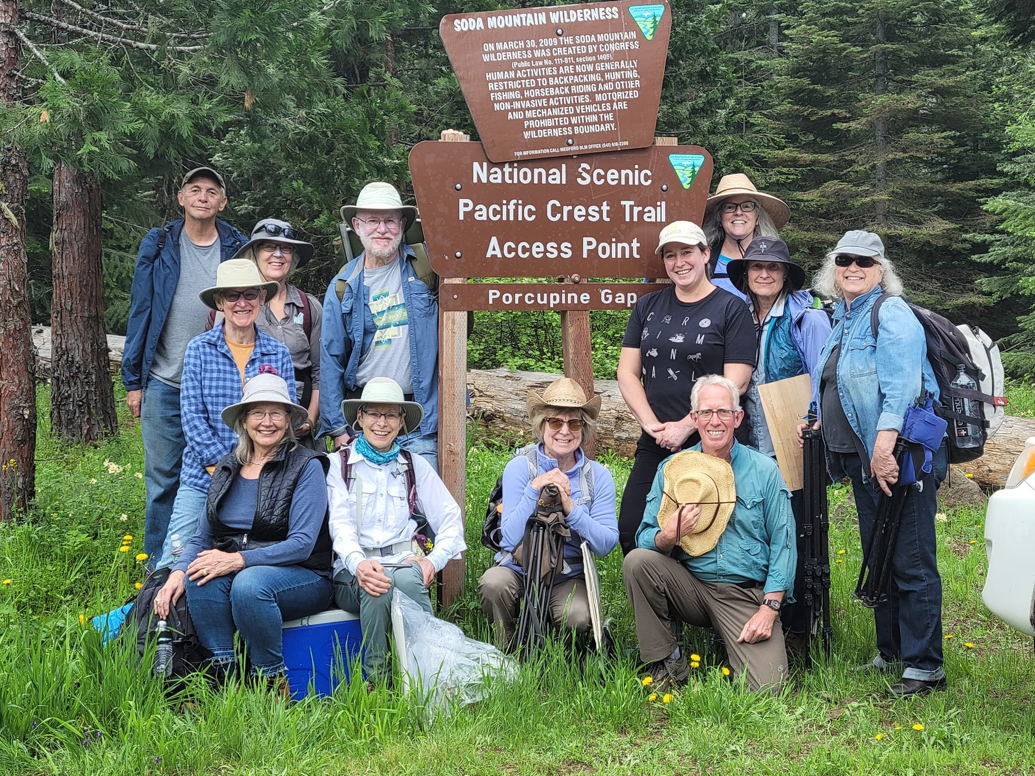

Sunday Hike #6 - Lost Falls, 8/7/2022
Lost Falls is known as an easy hike in a location that’s hard to get to. The drive involves taking the windy Shale City Road, past the well-marked turn for the trailhead to Grizzly Peak, beyond the turn for Willow-Witt Ranch, into the woods and down a few barely-marked roads until you come to a little clearing with enough space for a few cars to park. Unlike some of the other roads in the Monument, this is one that any car can handle, as long as you know the right direction. With a little internet research, you’ll find several blogs that describe the way to get to this trailhead. Whatever you do, don’t rely on Google Maps!
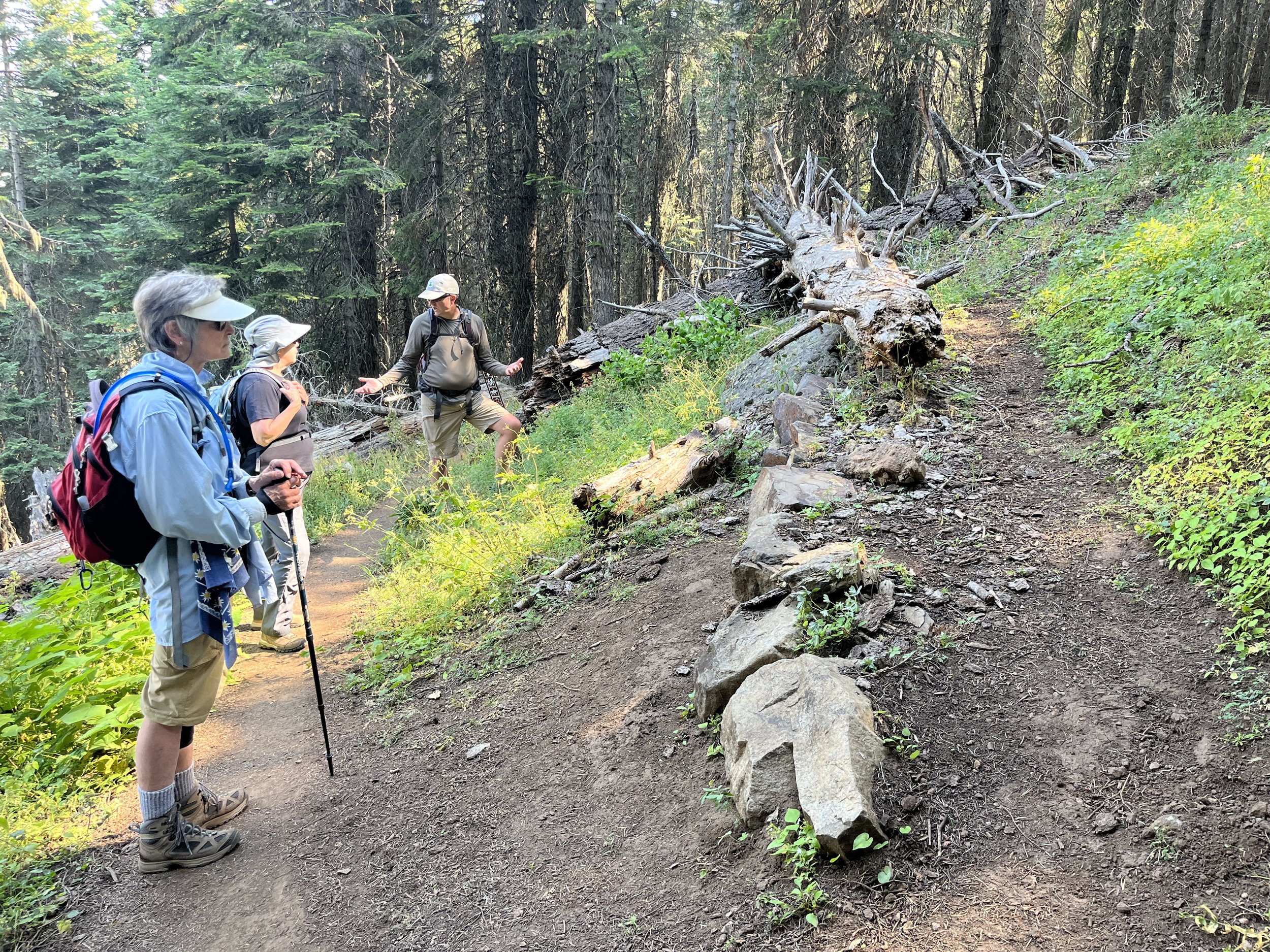
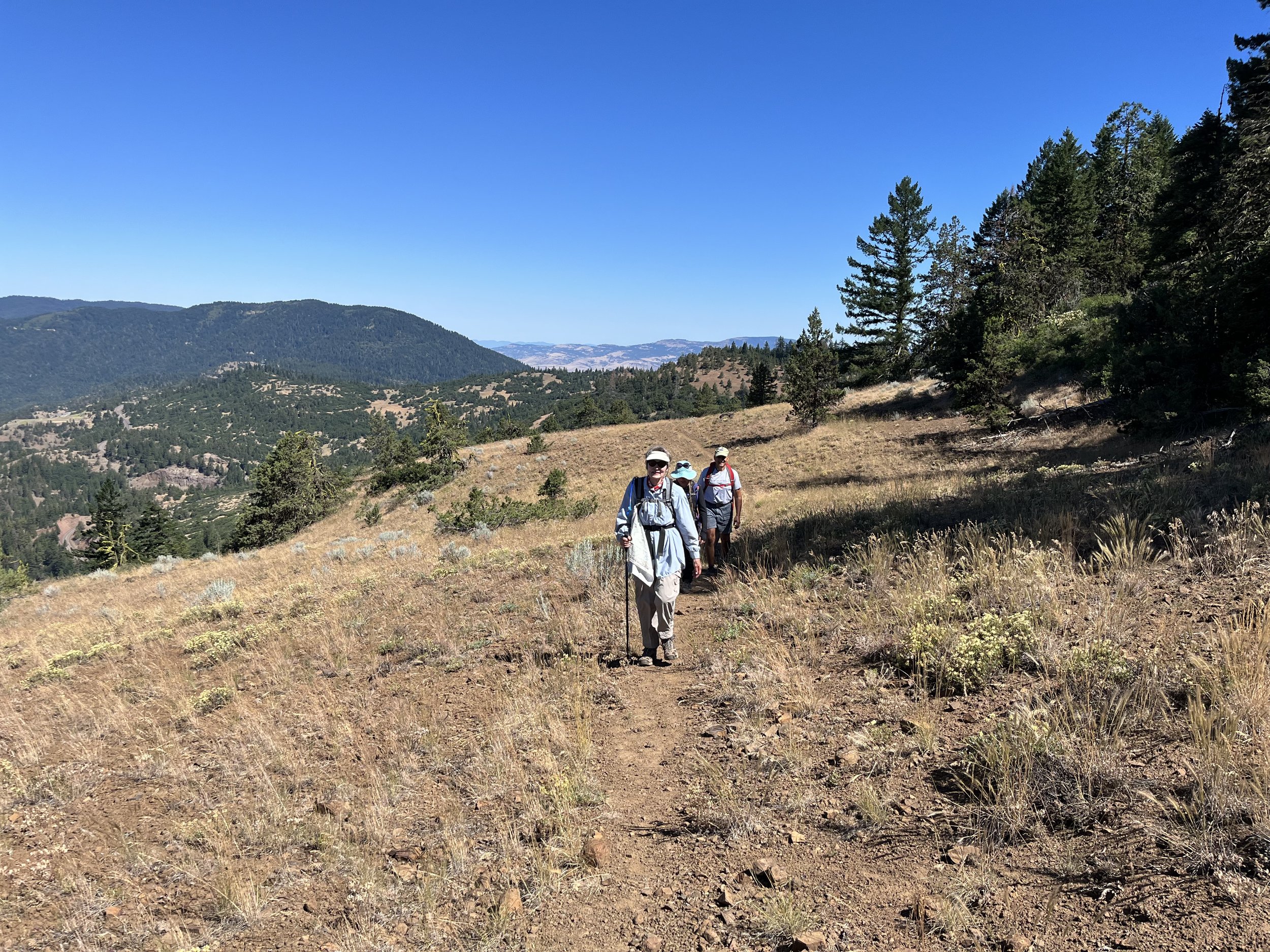
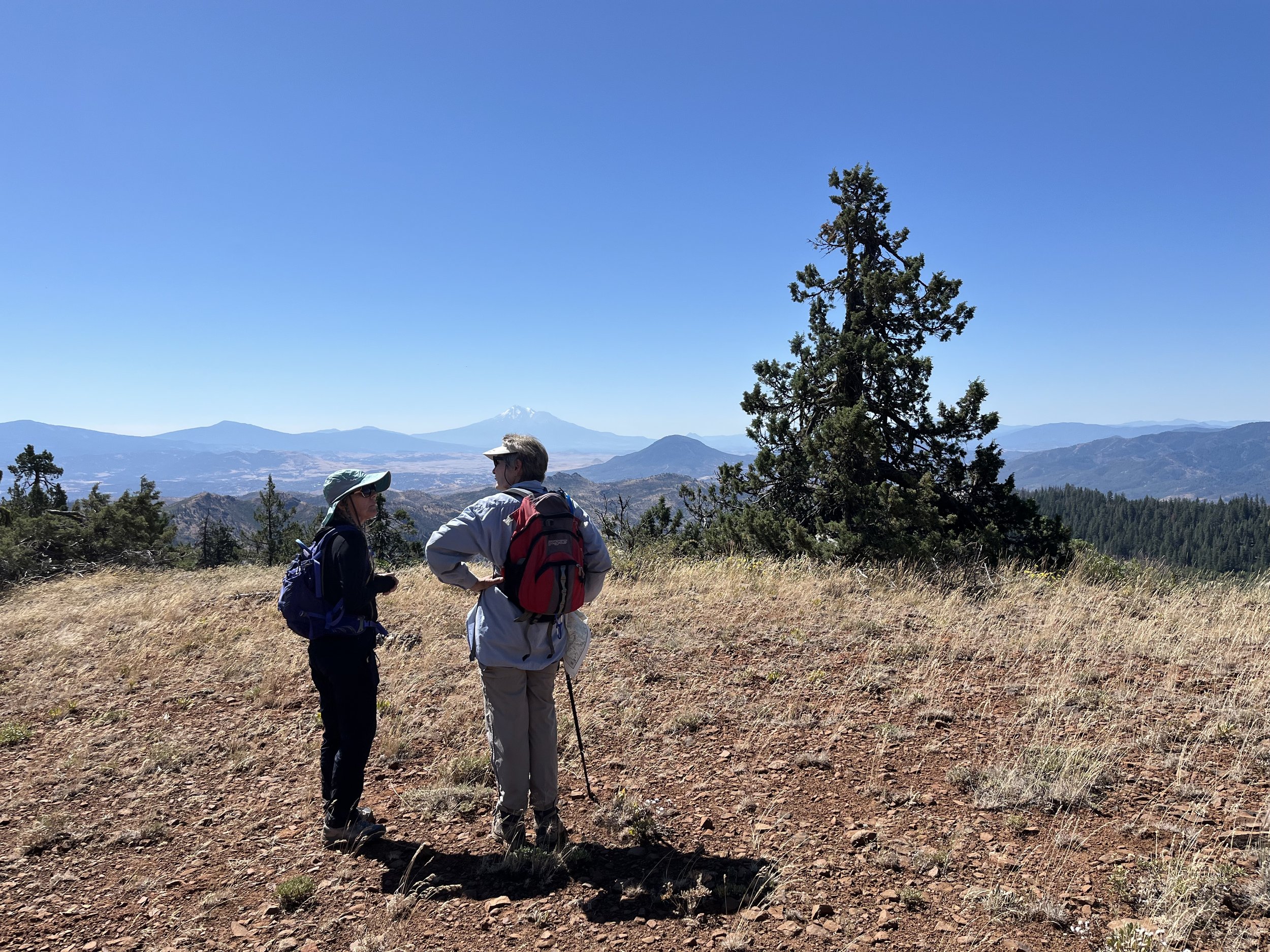
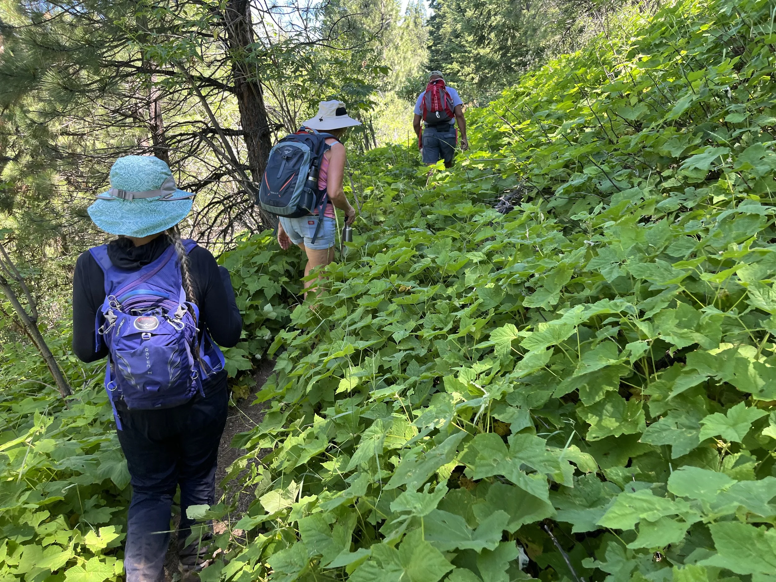
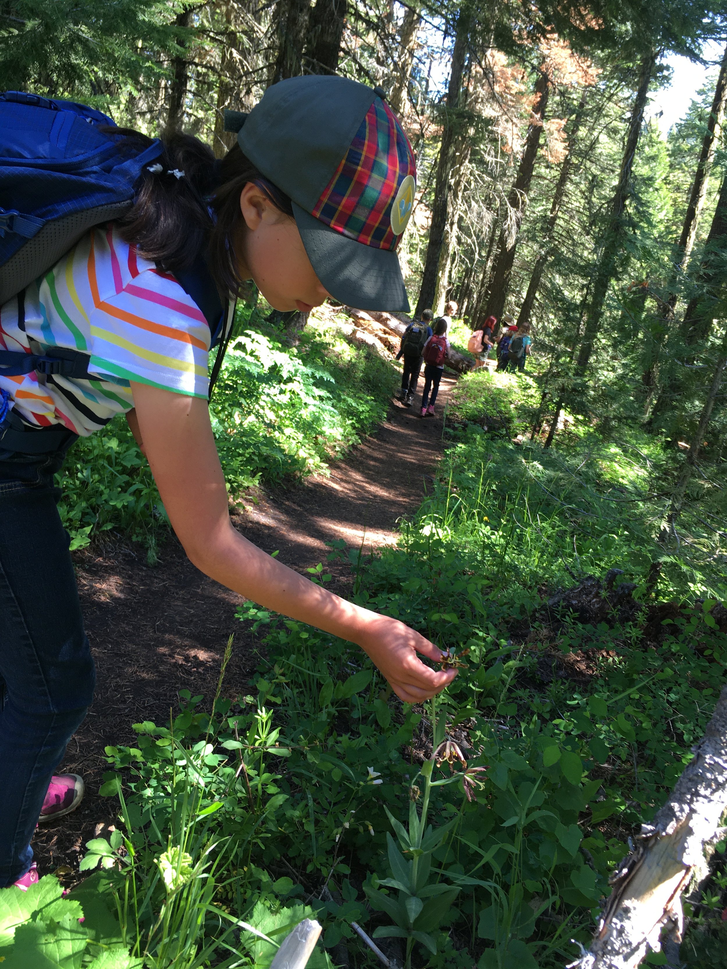
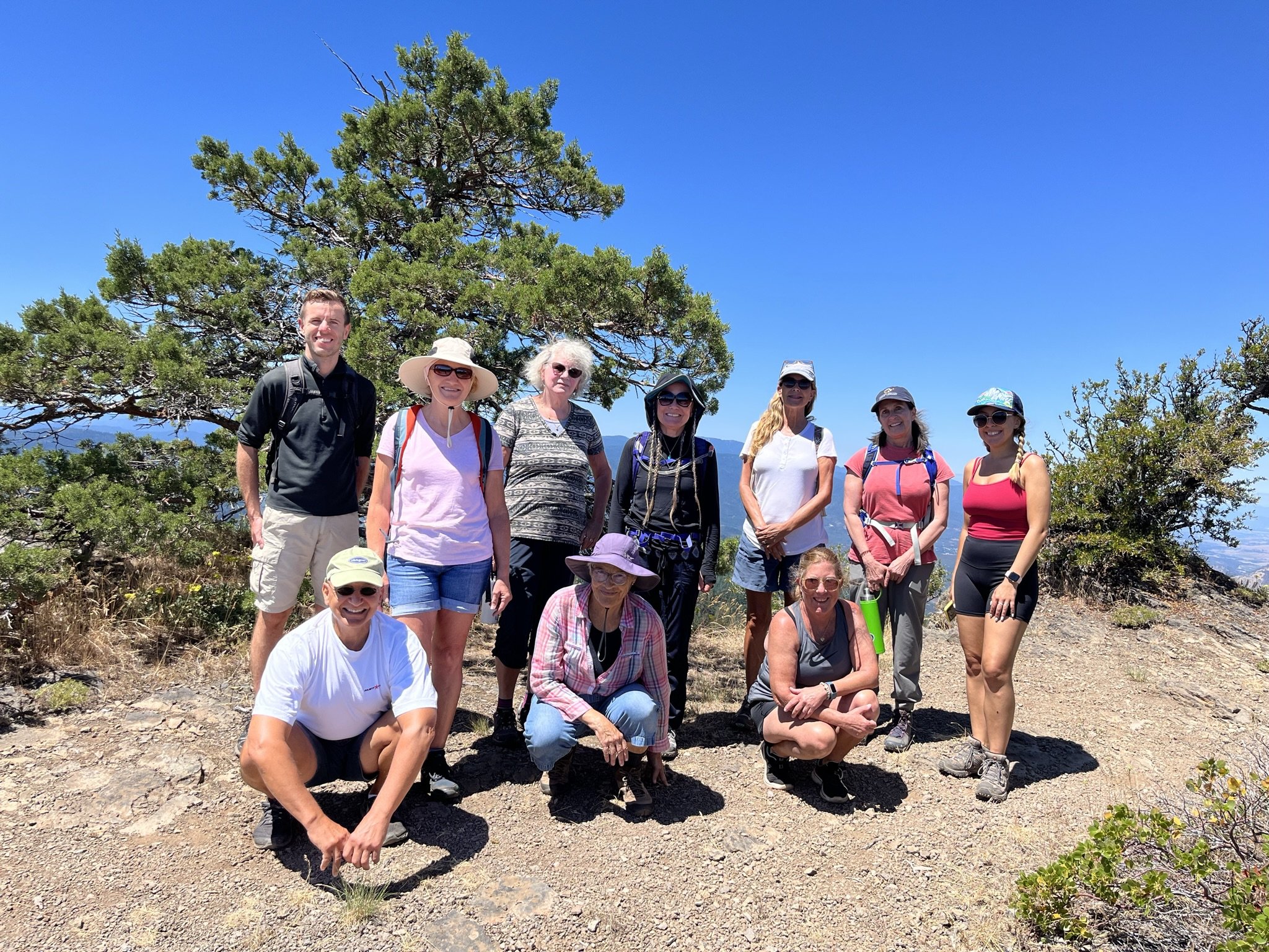
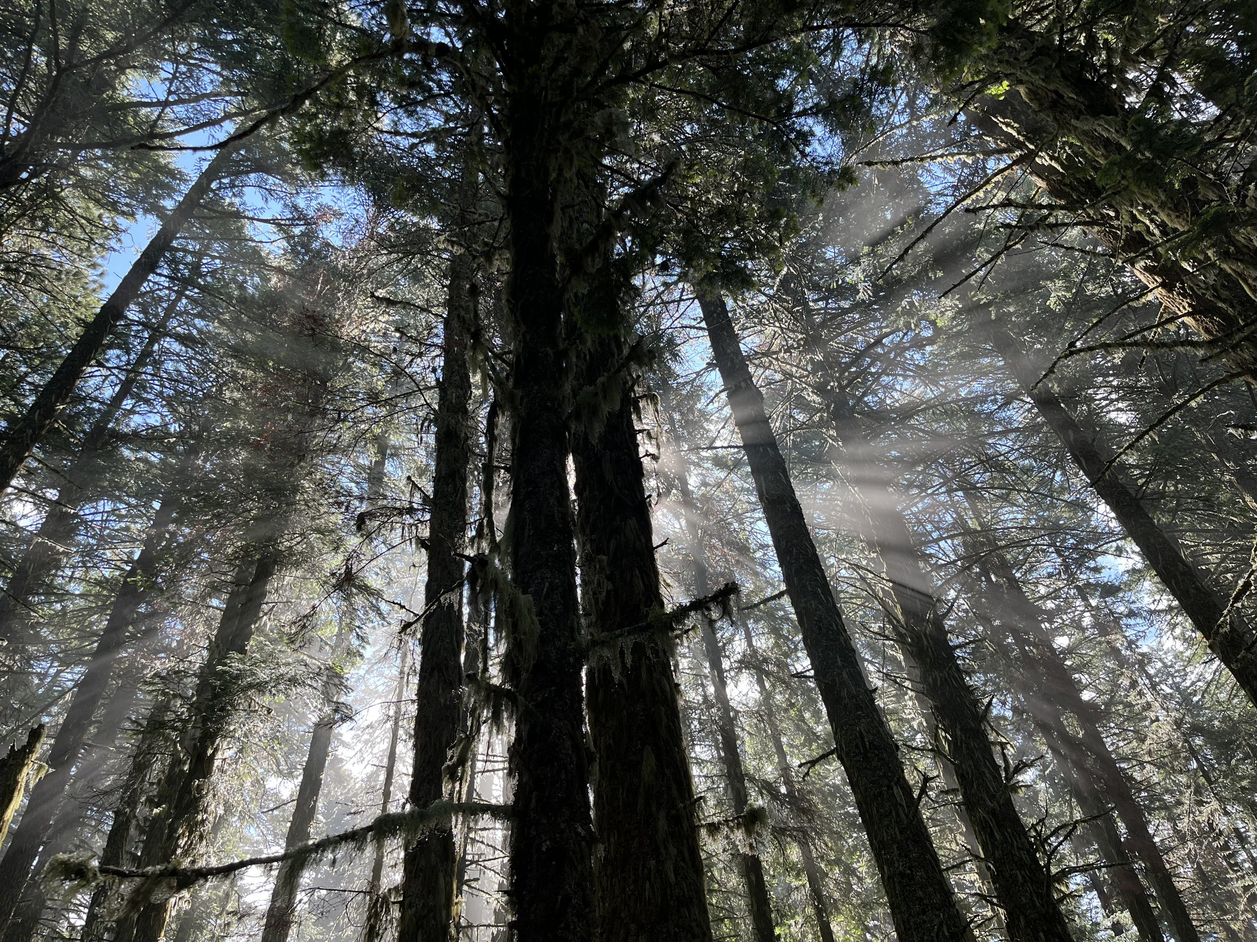
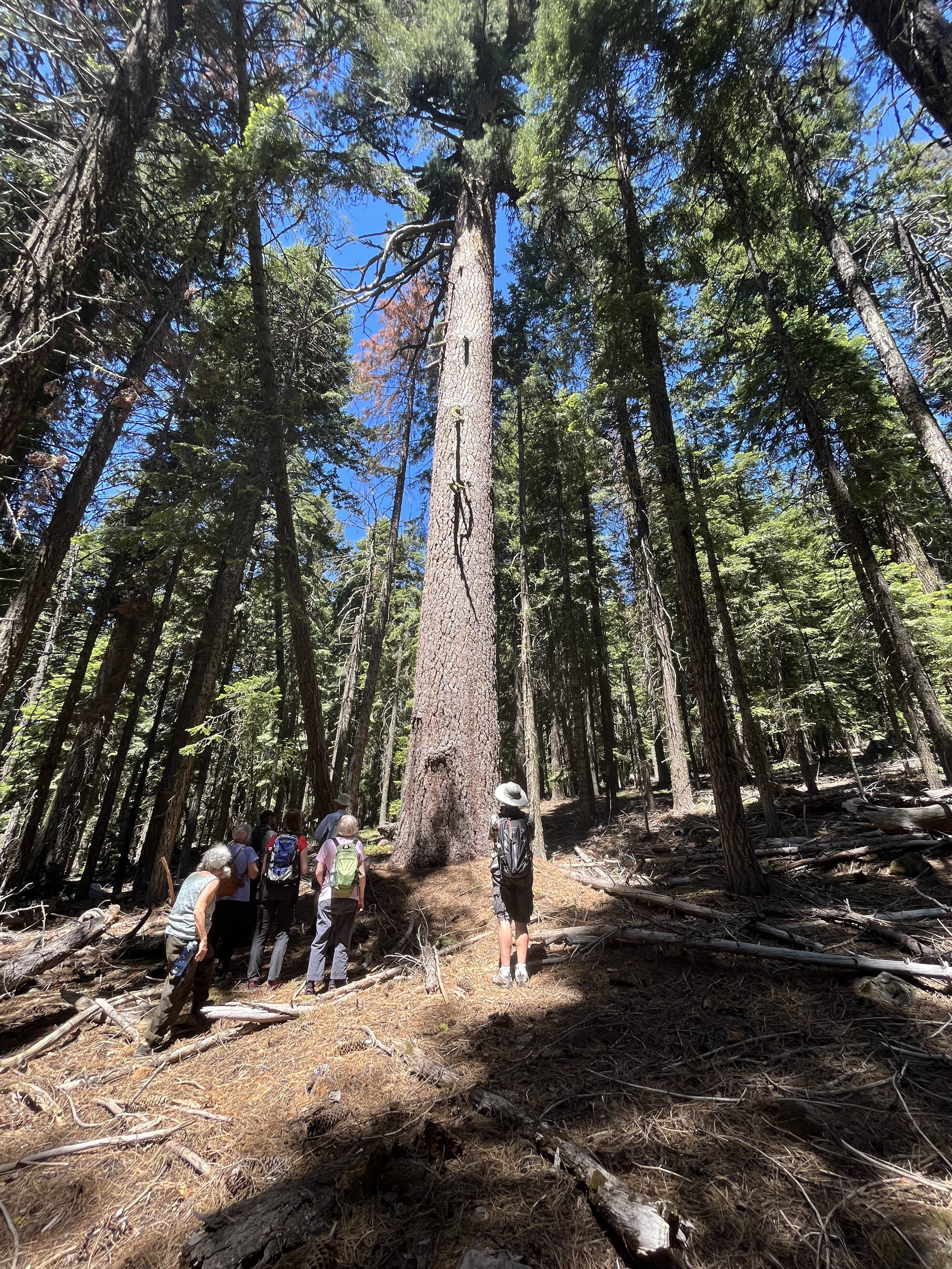
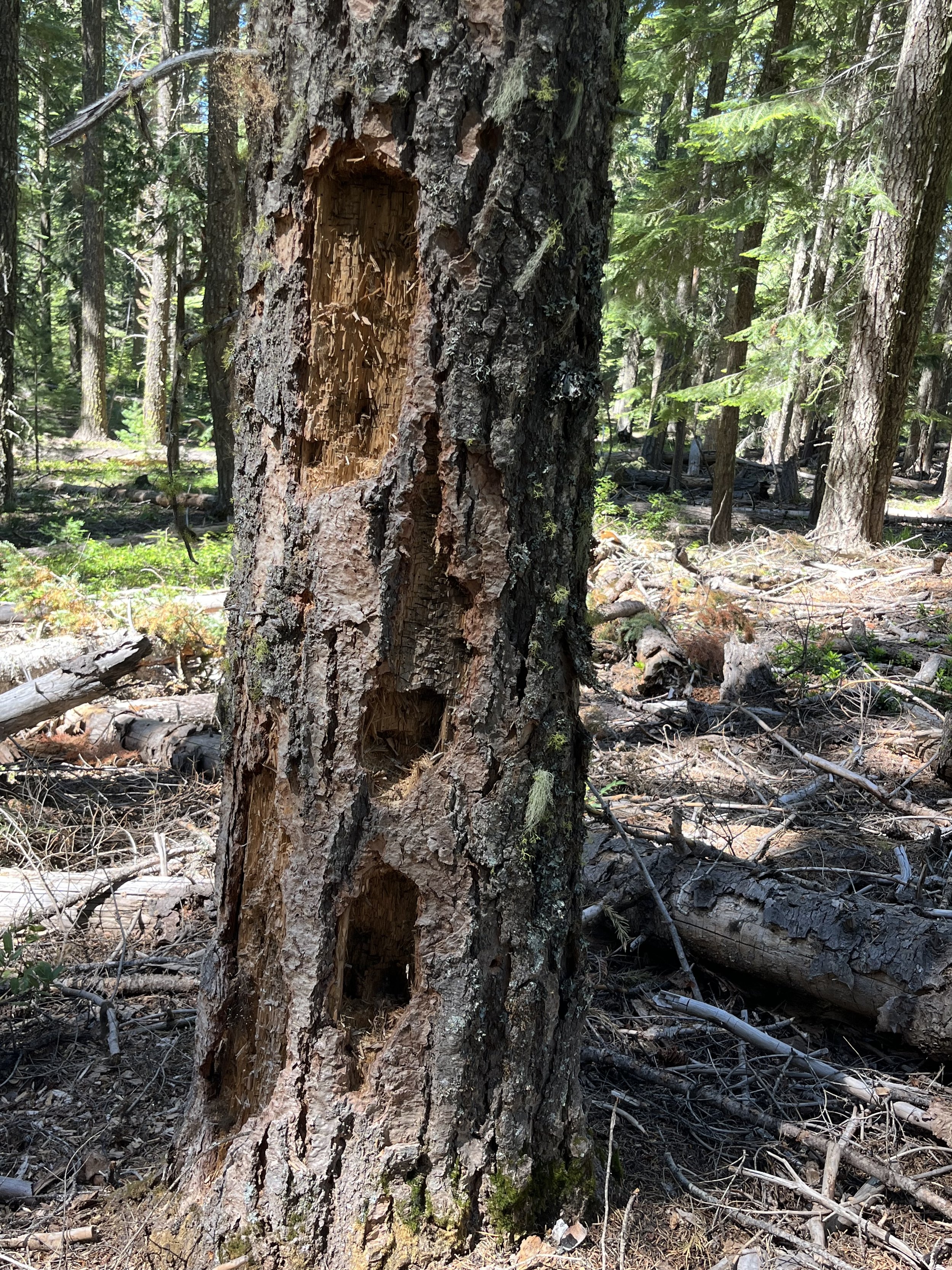
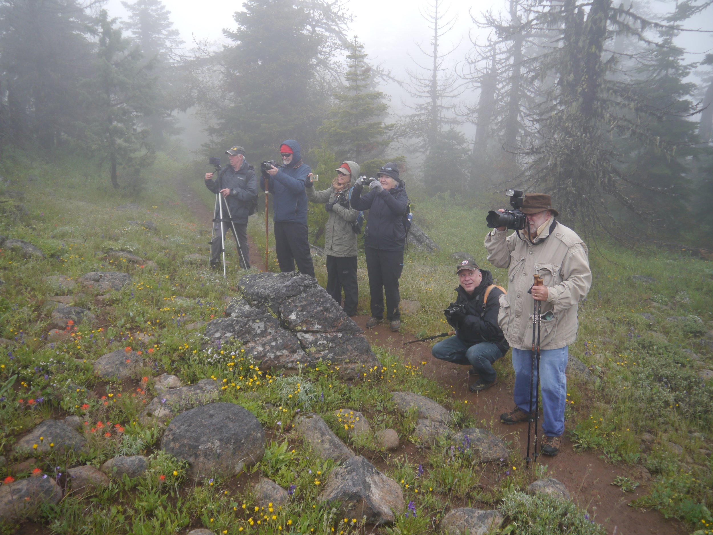
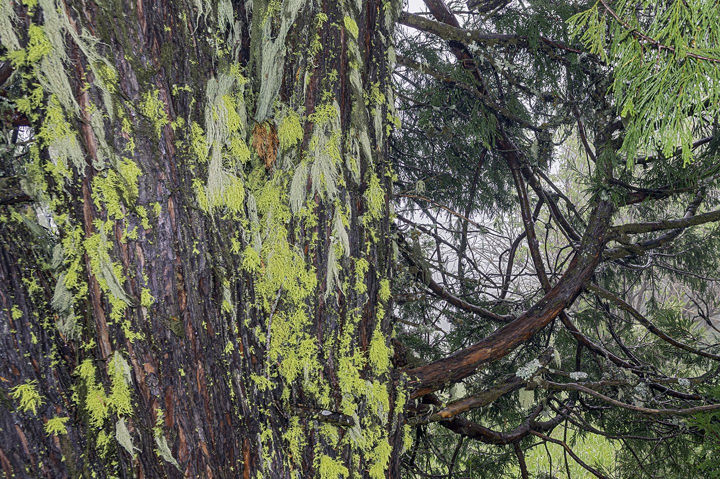
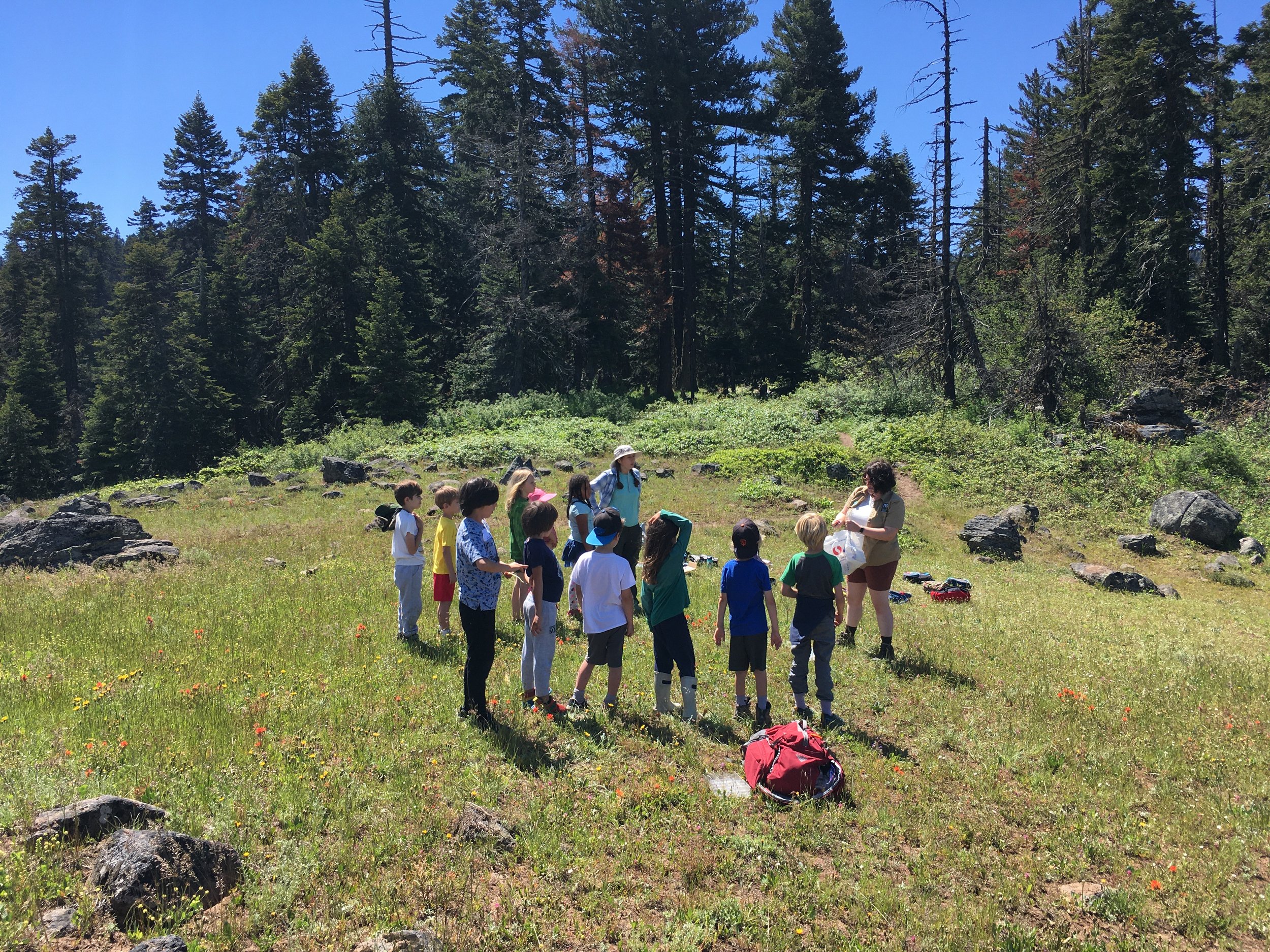
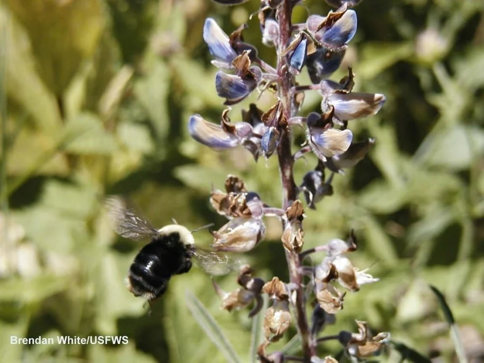
Once we parked, we could breathe in the fresh, watery air and take a sigh of relief. What’s ahead is a gentle trail that follows along Lost Creek through pines, firs, and fun riparian plants and shrubs that make great habitat for birds. Our hiking group was small but mighty, with an avid birder among us who was able to identify a few small Dusky flycatchers in a clearing. That’s one of the best things about Sunday Hikes with the Friends – there’s bound to be an expert or two in the group who loves this land and the creatures that inhabit it.
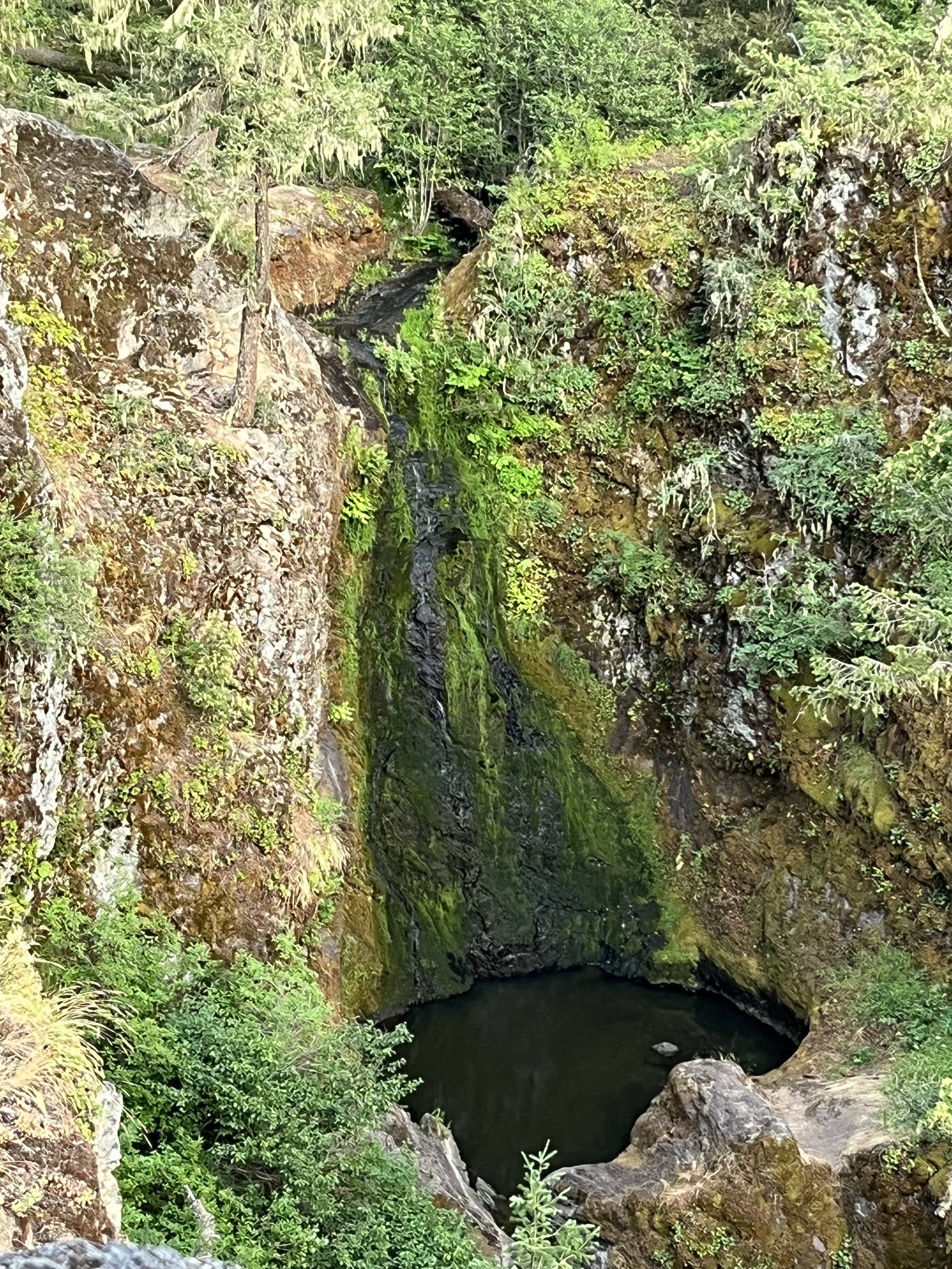
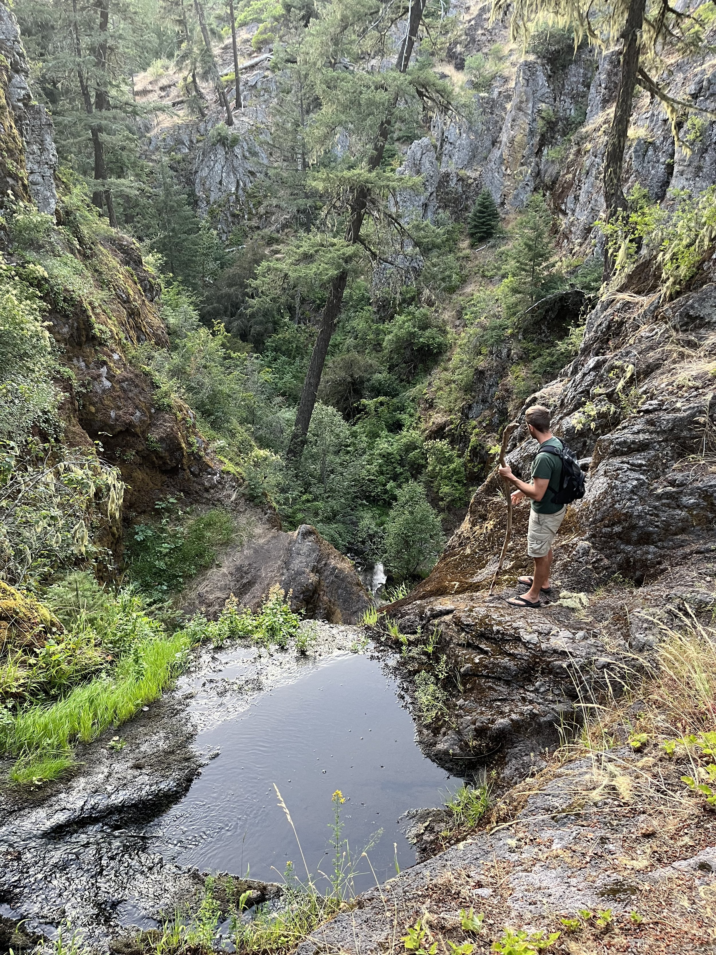
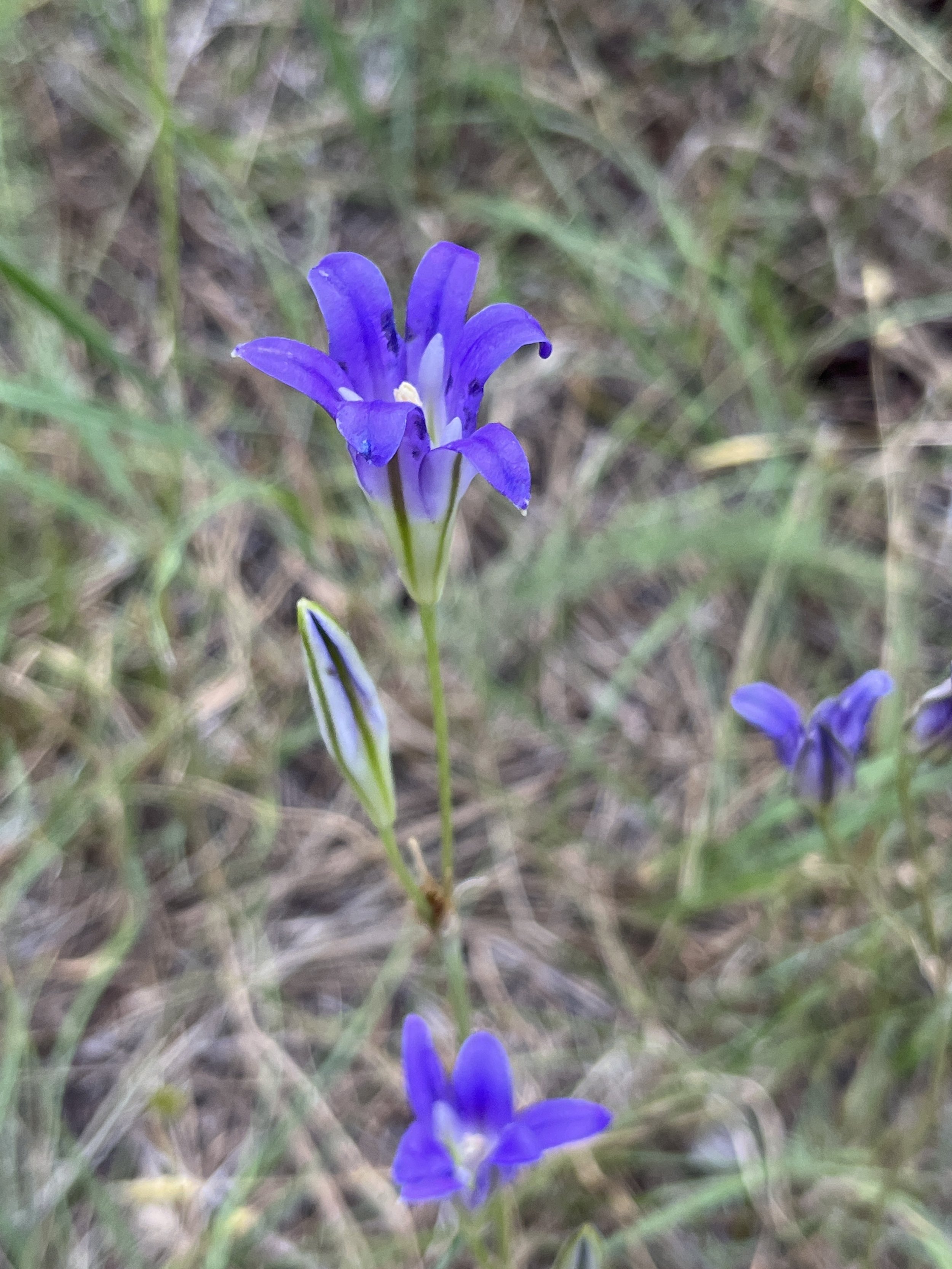
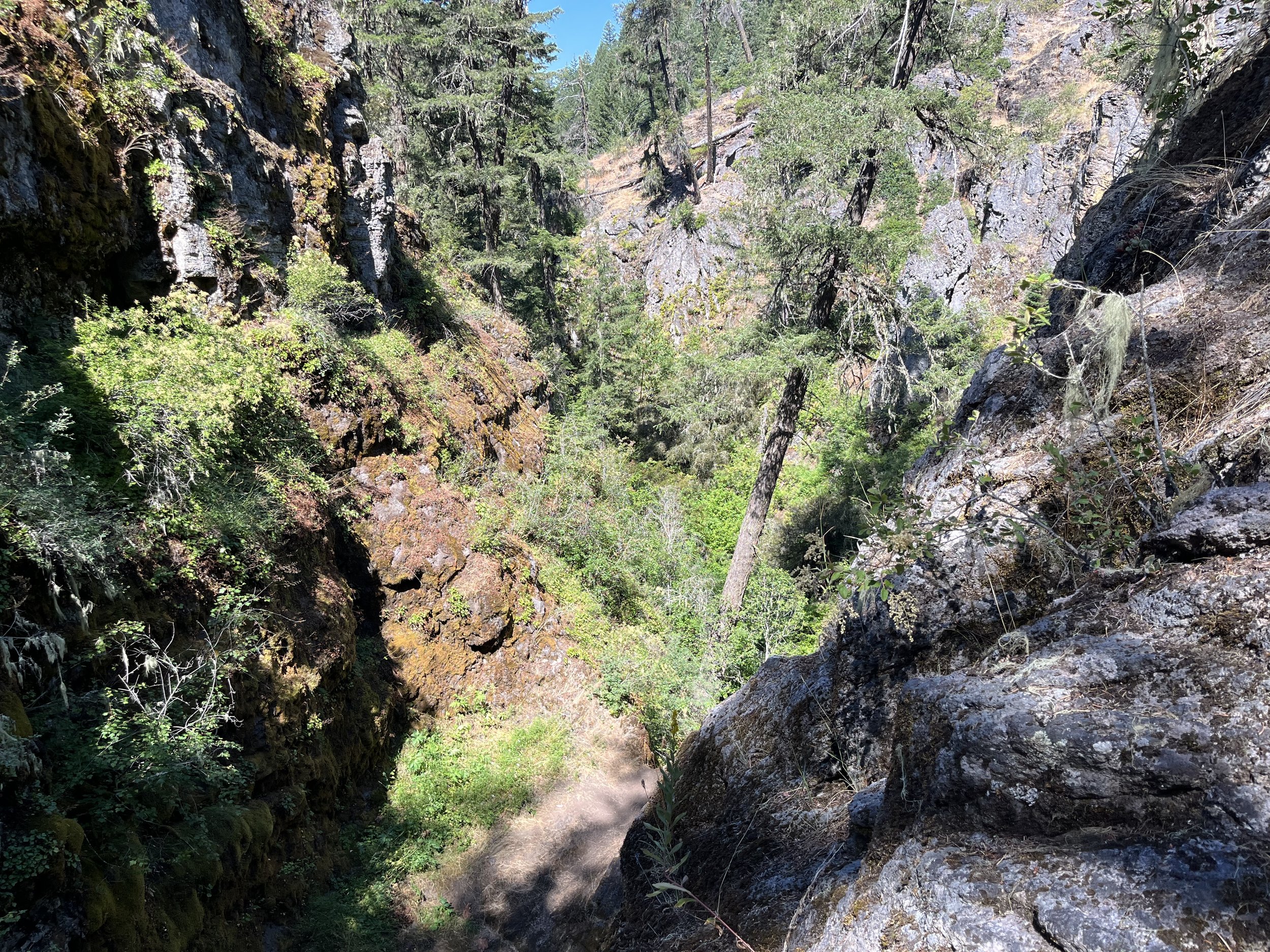
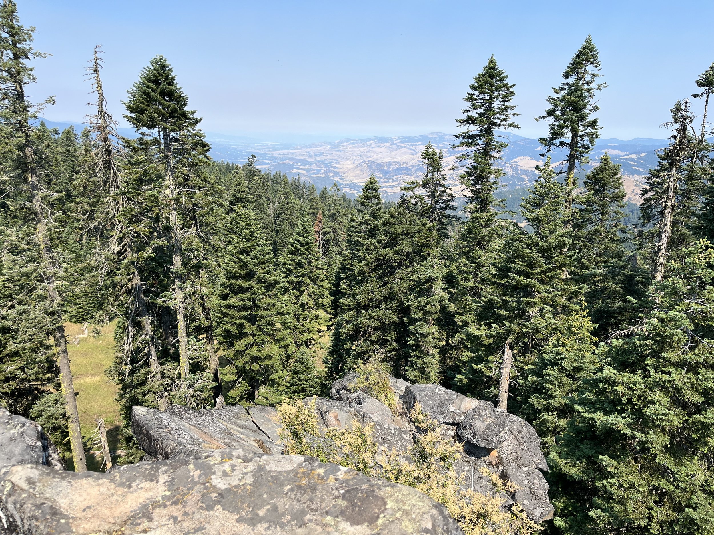
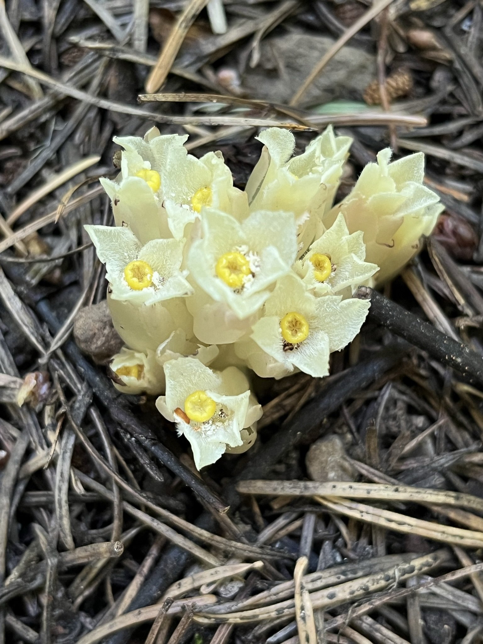
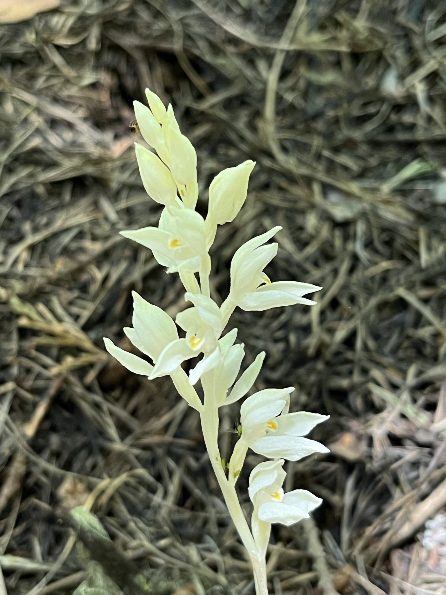
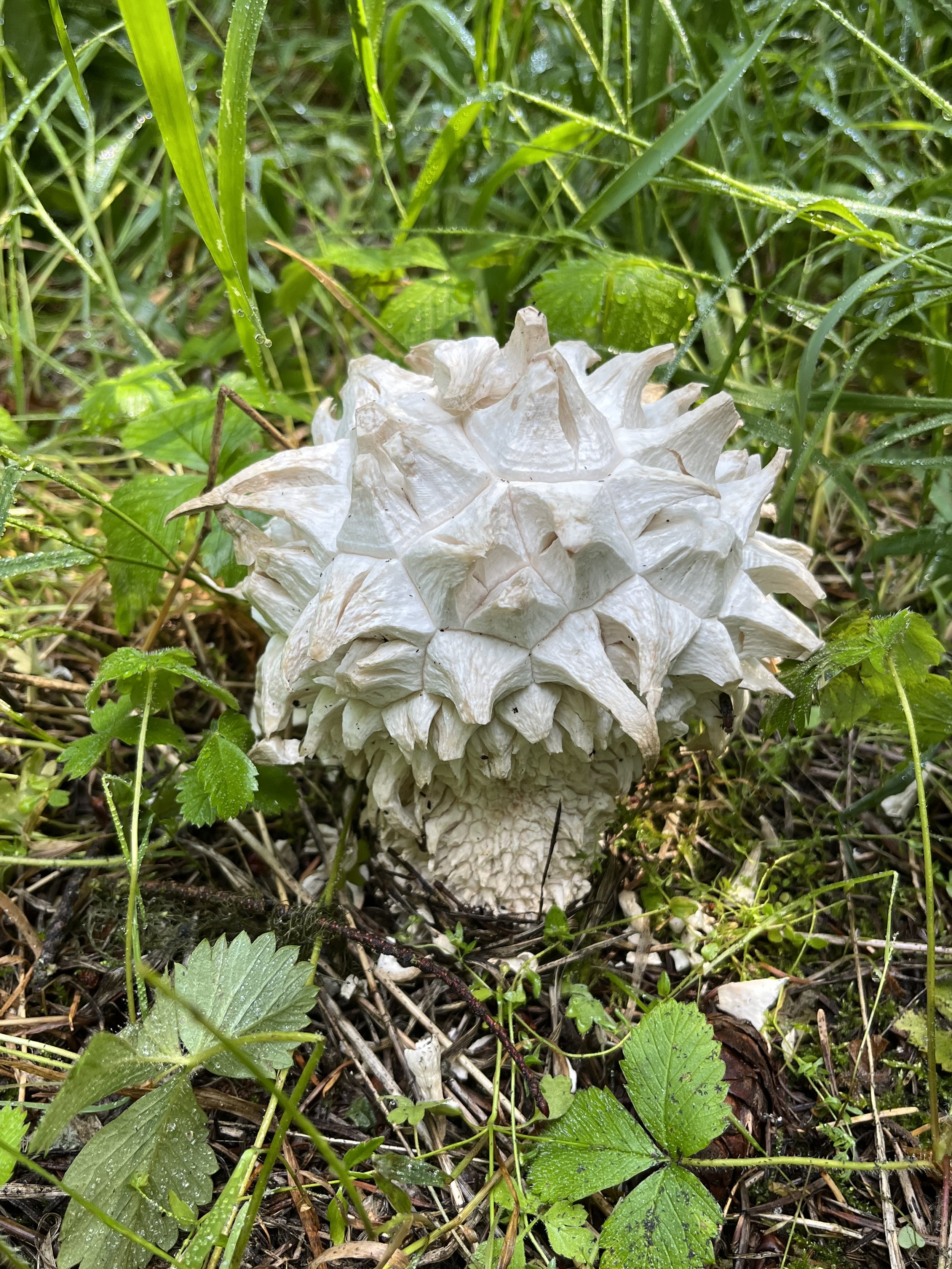
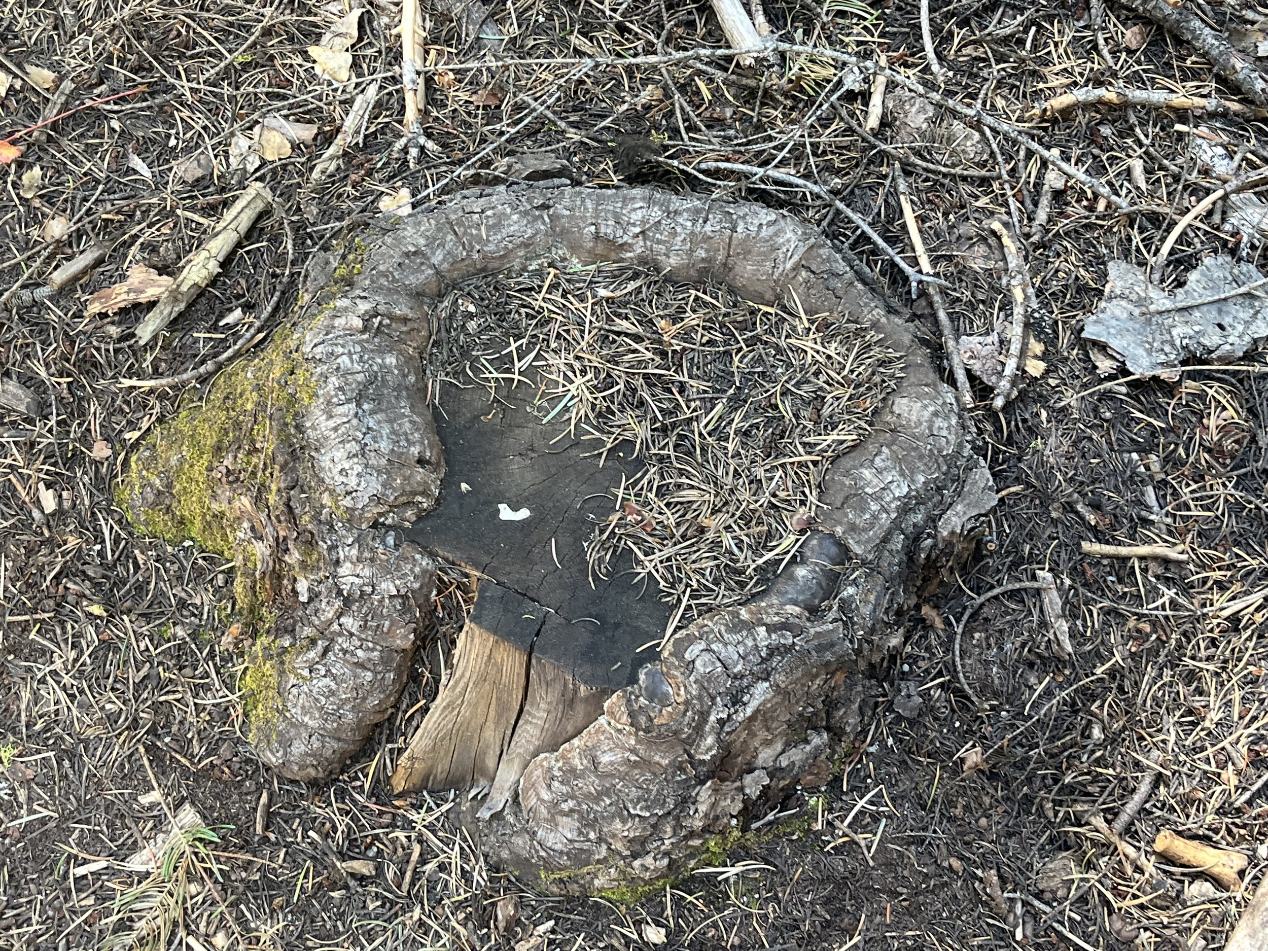
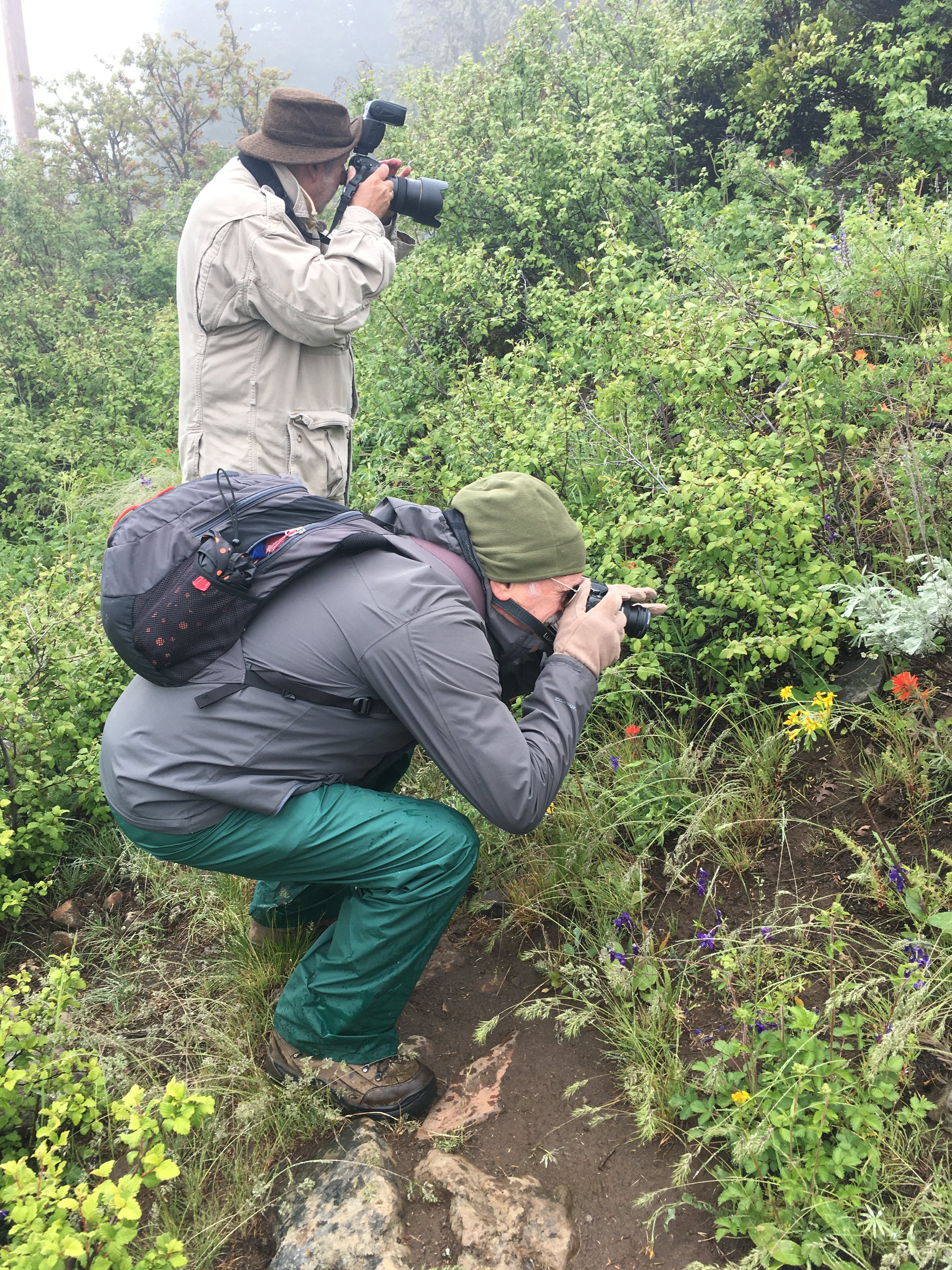
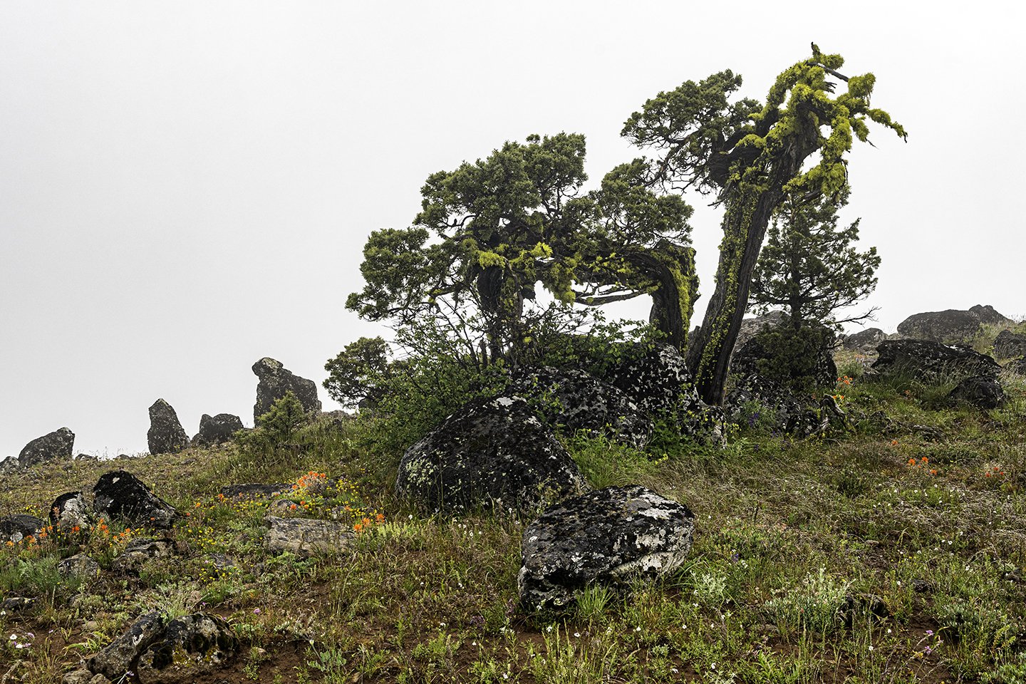
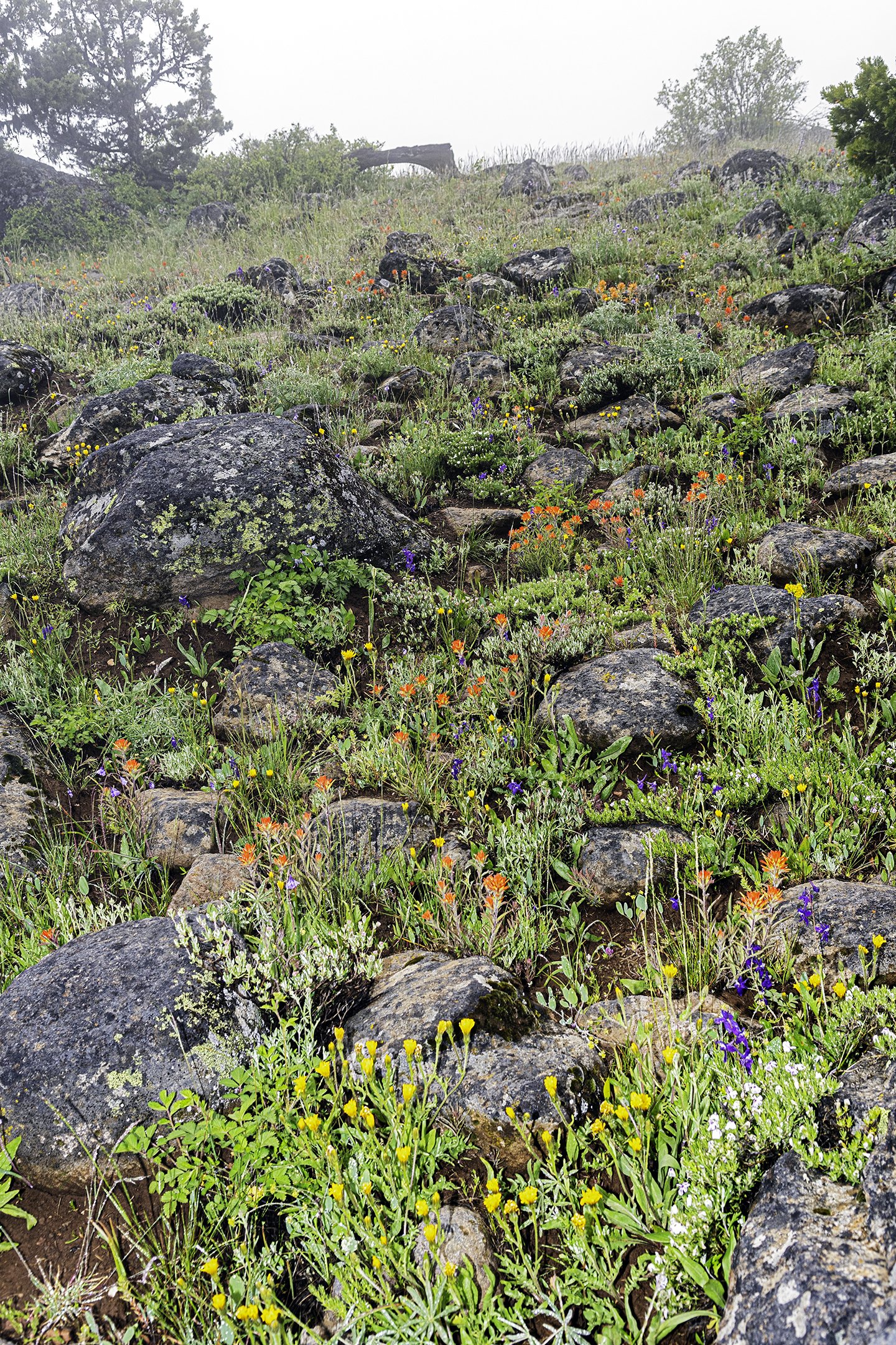
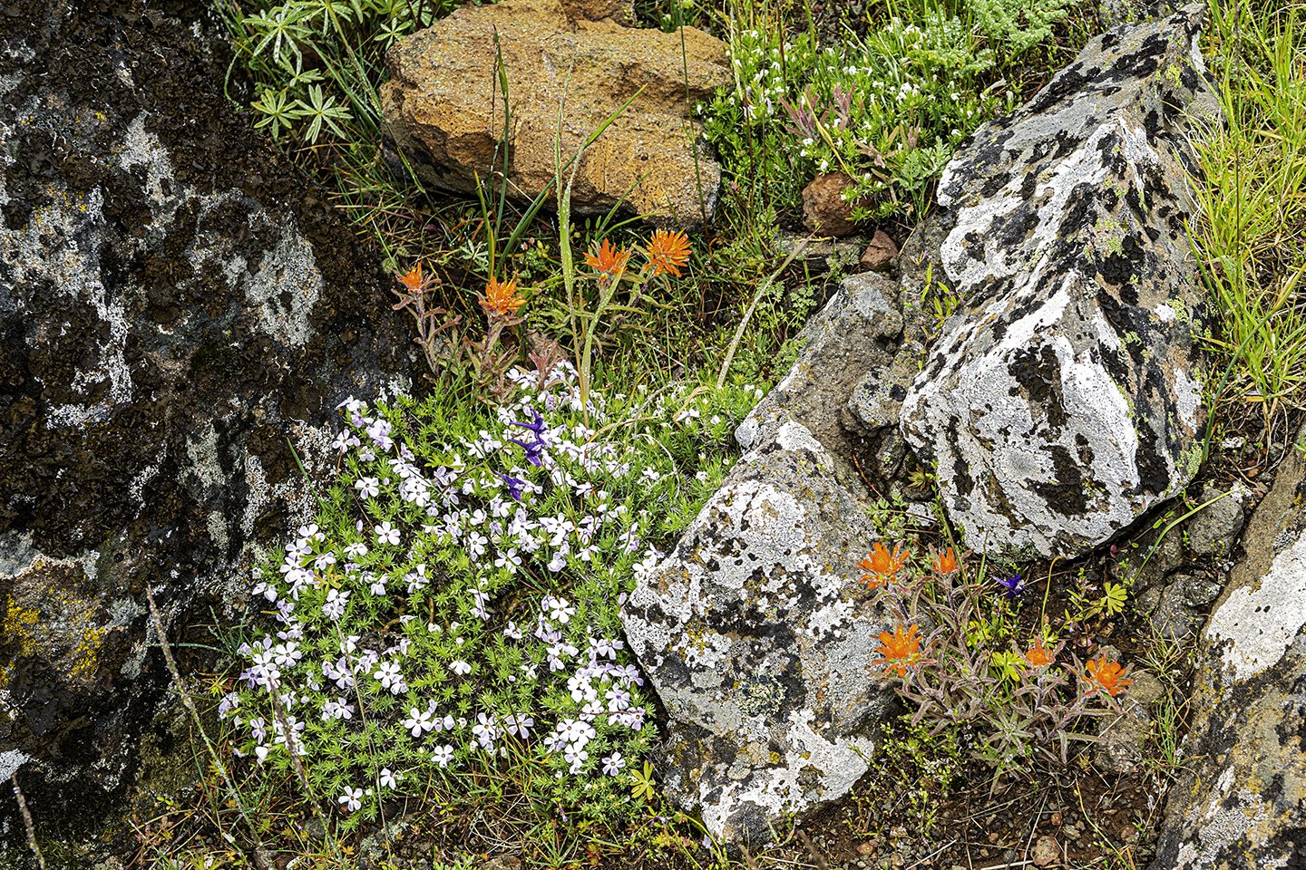
As we walked along the trail, we found a few wildflowers hanging on into late summer, most notably the Harvest brodiaea (Brodiaea elegans). At this point in the year, the falls are more like a trickle, but the view of the canyon, Bybee Gulch, is always stunning. The pools at the top and bottom of the falls are still full, with a wall of bright green moss connecting the two. Seeing the tops of various conifers and tracing their trunks all the way down to the bottom of the canyon was a highlight. Getting to the bottom of the creek would be quite hazardous, but there is the opportunity to continue ascending through the pines and over some rocks to a view of a lake.
I recommend checking out this hike in late spring, once the snow has melted from Shale City Road. Bring shoes you don’t mind getting wet, and spend some time thanking this small creek for being a source of cooling hydration for the plants and animals in this quiet corner of the Monument!
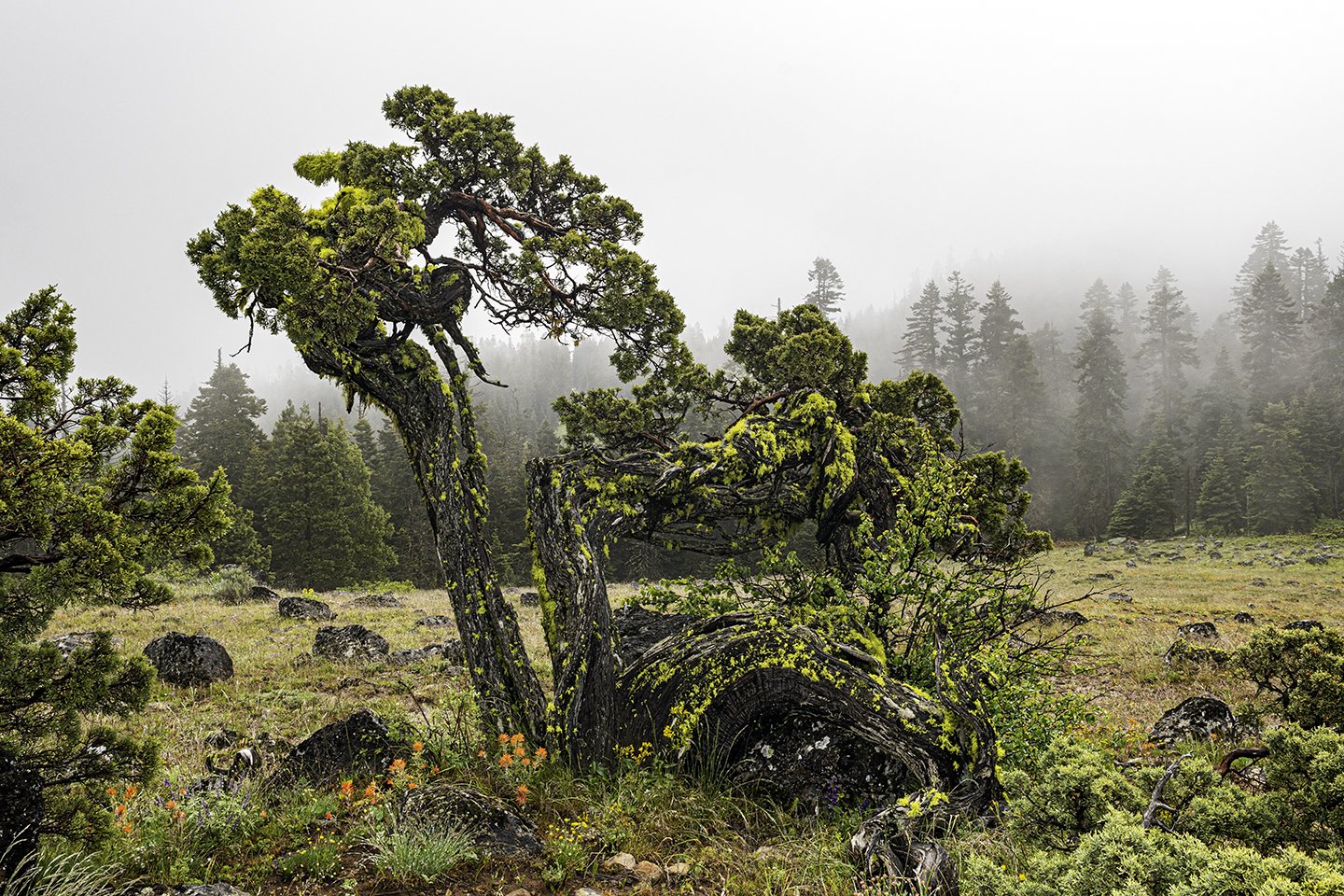
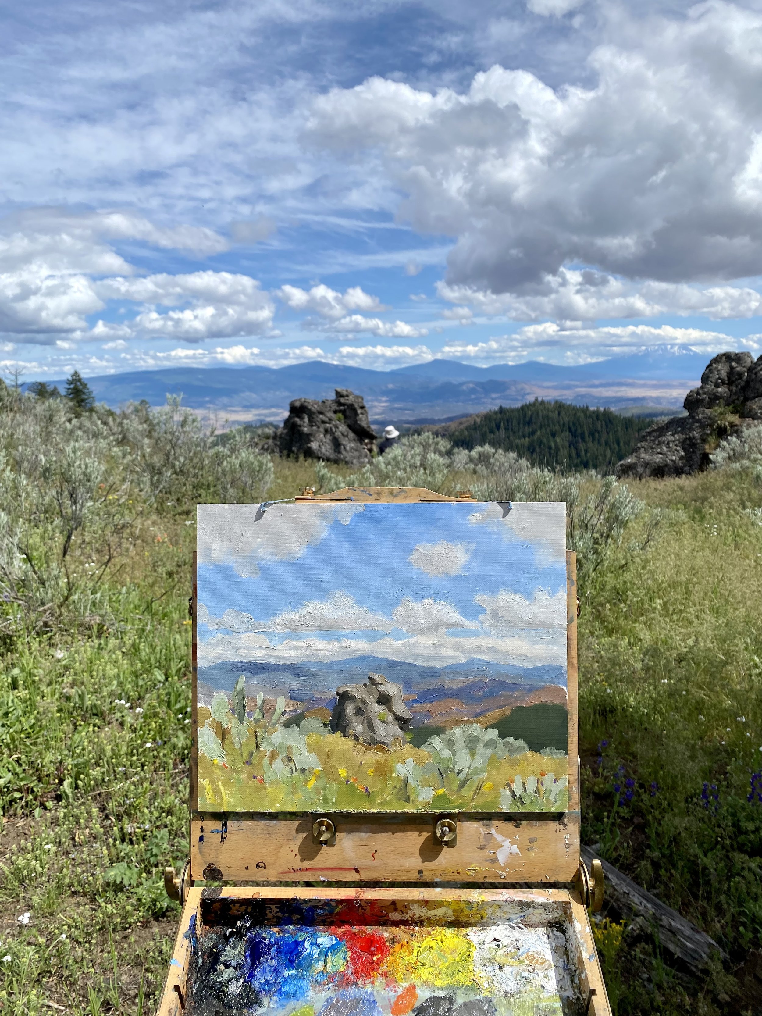
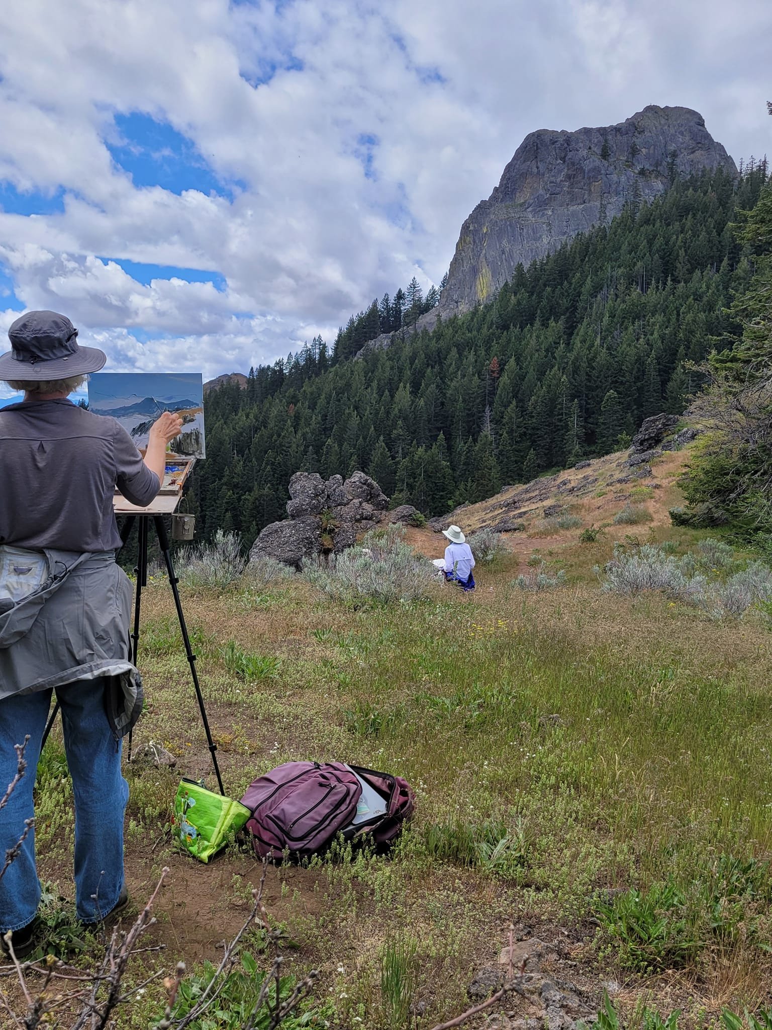
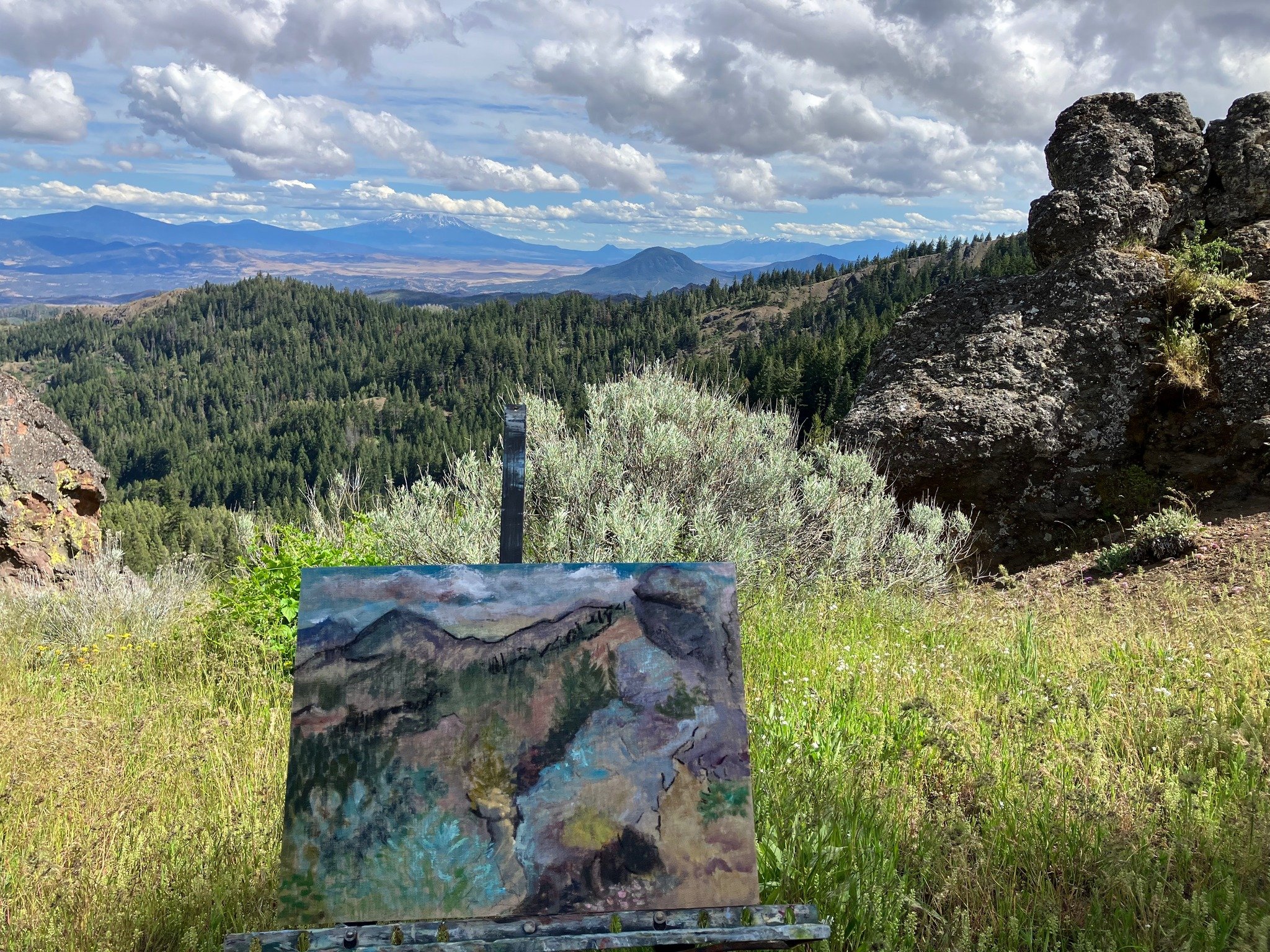
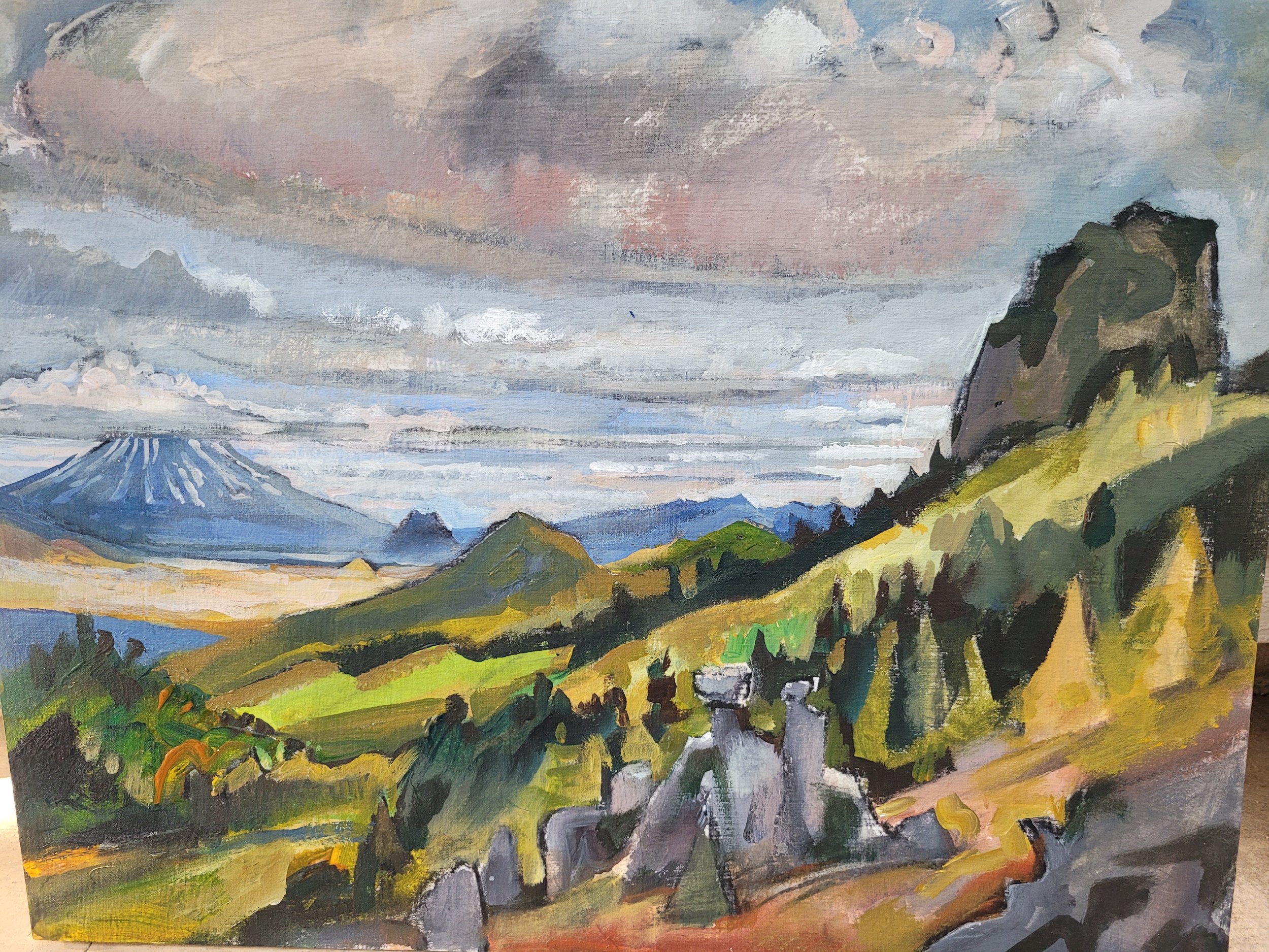
Words and photos by Interpretive Ranger Sarah Martinez.