Sunday Hike #7 - Porcupine Mountain, 8/14/2022
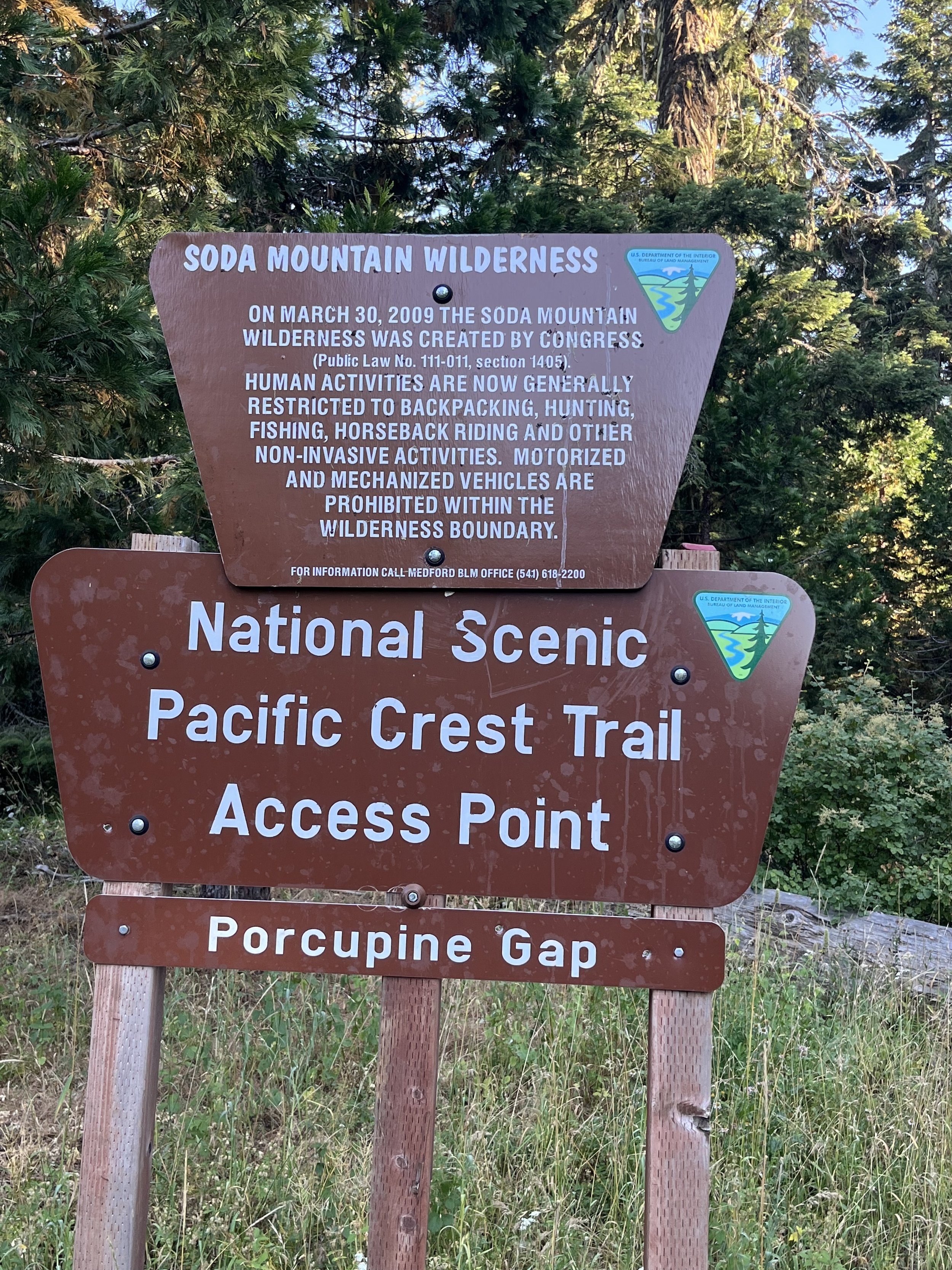
On our longest hike yet, we made it to the top of Porcupine Mountain, a lesser known peak tucked between Pilot Rock and Soda Mountain just outside of the Soda Mountain Wilderness Area. We started our journey at the Pilot Rock Trailhead, taking the spur trail to link up with the PCT and heading “north-bound” on the trail. After about 3 miles one way on the PCT, passing by the signed Porcupine Gap, we veered off trail, marked by a characteristic old juniper snag. Like Rhyolite Ridge (which we hiked a few weeks back) this hike requires a bit of off-trail navigation, this time along an old, decommissioned road to the plateaued summit.
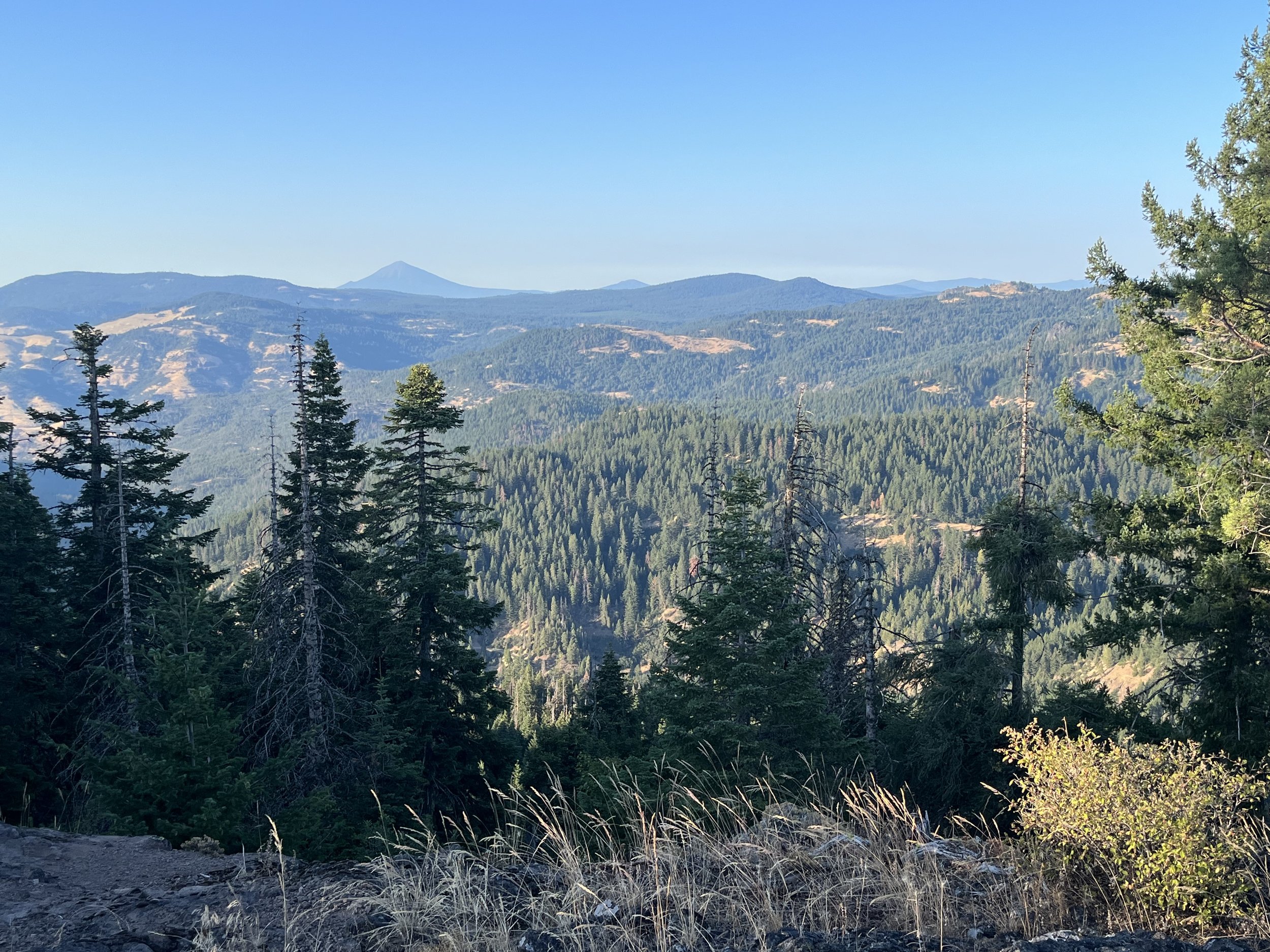
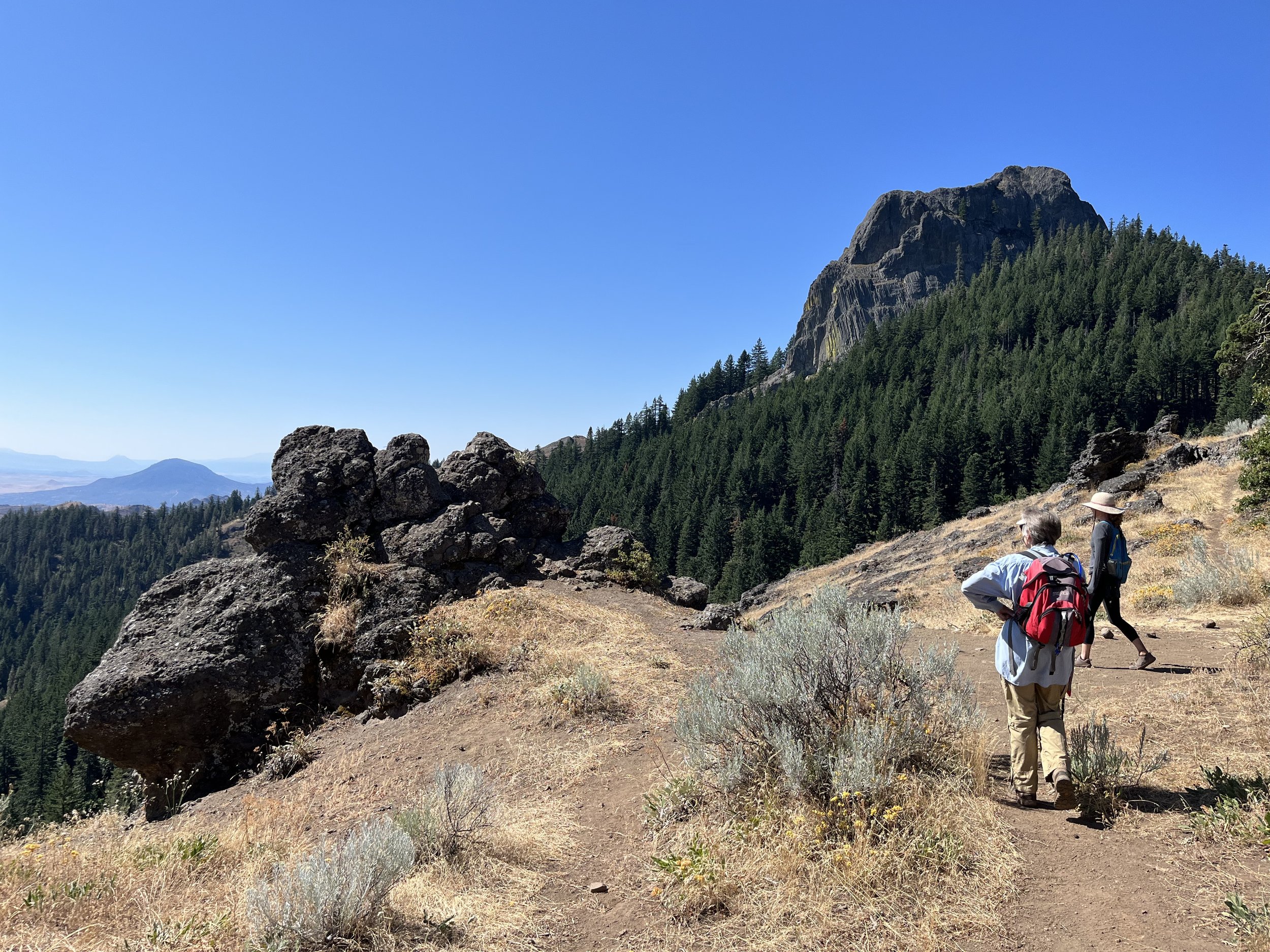
The ascent to Porcupine Mountain isn’t too treacherous, but for some fallen logs, rocks, and brush piles used to make the road impassable to OHVs, which is important for the protection of the sensitive vegetation and lichens that populate this area. However, it’s much steeper than any sections of the PCT. Treading carefully, we hiked up to the summit, catching views to the south of Mt. Shasta and the Iron Gate Reservoir along the way. Once at the top, there are several viewpoints to take in. Continuing along the ridge-like summit, we were able to get 360 views towards Pilot Rock (our constant companion on this trail), Mt. McLoughlin, Soda Mountain, and all the spaces in between. We enjoyed our lunch with a view, and retraced our steps back to the PCT to get back to the trailhead, totaling about 8.5 miles!
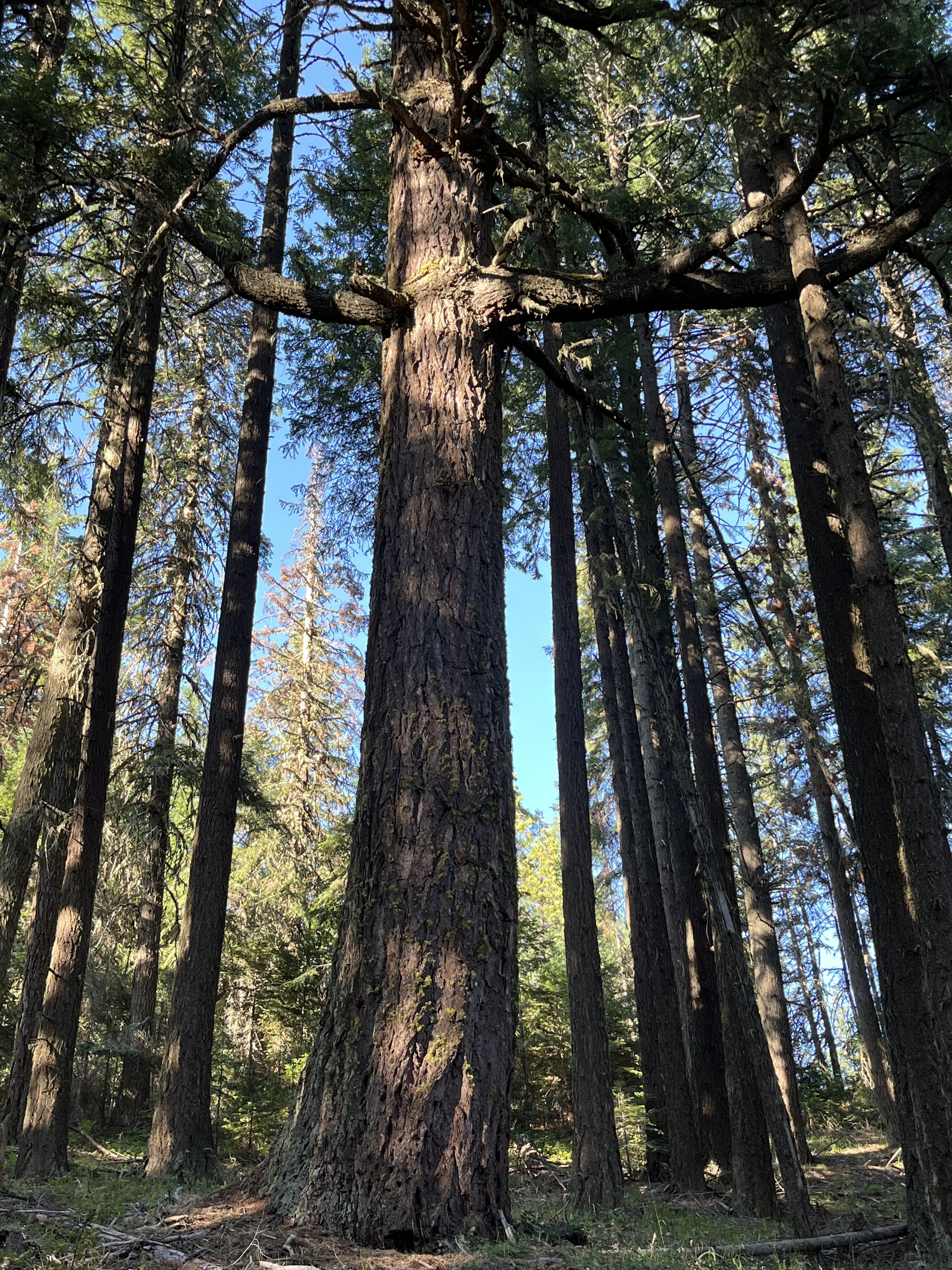
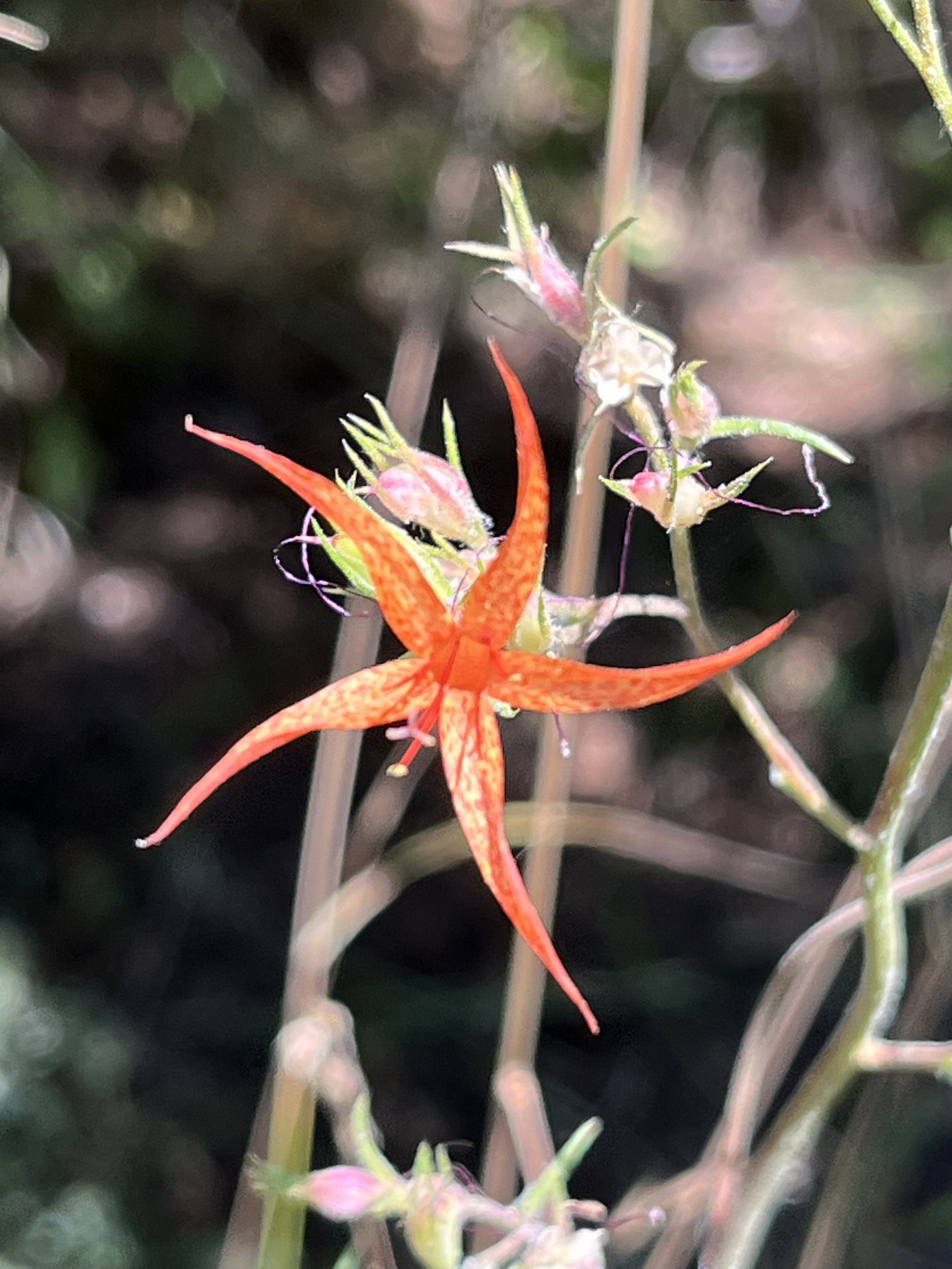
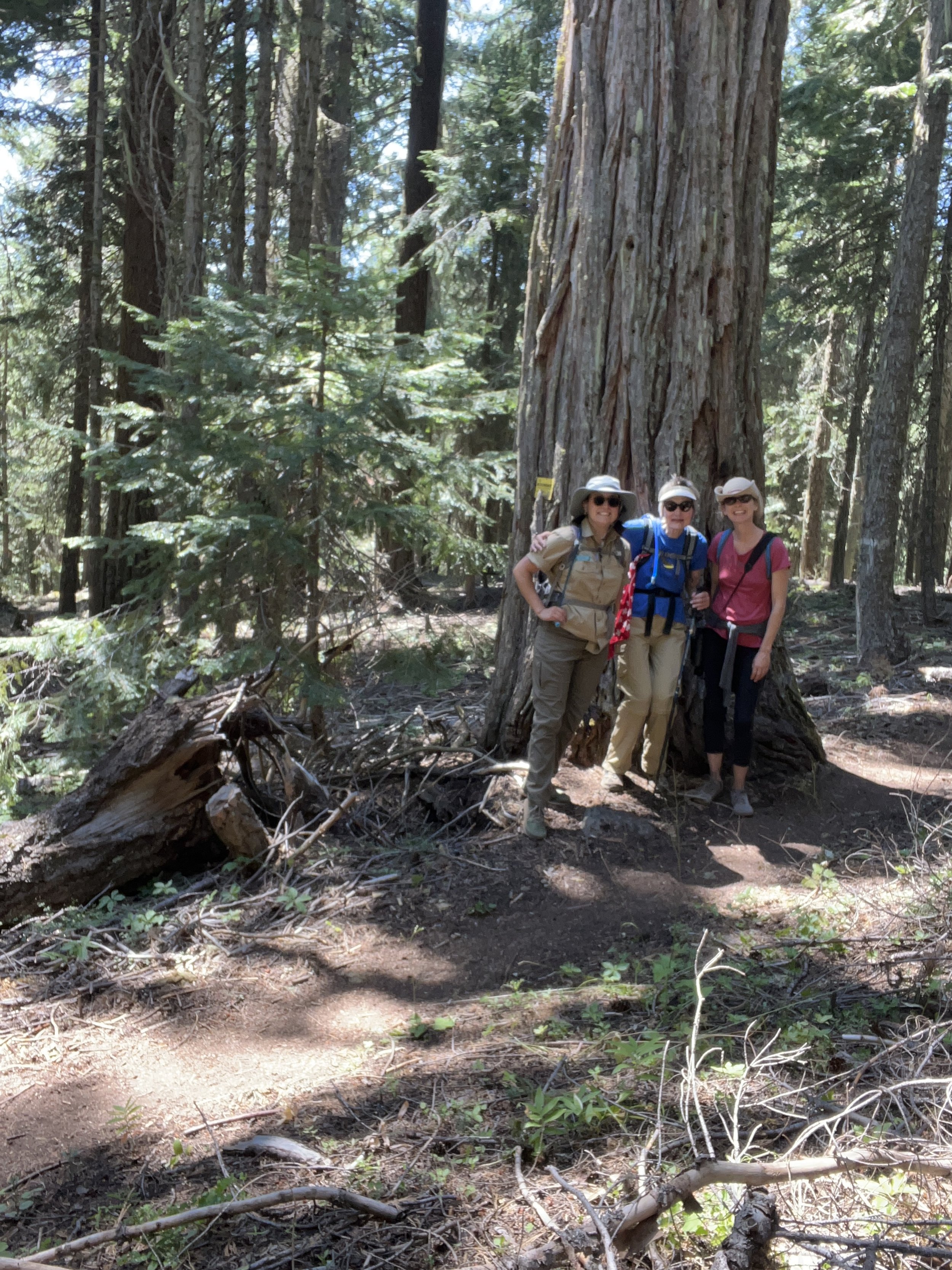
With August comes some signs of the approaching fall. Red Baneberry (Actaea rubra) with its bright red berries was plentiful in shady sections of the PCT. We enjoyed some thimbleberries (Rubus parviflorus) and noticed yellowed Western wild-cucumber (Marah oreganus) waning away. There were some marvelous old-growth Douglas-fir trees, as well as a few Incense cedars and Ponderosa pines of enormous size. The Friends’ Executive Director, Collette Streight, was able to join us on this trek and encouraged us to take a closer look at the bark of some of the older trees where we spotted ever-so-tiny pin lichens growing! Too small to take a photo, but worth investigating on your next hike in an old-growth stand.
Check out this hike next time you’re eager for a grand adventure in the Monument! It should be noted that a more robust vehicle could make it to the end of Pilot Rock Road, to the Porcupine Gap trailhead, which would shorten this hike to about 3.5 miles round trip. As always, be sure to consult a map, bring lots of water, and tread carefully in our beautiful public lands.
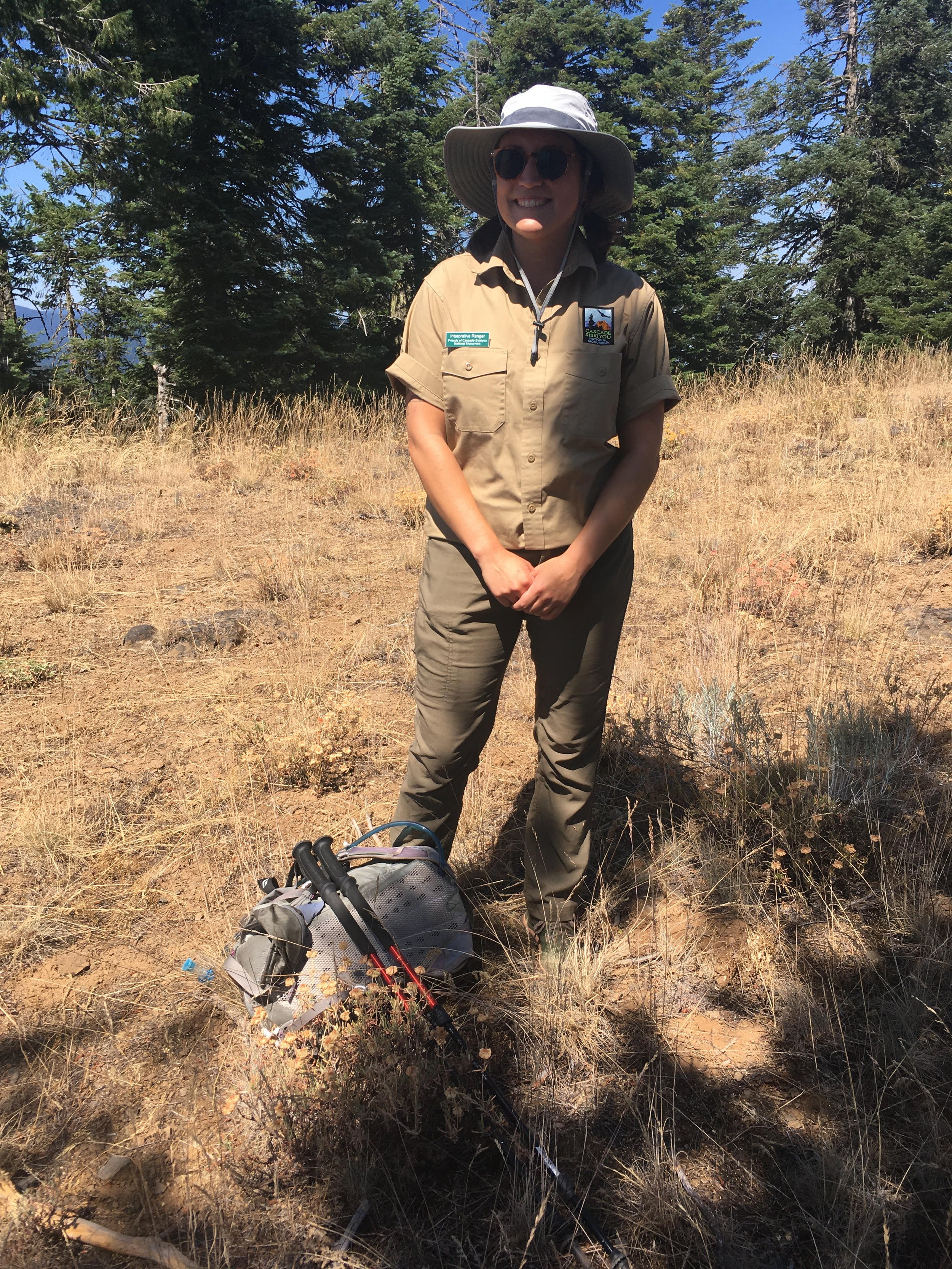
Words and photos by Interpretive Ranger Sarah Martinez
