Community Diversity for Biodiversity

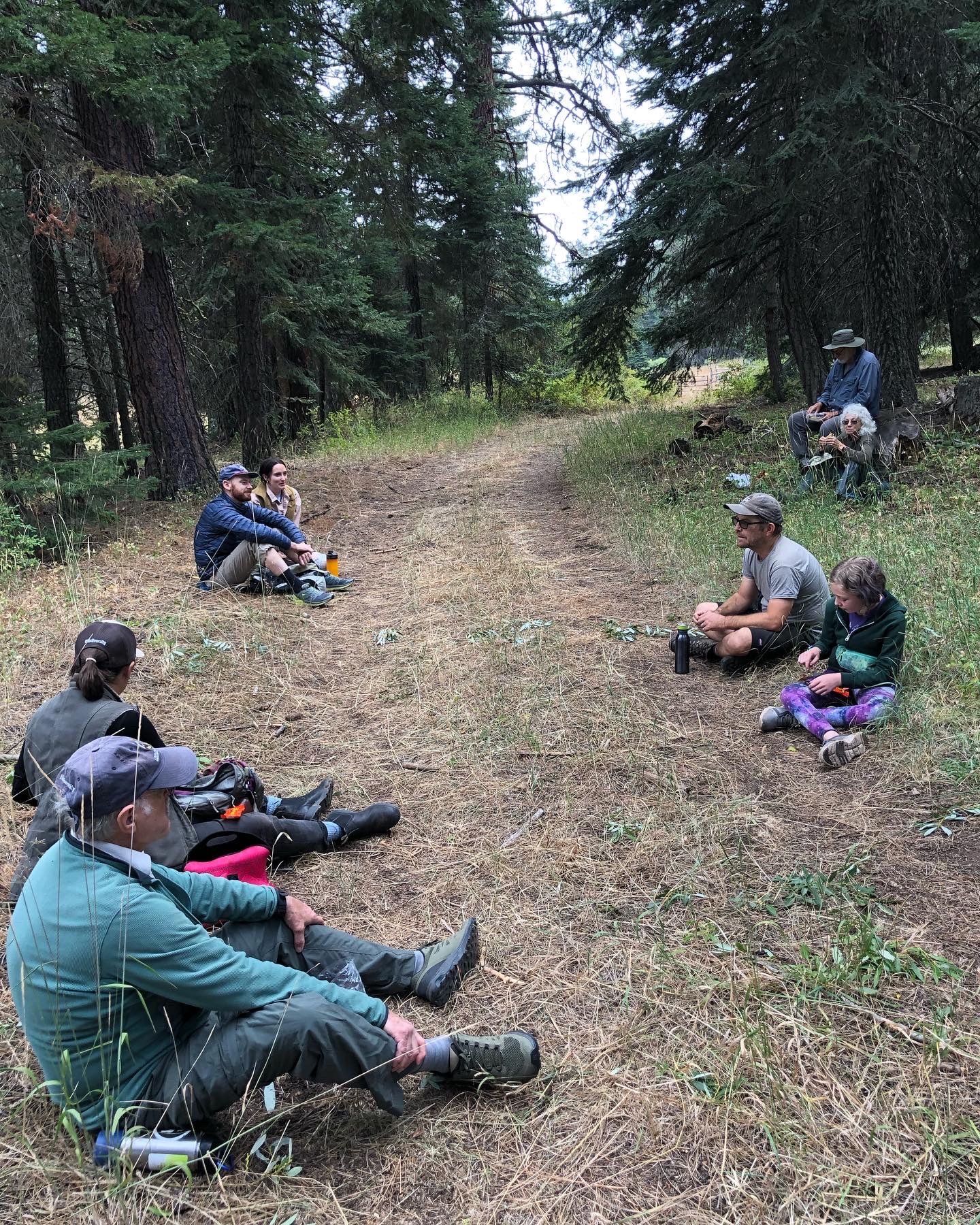
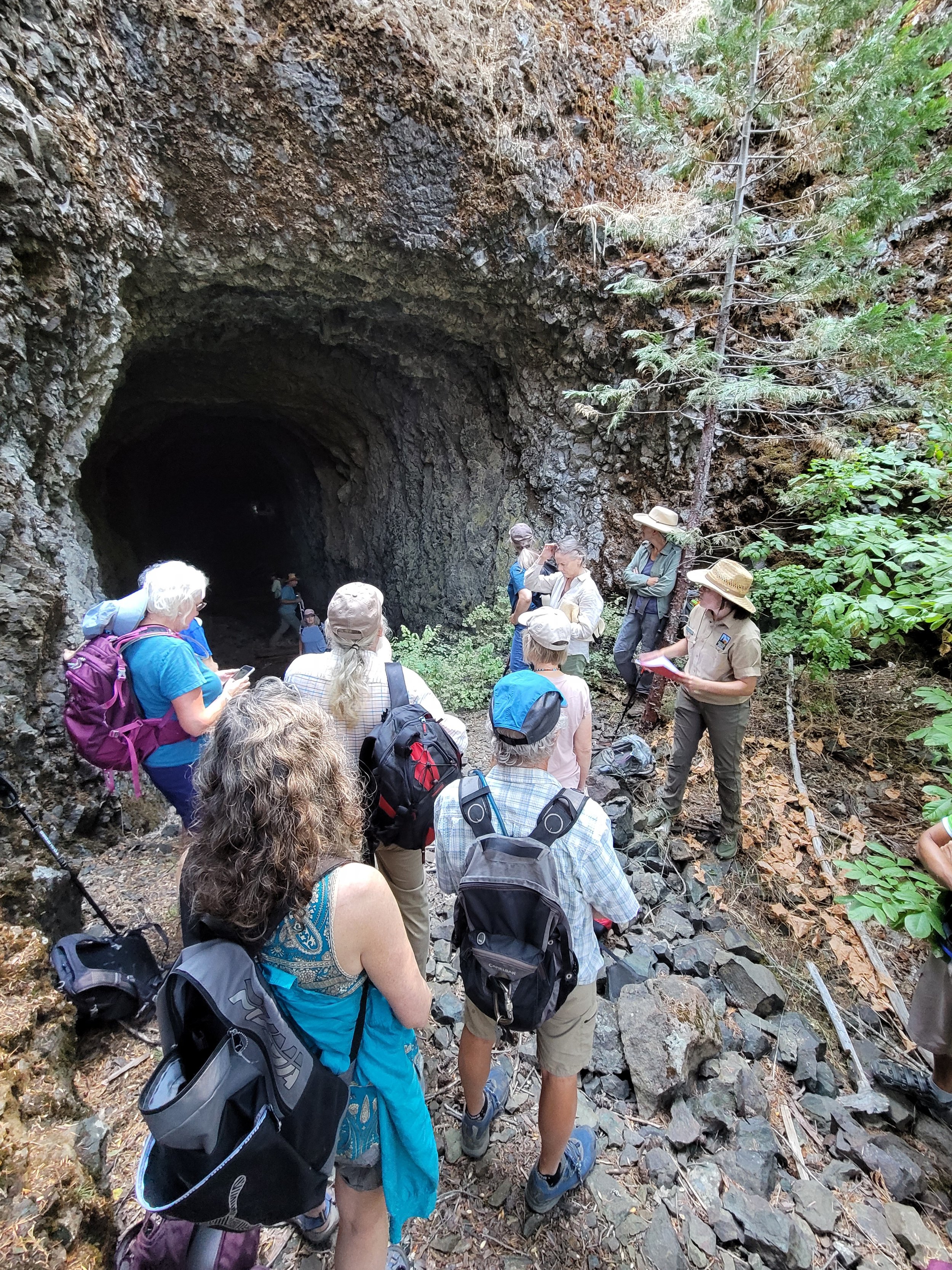
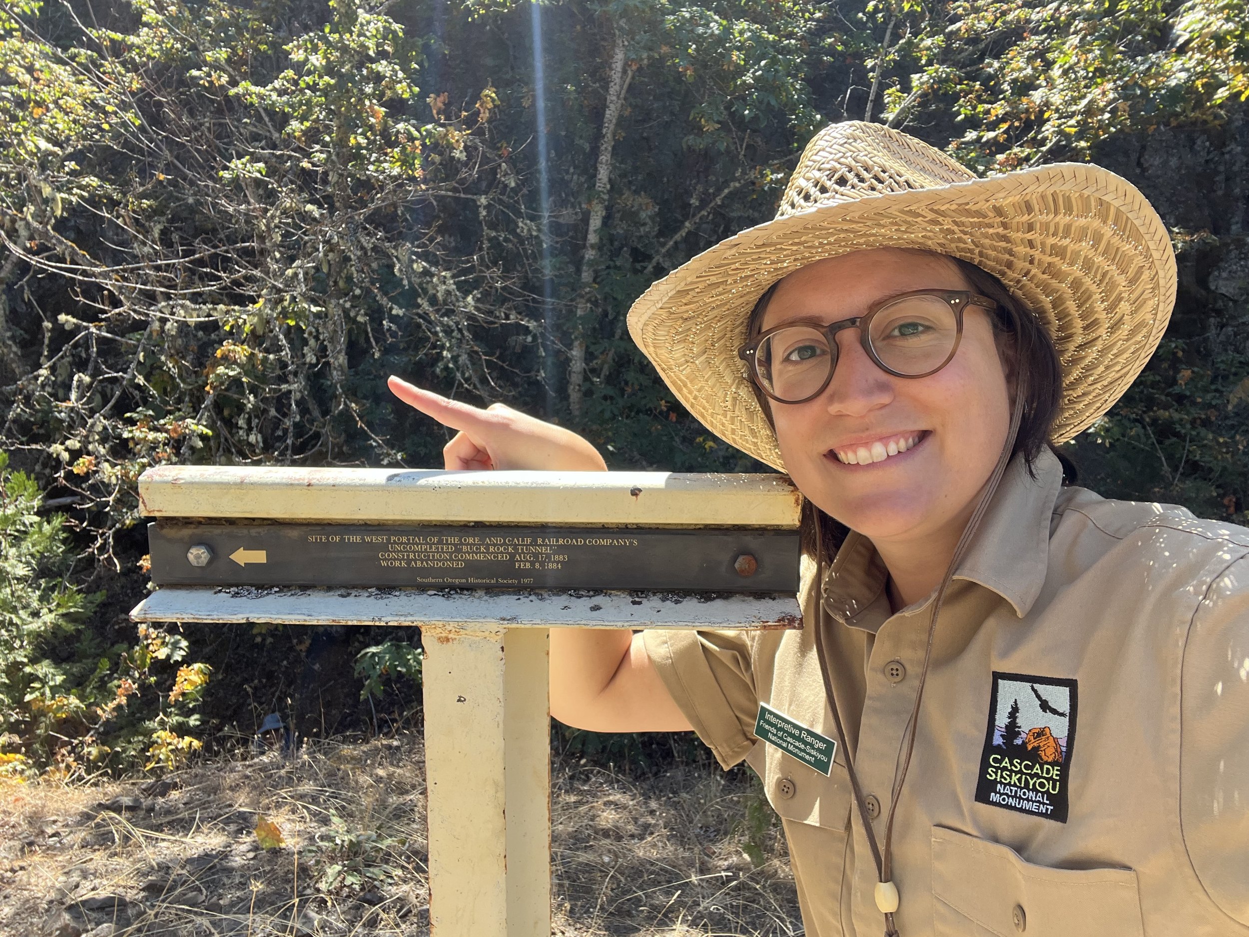
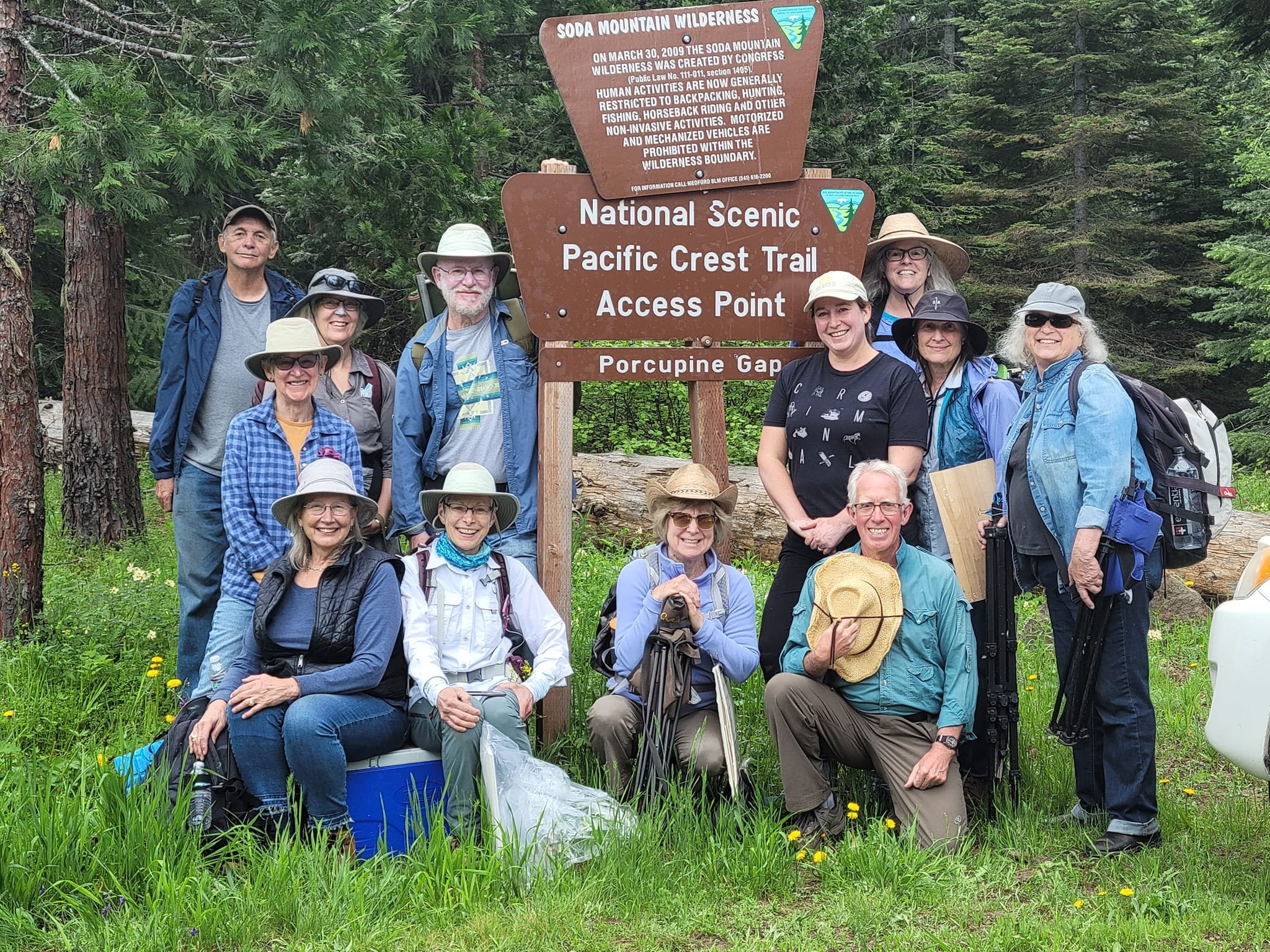
September 16th/17th Hike and Learn

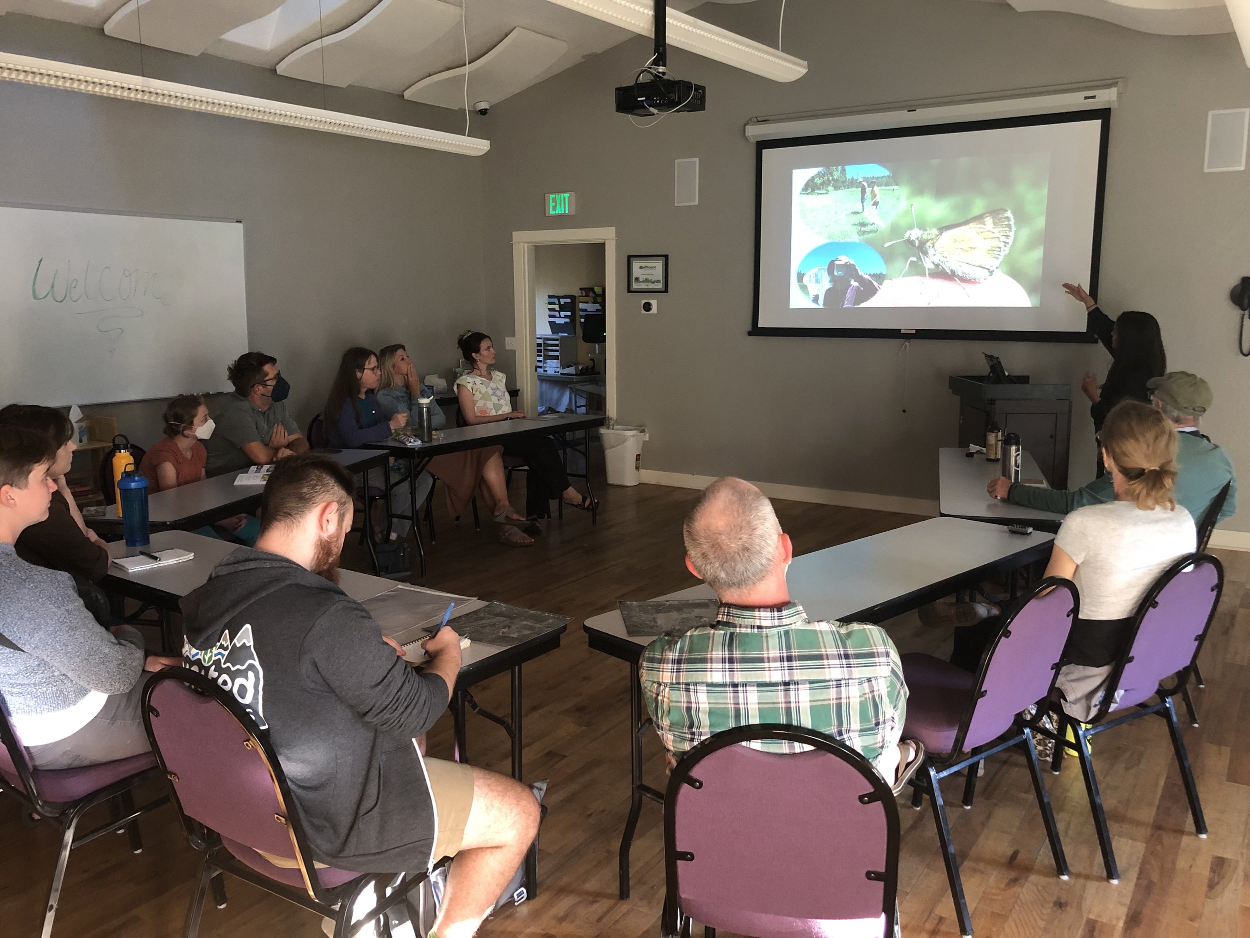
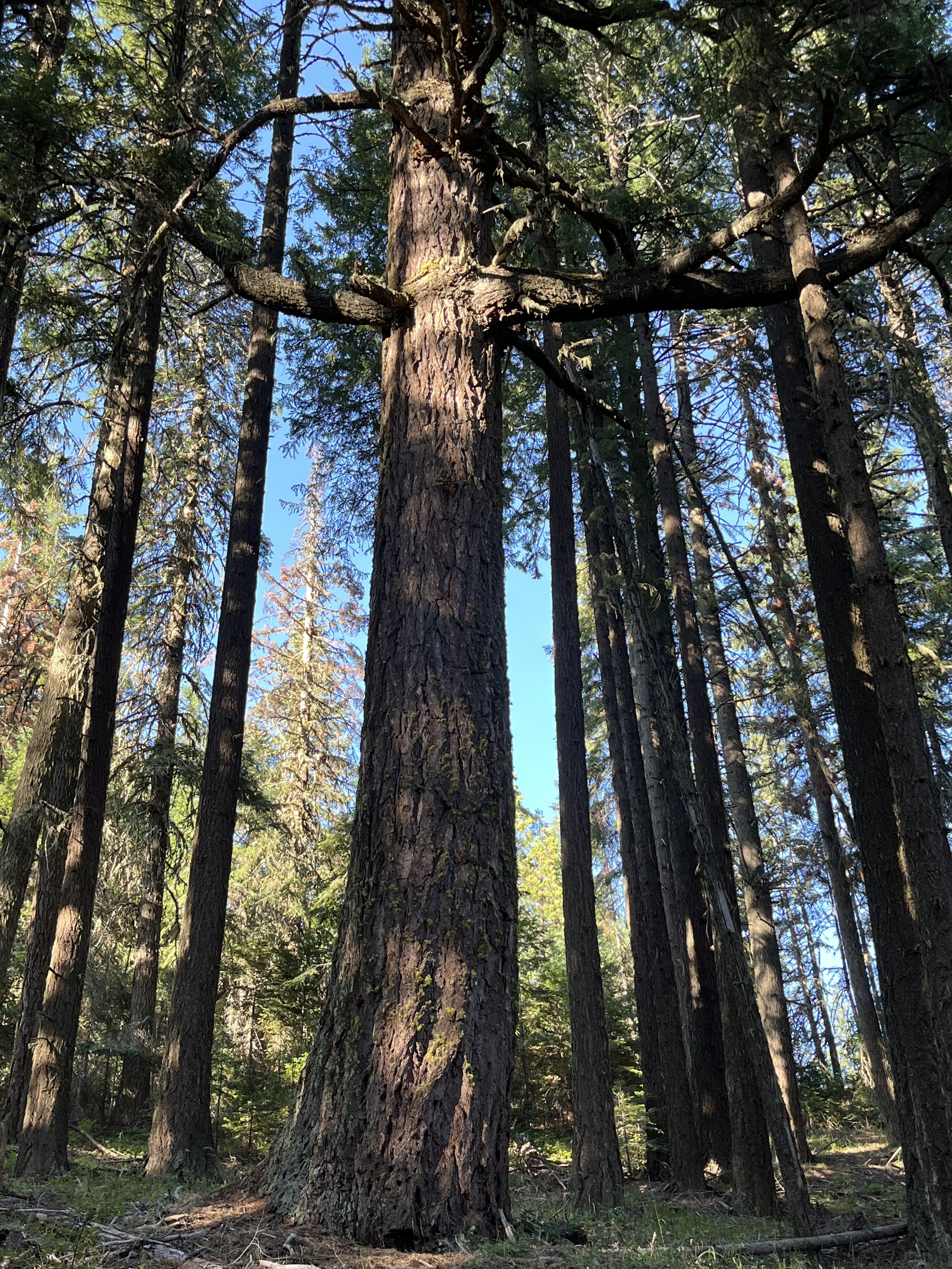
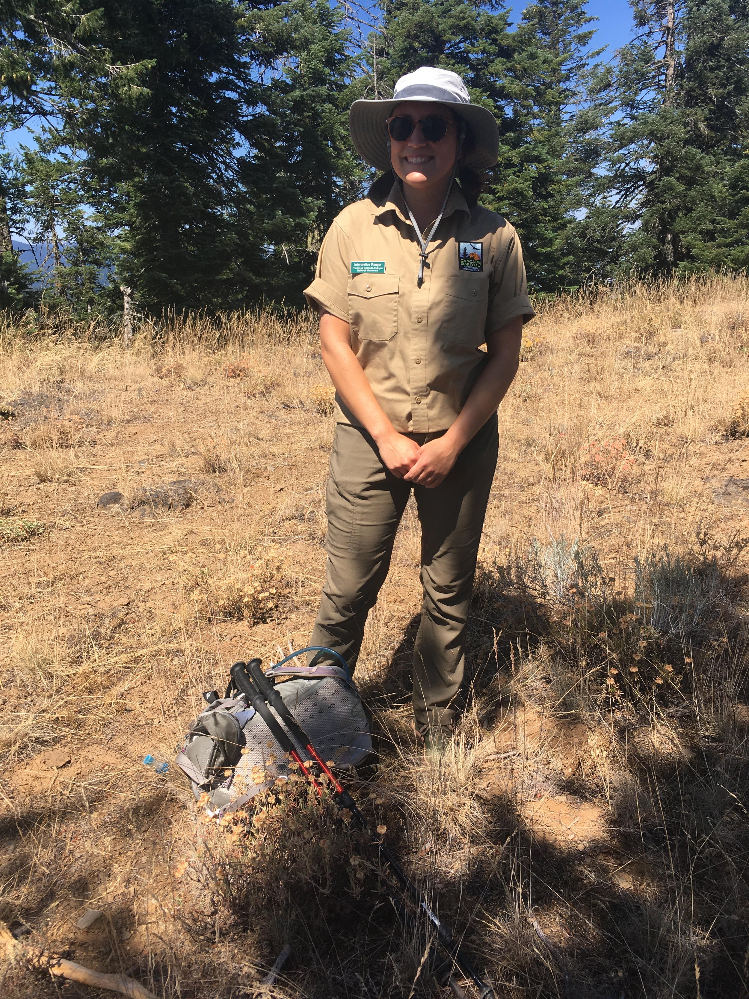
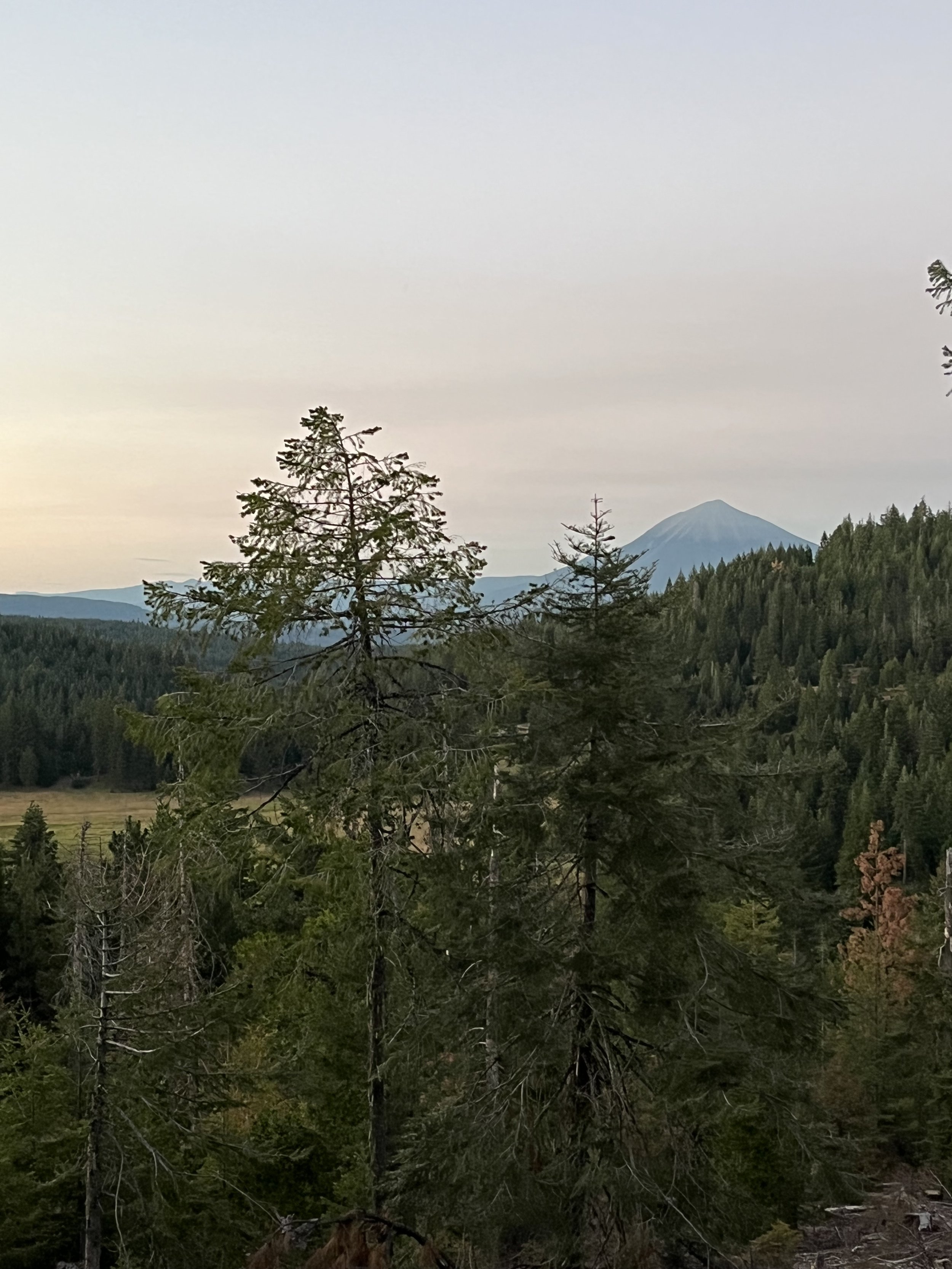
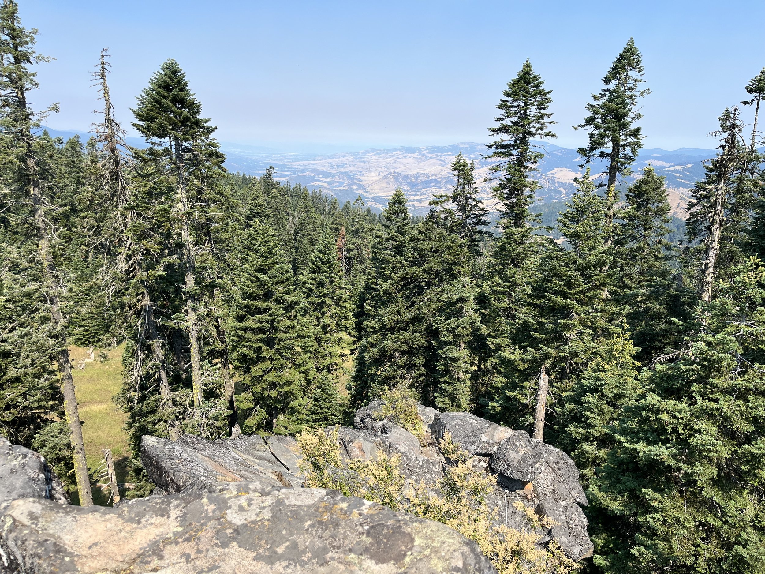
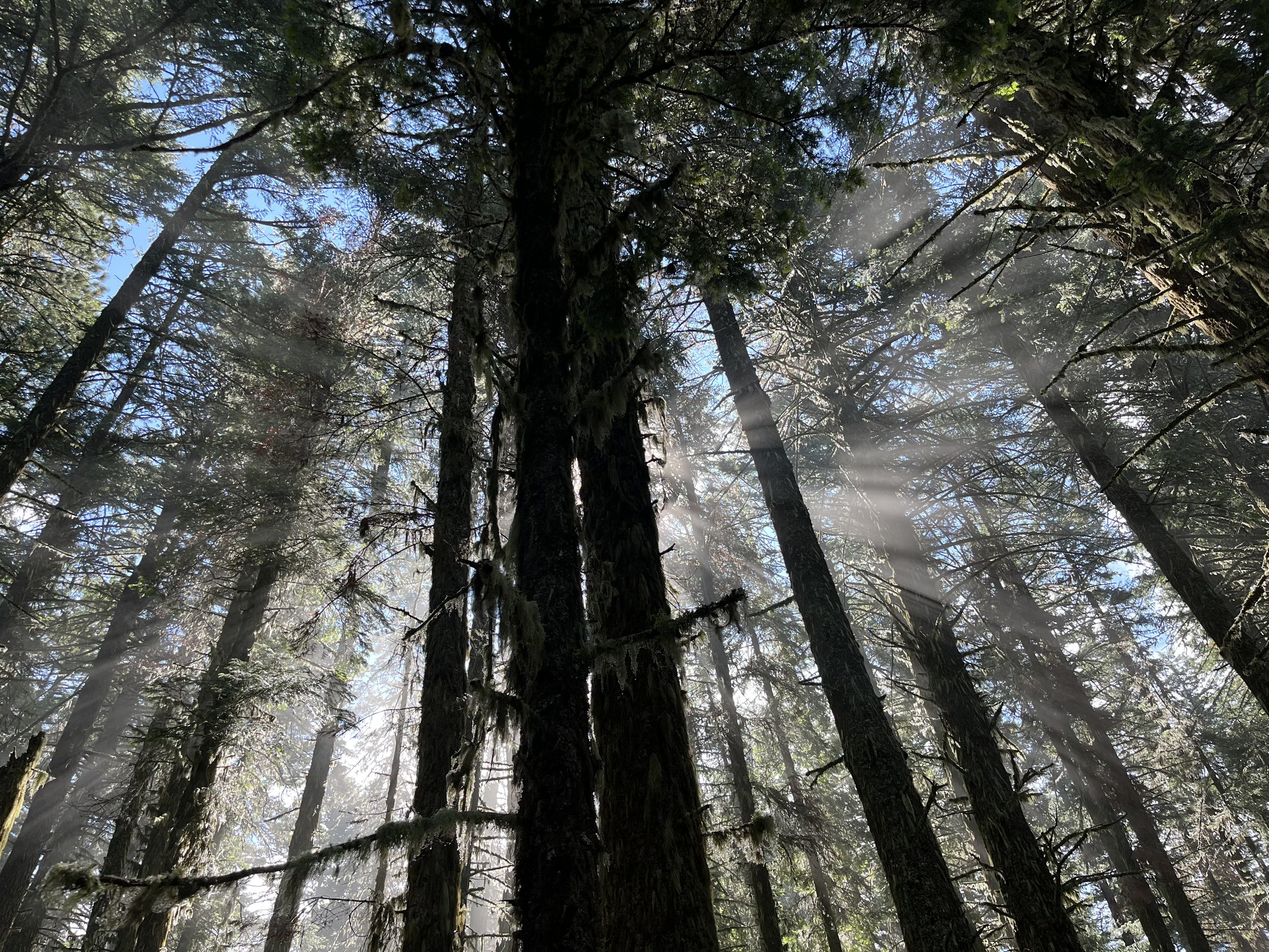
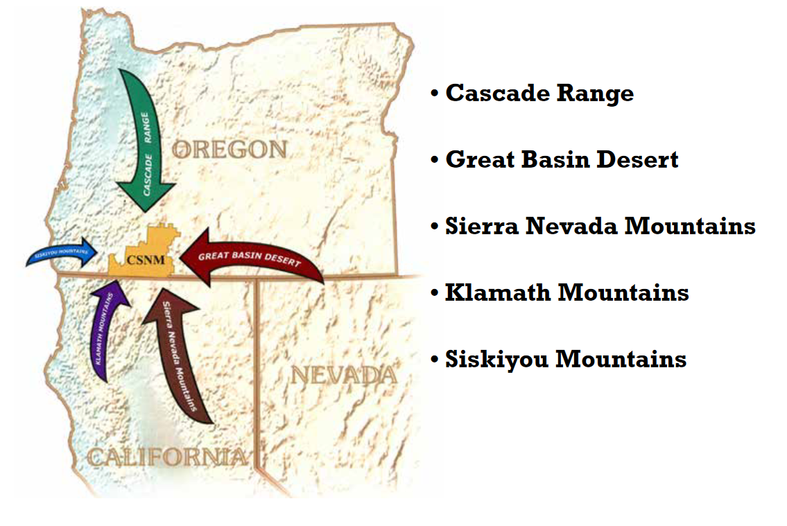
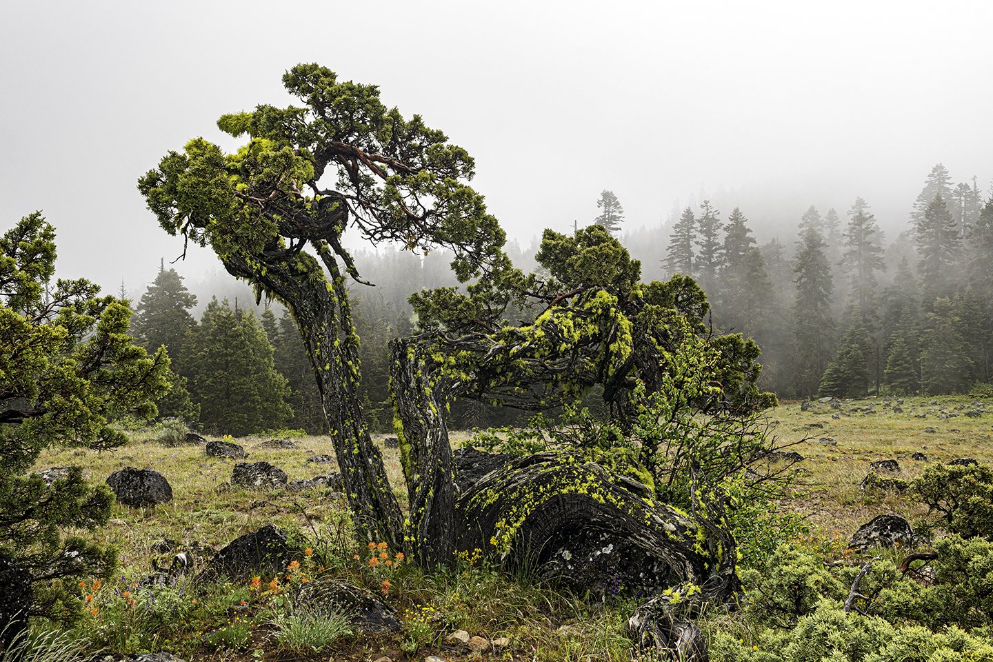
On Friday evening, Jeanine Moy, director of the Vesper Meadow Education Program, gave an inspiring talk sharing the details of how the organization came to be and all that they have accomplished in the Vesper Meadow Restoration Preserve since 2018 when it was established. The preserve is composed of two interconnected upland wet meadows surrounded by mixed conifer forest in the southern Cascades. The parcels total about 1,000 acres and are bordered by the Monument and other BLM lands.

Jeanine stewards the preserve and organizes opportunities for the community to get engaged in hands-on restoration projects outdoors. Additionally, there are tribal partnerships for native food cultivation, environmental education programs, community science and monitoring projects, and a growing list of artists-in-partnership that contribute to the network.

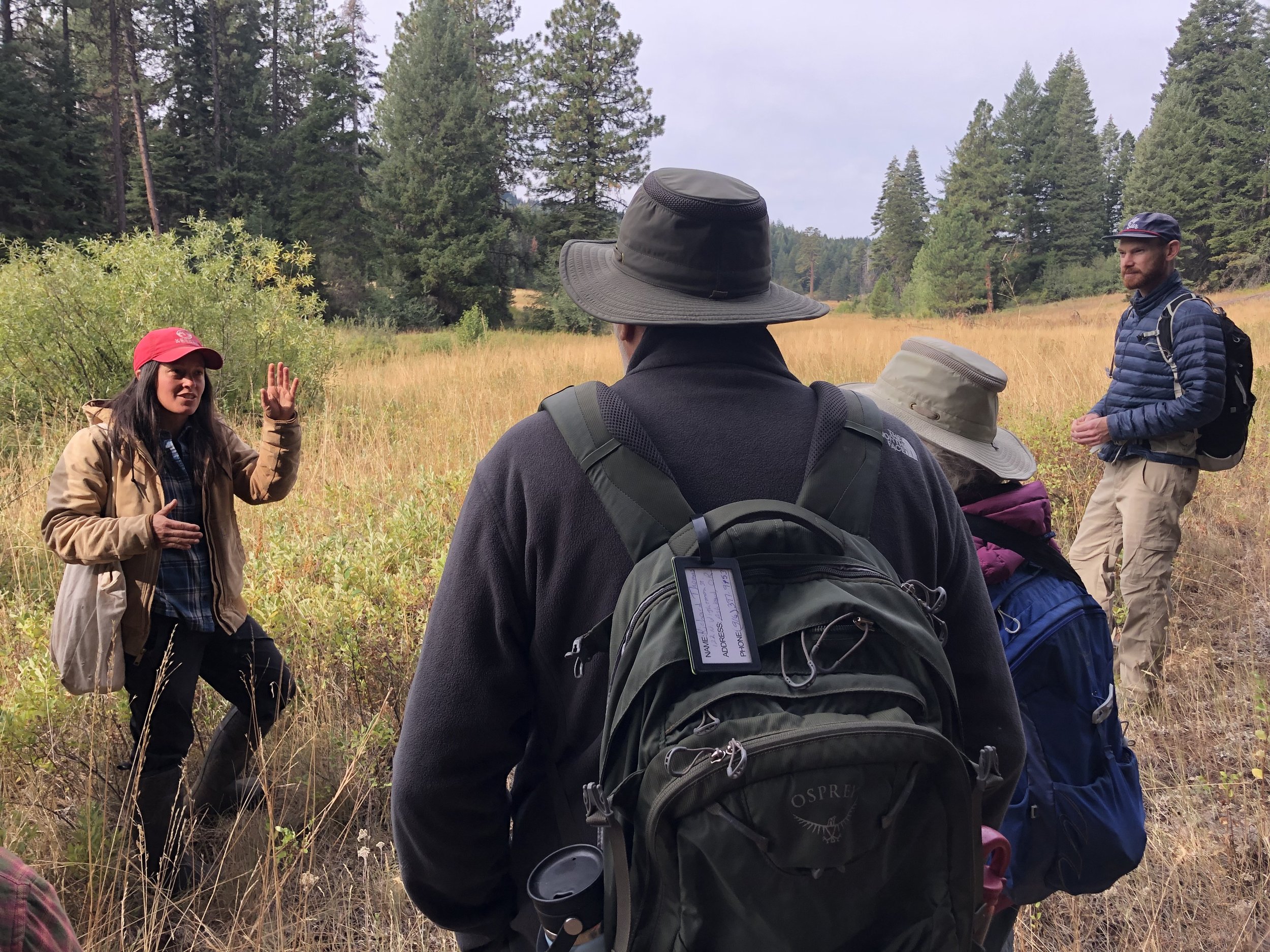
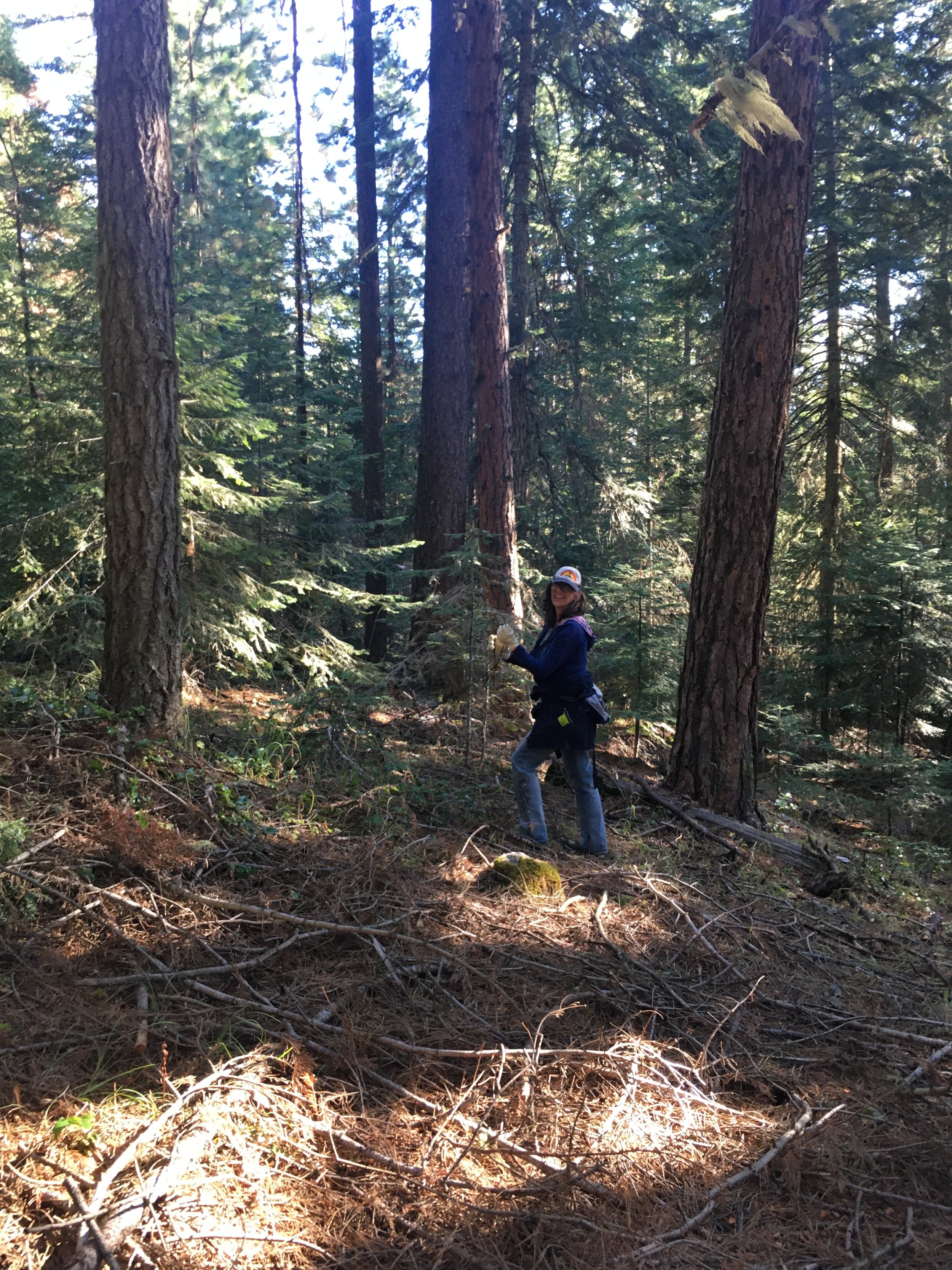
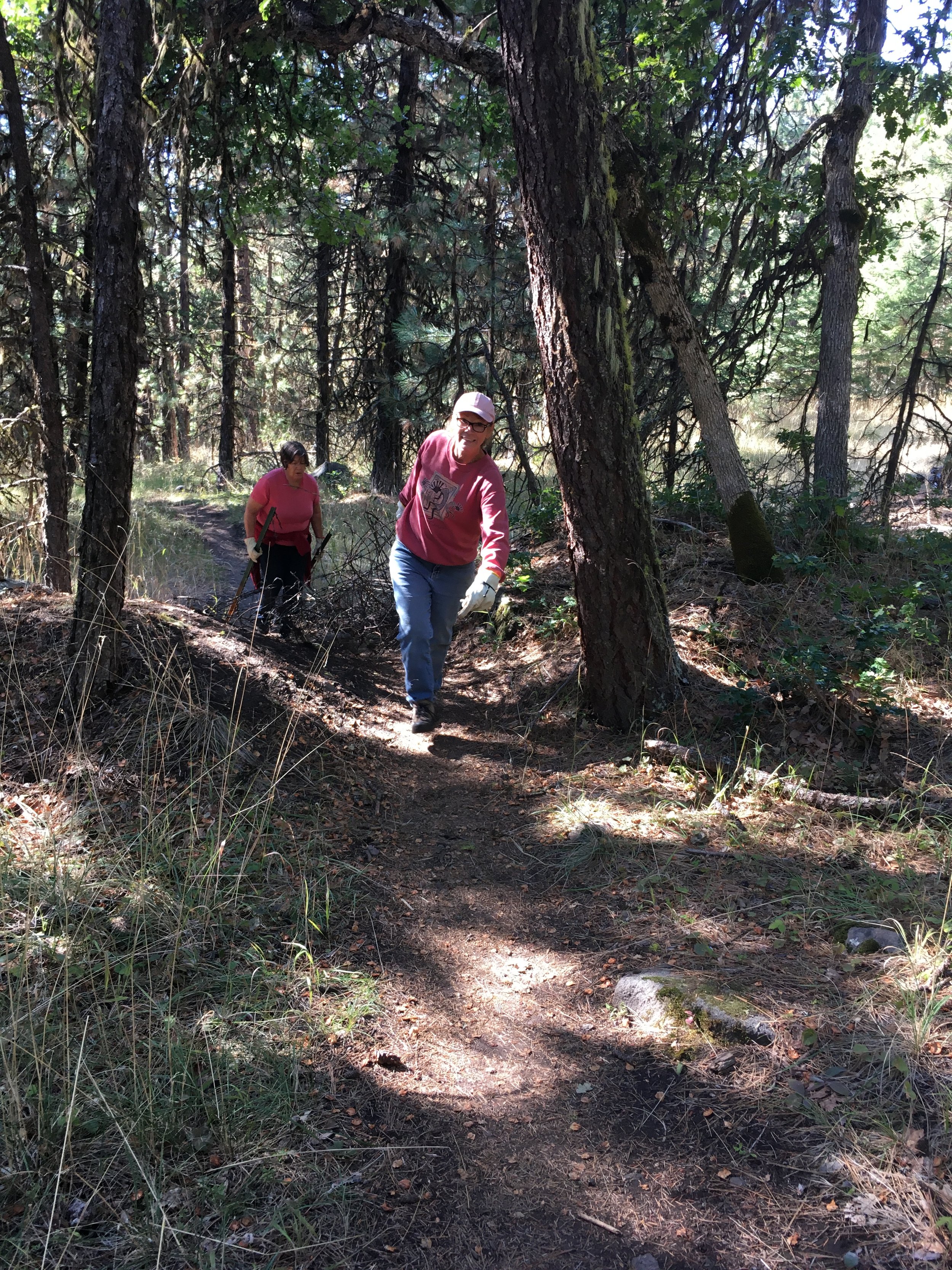
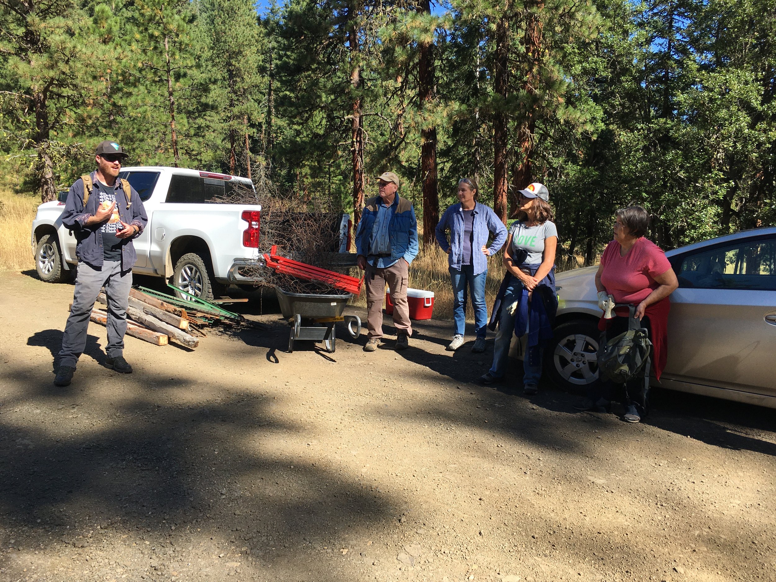
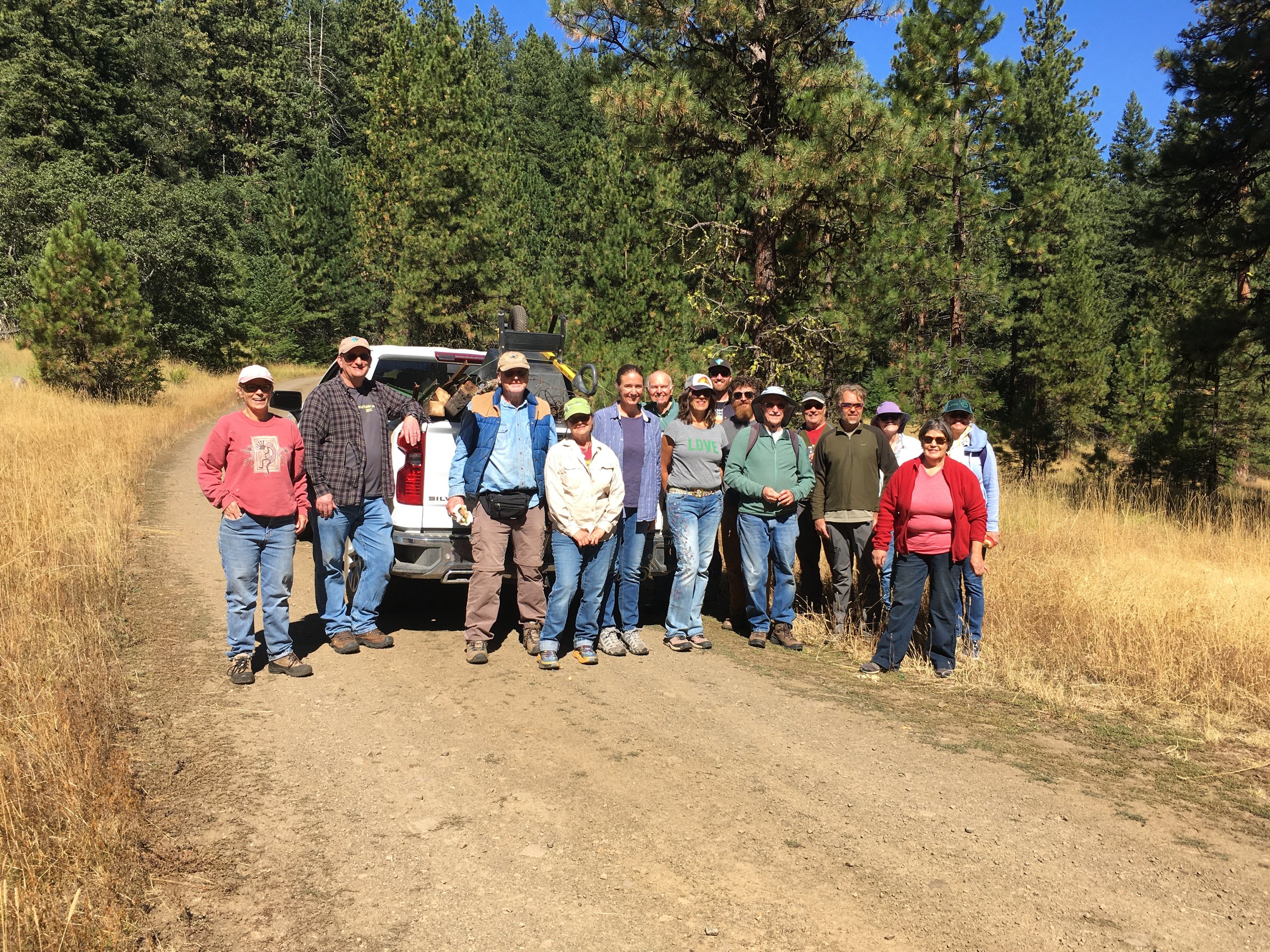
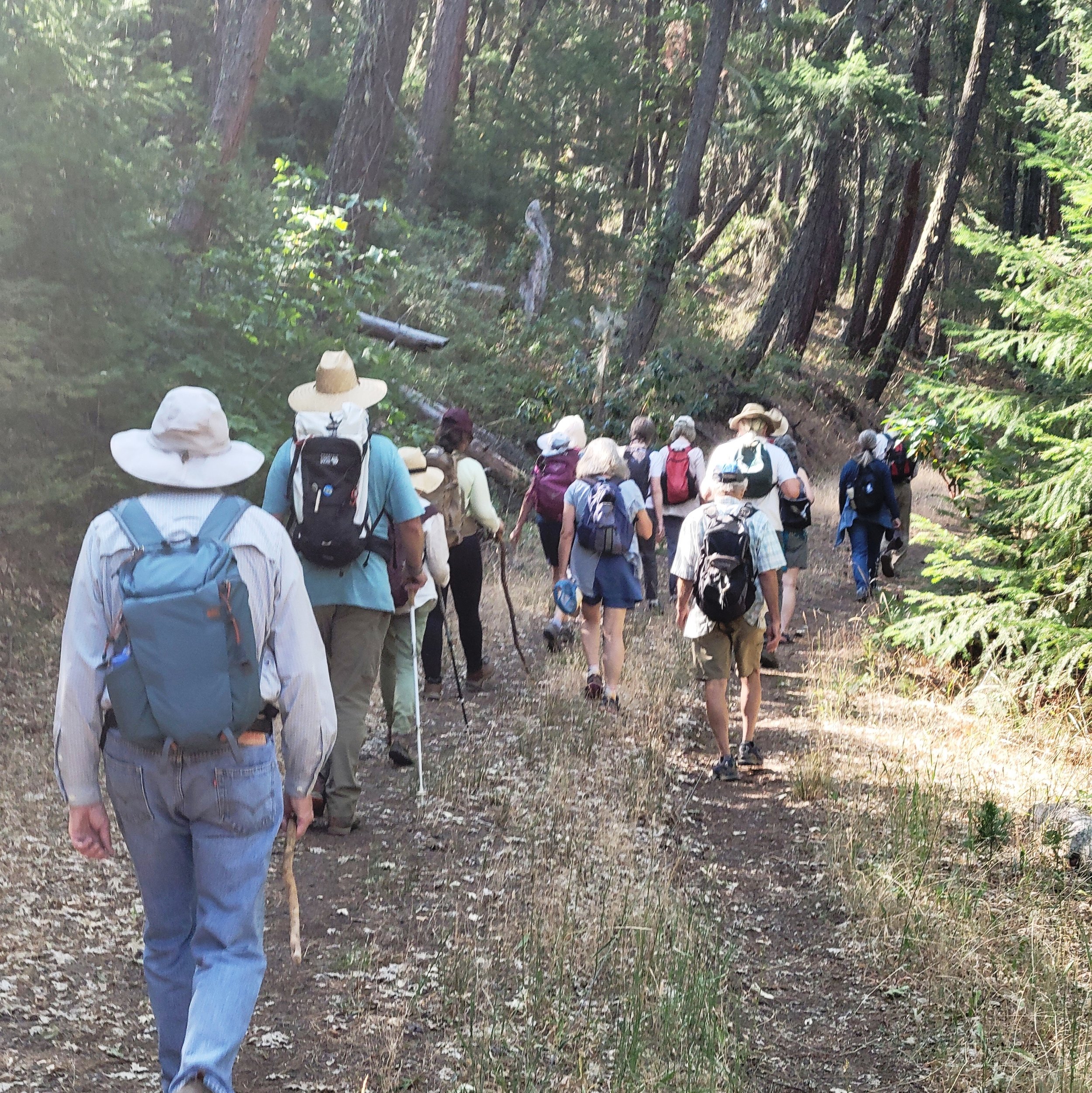
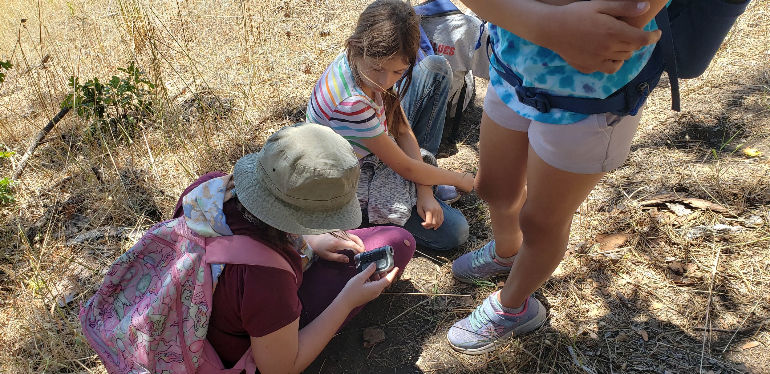
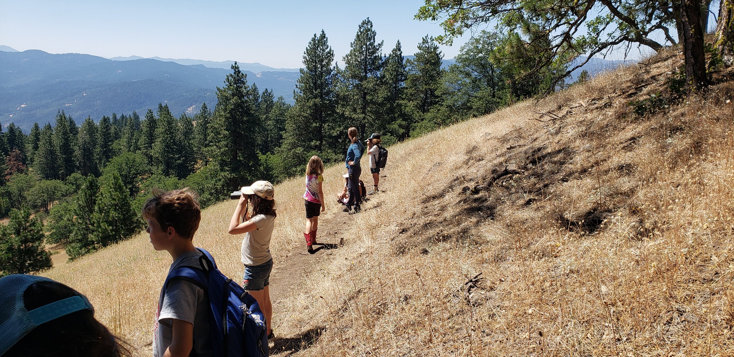
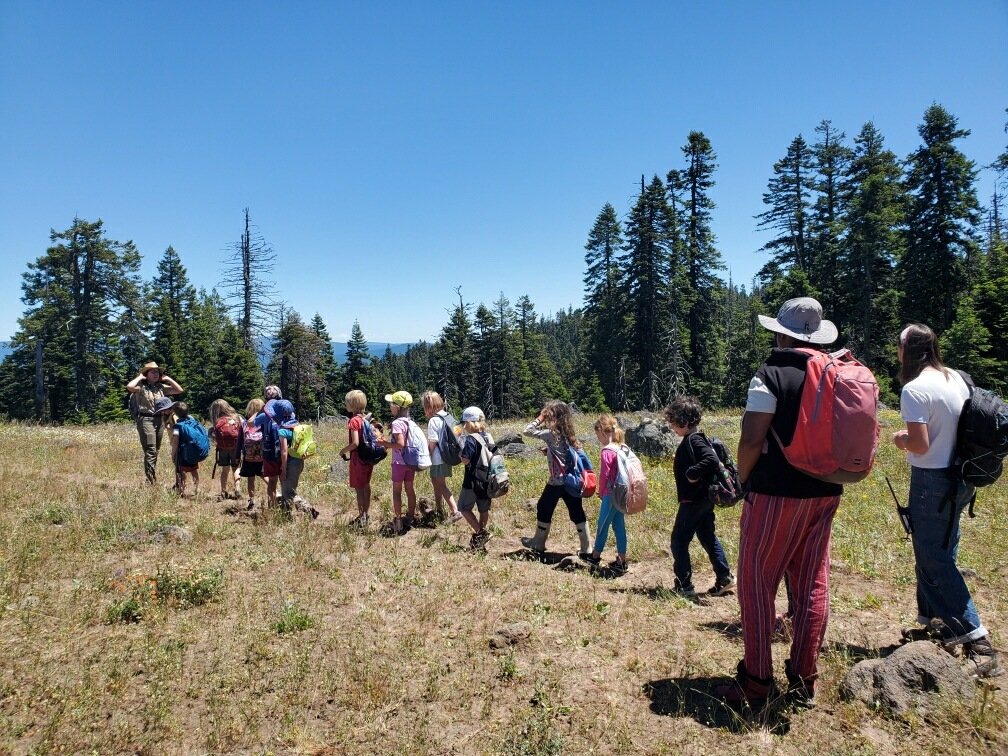
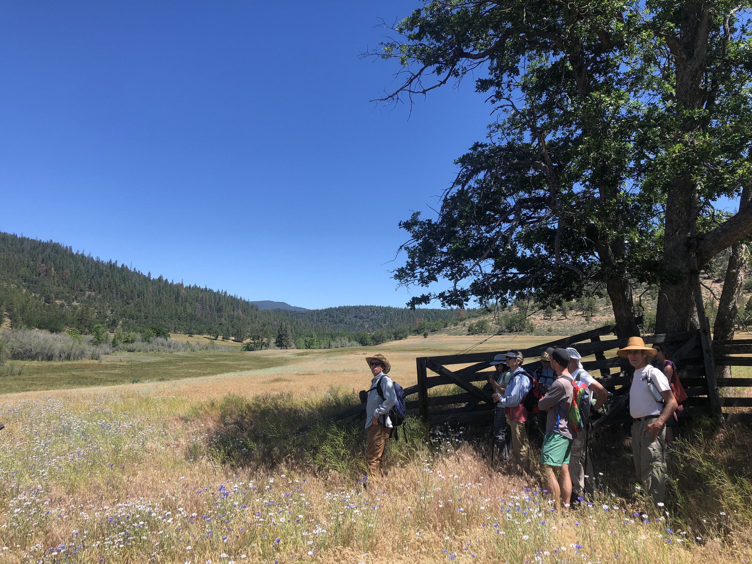
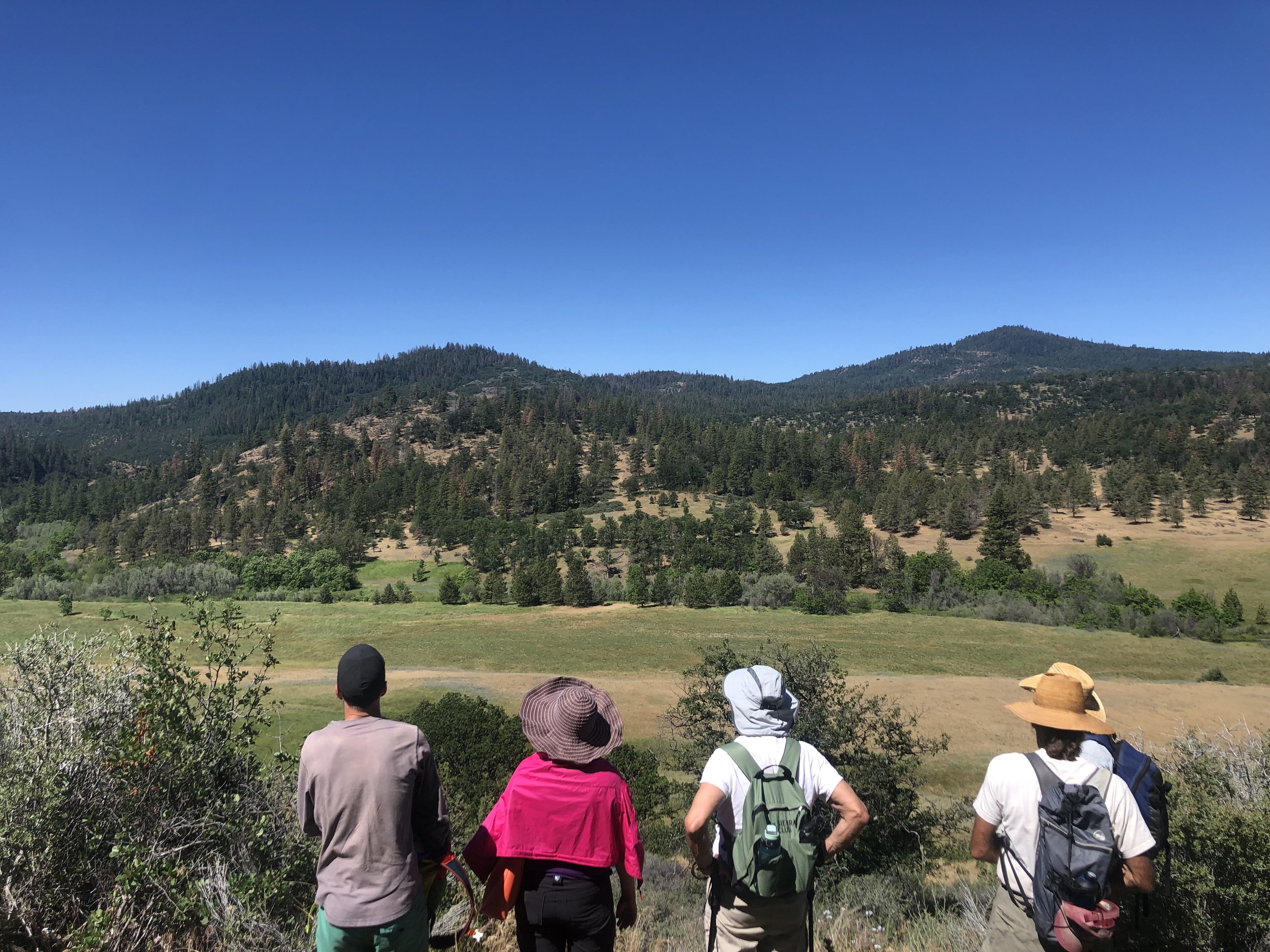
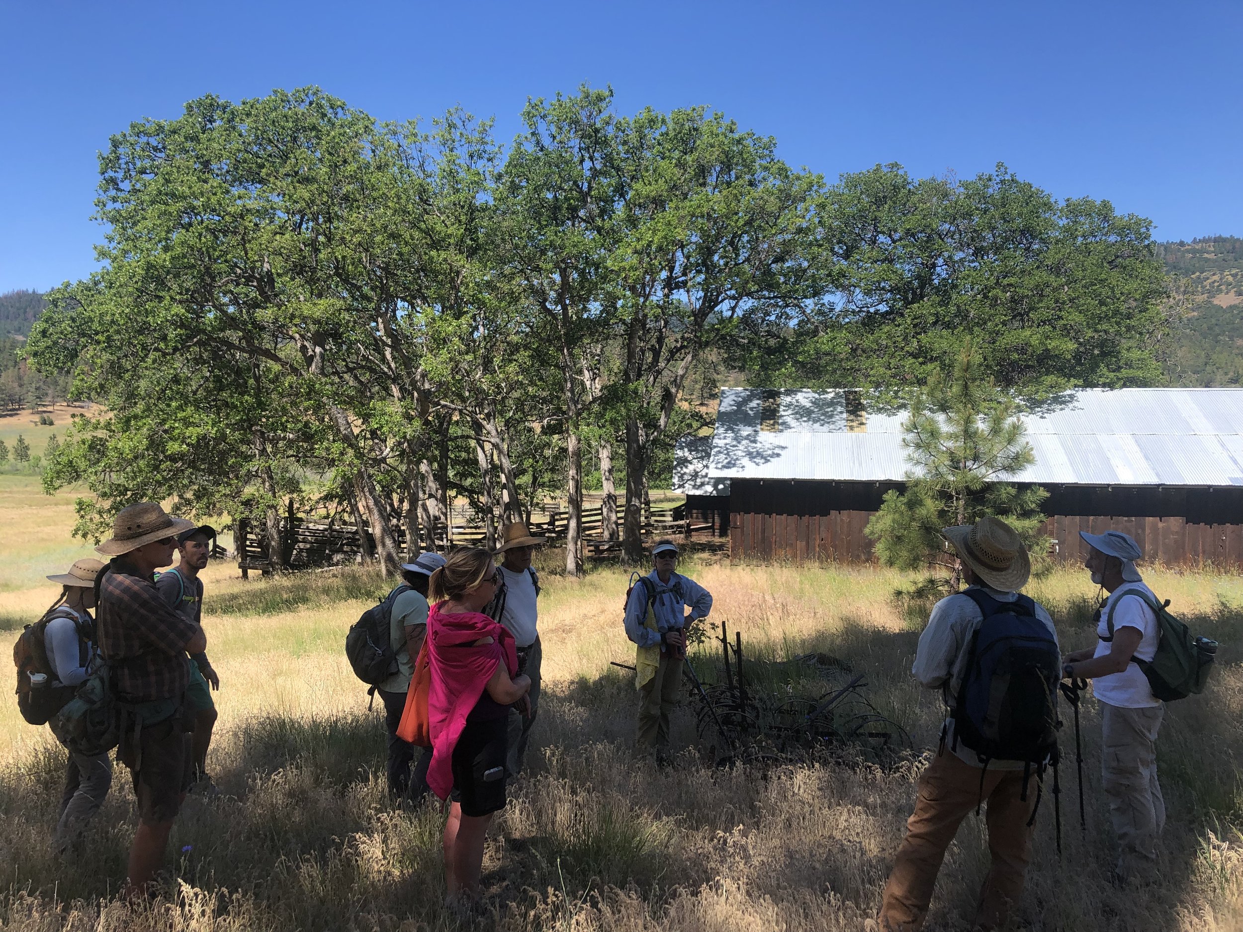
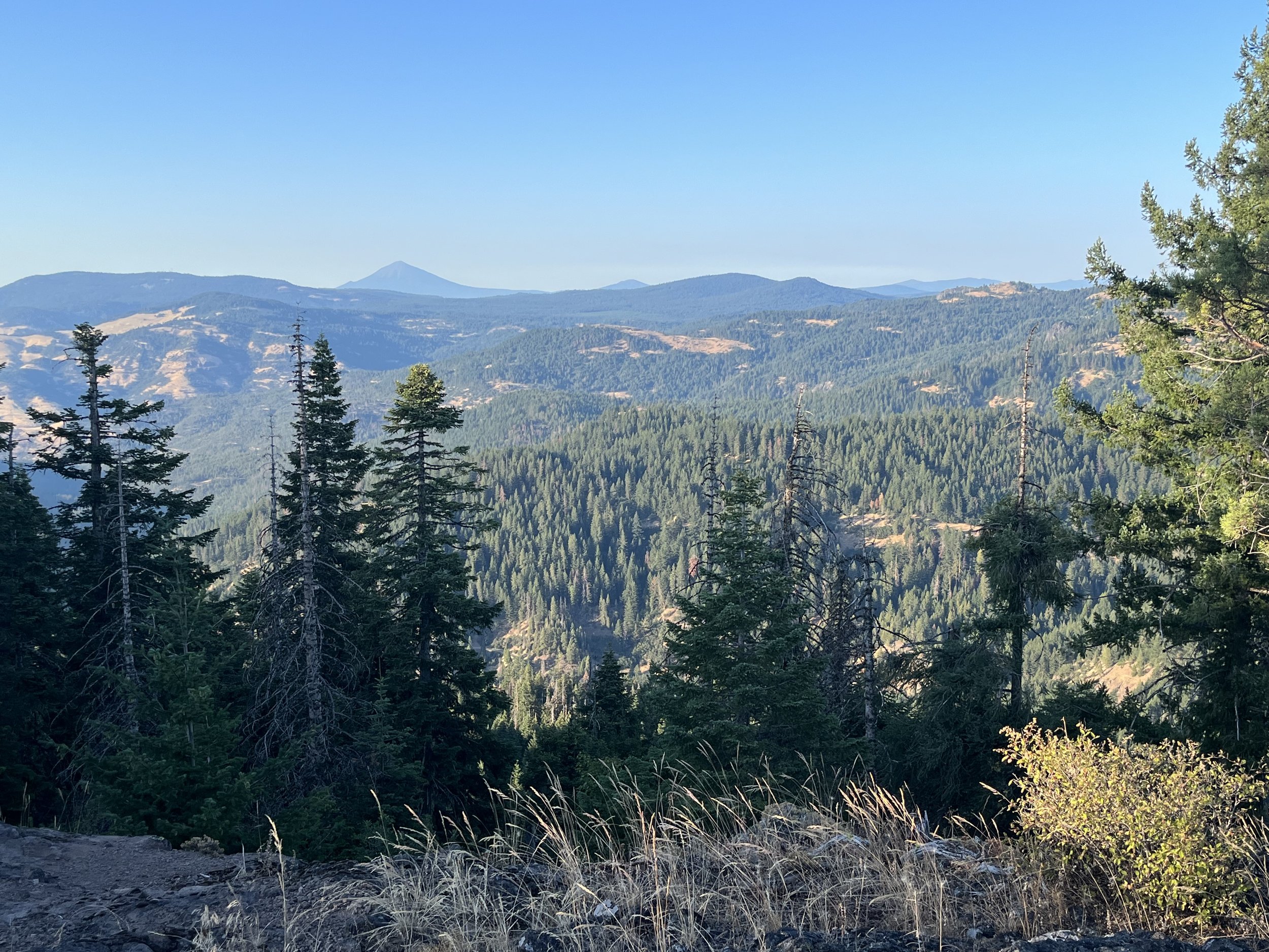
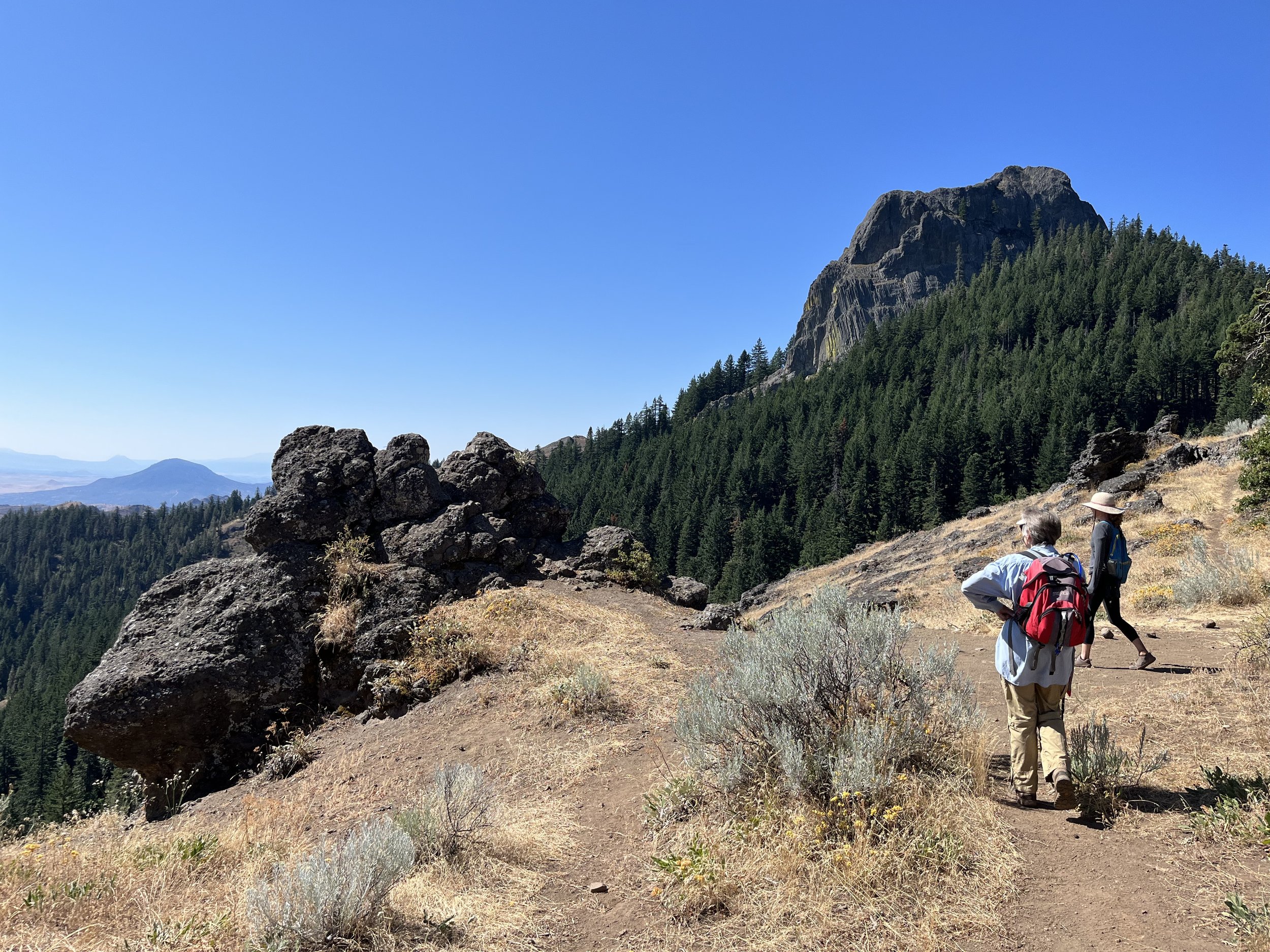
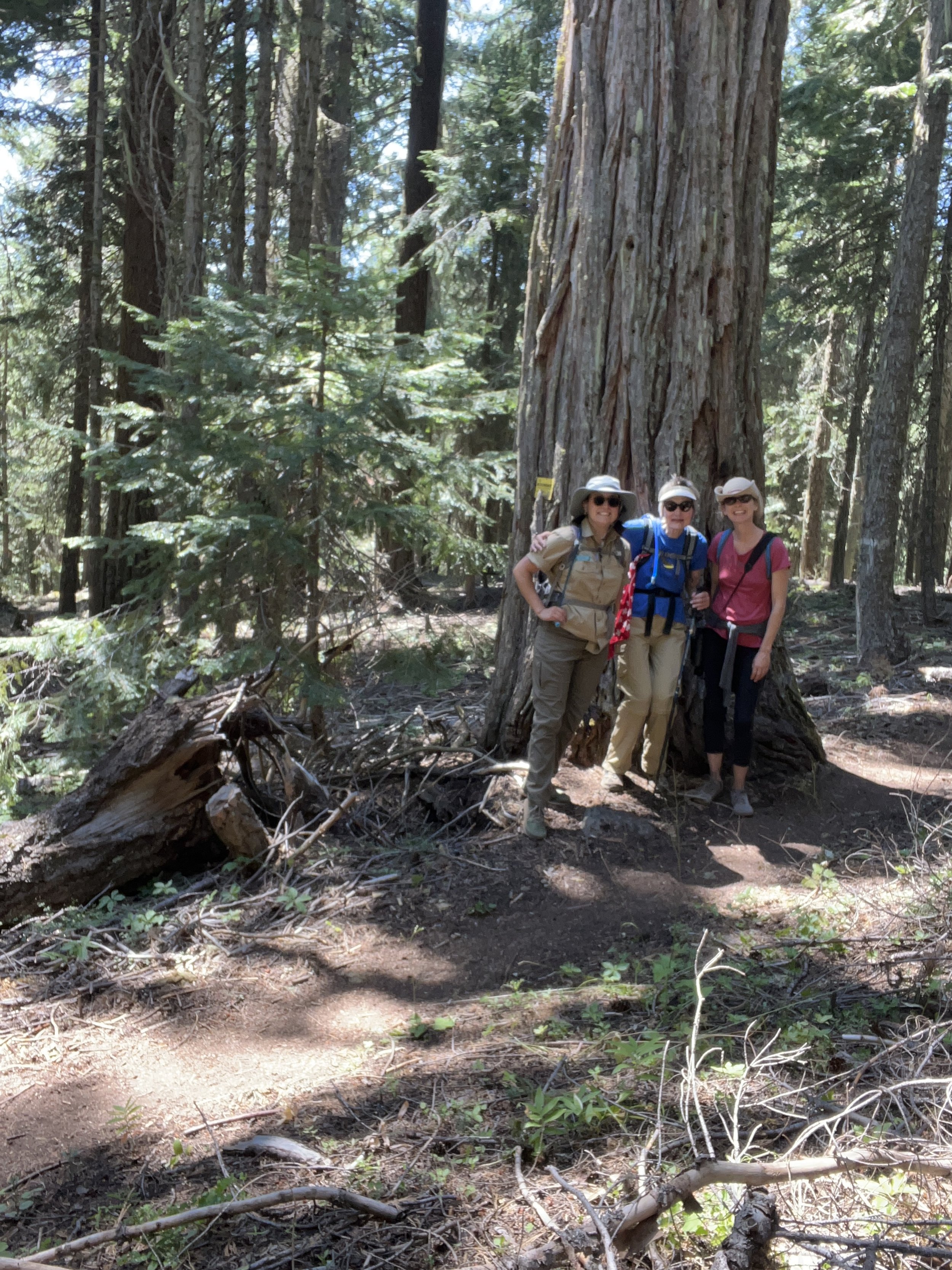
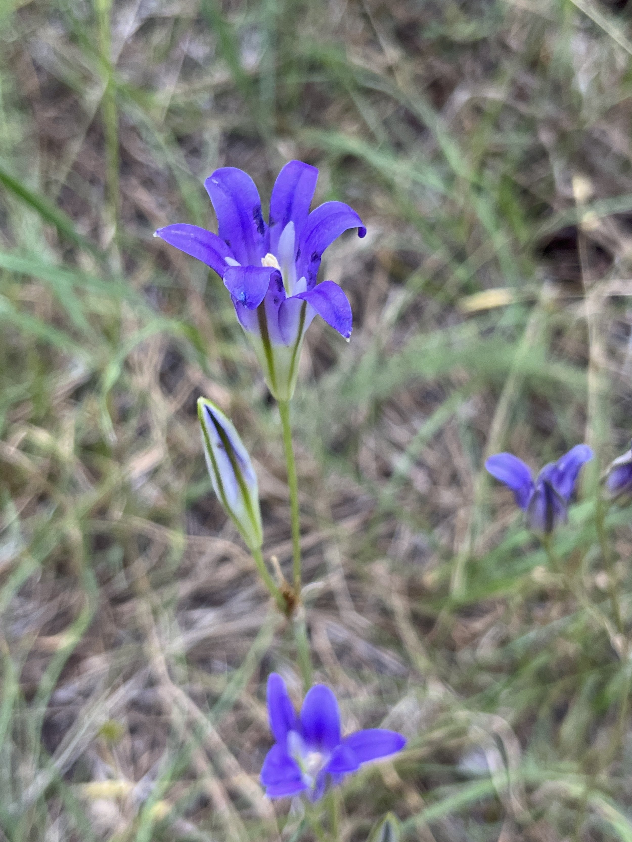
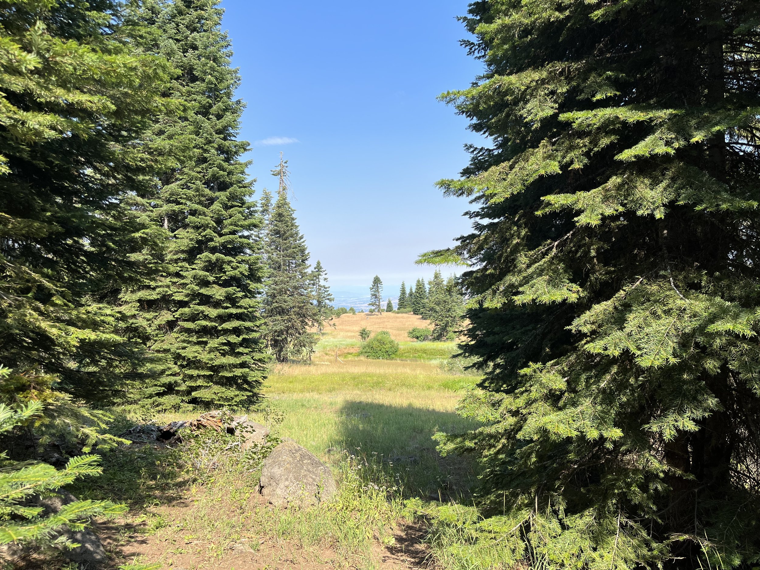
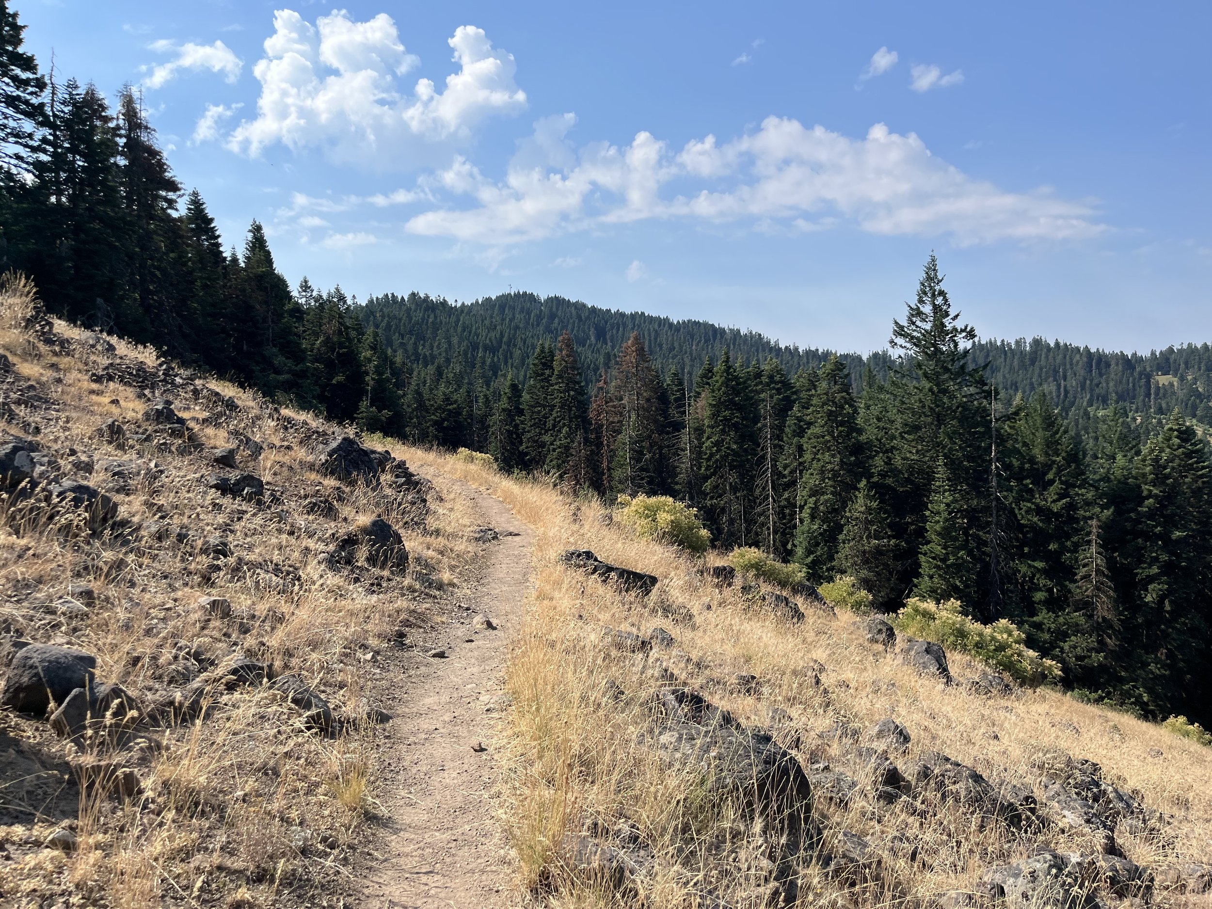
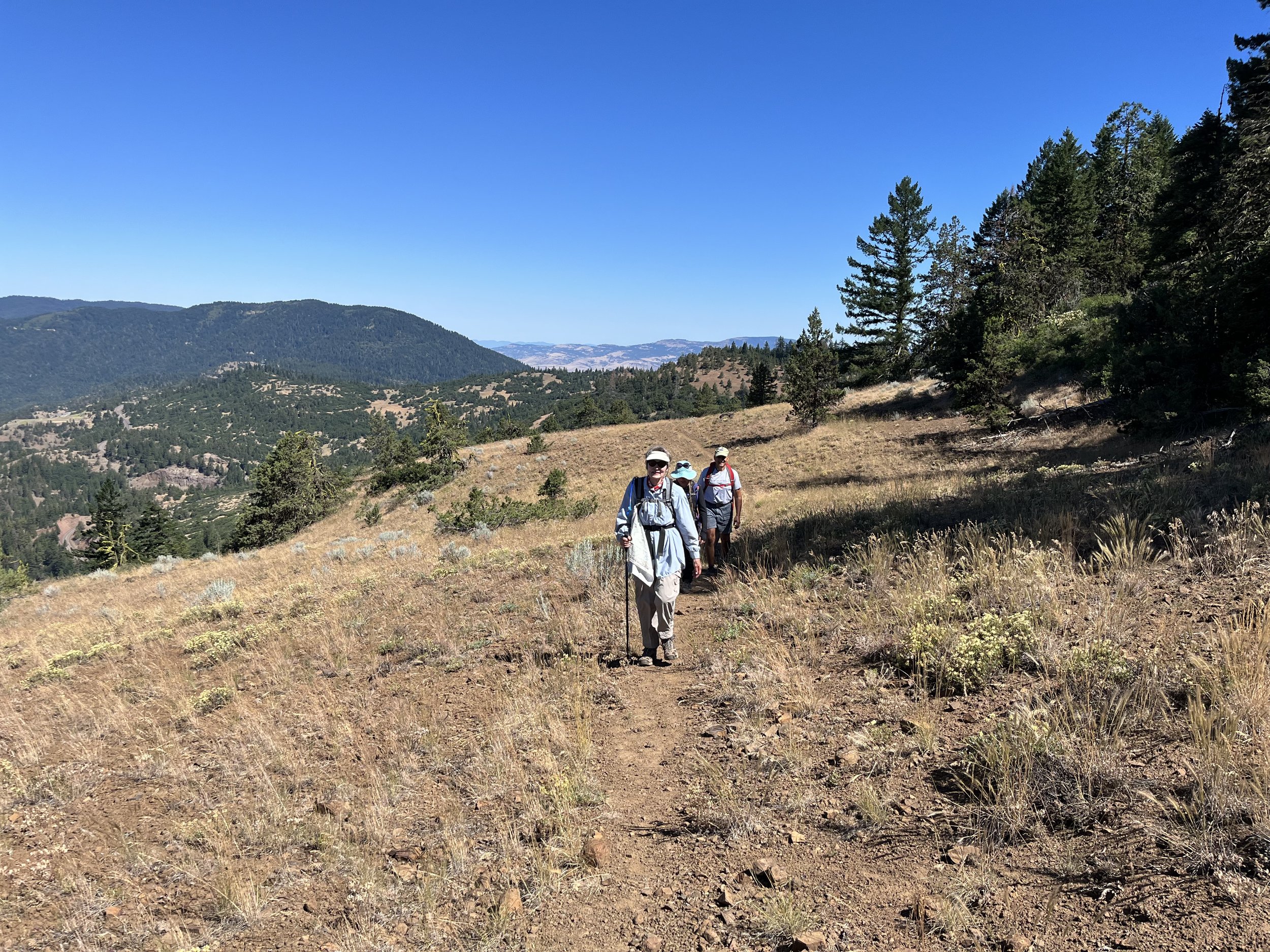
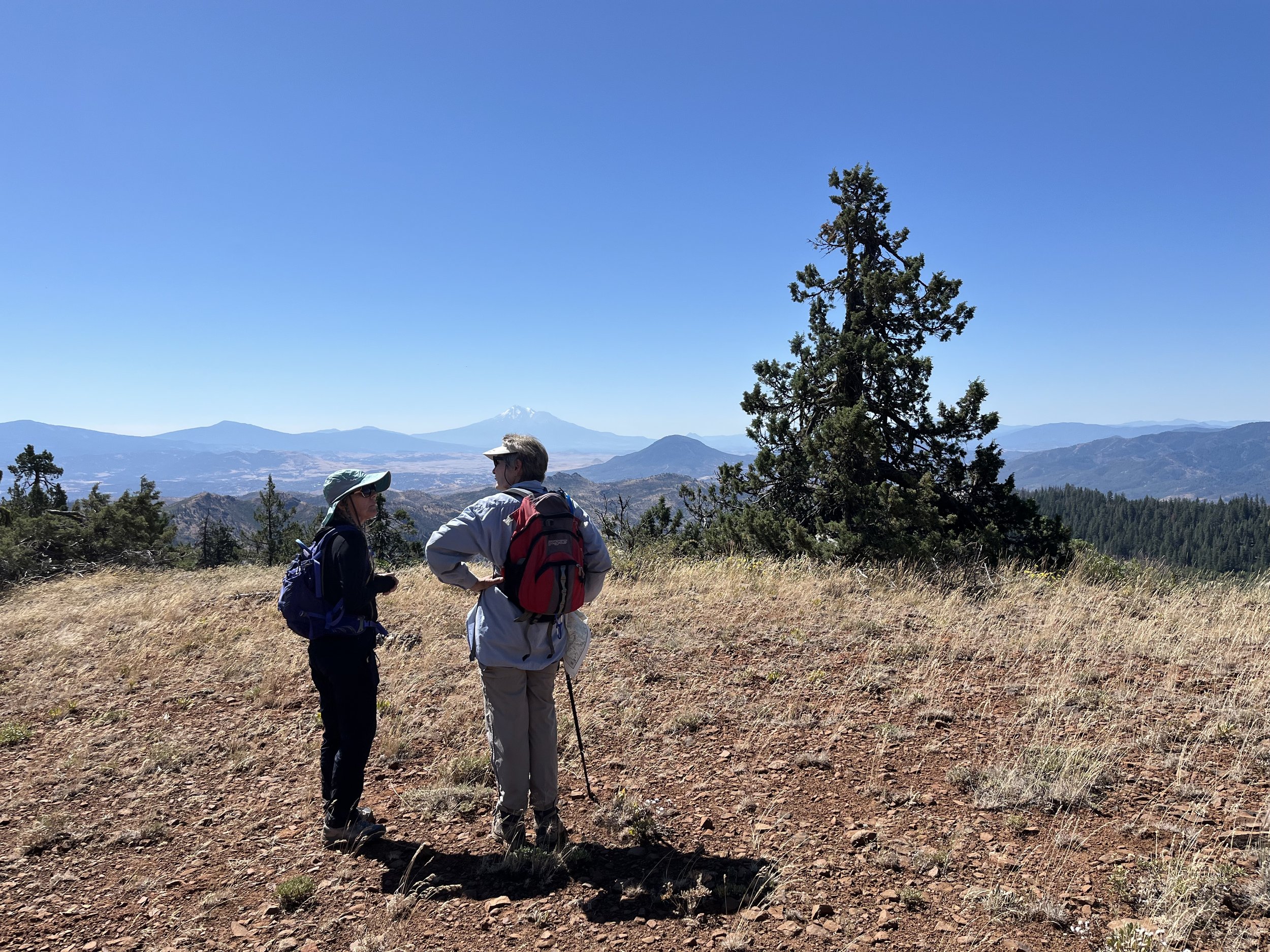
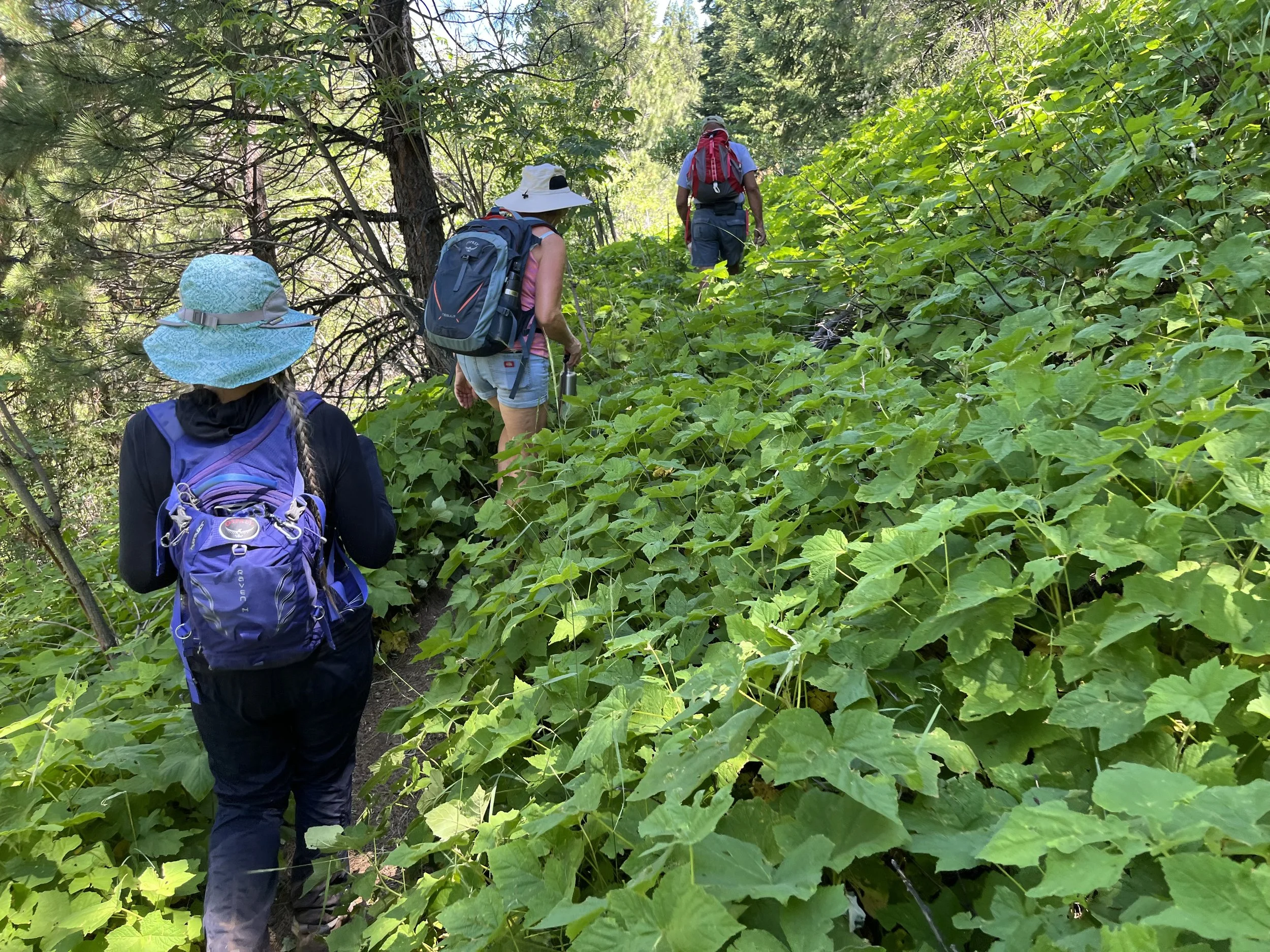
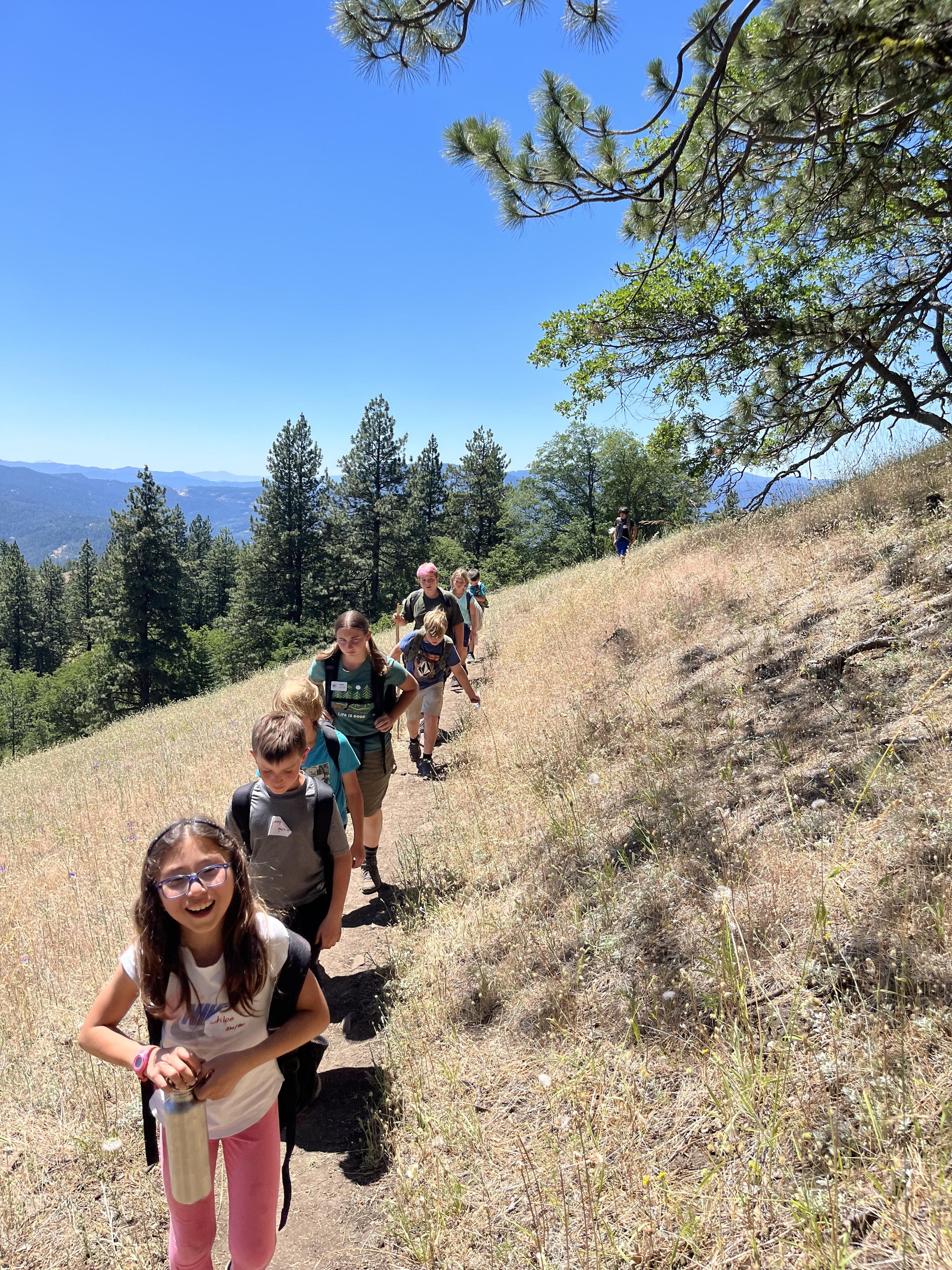
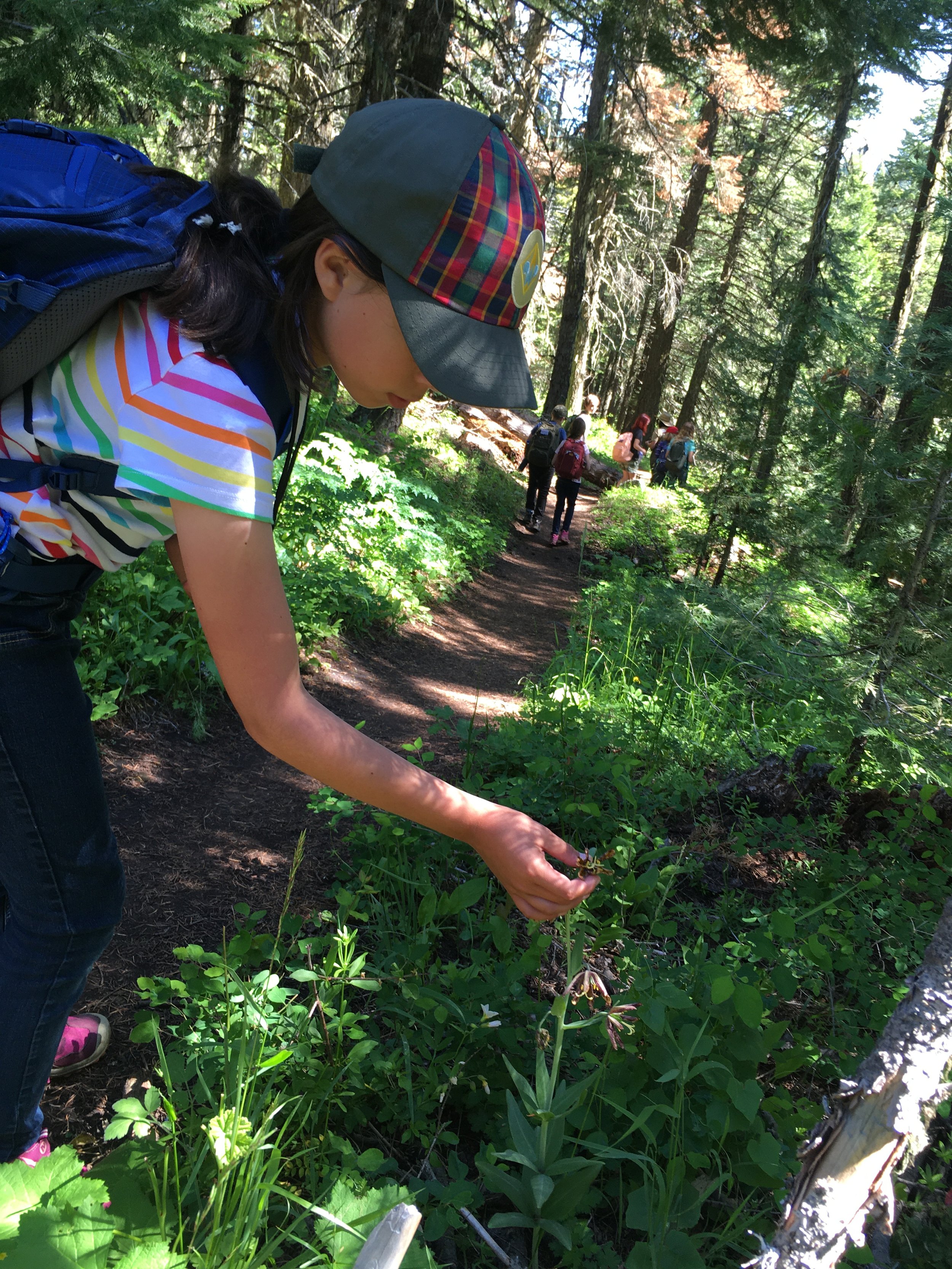
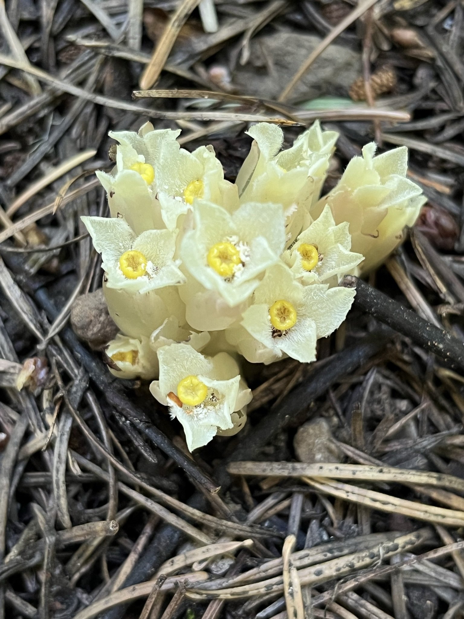
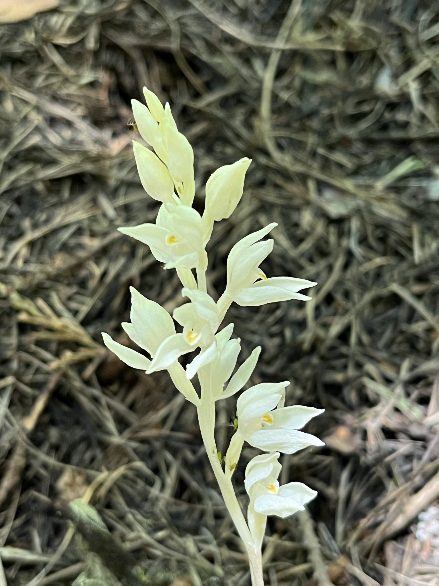
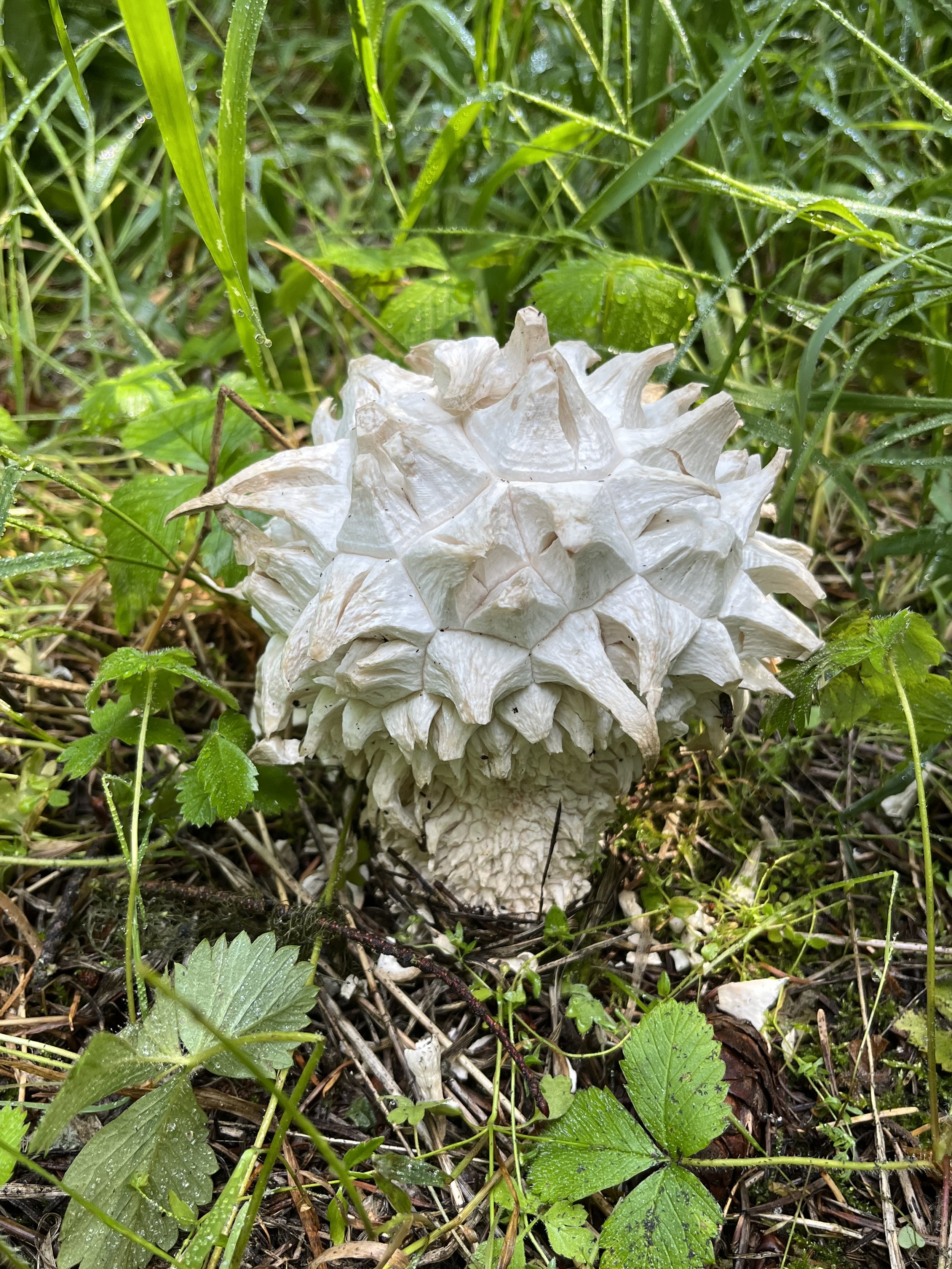
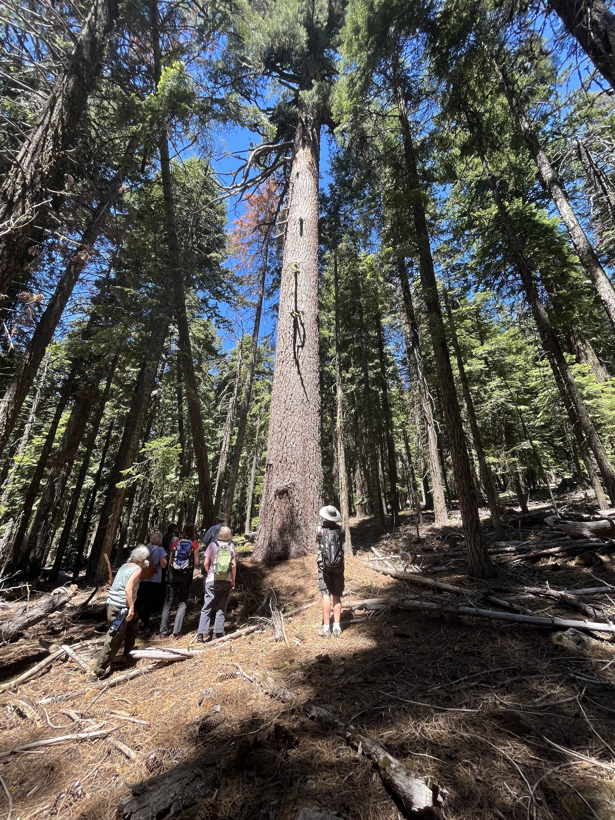
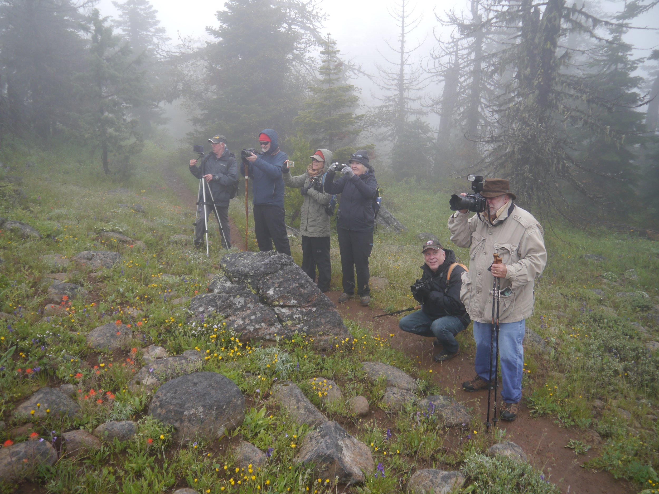
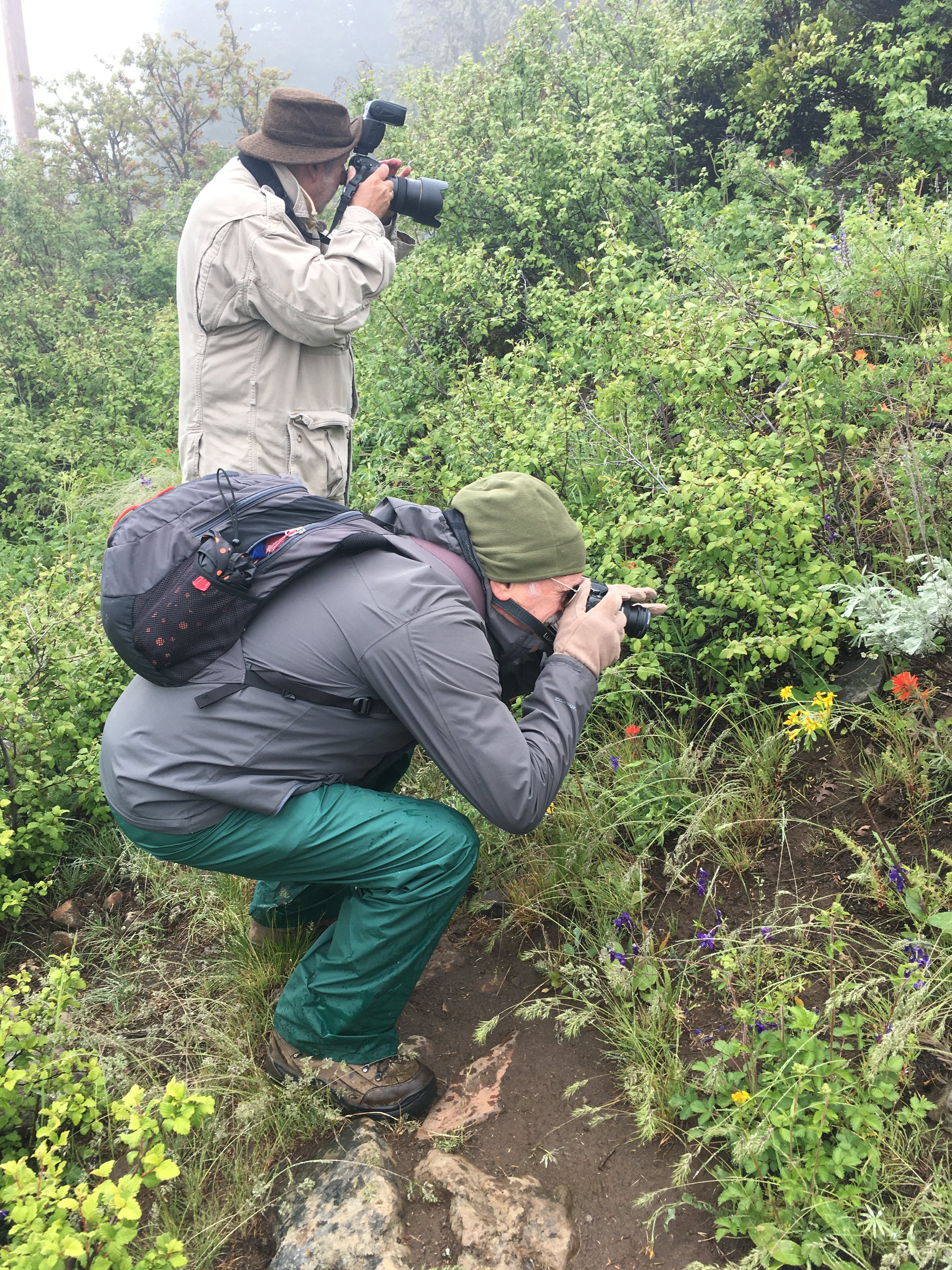
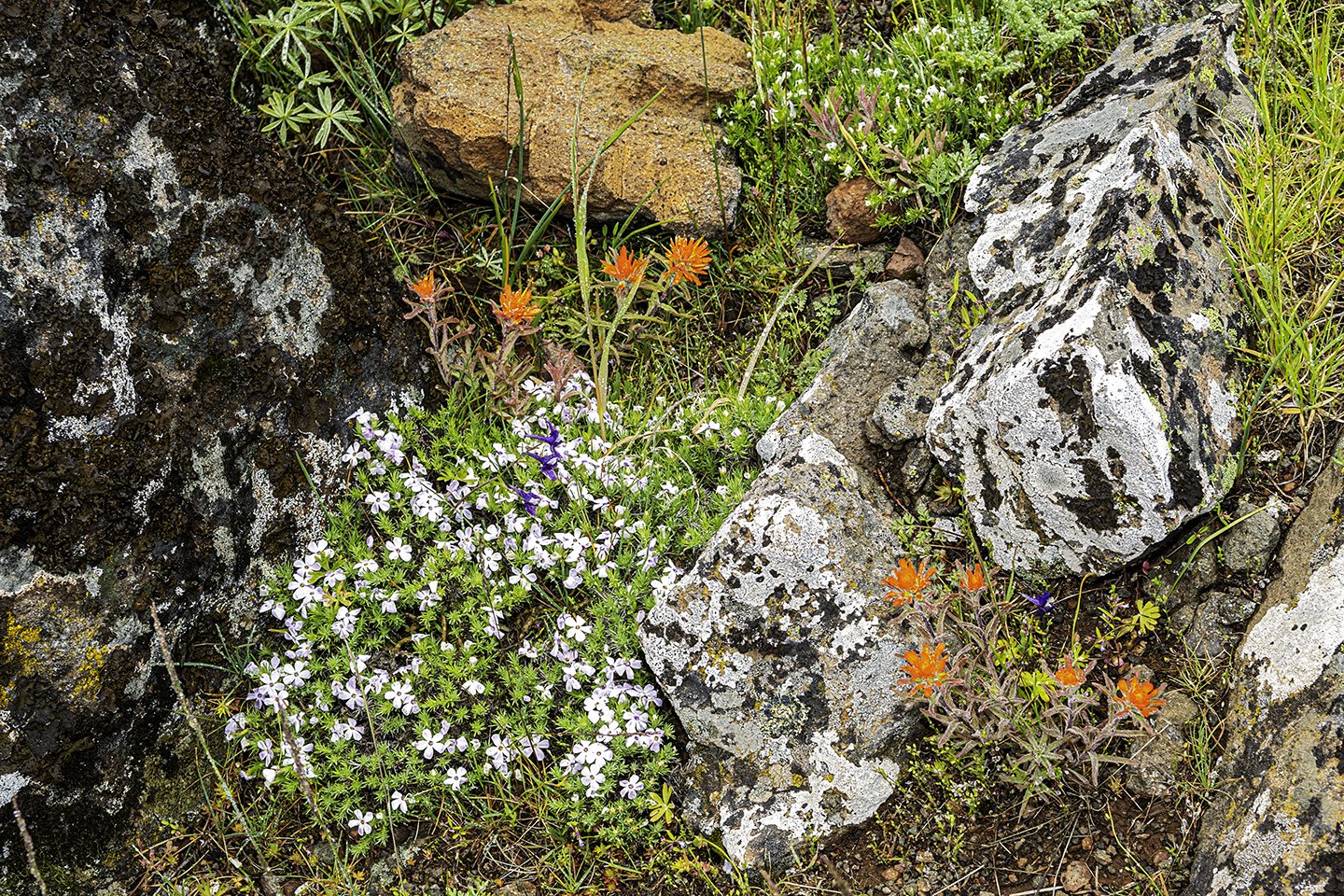
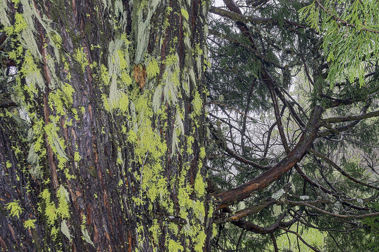
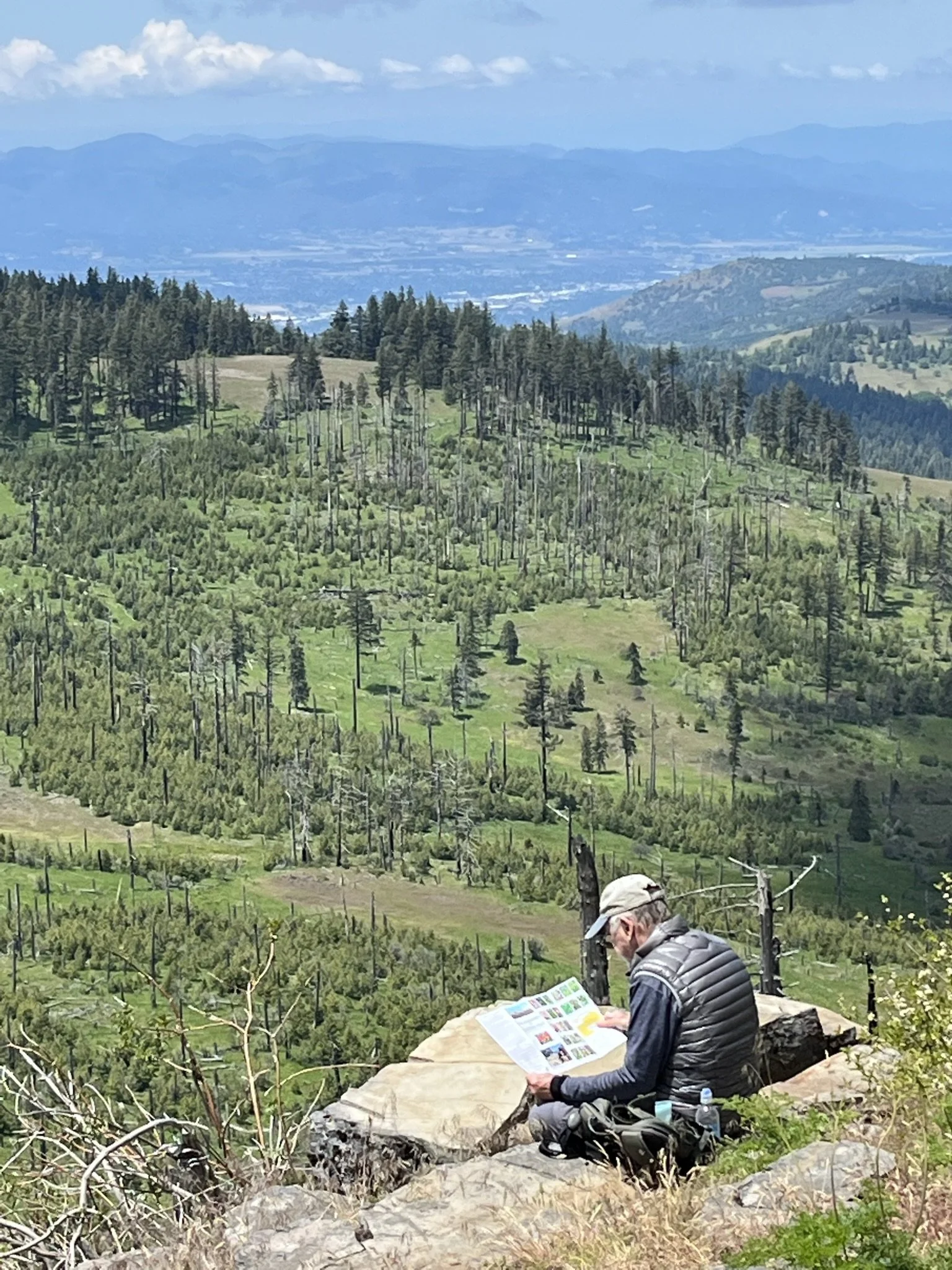
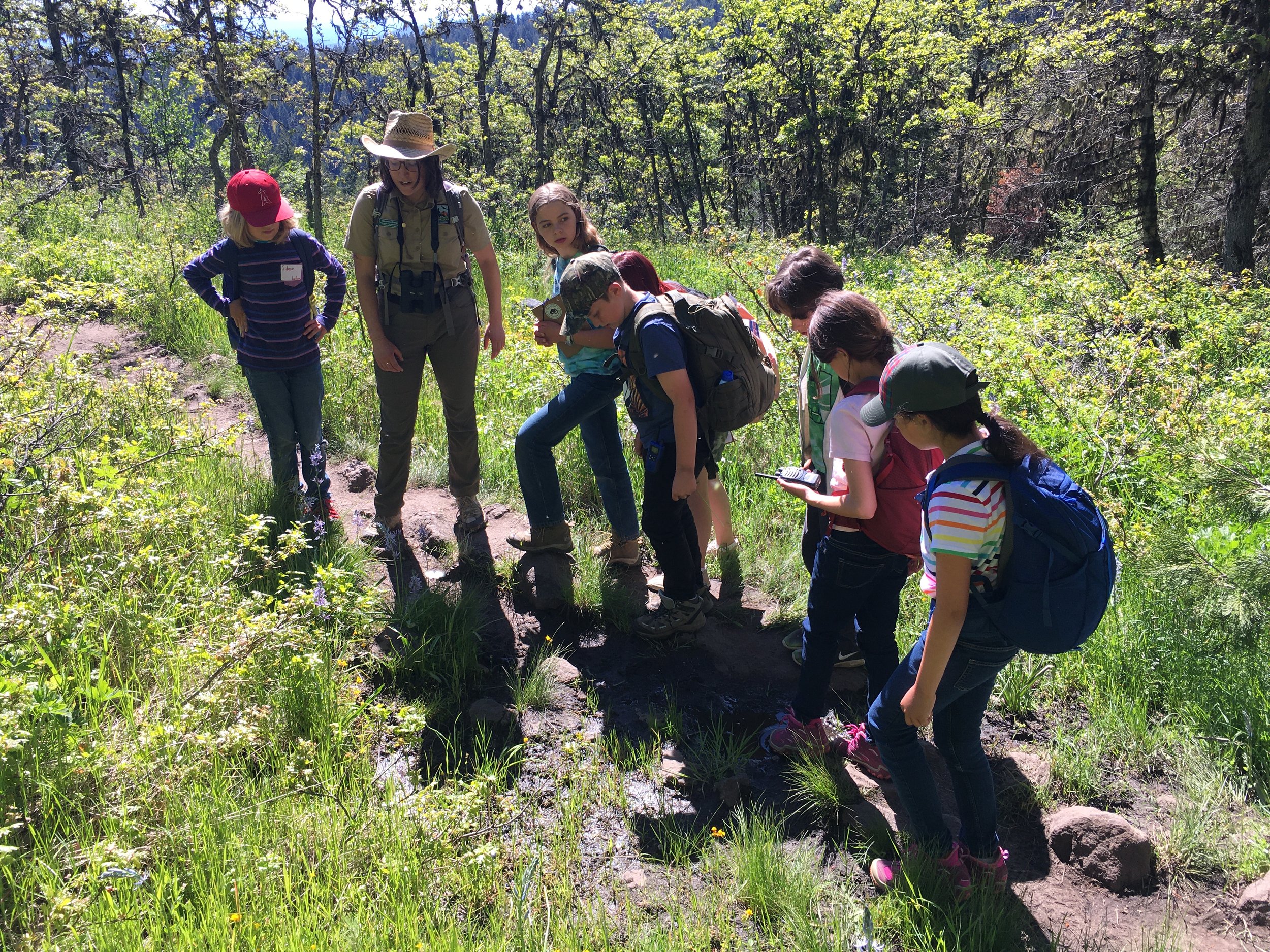
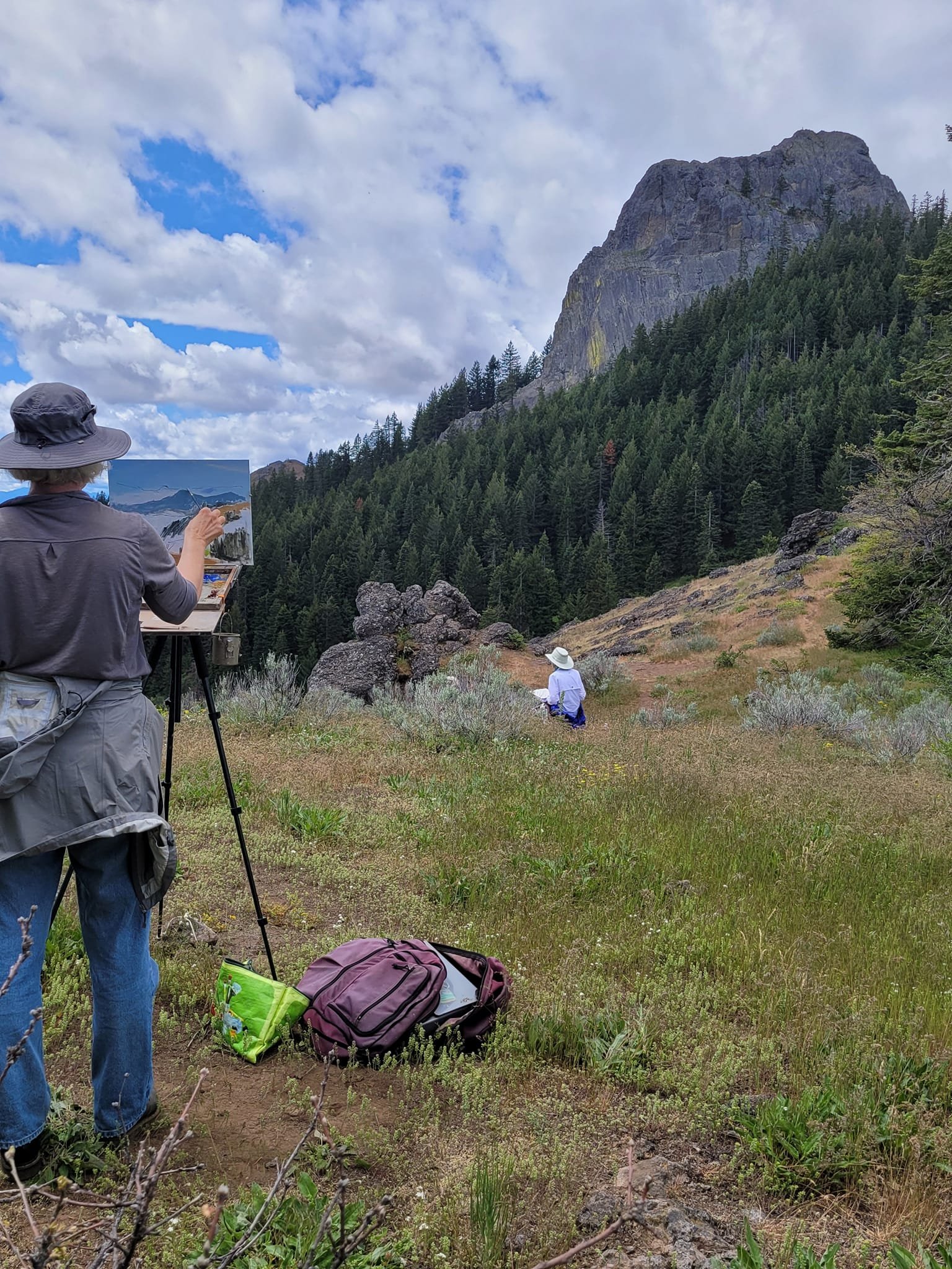
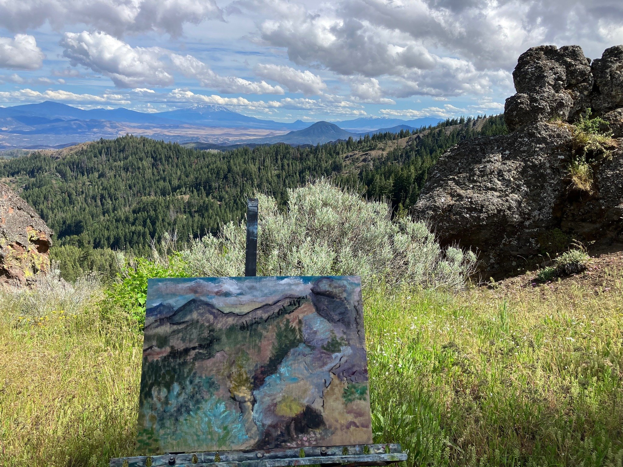
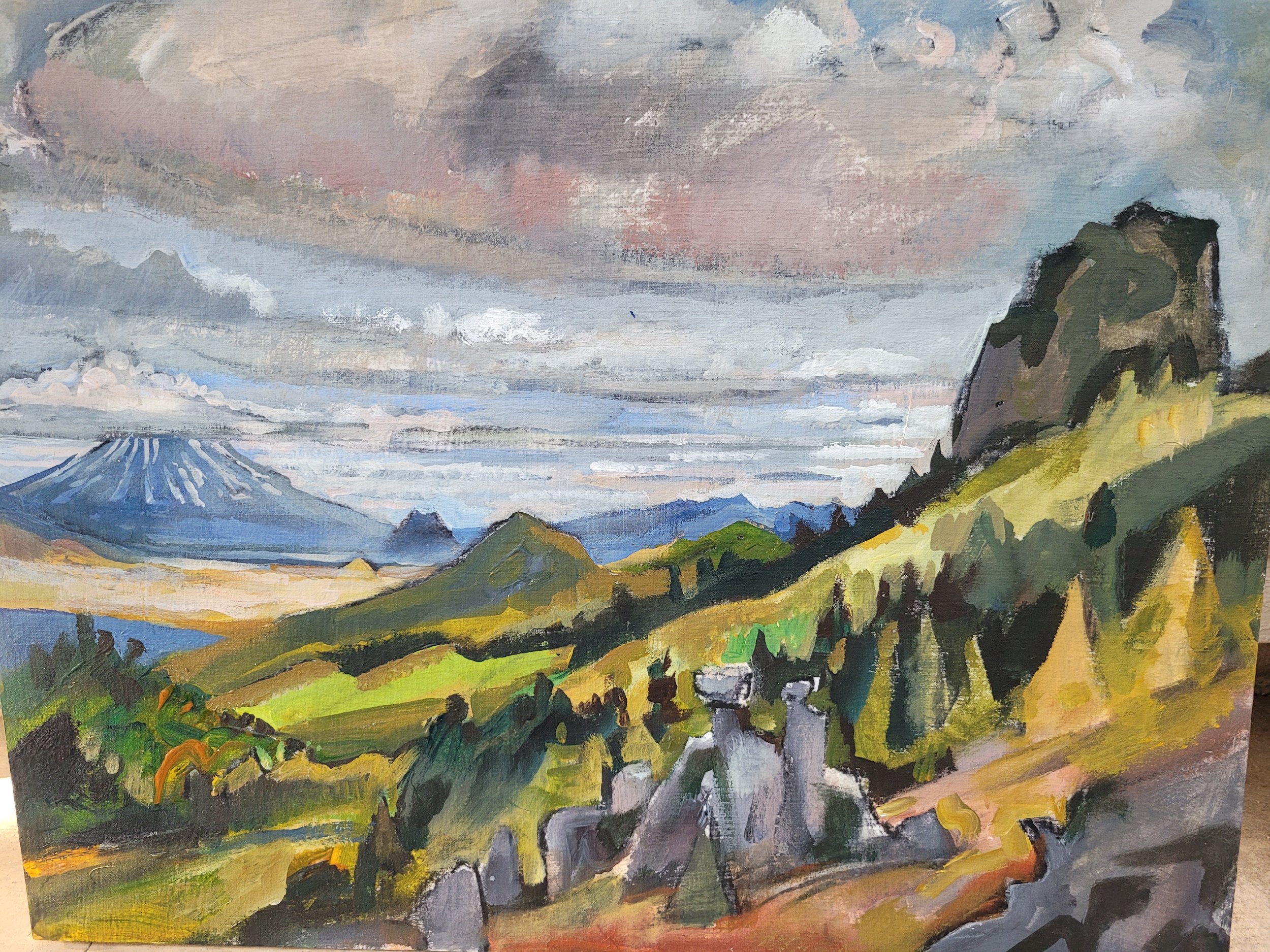
On Saturday morning, we started our hike at Buck Prairie II, a popular cross-country skiing destination in the Monument. We hiked along an old wagon road to the restoration site, admiring native grass species like Roemer’s fescue (Festuca roemeri), and savoring the delicious scents of the seeds of yampah (Perideridia spp.) and Lomatium. Elk enjoy roaming these meadows, evidenced by the tracks we noticed in the mud.

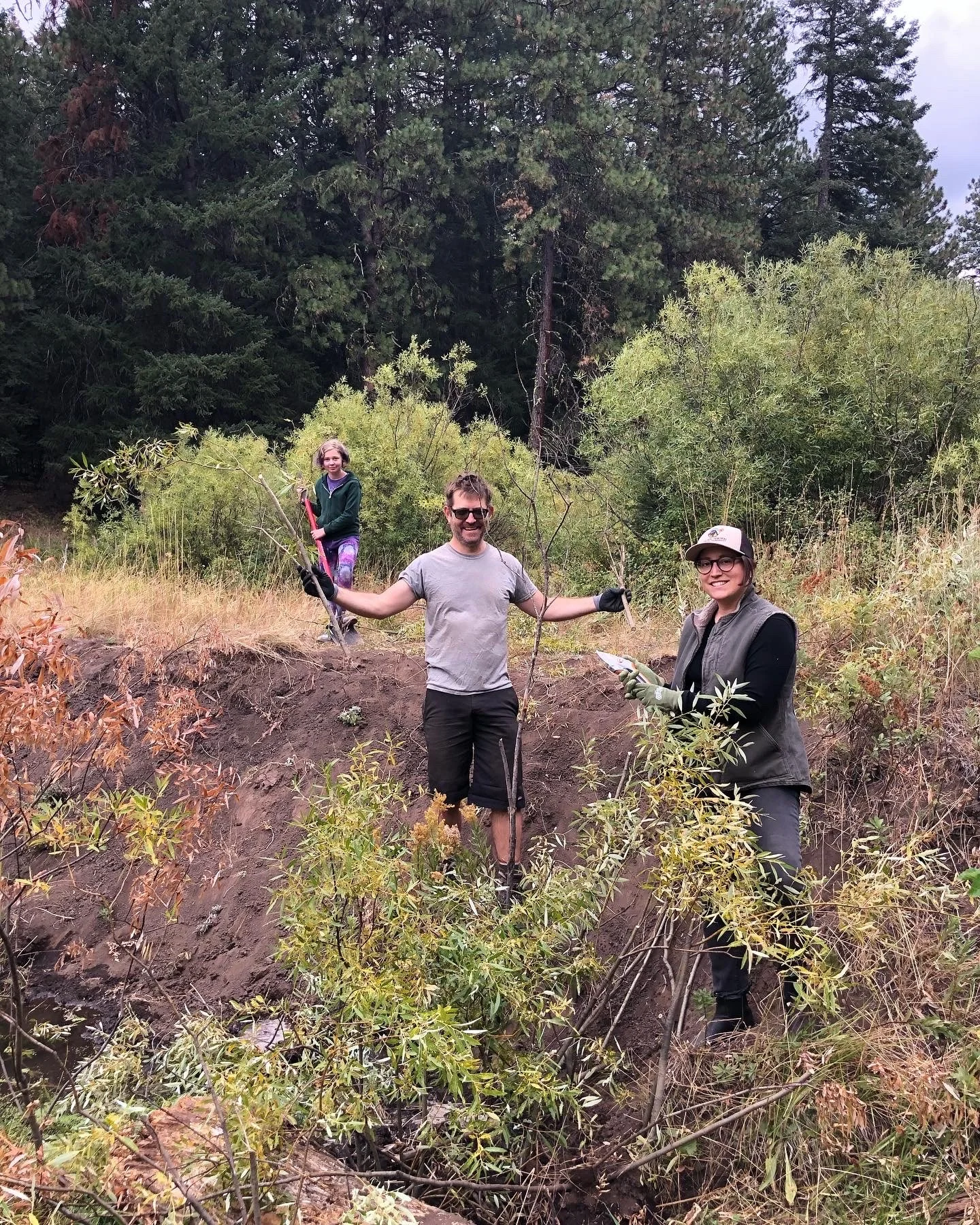
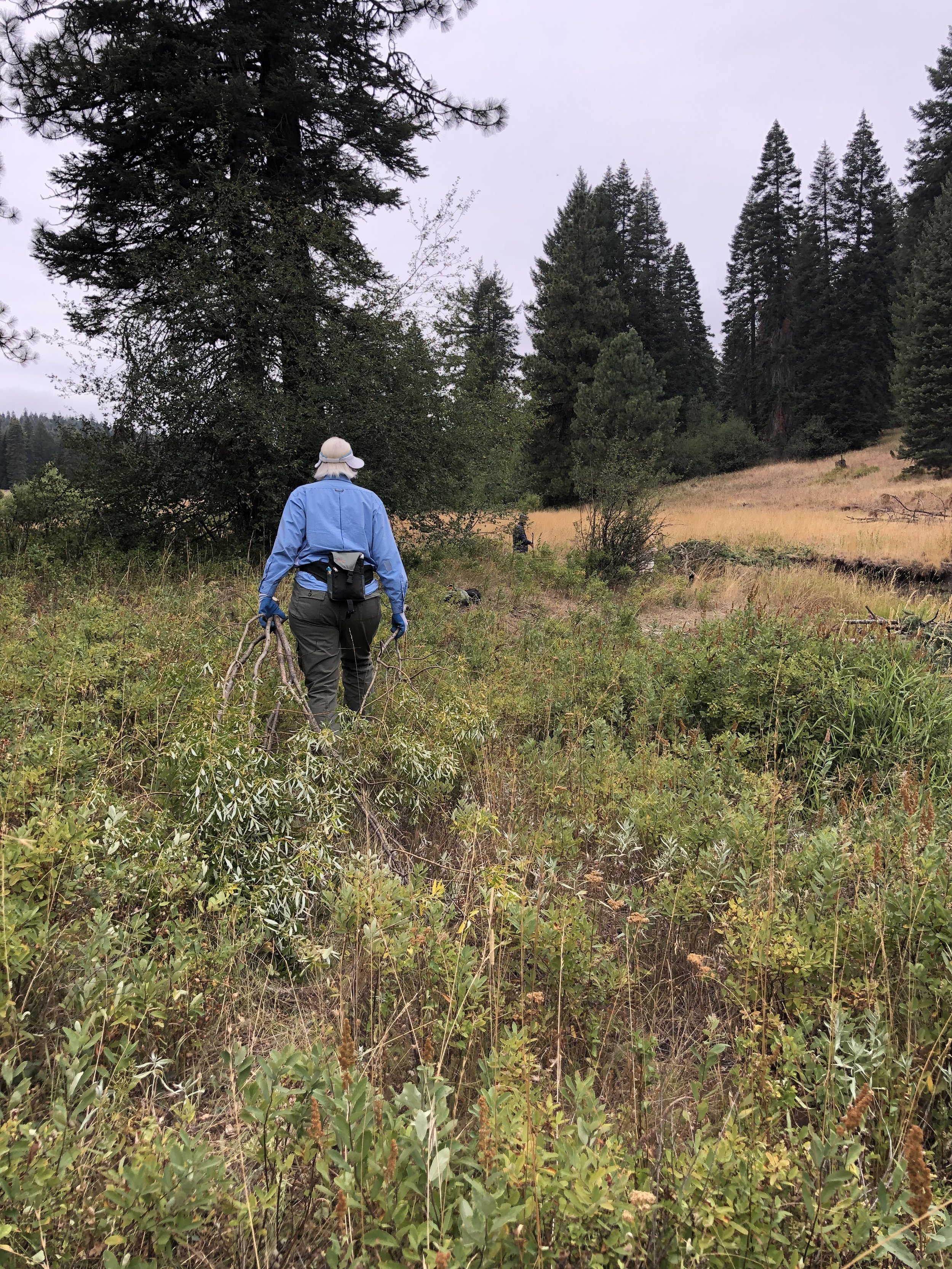
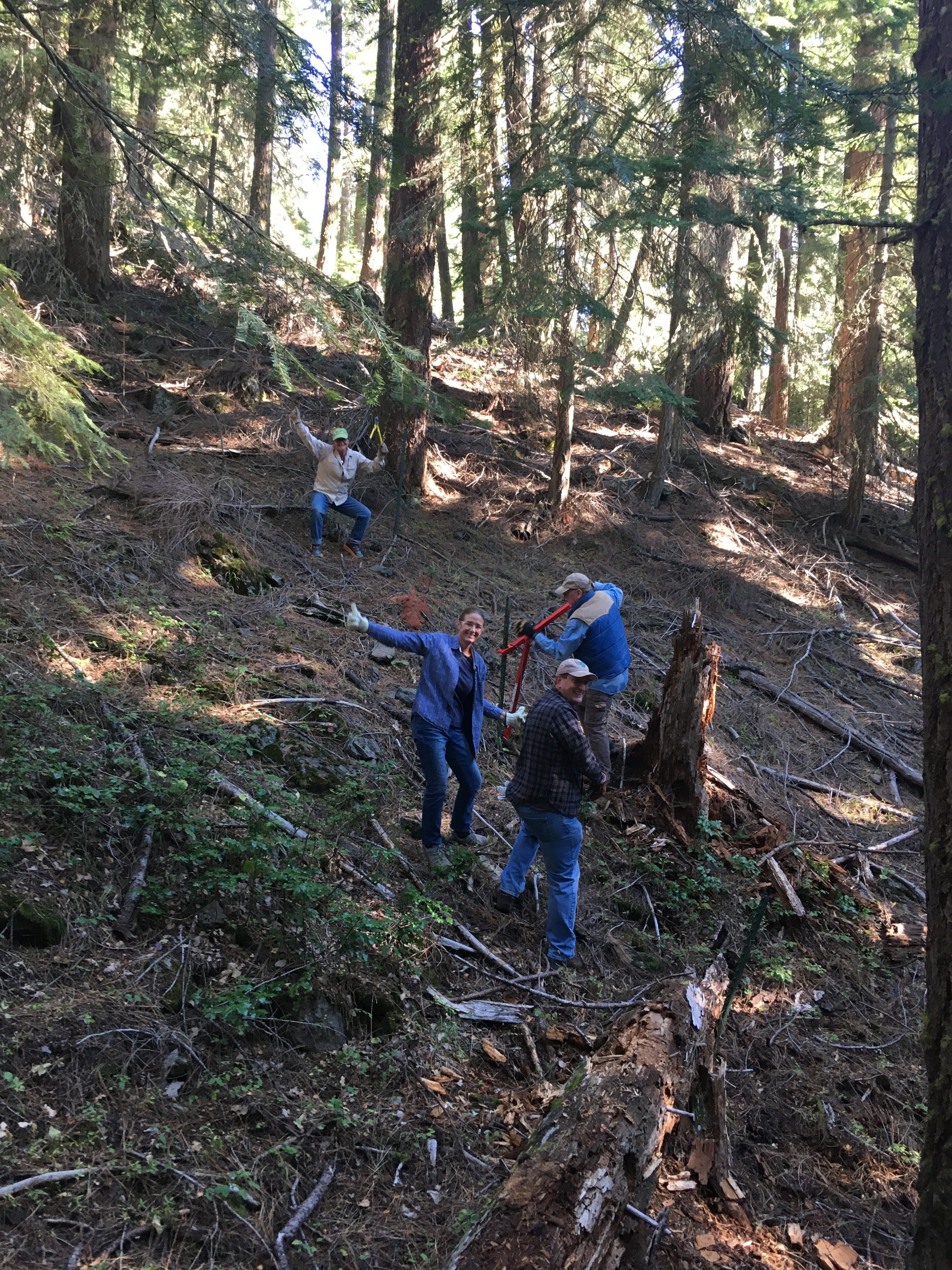
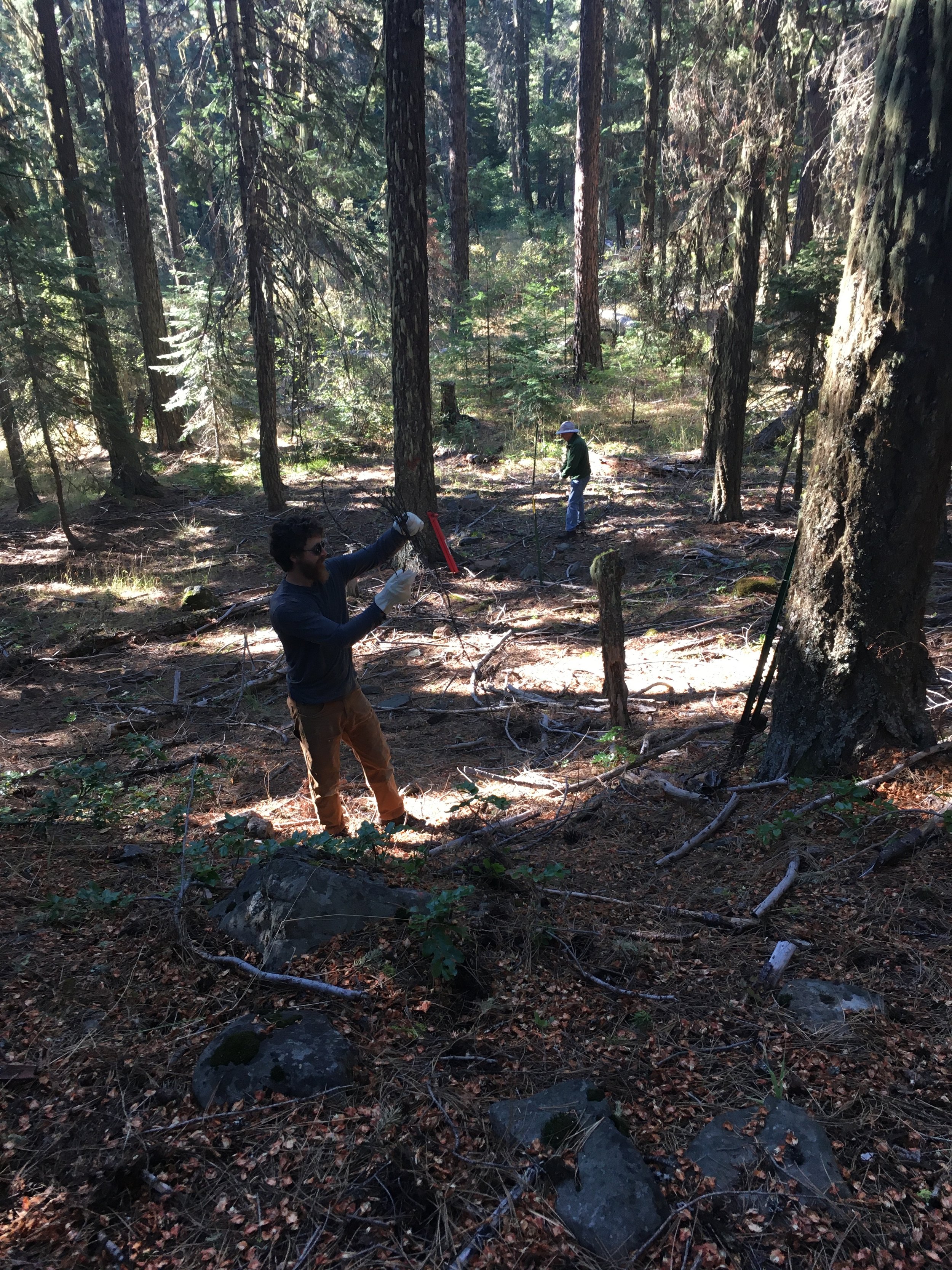
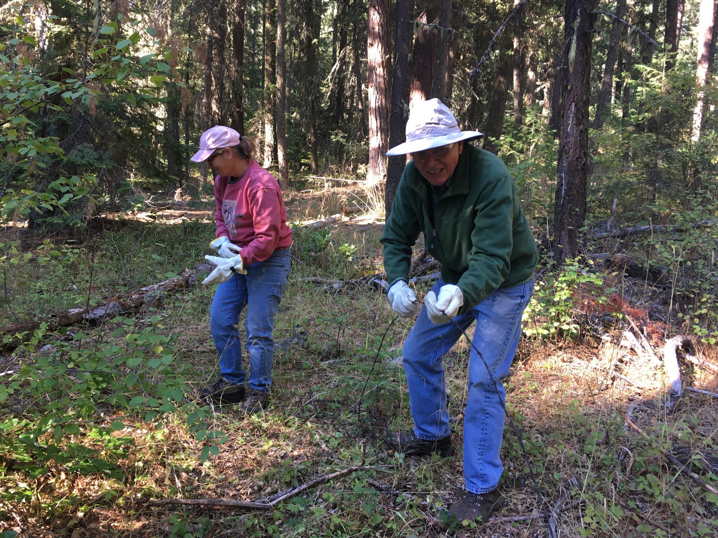
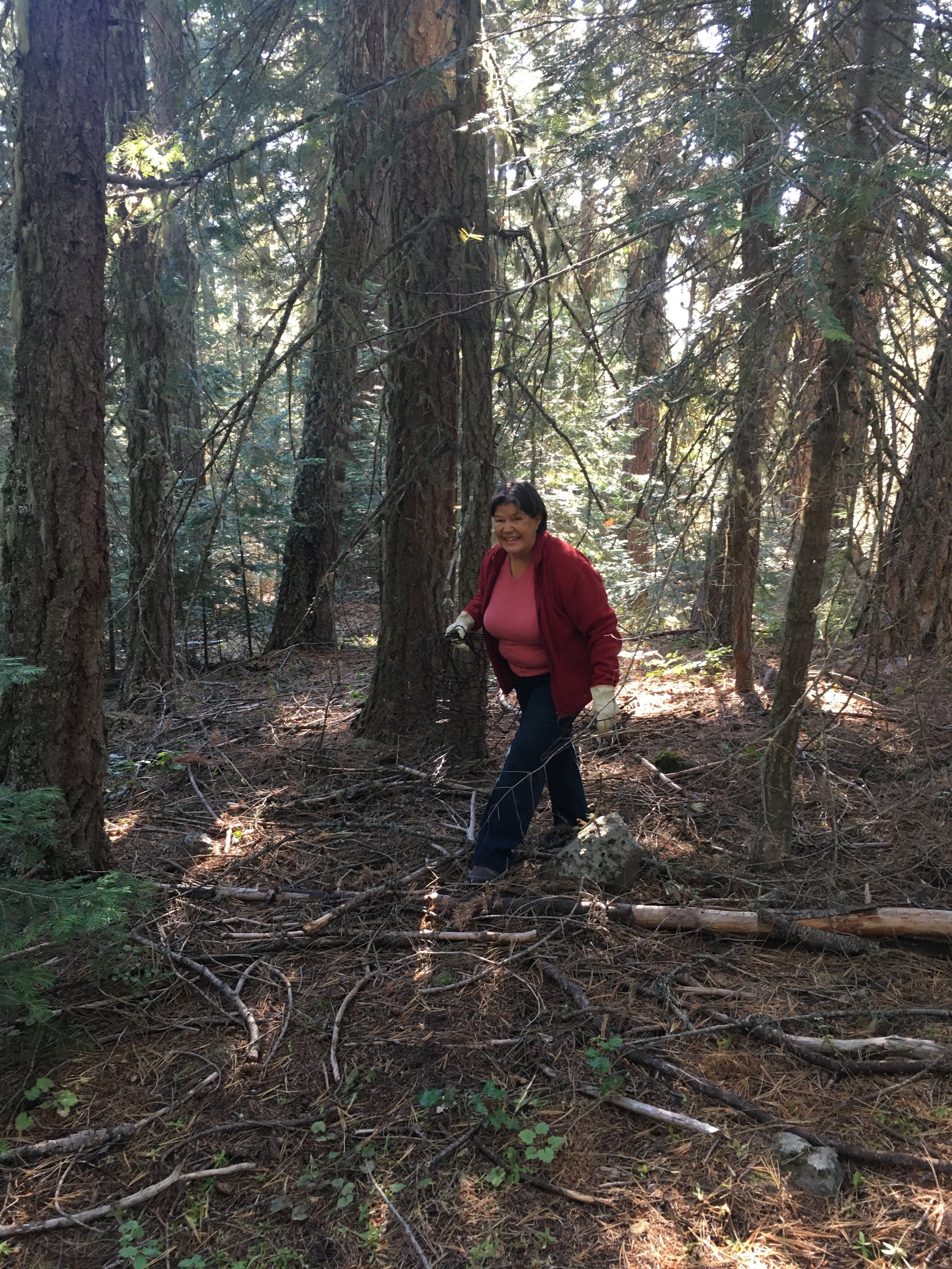
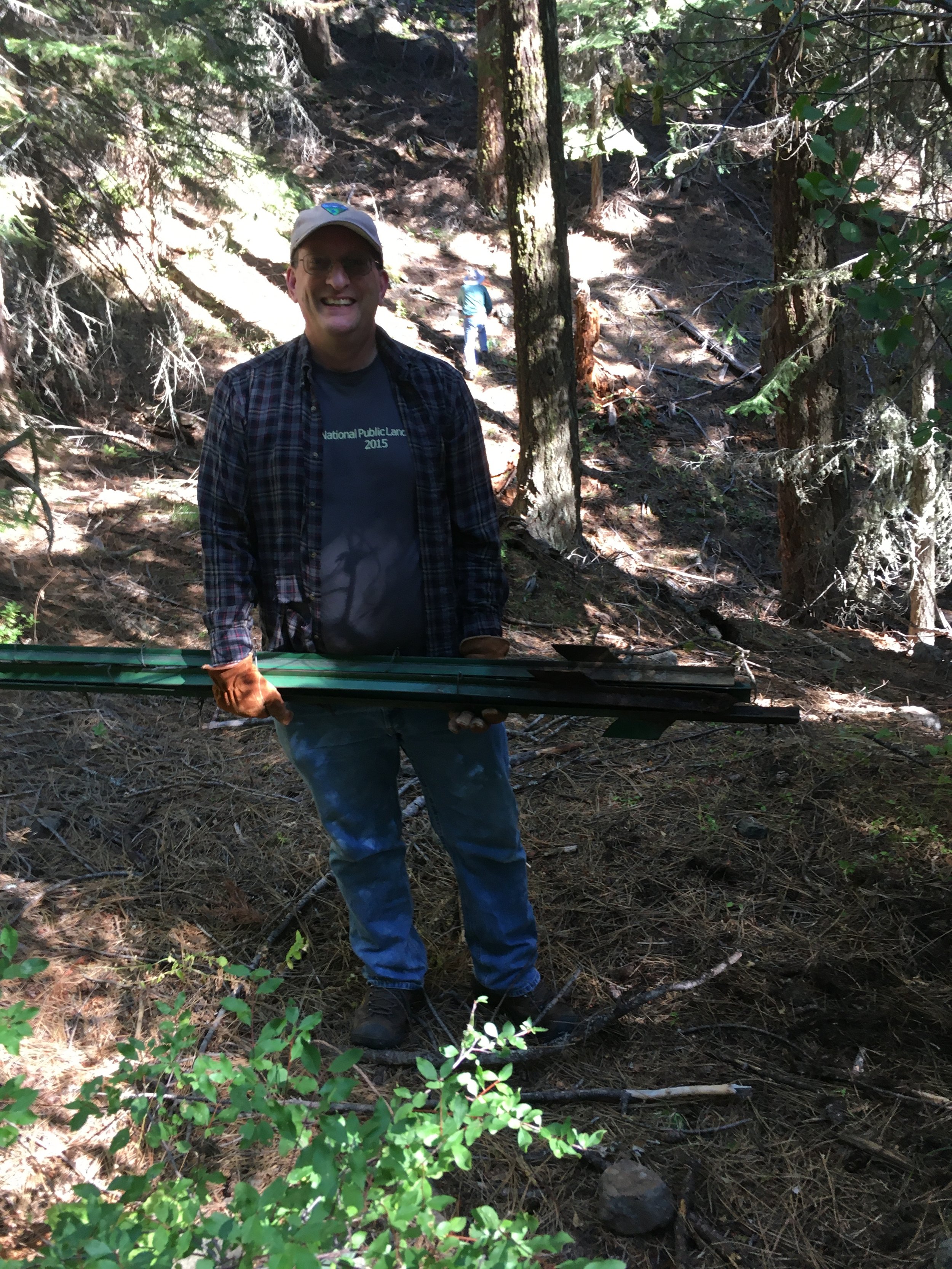
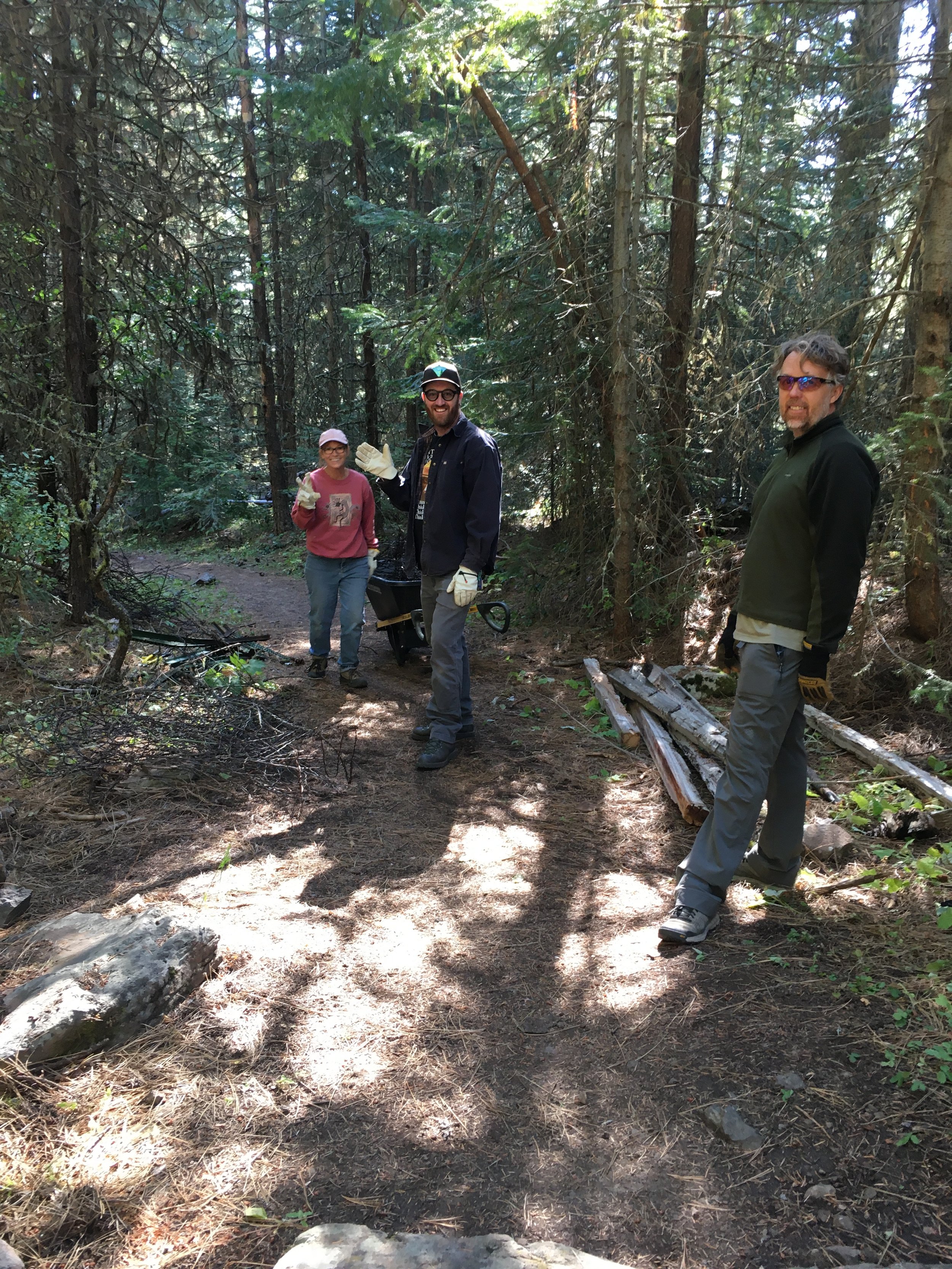
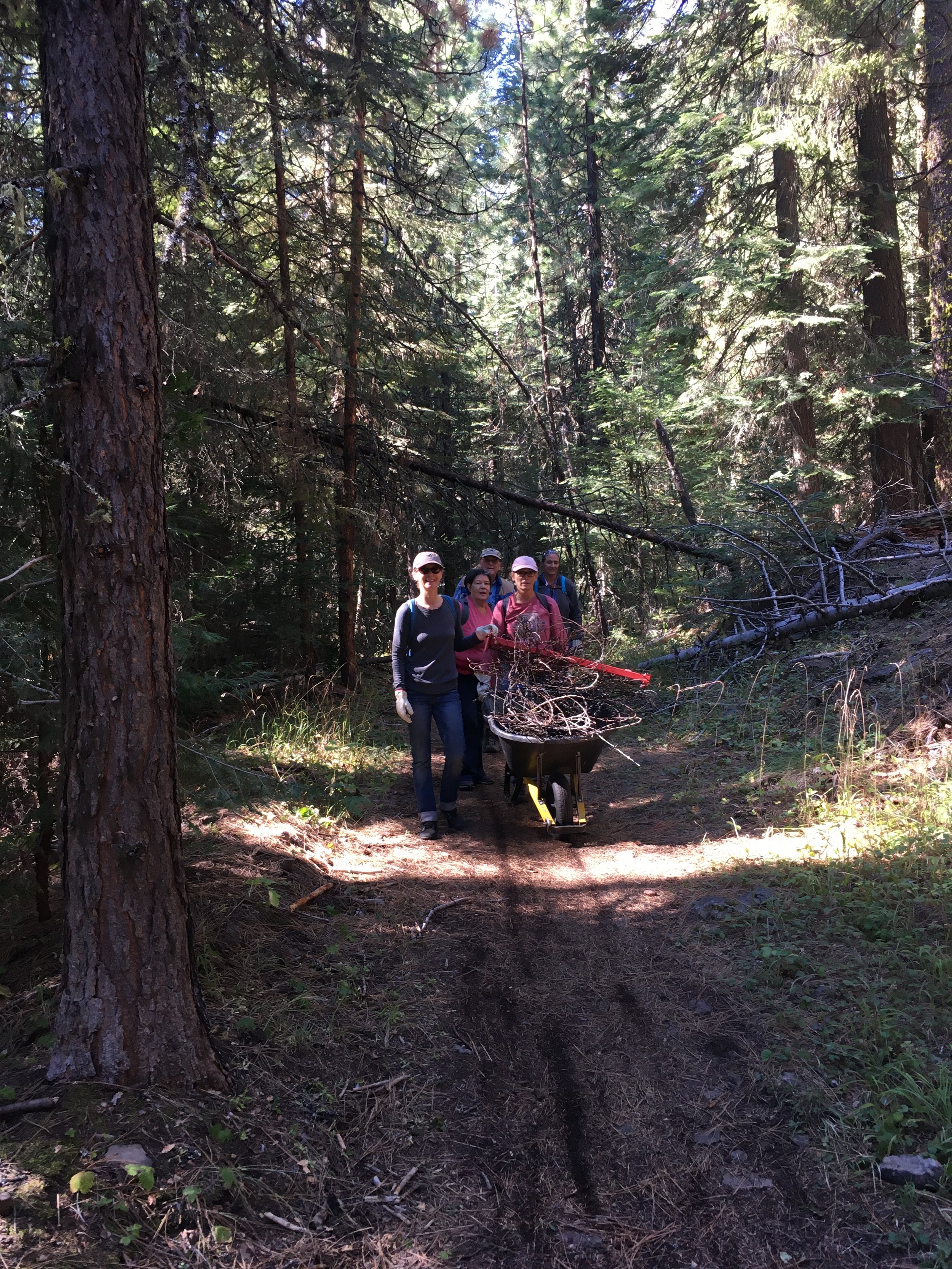
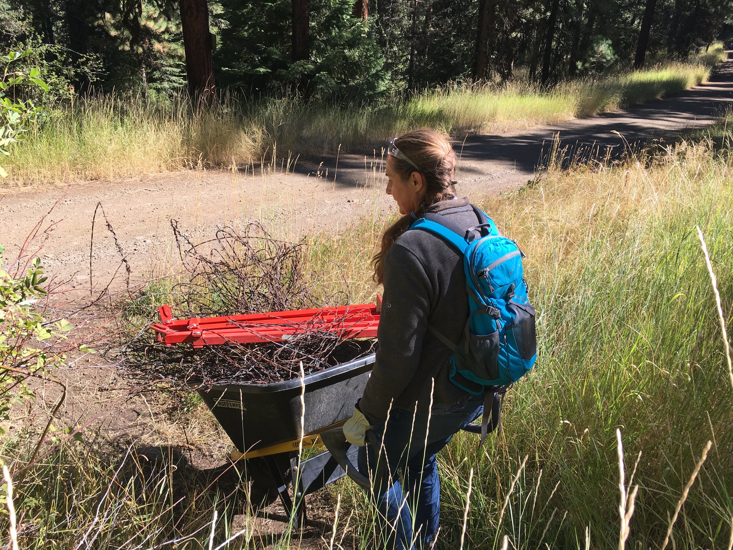
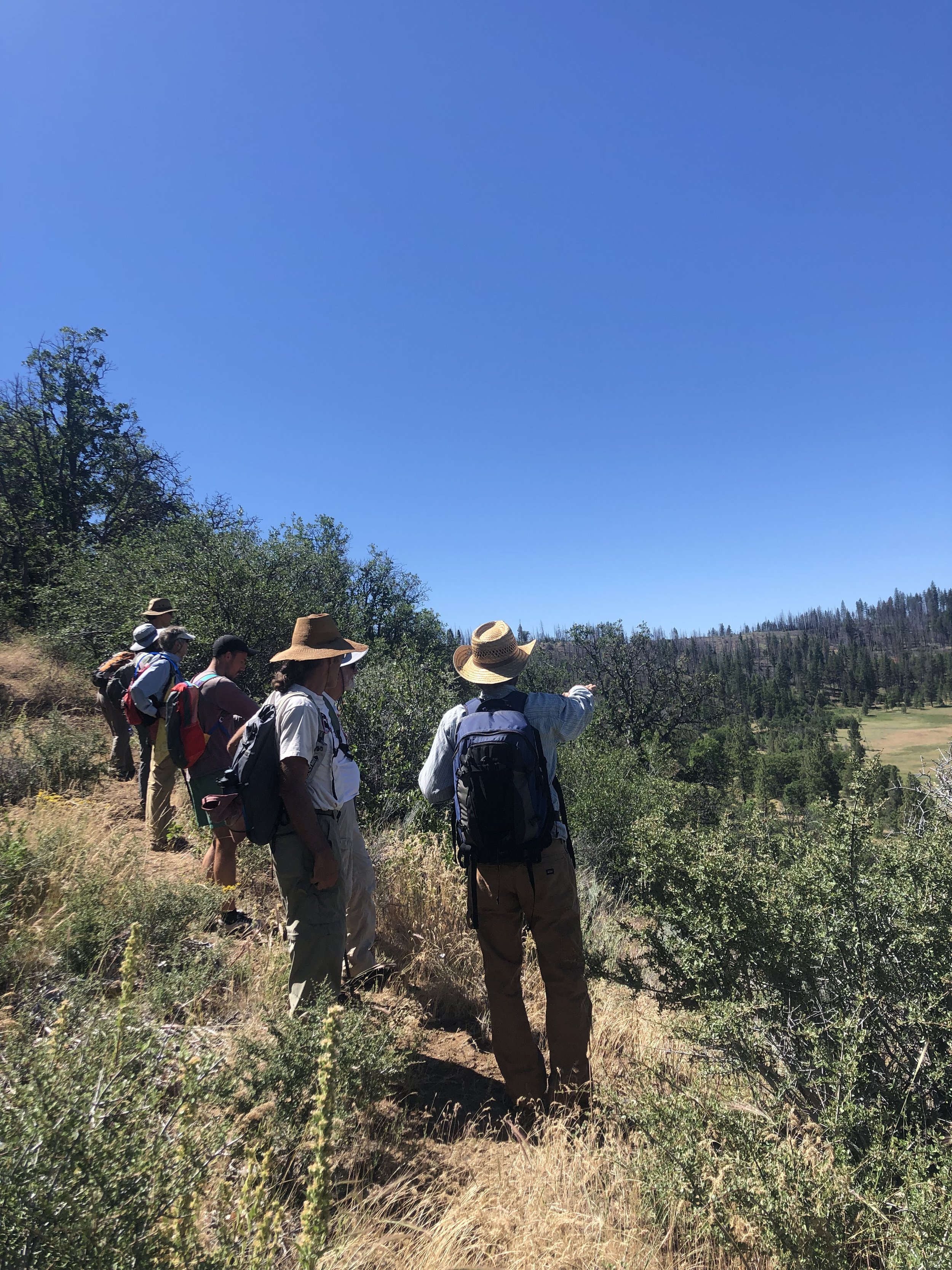
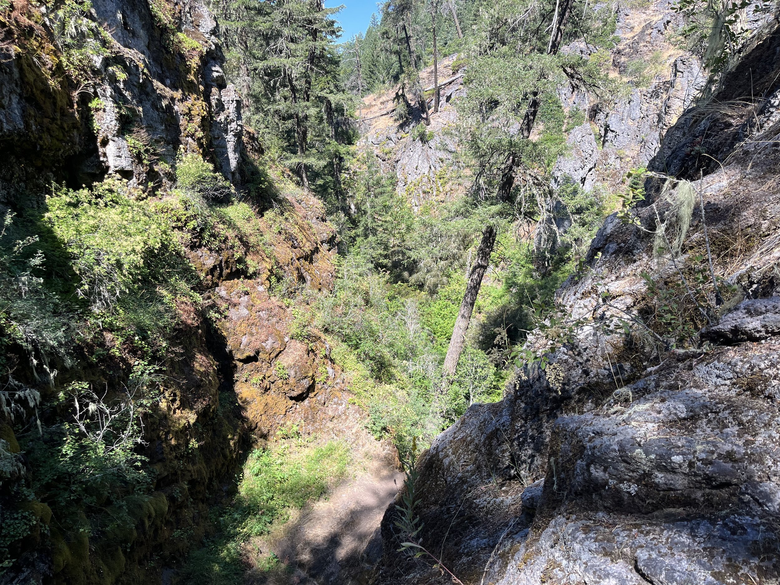
Once we arrived at Latgawa Creek, the work began: low-tech process-based restoration strategies. In other words, we behaved like beavers! Beavers impact natural stream flows and transform landscapes by gnawing down trees and building dams and lodges; they were a big part of this ecosystem before cattle arrived on the scene. We mimicked this natural process by cutting back shrubby willows (Salix spp.), planting the cuttings in the creek as if they were stakes, and weaving smaller branches to create a blockage in the creek. This will aid in sediment deposition; in many places the creek’s bottom is down to bedrock, which is not ideal for aquatic creatures or plants trying to regenerate along the waterway. It will also aid in water retention in the meadow by slowing down the water and allowing it to spread and sink on the land. There is much more work to be done on the preserve as well as throughout the Monument, so please look out for ways you can plug in to help.

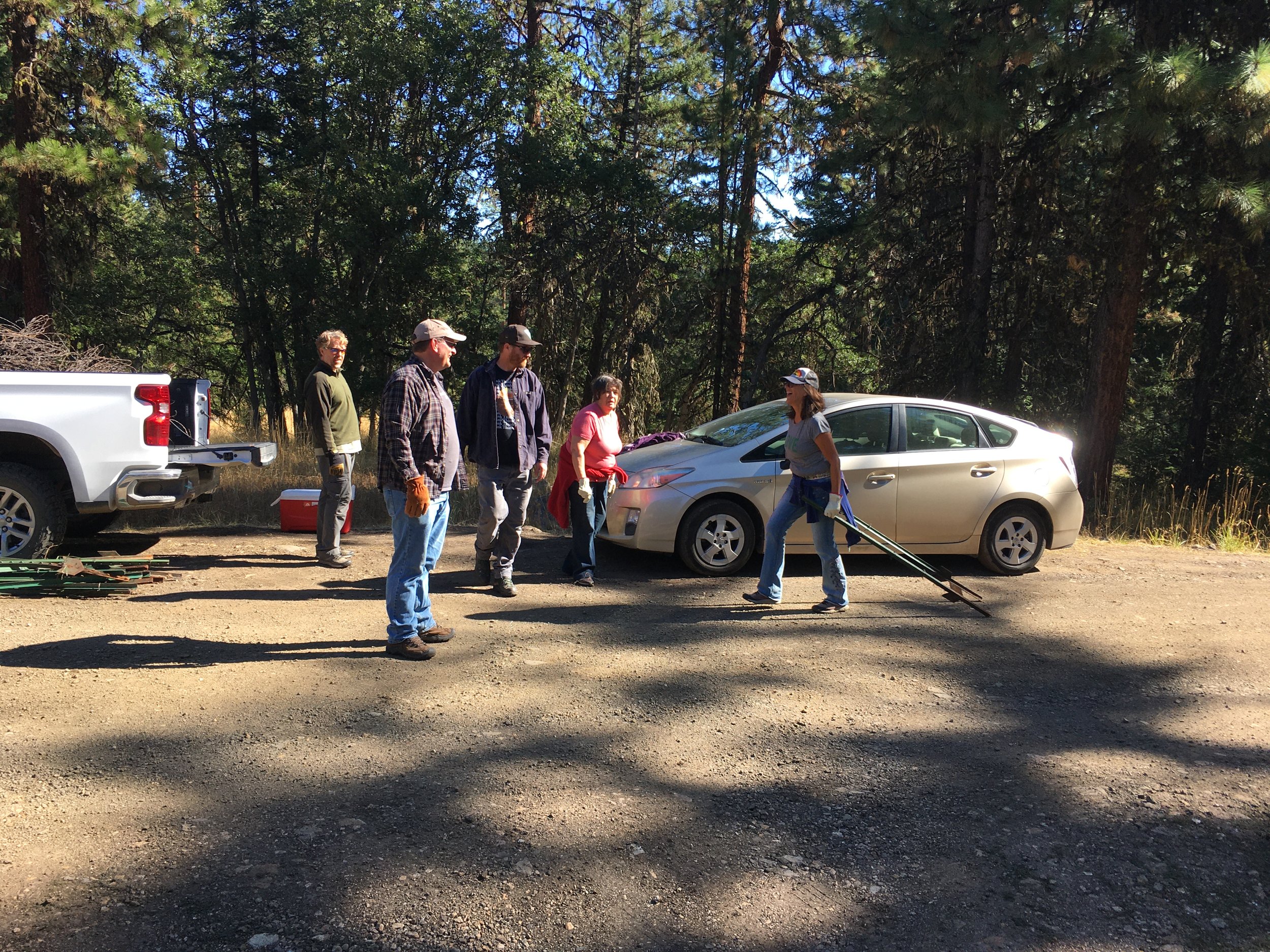
The Friends would like to thank Jeanine and Vesper Meadow for offering a fascinating learning experience and collaborating with our community on this project.

Improved Wildlife Corridor!

National Public Lands Day 2022

On Saturday, September 24, a group of hardy souls celebrated National Public Lands Day by removing about 1,000 feet of barbed wire fencing in the Cascade-Siskiyou National Monument.  After donning gloves and grabbing tools at the Green Springs Mountain Loop trailhead, we headed up the Pacific Crest Trail (PCT) about a half mile to where the fencing spread out from the trail in both directions.

We quickly divided into two teams – Team Extreme who charged fearlessly up a steep slope to remove fencing that ran east of the trail and Team Daniel who boldly took on the fence to the west of the trail. Each team cut the strands of barbed wire at the metal t-posts, folded them up accordion-style and placed them in a pile. The t-posts were removed from the ground with a tool designed for just that purpose and were also staged for later hauling to the parking lot.  

Each team worked with good cheer and determination, uplifted by the calls of red-breasted nuthatches, pileated woodpeckers, and chickadees, moving further into the forest to ultimately remove thousands of feet of barbed wire and dozens of t-posts. On a team of his own, Brian Long, the Recreation Planner for the BLM, was tasked with removing the wooden posts that were immediately adjacent to either side of the trail that had been used to support a gate that crossed the PCT adjoining the two sides of fencing.

After a couple of hours, prompted by John Duwe, BLM’s new Interpretive Specialist, we began the long haul of materials from the woods to the parking lot where the BLM truck awaited. When the last of the materials were tightly secured for transport to a scrap metal recycler, we had lunch while celebrating that our efforts that day will make life easier for the wildlife who call the Monument home.

Inspired by the energy and motivation shown by our volunteers, we are already thinking about our next Monument stewardship day!

 Words and photos by Executive Director Collette Streight.

Historic Buck Rock Tunnel

Sunday Hike #8 - Historic Buck Rock Tunnel, 8/28/2022

For the final Sunday Hike of the summer, we went back in time to the late 1800s, deep into the Monument to the site of the Buck Rock Tunnel, a railroad construction project that was never completed, left abandoned for decades, and, years later, rediscovered as an archaeological site with a fascinating story to tell.

Here’s the short version. By the mid-1800s, the Transcontinental Railroad had been completed for several years, but a north-south route in the western US was still in development. The final section of the route was the most challenging to construct, across the border of Oregon and California through what is now the Monument. Of course, the Monument is known for its biodiversity, a product of the complex “knot” of terrain where several mountain ranges and ecosystems converge. An engineer hired by one of the railroad companies, John Quincy Adams Hurlbut, surveyed several options before deciding that the Buck Rock Tunnel route was the best option, mostly due to the lower grade. Work started on the tunnel in 1883.

Most of the railroad workers were Chinese immigrants, earning more than what they would working for a farm, but less than their white counterparts on the job. Working for the railroad also came with much greater hazards: dynamite explosions, long hours of hard manual labor, and heat exhaustion, as well as treacherous terrain and an abundance of poison oak, which you can still witness on a hike to the site to this day. They worked day in and day out on both the east and west portals, tunneling on each side to eventually meet in the middle.

However, in 1884 the funds ran low. The tunnel was abandoned. The railroad company prioritized another shorter option over Siskiyou Pass, where I-5 currently runs. That route still exists today, but it’s not often used. Though less miles of track were laid, the grade was much higher; this was fine for the short-term, but over the years the trains found difficulty with the elevation change and snow piling on the tracks. The Natron Cutoff was constructed over the next several years and completed in 1926, which took trains east of the Cascades through Klamath Falls at a much lower grade – where the Amtrak and other routes still run today.

The Buck Rock Tunnel was left unfinished and abandoned for decades until a BLM forester rediscovered the site in the 1970s. Since the tunnel was left mid-construction, it presents a unique look into the building methods employed back in the day. An archaeological investigation found evidence of day-to-day life, like ceramic pieces (some with Chinese calligraphy detail), traces of temporary dwellings, and scraps of food that had been preserved for years. In 2014, the BLM acquired this piece of land and designated it as a historical and cultural site within the Monument. One hopeful future for the Buck Rock area is an interpretive trail to the tunnel entrances, which are currently what we’d call “off the beaten path.”

I really enjoyed sharing this story with a group of 20 hikers, including Friends board member Howard Hunter, who offered a lot of guidance and support in establishing the Sunday Hiking Series for the 2022 season. I would like to give credit to Chelsea Rose, SOU anthropologist and historical archaeologist, who has published numerous papers and articles about her research at the Buck Rock Tunnel site, as well as the Oregon Historical Society and the Chinese Diaspora Project, all of which informed my research on this interesting subject.

Thanks for a great summer, and happy trails!

Words by Interpretive Ranger Sarah Martinez. Photos by Sarah Martinez and Board Member Howard Hunter.

Nature Day Camp - A Success!

September 7, 2022

As the long summer days slowly wane, the Friends of the Cascade-Siskiyou National Monument summer K-12 educational program has also come to a close. We are thrilled by the success of our very first season of Nature Day Camps in partnership with The Crest at Willow-Witt and BLM’s Medford District. Between June-August 2022, we offered nine full-day environmental education programs at two different sites within the Cascade-Siskiyou National Monument. In total, our Interpretive Rangers served over 200 local Kindergarten - 6th grade camper Monument Days! Participating students traveled from all over the Rogue Valley to join us at the Greensprings Mountain Loop and Hobart Bluff trails, including places as far as Eagle Point and Northern California.

Friends Executive staff, Board Members, and Interpretive Rangers recently met with lead staff and educators from The Crest to celebrate our educational accomplishments for the year and to discuss potential improvements to our “Monument Days” for next year. We look forward to planning new program sites, new lesson themes and topics, and to increasing our capacity to connect with additional local communities in future.

Words by Interpretive Ranger Elizabeth Mackey.

Scenic Jenny Creek

June 24 & 25 Hike and Learn

A group of us had the pleasure of learning from Tim Montfort, a long time Hydrologist with the Bureau of Land Management. He presented on the acquisition and extensive restoration work of the former Box O' Ranch. Jenny Creek, a tributary of the Klamath flows through the site and is the main focus of the restoration work. Over years the ranch sustained damage from continuous cattle grazing which degraded the meadows and riparian habitat. Once the BLM acquired the property, restoration work quickly began recontouring the stream, removing ditches, and replanting riparian vegetation. The Soda Mountain Wilderness was designated in 2009 fully encompassing and further protecting the site. In 2019, Jenny Creek was designated as "Scenic" under The Wild and Scenic Rivers Act. These numerous protections help preserve this fragile and diverse ecosystem as refugia for The Jenny Creek Sucker and other important species.

After our Friday evening talk, we ventured out on a hot Saturday in June to visit the site. Tim took us on a tour of the many obvious historical elements present there, barns, farm equipment, and now remediated irrigation ditches. We visited the banks of Jenny Creek to observe lush patches of Willow, Oregon Ash, and Ponderosa Pine. As we walked along, we compared before and after photos turning back time to examine how restoration truly works. It was amazing to witness the vast effort put in to restore and improve this landscape. A lot has happened in the last 30 years to see what we saw that day, and there is still more work to do. While not the most accessible site, if you are fortunate enough to visit, you can take in the sweeping meadows, interesting history, and rejuvenating Jenny Creek. While you're there, close your eyes and imagine what another generation of conservation will have in store for this landscape.

Words and photos by FCSNM Board Chair Daniel Collay.

Porcupine Mountain

Sunday Hike #7 - Porcupine Mountain, 8/14/2022

On our longest hike yet, we made it to the top of Porcupine Mountain, a lesser known peak tucked between Pilot Rock and Soda Mountain just outside of the Soda Mountain Wilderness Area. We started our journey at the Pilot Rock Trailhead, taking the spur trail to link up with the PCT and heading “north-bound” on the trail. After about 3 miles one way on the PCT, passing by the signed Porcupine Gap, we veered off trail, marked by a characteristic old juniper snag. Like Rhyolite Ridge (which we hiked a few weeks back) this hike requires a bit of off-trail navigation, this time along an old, decommissioned road to the plateaued summit.

The ascent to Porcupine Mountain isn’t too treacherous, but for some fallen logs, rocks, and brush piles used to make the road impassable to OHVs, which is important for the protection of the sensitive vegetation and lichens that populate this area. However, it’s much steeper than any sections of the PCT. Treading carefully, we hiked up to the summit, catching views to the south of Mt. Shasta and the Iron Gate Reservoir along the way. Once at the top, there are several viewpoints to take in. Continuing along the ridge-like summit, we were able to get 360 views towards Pilot Rock (our constant companion on this trail), Mt. McLoughlin, Soda Mountain, and all the spaces in between. We enjoyed our lunch with a view, and retraced our steps back to the PCT to get back to the trailhead, totaling about 8.5 miles!

With August comes some signs of the approaching fall. Red Baneberry (Actaea rubra) with its bright red berries was plentiful in shady sections of the PCT. We enjoyed some thimbleberries (Rubus parviflorus) and noticed yellowed Western wild-cucumber (Marah oreganus) waning away. There were some marvelous old-growth Douglas-fir trees, as well as a few Incense cedars and Ponderosa pines of enormous size. The Friends’ Executive Director, Collette Streight, was able to join us on this trek and encouraged us to take a closer look at the bark of some of the older trees where we spotted ever-so-tiny pin lichens growing! Too small to take a photo, but worth investigating on your next hike in an old-growth stand.

Check out this hike next time you’re eager for a grand adventure in the Monument! It should be noted that a more robust vehicle could make it to the end of Pilot Rock Road, to the Porcupine Gap trailhead, which would shorten this hike to about 3.5 miles round trip. As always, be sure to consult a map, bring lots of water, and tread carefully in our beautiful public lands.

Words and photos by Interpretive Ranger Sarah Martinez

Lost Falls

Sunday Hike #6 - Lost Falls, 8/7/2022 

Lost Falls is known as an easy hike in a location that’s hard to get to. The drive involves taking the windy Shale City Road, past the well-marked turn for the trailhead to Grizzly Peak, beyond the turn for Willow-Witt Ranch, into the woods and down a few barely-marked roads until you come to a little clearing with enough space for a few cars to park. Unlike some of the other roads in the Monument, this is one that any car can handle, as long as you know the right direction. With a little internet research, you’ll find several blogs that describe the way to get to this trailhead. Whatever you do, don’t rely on Google Maps!

Once we parked, we could breathe in the fresh, watery air and take a sigh of relief. What’s ahead is a gentle trail that follows along Lost Creek through pines, firs, and fun riparian plants and shrubs that make great habitat for birds. Our hiking group was small but mighty, with an avid birder among us who was able to identify a few small Dusky flycatchers in a clearing. That’s one of the best things about Sunday Hikes with the Friends – there’s bound to be an expert or two in the group who loves this land and the creatures that inhabit it.

As we walked along the trail, we found a few wildflowers hanging on into late summer, most notably the Harvest brodiaea (Brodiaea elegans). At this point in the year, the falls are more like a trickle, but the view of the canyon, Bybee Gulch, is always stunning. The pools at the top and bottom of the falls are still full, with a wall of bright green moss connecting the two. Seeing the tops of various conifers and tracing their trunks all the way down to the bottom of the canyon was a highlight. Getting to the bottom of the creek would be quite hazardous, but there is the opportunity to continue ascending through the pines and over some rocks to a view of a lake.

I recommend checking out this hike in late spring, once the snow has melted from Shale City Road. Bring shoes you don’t mind getting wet, and spend some time thanking this small creek for being a source of cooling hydration for the plants and animals in this quiet corner of the Monument!

Words and photos by Interpretive Ranger Sarah Martinez.

Pacific Crest Trail - History & Management

August 5th/6th Hike and Learn

About 30 miles of the Pacific Crest Trail run through Cascade-Siskiyou National Monument. Though this is a small fraction of the total 2,650 miles of the PCT, there is much to enjoy within the Monument and plenty of opportunities for day hikes and backpacking trips alike.

On Friday evening, a group of inquisitive PCT-enthusiasts came together to hear a talk by Ian Nelson, the Northern California/Southern Oregon Regional Representative for the Pacific Crest Trail Association (PCTA). The PCTA is a non-profit organization devoted to the preservation, protection, and promotion of the PCT, one of 11 National Scenic Trails in the United States. The region Ian stewards spans Burney Falls State Park in Northern California up to Windigo Pass in the Umpqua National Forest. He had tons of facts and statistics to share and was able to answer all our questions about trail maintenance, laws, and history, as well as more pertinent questions about the recent fires (McKinney, Windigo) that led to temporary trail closures.

On the following Saturday morning, the group joined Ian to hike about four miles of the PCT leaving from the Hobart Bluff trailhead, heading south. The landscape alternated between lush conifer forests and open meadows with sweeping views – Ian made sure to bring us to one of his favorite sections of trail within the Monument. We got to see some of the work volunteer crews did under his leadership to decrease erosion and level the tread. This hike was a great reminder that the work of protecting and maintaining trails is often an unseen effort, but there are many people working every day to keep trails accessible through advocacy, education, and boots on the ground, hands in the dirt hard work!

The Friends of CSNM thank Ian for taking the time to share his knowledge of a trail that is a key part of the Monument’s story. We appreciate the PCTA for their work; please check out their website for more information: https://www.pcta.org/.

Words and photos by Interpretive Ranger Sarah Martinez.

Rhyolite Ridge

Sunday Hike #5 - Rhyolite Ridge, 7/24/2022

I’ve found my new favorite hike in the Monument! So, it felt really cool to be able to lead people to an awesome place that none had ever been before. The group was small, due to the heat wave I’d reckon, but it was awesome to see four familiar faces: folks who had come on hikes in previous weeks with me!

Rhyolite Ridge is the colloquial name for a ridge west of Pilot Rock in the Soda Mountain Wilderness. The route involves starting on the PCT, which feels like a well-traveled highway compared to what comes next: an off-trail jaunt up and over the ridge. At a certain point, you veer off the PCT and follow a decently worn social trail to climb the edge of the ridge. Views abound! As you ascend, Mount Ashland and the endless conifer-covered mountains of the Klamath National Forest to the west. Climbing the ridge brings you to the saddle, not too bad of a climb, especially when you are rewarded with seeing Mount Shasta in all her glory to the south. A glance east and you see the hexagonal columnar basalt that comprises Pilot Rock. It’s always cool to me to find a new perspective on something you see almost every day – if you’re driving towards the Monument, Pilot Rock is a noticeable feature on the mountainous horizon.

We finish off the hike by descending a scree field, still in bloom with hardy flowers that love sun and rocky soils, meeting with the Lone Pilot Trail to round back to the PCT. This makes a nice little lollipop loop, retracing our steps back to the high-clearance vehicle we took to navigate the bumpy Pilot Rock Road.

To prepare for this hike, I took a good look at my Siskiyou Mountain Club map, which features the CSNM, Soda Mountain Wilderness, and Ashland Watershed Trails. I also use Avenza Maps, an app that has GPS tracking capabilities, even without cell service. If you have the right map, you can find your location on it, which provides extra security when navigating off-trail. You can even mark points on the map, so if you see a plant you’d like to visit again, or if you need to remember an important junction, you can easily do so. Luckily, the BLM has offered a ton of Oregon maps for free, including some that help in hiking the CSNM, like the Soda Mountain Wilderness map and the PCT south. I recommend doing some research before embarking on a journey like this one, and always be sure to Leave No Trace!

Photos and words by Interpretive Ranger Sarah Martinez.

Day Camp Students at Green Springs Mountain Loop

July 28, 2022

Our Interpretive Rangers have wrapped up Week 7 of our 2022 Nature Day Camps with 6-11 year-old students from The Crest at Willow-Witt! It’s been a jam-packed summer so far, full of hiking, games, and exploration in the Cascade-Siskiyou National Monument.  

Following the first few weeks of programming at Hobart Bluff, we moved Day Programs to the Green Springs Mountain Loop, an approximately three mile trail of moderate difficulty that pivots off of the Pacific Crest Trail. The Green Springs Mountain Loop trail is a wonderful place to bring children during the hot summer months as ample shade is provided by the surrounding forest. Multiple viewpoints along this trail offer new perspectives of nearby landmarks in the Monument, such as Pilot Rock.

Lesson subjects at this site have included butterflies & insects, coniferous trees, biodiversity, and trail building and maintenance. Students also love to discuss the concept of hiking the entire Pacific Crest Trail, as many thru-hikers can be seen passing by with large backpacks fully equipped with gear.

Local wildlife, such as red-tailed hawks, turkey vultures, western fence lizards, and the western gray squirrel provide additional teachable moments. More fun to come!

Words by Interpretive Ranger Elizabeth Mackey.

Iconic Hobart Bluff

Sunday Hike #4 - Hobart Bluff, 7/17/2022

Hobart Bluff is an iconic hike in the Monument. From the bluff’s high point at 5,502 ft, there are views in all directions: Pilot Rock, Mount Ashland, Emigrant Lake and the Rogue Valley below, Mount McLoughlin, and Mount Shasta all visible. We took a nice break up at the top, as one should on any hike, enjoying lunch with a view and a little geology talk. The Cascade Range is volcanic and very young, geologically speaking (the two conical volcanoes in view age about 5 million years old). The rocks we stood on at Hobart Bluff were around 25 million years old, an igneous intrusion of harder rock that is now exposed after years of weathering and erosion to the softer rock that used to encase the bluff.

To get to this amazing viewpoint, we took the PCT northbound, with thru-hikers passing us by on their hundredth or so day out on the trail as we slowly ambled along admiring butterflies soaring, birds singing, and some late-season blooms, including some rarities!

Looking up at one of the steep hillside meadows along the trail, we noticed the spectacular Washington lily (Lilium washingtonianum) standing at 6.5 feet tall with a big white blossom. I recalled seeing the leaves and stem of this plant on the Grizzly Peak hike about a month ago, so this off-trail flower merited a look through a pair of binoculars we passed around.

The botanical excitement continued as we walked through a more forested section of the PCT with big old conifers shading the trail. Two rare species of mycotrophic plants were in bloom: Phantom orchid (Cephalanthera austiniae) and Gnome plant (Hemitomes congestum)! These species do not make their own chlorophyl, lacking the green color typical of Kingdom Plantae. On the hike, we called them “saprophytic” plants. According to the U.S. Forest Service, this term misses the mark. These plants don’t get carbon nutrients from decaying organic matter (saprophytic), but are instead engaged in a symbiotic relationship with the soil fungi living in and around root systems of the trees and plants of the forest. See this awesome article for more info: https://www.fs.fed.us/wildflowers/beauty/mycotrophic/whatarethey.shtml.

Sometimes, as a ranger-naturalist-hiking guide, I am stumped by the questions folks ask. In this particular job, I am challenged. The biodiversity of the CSNM is real! There are new flowers every week that I have yet to be acquainted with. The place is so vast and the history is so varied. I am still very much getting to know the area, and it’s been humbling and exciting to do so alongside folks who are interested in learning more. Thank you, Sunday Hikers, for challenging me to learn more about the story of this land by way of your imaginative inquiries and creative curiosities.

Words and photos by Interpretive Ranger Sarah Martinez.

Green Springs Mountain Loop Hike

Sunday Hike #3 – Green Springs Mountain Loop, 7/3/2022

The Green Springs are a quintessential component of the Monument. Situated at around 4500 feet, the lush meadows and dense forests are an oasis above the drier interior valleys. The Green Springs Mountain Loop is a gem of a hike: 3 miles, gentle ups and downs, amazing views, and a glimpse of the many ecosystems within the Monument. This was the first hike I ever did in this area, when I arrived in Ashland a year ago to start the Environmental Education graduate program at SOU, so I was excited to share this trail with others.

A huge thunderstorm the night before and a chilly morning drizzle on a holiday weekend led to a smaller group this Sunday, July 3, 2022. The loop is situated on the PCT, but it’s pretty different from last week’s PCT trek because of the variety in ecosystems you can see. The five of us hiked the cool, foggy trail, the clouds parting occasionally with sunbeams breaking through. The views might not have been quite as sweeping as usual, but we still saw the depth of the valley and a slew of wildflowers still hanging on late into the season.

One reason I love this trail is that it showcases so many parts of the Monument. I pointed out the different conifers growing: Ponderosa pine, Incense cedar, Grand fir, White fir, and Douglas-fir. When we arrived at more open areas of the loop, White oaks in shrub and tree form populated the sunny hillsides. We saw a few Black oaks too and noted the difference between the leaves. Also on the sunnier side of the mountain were several Sage shrubs, a characteristics plant species from the Great Basin Desert and sagebrush habitats to the east. Spotted towhees and Lazuli buntings sang, especially in this one sunny patch with a lot of snags, perhaps the result of a big windfall a few years ago.

This is the kind of trail you can visit again and again, through the seasons, year after year. I look forward to doing so and encourage you to do so, too!

Words and photos by Interpretive Ranger Sarah Martinez.

Into the Old Growth Woods

Sunday Hike #2 – Wildlife of the Old Growth Stands, 6/26/2022

A lot can change in a week. Focusing on the weather changes: temperatures in the valley soared over 100˚F for the first time this year. Luckily for our June 26 Sunday Hike group, we were able to escape the heat and all the goings-on in town for a peaceful hike at higher elevation in the old growth forests of the northern portion of the Monument. Steve Godwin, BLM wildlife biologist, knows this area well after years of Spotted Owl research during his technician days. This was a great chance to learn about some of the species that need old growth forests to thrive, and how all the trees, plants, animals, and processes of the forest are deeply connected.

What makes a forest “old growth”? Steve tells us that the woods in our area are considered old growth if there have been no major unnatural changes (logging) for 80-100 years. We certainly walked past trees that have been alive for more than 100 years, but the stands we walked through were mostly second growth; the area had been logged in the past, like much of the forests of Oregon. Despite this disturbance, the forest has regenerated, and is now protected. Enormous Sugar Pines, Ponderosa Pines, and Douglas-firs towered above us, with Incense Cedar and White Fir filling in the gaps. Wind, especially during snowstorms, is now the main disturbance characterizing these woods. The presence of dead and downed limbs and trunks surrounding and even crossing the trail was astounding!

The massiveness of this coniferous forest and its tall trees contribute to its quietness, broken by the occasional call of a pileated woodpecker or the chirping of a Douglas squirrel. Steve used a Bluetooth speaker to call in a more elusive creature of the old growth: the Great Grey Owl. Though no one called back to answer our echoing hoots, this is their preferred habitat. A Great Grey Owl’s territory is about a square mile of tall, dense, old growth trees good for nesting and perching for hunting. Though there are plenty of creatures who prefer more open, edge habitats, there are some who cannot thrive without old growth woods. The Spotted Owl is another such species that many know as a mascot for anti-logging environmentalist efforts to protect old growth woods.

When walking in woods like these, something clicks for me about interconnectedness and resilience in a community. Steve points out a “living stump,” characterized by a cambium layer growing around and protecting dead heartwood. He mentions the roots of the trees of this forest, all intertwined, sending excess water and energy to the trees that need it most. Some trees, like White Firs, can tolerate shade and will pass their lives beneath the boughs of the overstory. Others, especially Pine species, need sunlight to survive well. A pine tree might stall as a seed or sapling for years until there is sufficient space and sunlight to shoot up and grow in the conditions it needs. It takes time to grow strong and rebound from clearcutting and other such massive changes to the landscape, to the community. The old growth forest is full of life, with stories and lessons to share.

Words and photos by Interpretive Ranger Sarah Martinez

Nature Photography

June 27, 2022

Tom Glassman, a well-known local photographer, led our inspiring Nature Photography Hike & Learn on June 17-18. At the Friday evening lecture, we quickly realized that Tom’s images are composed in-camera, with no post-processing involved. Other than initial color correction, compositions are achieved without cropping or most of the techniques normally associated with today’s digital darkroom, such as Photoshop. He emphasized that the best way to improve a photograph is to note what’s missing and take another photograph. 

During the Saturday hike portion of the class, a hardy group of folks met at the Hobart Bluff trailhead to put Tom’s teachings into practice. It was a foggy, cloudy, and cold day....just about perfect for some unusual flat-light photography. We hiked southward on the Pacific Crest Trail towards Pilot Rock about a half-mile to an outlook of the Bear Creek Valley, some 3,000 feet below us. The wildflowers were out and extraordinarily abundant, and the drops of water on the mosses, leaves, and flowers made the colors rich and saturated. 

With a delightful blend of humor and expertise, Tom emphasized and demonstrated what it takes to compose a great photo, how to use layering to make it interesting, and how to use the fog to hide the background so we could highlight the foreground.

After three hours composing, focusing, and creating a narrative in the camera’s viewfinder, we had lunch tucked amidst the lava rocks, wildflowers, and trees. Feeling satisfied and a bit soggy, we headed slowly back to our cars to arrive at the parking lot just as the sun was breaking through. It was a fun and exciting H&L as we learned many of Tom’s photo techniques while also slowing way down to see and connect with the Monument in a new way.

Tom Glassman’s website can be found HERE.

Words by Terry Dickey, FCSNM Board Member

Wildflower Splendor on Grizzly Peak

Sunday Hike #1 – Grizzly Peak Wildflowers, 6/19/2022

The first Sunday Hike of the summer series was a success, celebrating the biodiversity of the Cascade-Siskiyou National Monument by identifying the abundance of wildflowers in bloom along the trail up to Grizzly Peak. The group of 17 hikers was led by local wildflower enthusiasts, Edward Madson and Susan Roudebush. Their knowledge of the landscape and its botanical splendors was much appreciated on this trek up one of the most popular trails in the Monument!

Thanks to recent rains and cooler temperatures through May and June, the conditions were perfect for witnessing the magic of spring wildflower blooms. We took it slow on the ascent because we spotted so many flowers and stopped to examine, identify, and appreciate them all.

The diverse topography of this region sets the stage for an inspiring assemblage of plant communities within the area. Along the trail, we moved through an old-growth conifer forest of Grand and White Fir trees, a series of wet meadows, and up to a rocky, shrubby grassland atop the plateau, exposed and slowly regenerating from the 2002 Antelope fire. With such a variety of slope, aspect, moisture, light, and elevation, we identified around 50 species of flowering plants, shrubs, and trees on this 5-mile loop!

Some species on the forest floor included yellow Baker violets (Viola bakeri), Calypso orchids (Calypso bulbosa), rosy plectritis (Plectritis congesta), and striped coral-root (Corallorhiza striata). Shrubs in bloom included gooseberry (Ribes cruentum), red flowering currant (Ribes sanguineum), and serviceberry (Amelanchier alnifolia). Wet meadows were full of Camas (Camassia quamash). At and around the summit we saw lupine (Lupinus spp.), desert parsley (Lomatium spp.), Siskiyou onion (Allium siskiyouense), and so many more. The song of the Lazuli bunting (Passerina amoena) was the soundtrack to our expedition.

I strongly recommend taking a hike up to Grizzly Peak as soon as possible to get a glimpse of biodiversity in action for yourself. What a treat to live among such a gorgeous natural landscape, and to appreciate the beauty of biodiversity with a group of hikers who love the flowers as much as I do!


Photos and words by Interpretive Ranger Sarah Martinez.

Nature Camp Kick-Off

June 20, 2022

The Friends of the Cascade-Siskiyou National Monument (FCNSM) have started an exciting new environmental education partnership with the Crest at Willow-Witt and the Medford District Bureau of Land Management (BLM). The effort is intended to enhance the outdoor experiences of students enrolled in the Crest’s Summer Nature Day Camps. The FCSNM’s Interpretive Rangers are now offering one day of place-based education every Wednesday throughout the summer at select sites within the Cascade-Siskiyou National Monument. The Nature Day Camps are offered by the Crest to students aged 6-11 and programming includes hiking the trails, exploring outdoors, making crafts, and learning about the unique species and ecosystems within the Monument. 

Our first Monument Day Camp kicked off at the Hobart Bluff trailhead on June 15, 2022. Due to spectacular conditions, programming was focused on wildflower education! With hand lenses and field guides in-hand, 30 students and their instructors scoured the Hobart Bluff and the Pacific Crest Trail for as many wildflower species as they could find. Many meadows and clearings were packed with paintbrush, lupine, wallflower, and desert parsley species. Additional wildflower highlights included Great camas (Camassia leichtlinii), checker lily (Fritillaria affinis), goat’s beard (Tragopogon dubius), and the Roundtooth ookow (Dichelostemma multiflorum).

Throughout the day, students also played games, told stories, recorded observations in their nature journals, and completed Junior Ranger activities offered by the BLM. Additionally, younger campers were invited to create their own butterfly suncatcher craft (pictured below).

We are looking forward to new adventures with additional students in the coming weeks!

Words by Interpretive Ranger, Elizabeth Mackey

Painting Adventure in the Monument

June 15, 2022

On June 10 – 11, there was a painting adventure in the Cascade-Siskiyou National Monument. Twelve experienced artists from around the state learned about the treasure trove of spectacular views and complex ecosystems that bring a wide variety of plants and trees together in this unique environment. Except for the wind, the weather was perfect and the wildflowers were in rare splendor.

Board member, Howard Hunter and local painter, Katy Cauker led the artists to several painting sites located in the wilderness within the Monument. The sites included a view point just east of Pilot Rock and a meadow just south of Hobart Trailhead, off the Pacific Crest Trail. It was an inspiring and productive day. The painters enjoyed the excitement of the vistas, and the challenges of capturing them with paint.

Many of the artists will now take their work home into their studios and complete the paintings. Later this fall, Sarah Burns, one of the local artists with the group, is tentatively planning to provide a forum to show the completed paintings at the Project Space in Talent, Oregon. This weekend’s painting adventure may well become an annual event for the group.