
Sunday Hike #5 - Rhyolite Ridge, 7/24/2022
I’ve found my new favorite hike in the Monument! So, it felt really cool to be able to lead people to an awesome place that none had ever been before. The group was small, due to the heat wave I’d reckon, but it was awesome to see four familiar faces: folks who had come on hikes in previous weeks with me!
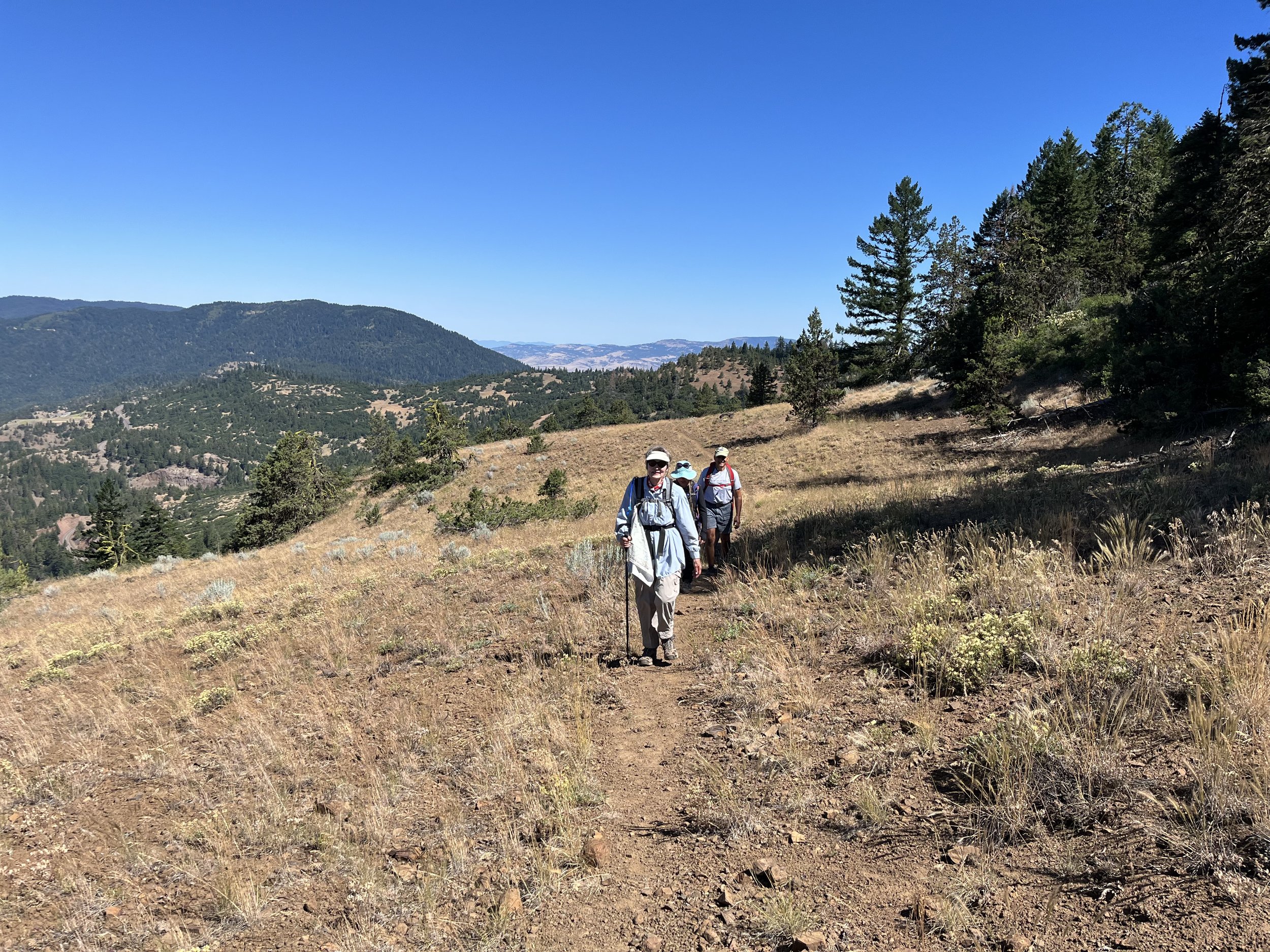
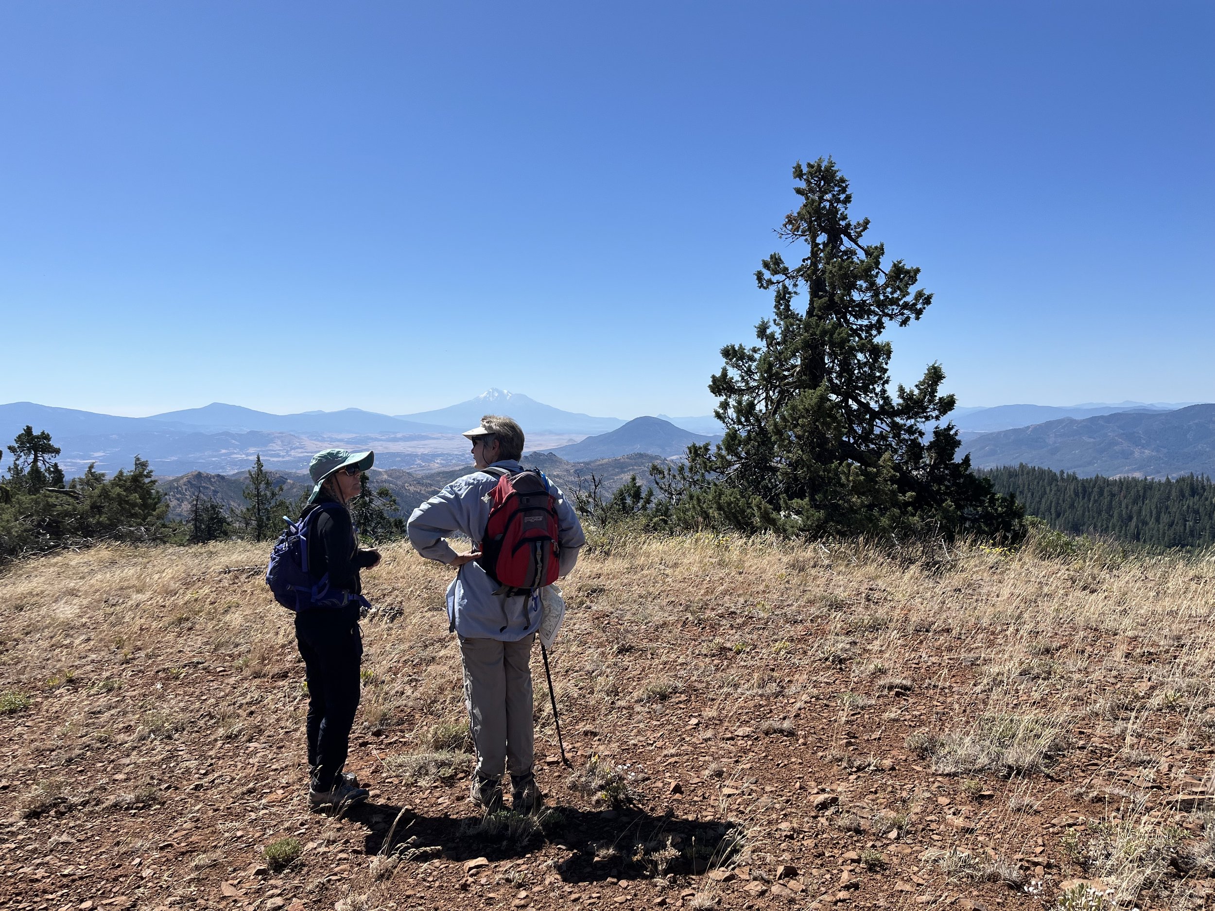
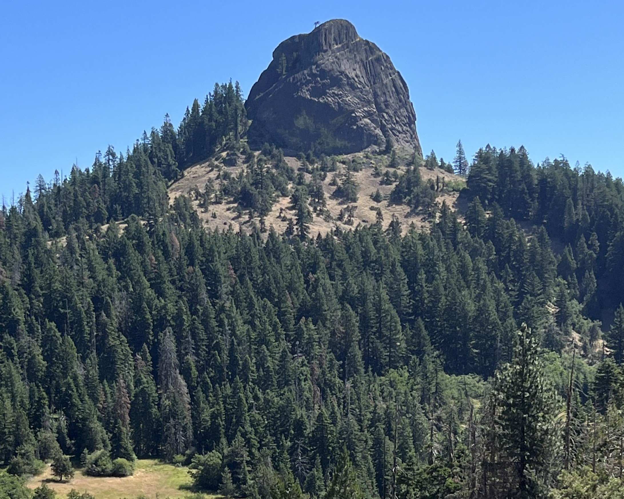
Rhyolite Ridge is the colloquial name for a ridge west of Pilot Rock in the Soda Mountain Wilderness. The route involves starting on the PCT, which feels like a well-traveled highway compared to what comes next: an off-trail jaunt up and over the ridge. At a certain point, you veer off the PCT and follow a decently worn social trail to climb the edge of the ridge. Views abound! As you ascend, Mount Ashland and the endless conifer-covered mountains of the Klamath National Forest to the west. Climbing the ridge brings you to the saddle, not too bad of a climb, especially when you are rewarded with seeing Mount Shasta in all her glory to the south. A glance east and you see the hexagonal columnar basalt that comprises Pilot Rock. It’s always cool to me to find a new perspective on something you see almost every day – if you’re driving towards the Monument, Pilot Rock is a noticeable feature on the mountainous horizon.
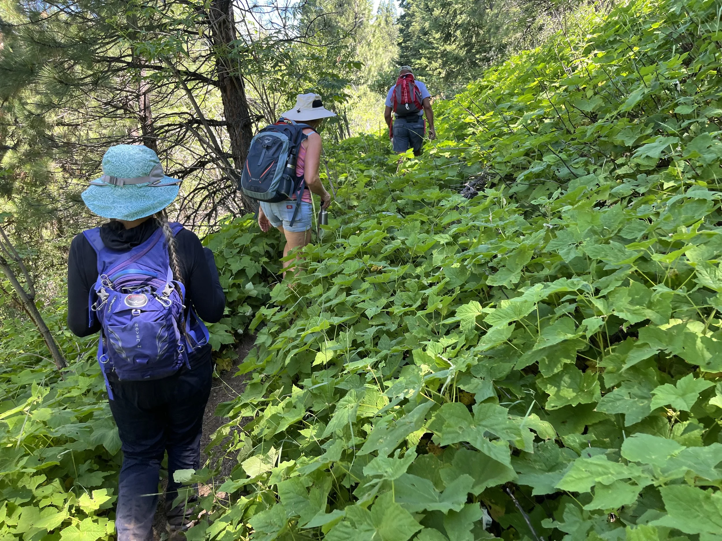
We finish off the hike by descending a scree field, still in bloom with hardy flowers that love sun and rocky soils, meeting with the Lone Pilot Trail to round back to the PCT. This makes a nice little lollipop loop, retracing our steps back to the high-clearance vehicle we took to navigate the bumpy Pilot Rock Road.
To prepare for this hike, I took a good look at my Siskiyou Mountain Club map, which features the CSNM, Soda Mountain Wilderness, and Ashland Watershed Trails. I also use Avenza Maps, an app that has GPS tracking capabilities, even without cell service. If you have the right map, you can find your location on it, which provides extra security when navigating off-trail. You can even mark points on the map, so if you see a plant you’d like to visit again, or if you need to remember an important junction, you can easily do so. Luckily, the BLM has offered a ton of Oregon maps for free, including some that help in hiking the CSNM, like the Soda Mountain Wilderness map and the PCT south. I recommend doing some research before embarking on a journey like this one, and always be sure to Leave No Trace!
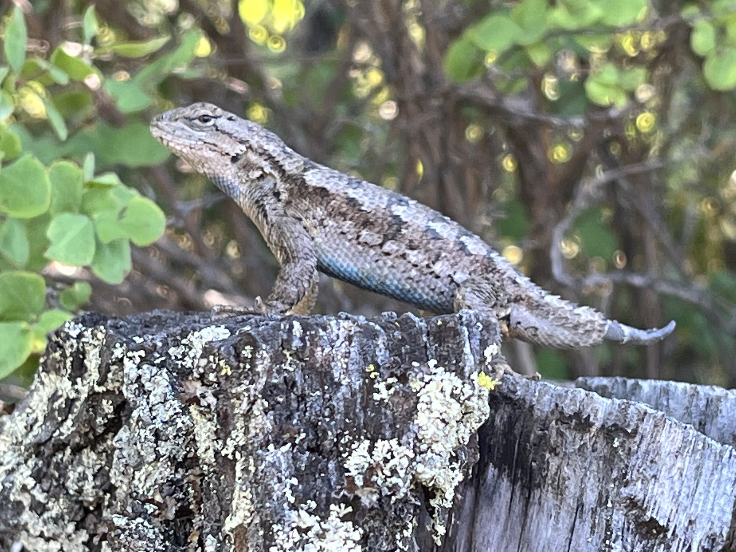
Photos and words by Interpretive Ranger Sarah Martinez.