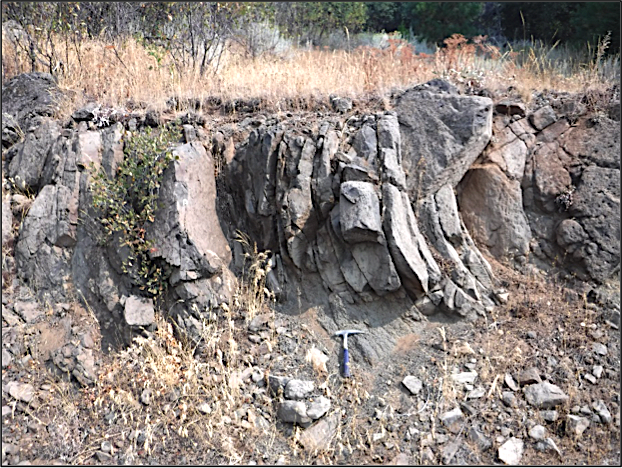
Research included geologic mapping of the Heppsie Formation in the newly-expanded areas of the CSNM, and a continued study regarding the hydrogeology of the eastern part of the original CSNM. The Heppsie Formation is comprised of violently-erupted pyroclastic rocks and lava flows of the Western Cascades, ranging in age dates from 21.7 to 19.6 million years ago. Our primary objective was concluded with similar-appearing lava flows being differentiated and mapped as individual units. The hydrogeology research supported that local variations in geology and groundwater interactions are a large factor in determining stream discharge rates.
Field Notes - November 6, 2017
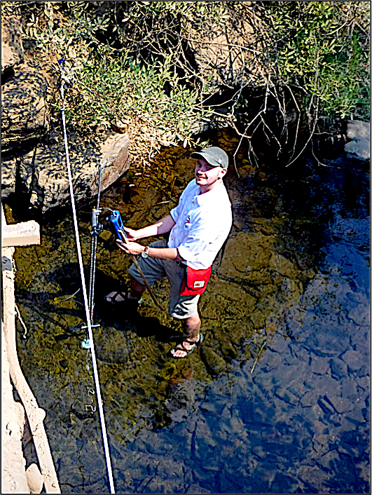
Thank you [Friends of Cascade-Siskiyou National Monument] for giving me the opportunity to work with Jad D’Allura in the beautiful CSNM. Things have been going as well as they can even with all the smoke this last month! The first week I arrived Jad and I finished gathering the stream flow data necessary to compare to previous years, and are now in the final stages of finishing the hydrology report and creating a presentation.
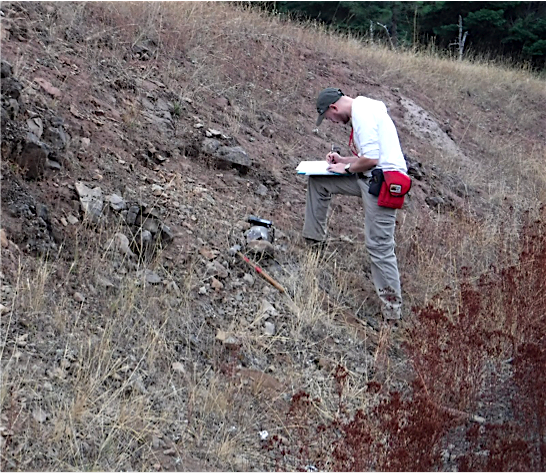
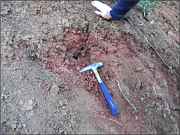
The geology within the monument has been incredibly interesting, challenging, and has given me some real-life experience working in a very limited exposure area; which is very exciting! Much of our time was spent hiking around looking for contacts between our suspected lava flow units and comparing hand samples we’ve collected.
Recently, we have completed making the required thin sections of our samples which allows a more thorough comparison of the lava flows. By using Jad’s petrographic microscopes to analyze some optical properties of the minerals and various (distinguishable) textures we are seeing within the lava, we should be able to separate some of these lava units within the monument. We are also in the process of preparing samples to be sent to Western Washington to have a chemical analysis completed, which should provide further evidence of the different lava flows we’ve found.
Aside from waiting for lab results, we are completing the geologic report which will encompass a history of the geology, unit descriptions, and structural influences on the region. We are also compiling all the data collected on our field maps and will begin creating a more finalized map of the area (hopefully linking up with other completed maps!
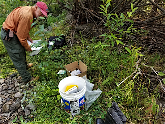
Text and photos by
Alec Sweetland, University of Oregon, Geology
Friends Research Fund Grant 2017