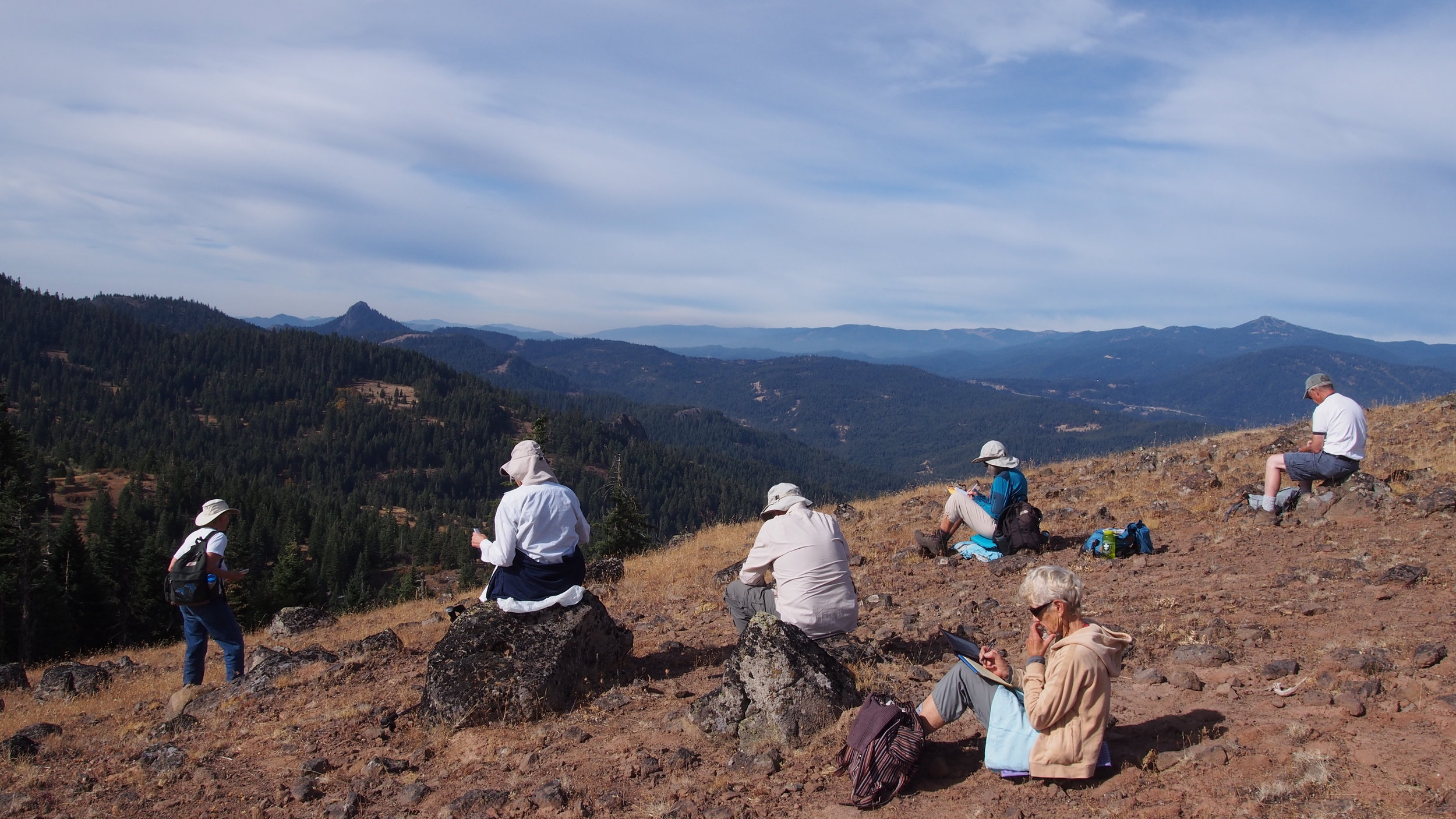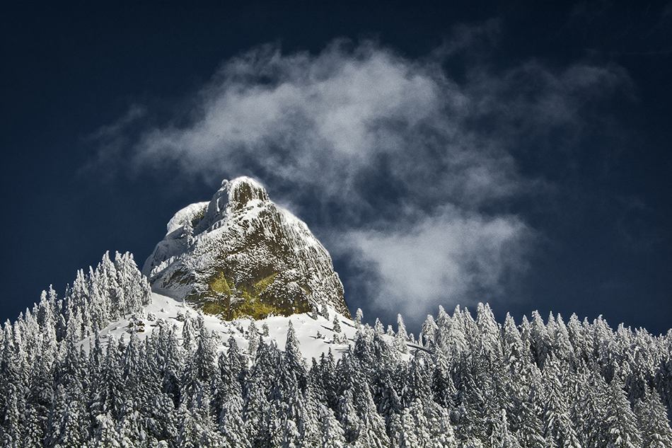

Are you getting cabin fever? Have you spent enough time in the valley this winter and are ready for a change? Your monument is waiting for you and winter is a perfect time to visit! Whether it is a scenic drive, a snowshoe hike or a cross-country ski, the quiet months of winter can be a perfect escape. Many days the air in the valley gets trapped by an inverted cloud layer and produce grey, dreary skies. A short drive up to the monument can reveal a completely different day with blue skies and warmer temperatures.

A Great Grey Owl snow plunge.
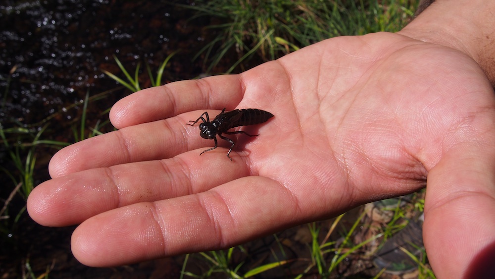
Winter in the monument usually means there is a layer (or two) of snow. Animal tracks in the snow can read like pages in a book, telling the story of the comings and goings of critters found in the monument. Look closely for signs of some of our more common winter residents including snowshoe hare, coyote, chipmunks and squirrels.
While looking for tracks and other signs of animal activity, be sure to keep your eyes open to one of the more spectacular events that reveal itself in snow. The Great Grey Owl, the largest owl by length, is a year-round resident of the monument. In its search for prey, it can use its keen sense of hearing to detect movement of a rodent that can be more than 2 feet under snow. As it dives from the sky into the snow, it leaves behind what is called a “plunge hole”. To the casual observer a plunge hole might look nothing more than a messy ditch but it is much more than that. The straight-down portion of the hole is often accompanied by the imprints of the owl’s wings, giving it more of a batman appearance in the snow. If you find yourself looking onto a plunge hole, you can marvel at this creature and wonder if it was successful in getting its meal!
By Christine Beekman, Interpretive Specialist
Cascade-Siskiyou National Monument
Photos courtesy of BLM.
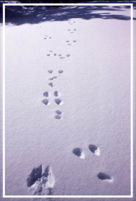
A snowshoe hare bound pattern. The hind feet are at the top and the fronts are at the bottom.