
“I do know how to pay attention, how to fall down
into the grass, how to kneel down in the grass,
how to be idle and blessed, how to stroll through the fields,
which is what I have been doing all day.
Tell me, what else should I have done?
Doesn't everything die at last, and too soon?
Tell me, what is it you plan to do
with your one wild and precious life?”
— from “The Summer Day” by Mary Oliver —

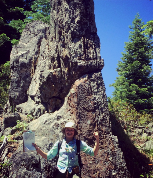
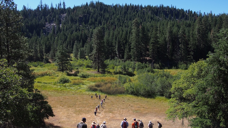
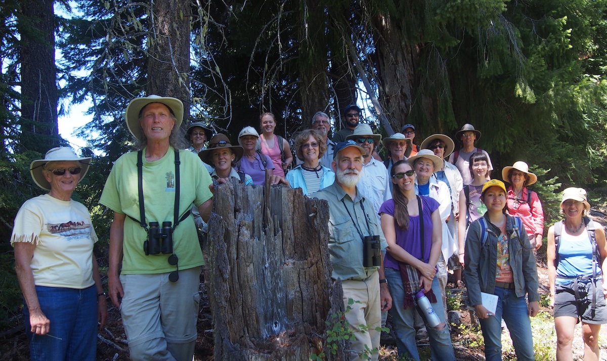
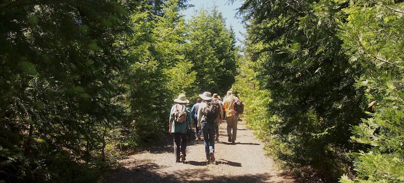
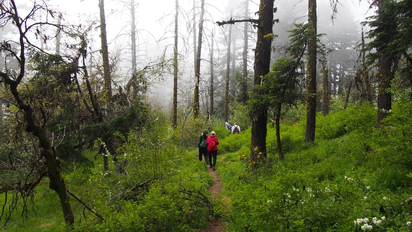
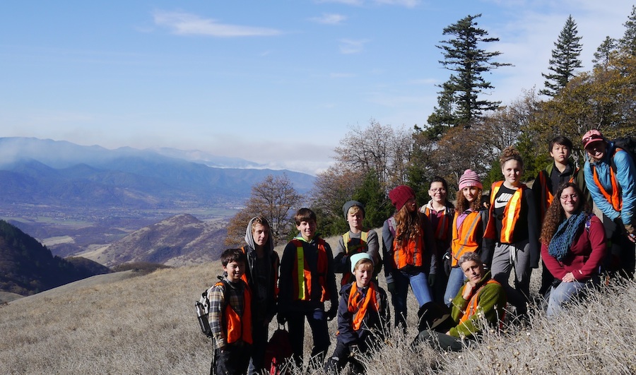
Group at Pilot Rock. KBoehnlein photo
In the sweltering heat of mid-August, a small but stalwart group of hikers set out to explore the Pilot Rock and Lone Pilot trails. Bolstered with water, snacks, journals, colored pencils, and inquiring minds, they we ready to uncover the smallest details of their hike and capture time for creativity.
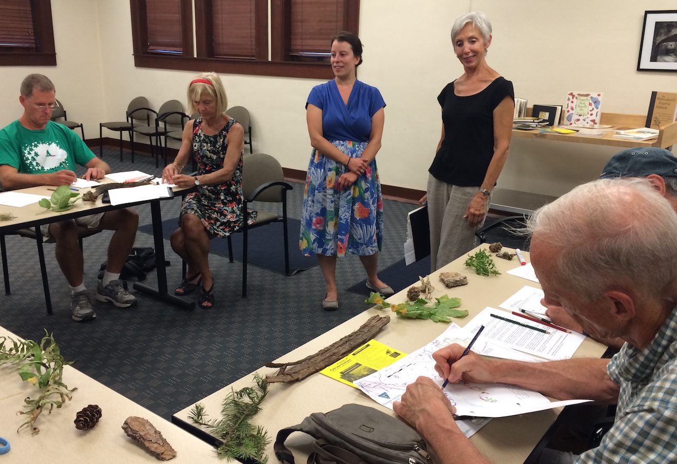
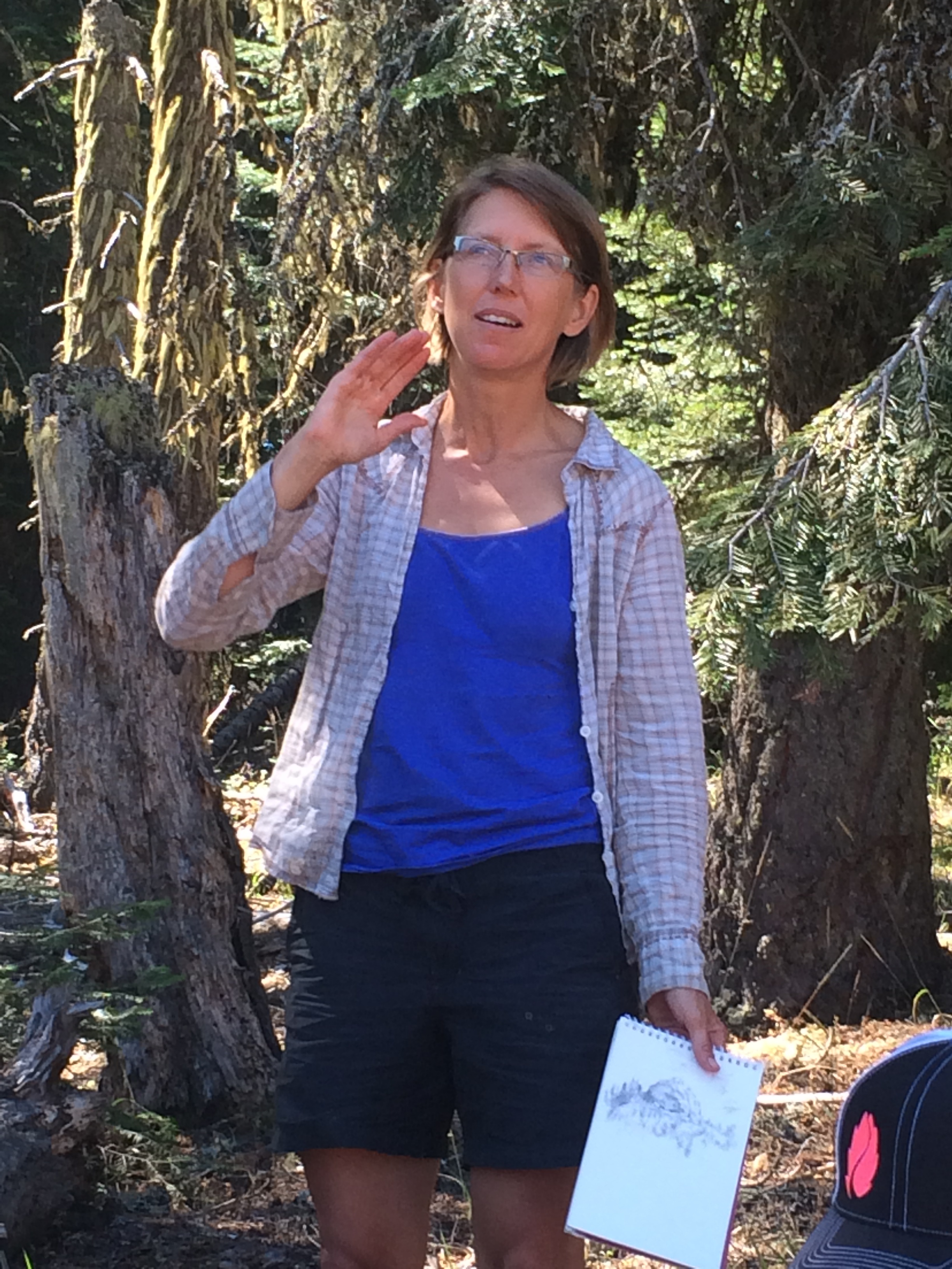
The night before, ten participants gathered at the Ashland Library to make simple cardstock journals and practice sketching, inspired by books and resources gathered by the two leaders, Mary Silva and Katie Boehnlein. Mary has been creating beautiful watercolor and collage travel journals for years, and Katie is a passionate environmental educator and nature writer, so they brought great excitement and expertise to the table. They encouraged their participants to let go of inhibitions, highlighting instead the Japanese philosophy of wabi-sabi, or the art of imperfection, as they readied themselves for the next day’s artistic endeavors.
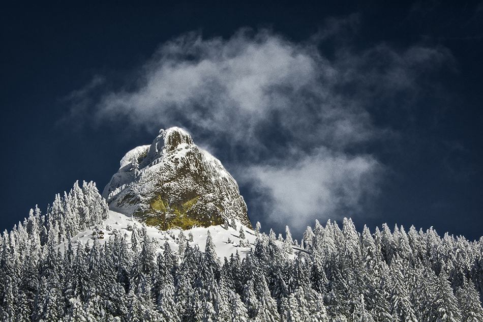
Saturday morning was undoubtedly hot. Small shade at the Pilot Rock trailhead served as the perfect place to read a passage from Thoreau’s Walking, go over the day’s route, and set out on the trail! Though the morning was warm, a small breeze wafted along the winding trail, as the group admired Pilot Rock looming far above to their left. Small black and white butterflies followed in their stead, fluttering between shafts of light bending through tree limbs. A mile down the Pilot Rock trail, the group reached a crossroads. At this point, the Pacific Crest Trail crosses the trail heading closer to Pilot Rock, and the Lone Pilot Trail begins on a deviating spur.
The Siskiyou Mountain Club created the Lone Pilot Trail, a former logging road with fantastic views of Pilot Rock and Mt. Shasta. The road twists and turns throughout 17 miles of the Soda Mountain Wilderness, which is located within the Cascade-Siskiyou National Monument. On just the two miles of this trail that the group explored, they passed through diverse habitat: deep ponderosa pine forest as well as open oak savannah.
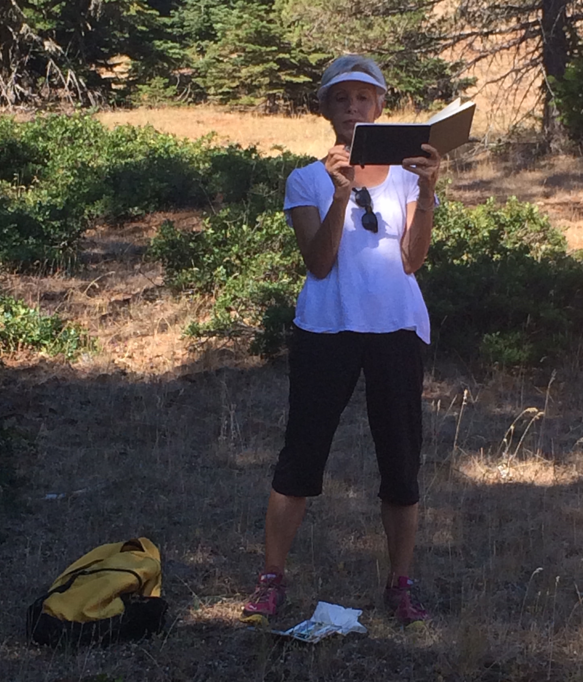
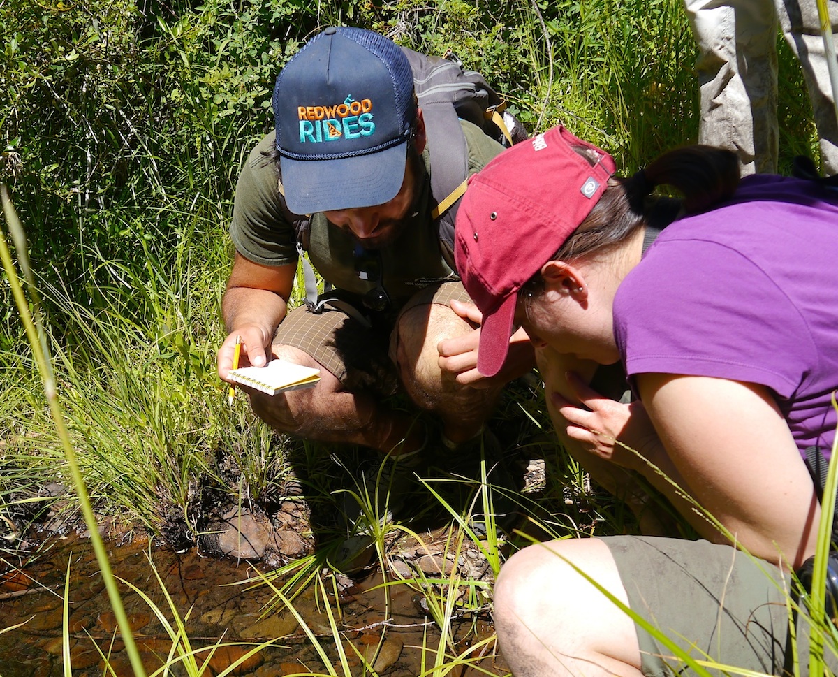
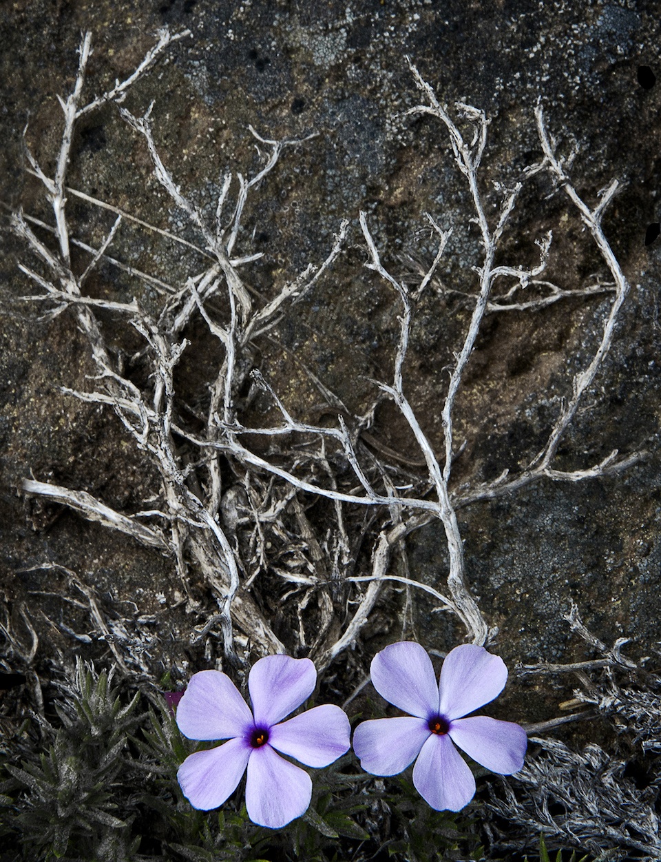
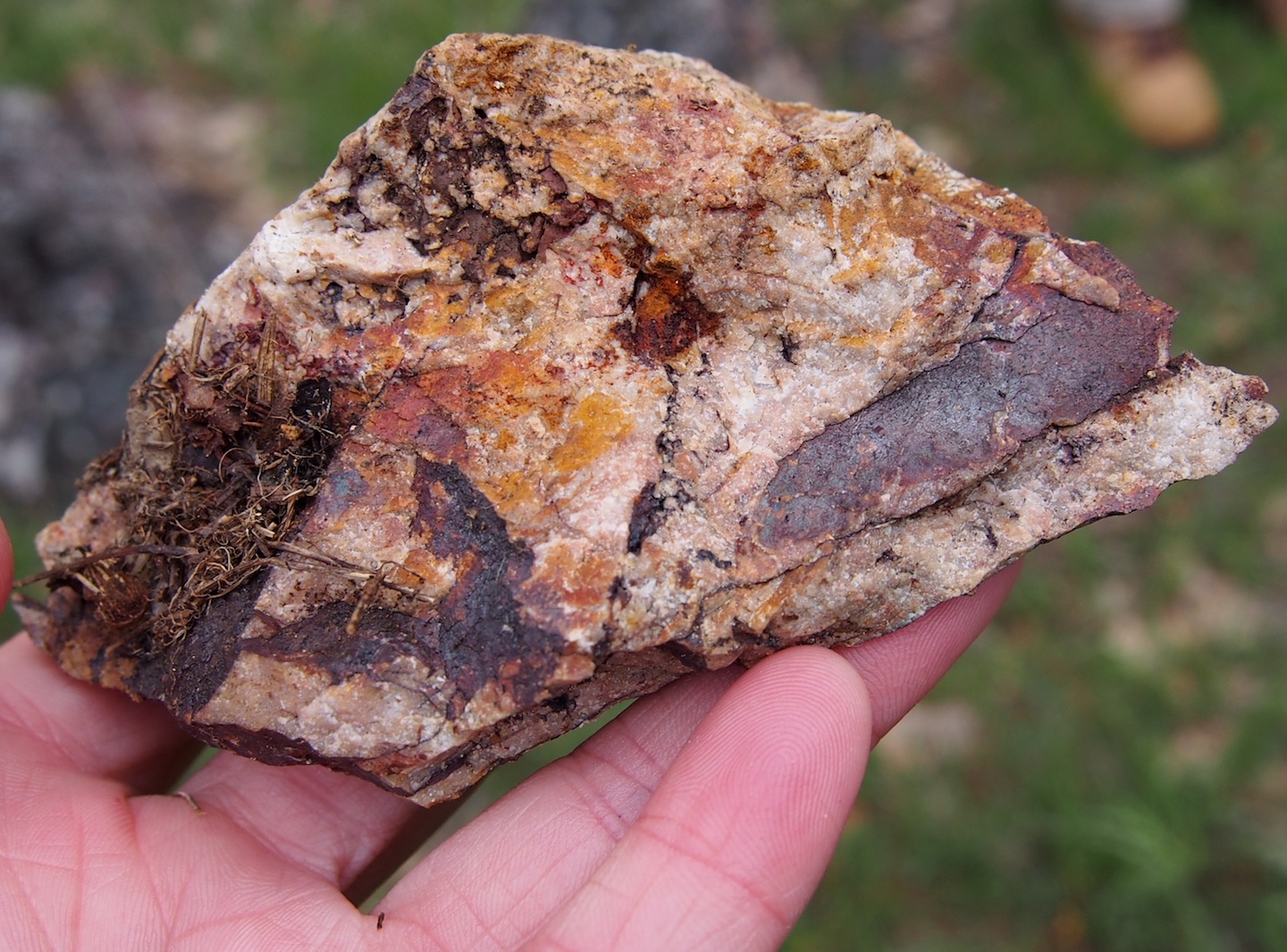
Our first stop was in a large clearing directly below Pilot Rock. We paused here for our first chance to sketch and write. Taking inspiration from a lone pine tree clinging to life at the top of Pilot Rock, we contemplated, “How do things end up where they do?” musing on the origins of small rocks, tiny wildflowers, and the immense of Pilot Rock, a volcanic plug that still juts high into the sky thousands of years after its molten creation.
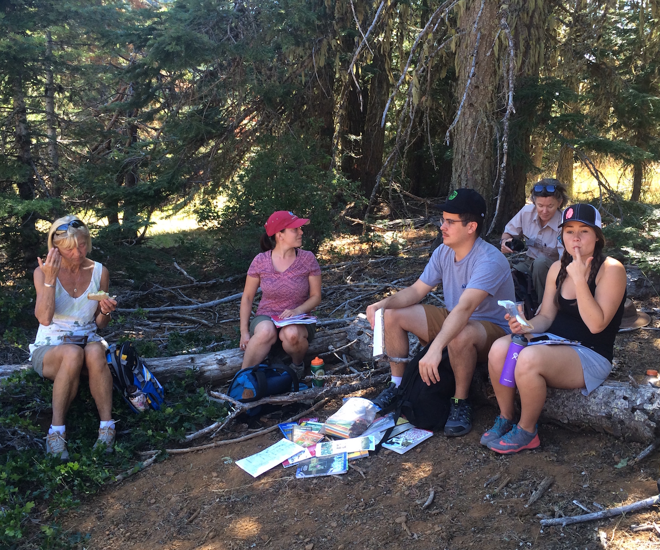
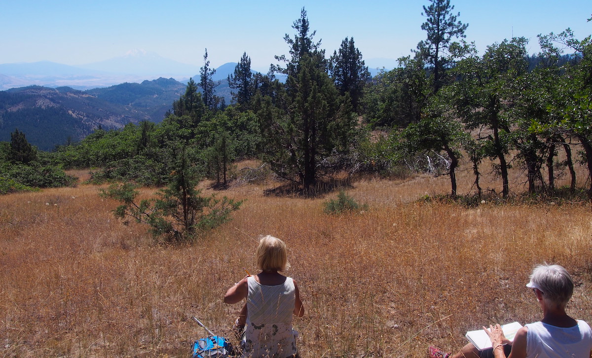
We ate lunch beneath the cooling shade of ponderosa pine needles, sketching and talking as we ate. We dug our hands into layer upon layer of discarded ponderosa bark, a mire of puzzle pieces that serve as the tree’s best defense against fire. We then moved further out into the open to glimpse the imposing Mt. Shasta, hazy in the heat, while listening to the legend of Shasta and the Grizzlies, and inspiration of history and folklore. As the afternoon heat came to a head, we ventured up the hill once again and back towards the trailhead.
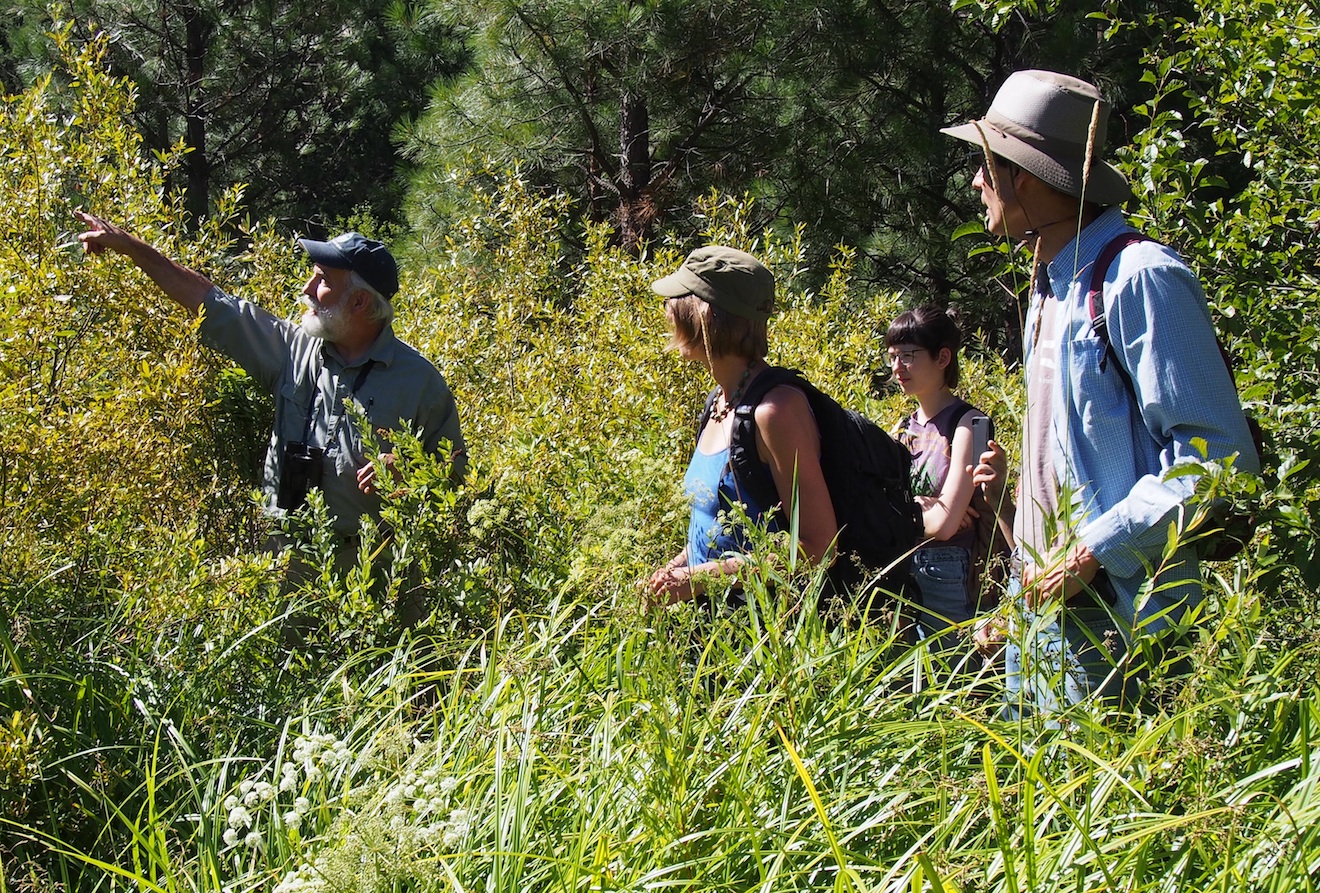
Our final stop was in a lush, shady clearing alongside the trail. We read Charles Finn’s short essay called Chickadee, watching birds flit around us from branch to branch. They seemed tireless despite the heat. As we rose to return to our cars, filled to the brim with the Monument’s beauty and the day’s inspiration, a little voice called to us in farewell: “chickadee-dee-dee…chickadee…”
Text and photos by Katie Boehnlein, Hike and Learn Coordinator
Exploring Place with Nature Journaling and Field Sketching


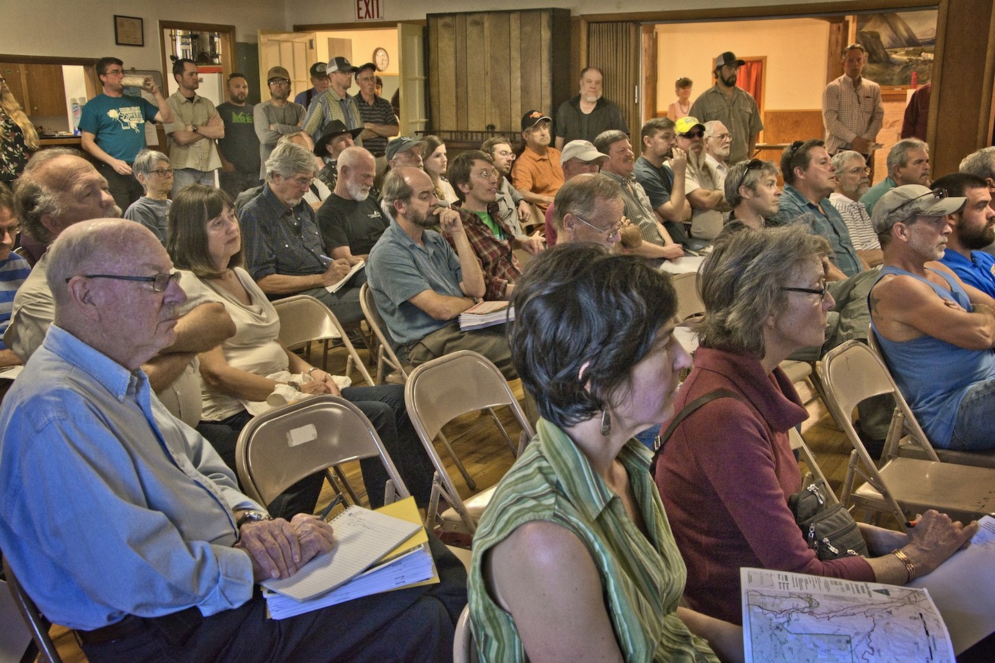


![Around 120 Jackson County residents gathered in Ashland on Saturday [January 24, 2016] to stand in solidarity with the communities in Harney County. See more rallies of support in Oregon at Oregon Wild.](https://images.squarespace-cdn.com/content/v1/5240c4e4e4b09577ccb58b07/1453867245230-9Q41NN3UVHBVDPINK3EN/Rally+to+support+Malheur+in+Ashland-ORMattWittphoto.jpg)